Greenland Creek Falls
Nantahala National Forest
Highlands Ranger District
2010 Flat Mountain Rd,
Highlands, N.C. 28741
(828) 526-3765
The Nantahala National Forest is the largest of North Carolina’s four national forests, covering over 530,000 acres in the westernmost part of the state. Named after the Cherokee word “Nantahala,” meaning “Land of the Noon Day Sun,” this forest is known for its deep gorges and valleys, where sunlight may only penetrate at midday. Panthertown Valley is located within the Highlands Ranger District of the Nantahala National Forest in western North Carolina. This district is known for its rich biodiversity, dramatic landscapes, and a variety of recreational opportunities, with Panthertown Valley being one of its most prominent features.
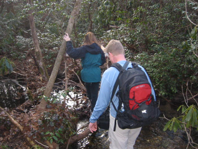
Panthertown Valley has 6,295 acres of protected public land in the Nantahala National Forest. The Valley lies on the eastern continental divide in North Carolina’s Blue Ridge Mountains and is occasionally referred to as “the Yosemite of the East” for the its deep gorges, broad valleys, mountain bogs and granitic rock domes, tranquil creeks and plunging waterfalls. The hike to Greenland Creek Falls begins at Cold Mountain Gap and descends along an old forest road to Greenland Creek on the Mac Gap Trail. Here it junctions with the Greenland Creek Trail which you follow upstream heading to the southeast to Greenland Creek Falls. Greenland Creek Falls are impressive and drop roughly 40-50 feet into a heavily forested and rocky pool at their base. From here, backtrack to the junction with the Mac Gap Trail, but this time continue following the Greenland Creek Falls trail downstream until it breaks from the creek and follows a ridge up to a massive powerline tower. From here the parking area is just off to your right.
- click for a trip report of this hike to Greenland Creek Falls: January 20, 2007 (password required)
- click for the Nantahala and Cullasaja Gorges Trails Illustrated Map for Panthertown
- click for a topo and campsite map of this hike to Panthertown Creek (password required)
- click for a profile map from the Cold Mountain trailhead to Panthertown Creek (password required)
- click for a trail map of the entire Panthertown Valley trail system (password required)
- click for a project map from the US Forest Service for Panthertown
- click for a trail map of this hike to Greenland Creek Falls
- click for a topographical and profile map of this hike from the Salt Rock trailhead (password required)
- click for a topo and profile map of this hike from the Cold Mountain trailhead (password required)
- click for a hike to Greenland Creek Falls in January 2007 and November 2022
- click for a backpacking trip to Greenland Creek Falls in November 2022
- click for the guidebook North Carolina Hiking Trails for more details on this area
- click for other North Carolina hiking and backpacking books