Devil’s Elbow
Nantahala National Forest
Highlands Ranger District
2010 Flat Mountain Rd,
Highlands, N.C. 28741
(828) 526-3765
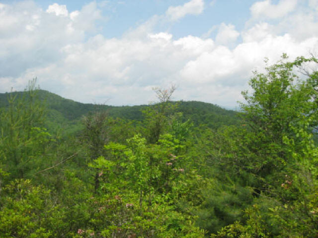
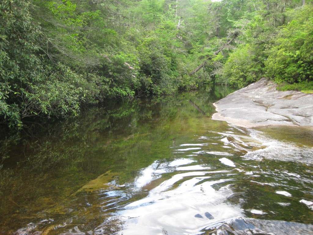
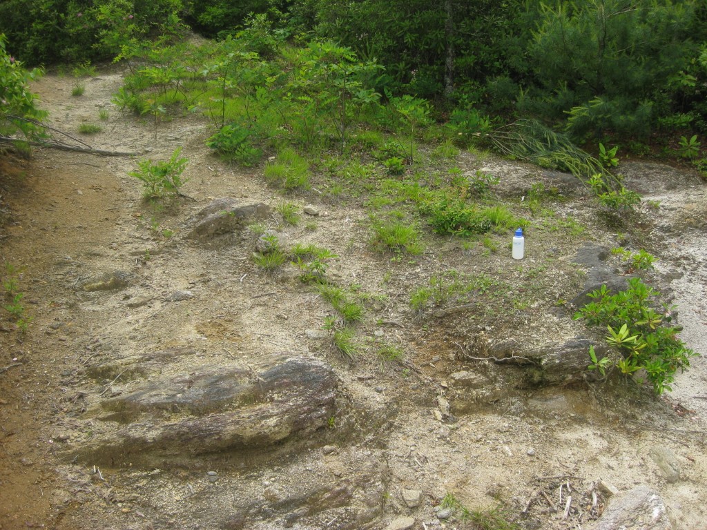
The National Forest Service acquired Panthertown Valley in 1989 from Duke Power through a landmark conservation effort coordinated by The Nature Conservancy, permanently protecting one of the most spectacular backcountry areas in the southern Appalachians. Today, the valley encompasses more than 6,300 acres within the Nantahala National Forest and is often referred to as the “Yosemite of the East” because of its dramatic granite cliffs, broad mountain valleys, numerous waterfalls, and extensive network of streams. Despite its growing popularity with hikers, backpackers, anglers, and photographers, Panthertown remains remarkably wild. Most trails are unmarked, with few blazes or signs to guide visitors, giving the area a true wilderness feel. Primitive campsites are scattered throughout the valley, allowing backpackers to spend a night beside rushing streams or beneath towering hardwood forests. One of Panthertown’s greatest attractions is its incredible concentration of waterfalls. Dozens of cascades, ranging from small tumbling falls to impressive multi-tiered drops, are tucked away along the valley’s creeks. Many feature crystal-clear pools that provide refreshing swimming holes during the warmer months, while the cold mountain streams offer excellent opportunities for trout fishing. Because of the maze of intersecting footpaths, old logging roads, and unofficial social trails, navigation can be confusing even for experienced hikers. Carrying a detailed trail map, compass, or GPS device is strongly recommended to avoid taking wrong turns and to fully enjoy exploring this unique mountain landscape.
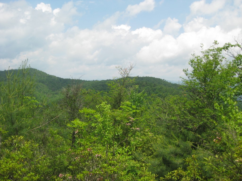
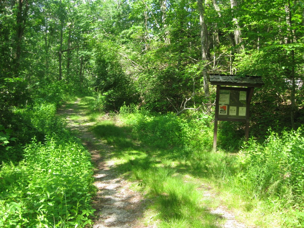
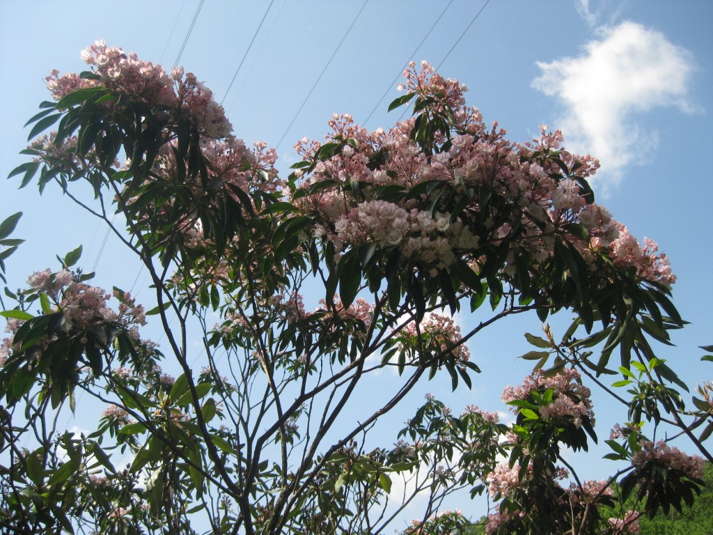
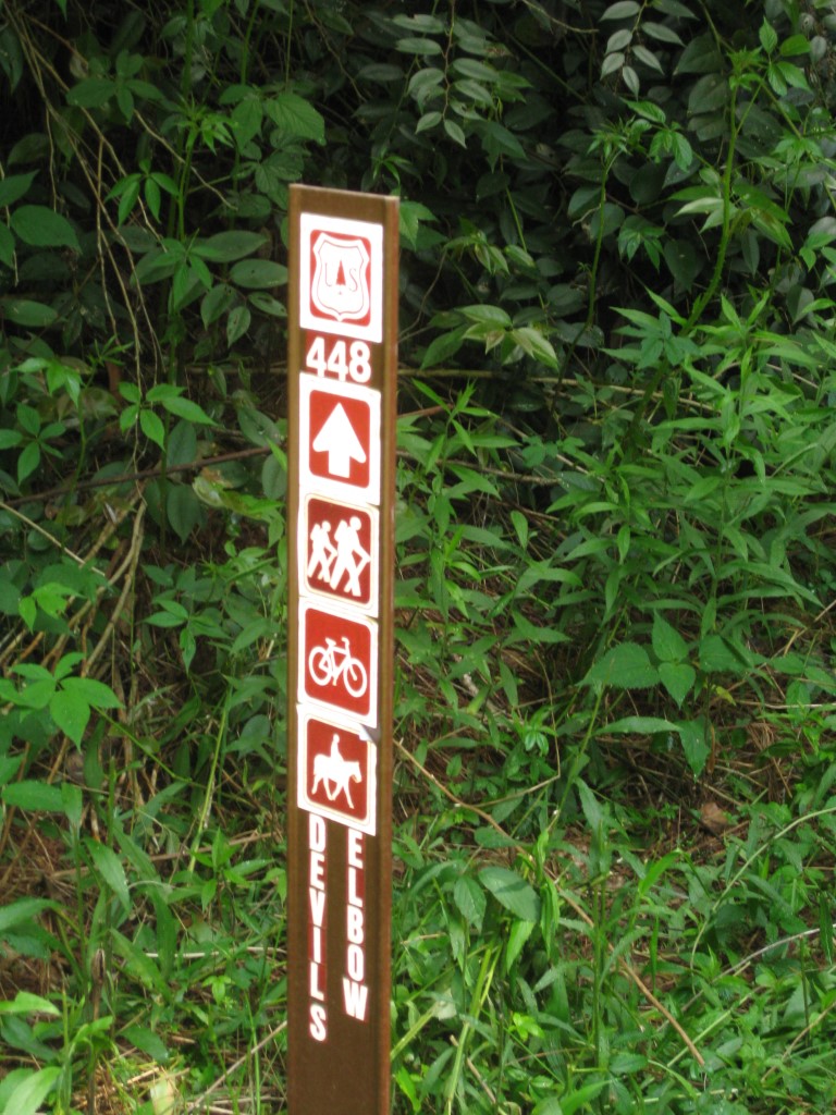
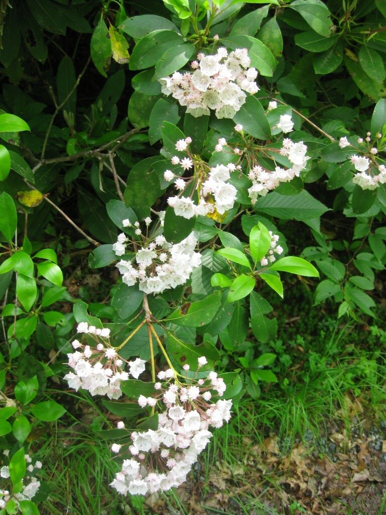
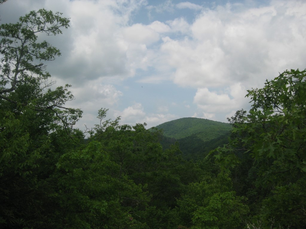
This hike begins at the Cold Mountain Gap Trailhead on Panthertown Valley Road and immediately descends through a peaceful hardwood forest toward the valley floor. The gradual downhill walk provides a pleasant warm-up as the trail makes its way toward Panthertown’s primary corridor trail. Just before reaching a wooden footbridge, hikers leave the popular route leading to Schoolhouse Falls by turning onto Trail 448, which branches to the right. After crossing Little Green Creek, the trail begins a steady climb up the ridge known as Devil’s Elbow. Although the ascent is not especially steep, it gains elevation consistently as it winds through rhododendron tunnels, mountain laurel thickets, and mixed oak and pine forests. During the summer months, dense foliage limits many of the views, but occasional openings reveal glimpses of the surrounding Blue Ridge Mountains and the broad valley below. In late autumn and winter, when the leaves have fallen, the overlook becomes much more rewarding, offering expansive views across Panthertown Valley toward the rugged mountain ridges that surround this remarkable wilderness. Along the climb, hikers are treated to the quiet solitude that makes Panthertown so special, with the sounds of flowing creeks, singing birds, and rustling leaves often replacing the noise of civilization.
- click for more photos from this hike in Panthertown Valley: June 5, 2010
- click for a trip report from this hike in the Nantahala National Forest: June 5, 2010 (password required)
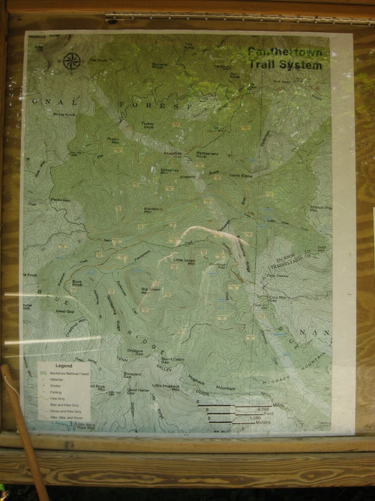
- click for the Nantahala and Cullasaja Gorges Trails Illustrated Map of Panthertown
- click for a topo and campsite map of this hike to Panthertown Creek (password required)
- click for a profile map from the Cold Mountain trailhead to Panthertown Creek (password required)
- click for a trail map of the entire Panthertown Valley trail system (password required)
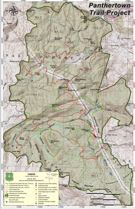
- click for a project map from the US Forest Service for Panthertown
- click for a trail map from this hike to Devil’s Elbow from the Cold Mountain trailhead (password required)
- click for a topo and profile map of this hike to Schoolhouse & Middle Warden Falls (password required)
- click for a hike on the Bird Berry Trail later this week
- click for the guidebook North Carolina Hiking Trails for more details on this area
- click for other North Carolina hiking and backpacking books