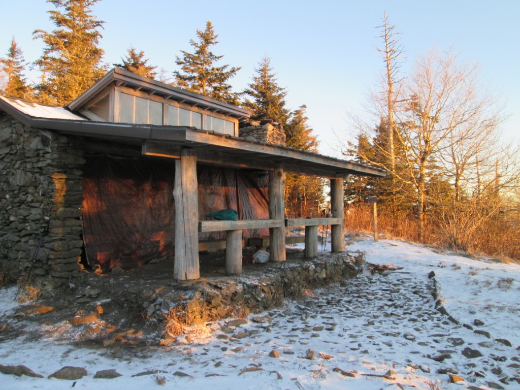
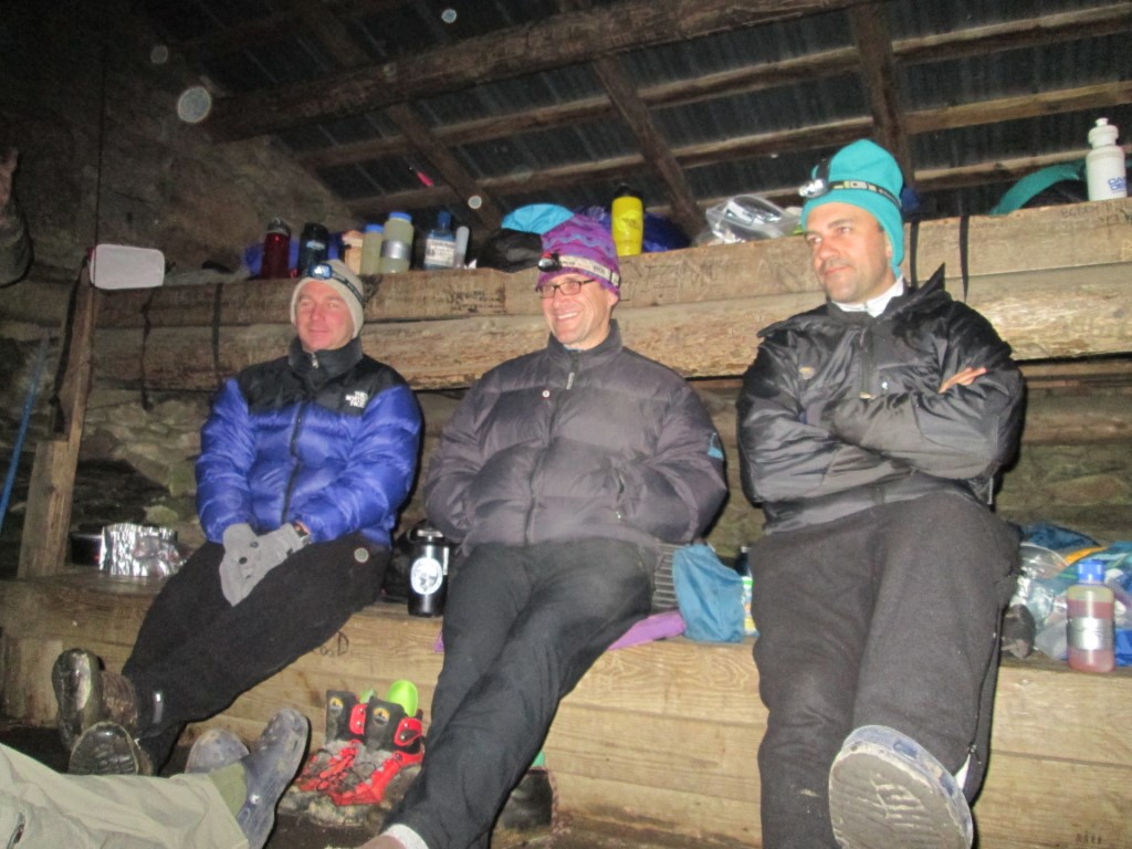
Ice Water Springs (via Newfound Gap to Smokemont)
Great Smoky Mountains National Park
107 Park Headquarters Road
Gatlinburg, TN 37738
(865) 436-1200

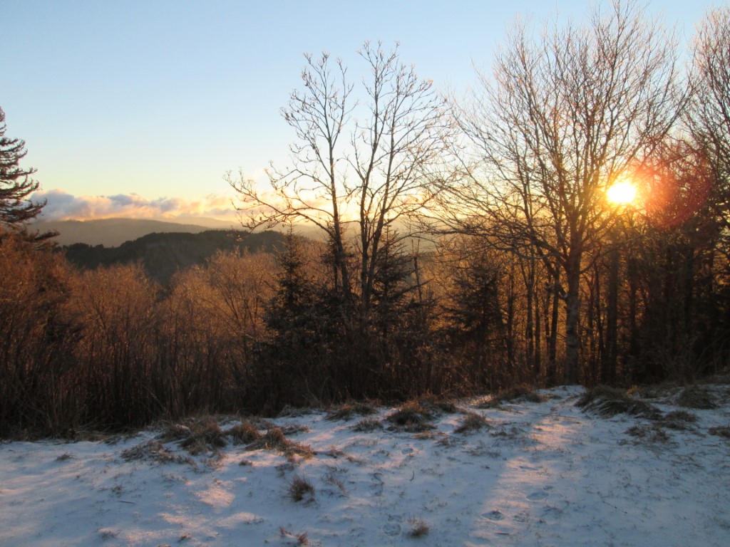
The Great Smoky Mountains National Park stretches across 800 square miles, with nearly 95 percent of its land covered in forest. These ancient mountains, which are among the oldest on Earth, are built from rocks more than 200 million years old with their jagged peaks worn down into the soft, rounded ridges that are present today. These ridgelines are traversed by the Appalachian Trail which climbs to its highest point at Clingmans Dome (6,643 feet) and straddles the border of North Carolina and Tennessee in the park. From the ridges you will often see a distinctive blue haze that lingers over the valleys. It is a natural mist that is created when plants release water vapor and organic compounds into the air which gives the area its trademark “Smoky” Mountains name. Unfortunately, the majority of the people that visit the park never visit the backcountry and see some of the best wilderness in the Southeastern U.S.
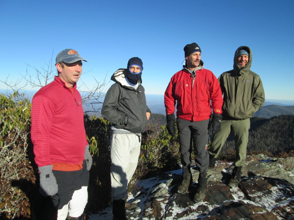
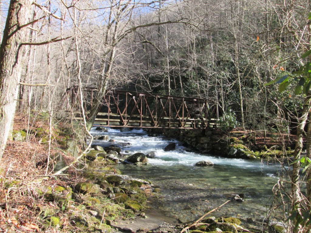
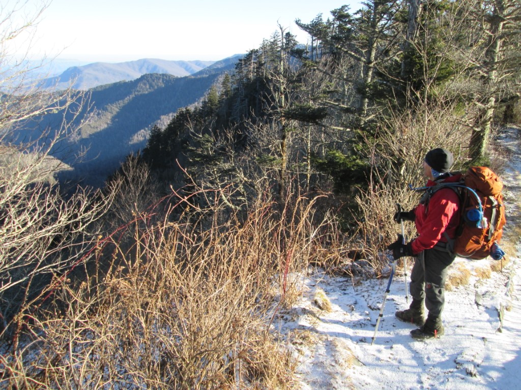
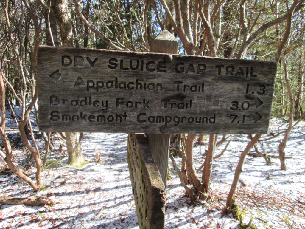
This hike starts at Newfound Gap on US 441 and climbs to Ice Water Springs (5920 feet) then to Charlie’s Bunion which has outstanding views to the north. From here, the route follow the Appalachian Trail for another mile along the ridge that marks the Tennessee and North Carolina border, then picks up the Dry Sluice Gap Trail and drops over 2500 feet to the Cabin Flats Trail. The hike continues for another 0.5 miles descending to a bridge over the Tennessee Branch then arrives at a junction with the Bradley Fork Trail. From this point, the trail is relatively flat as it follows Bradley Fork along an old dirt road to Smokemont Campground. It’s much easier to walk this route down rather than up – with the Dry Sluice Trail being the most steep section on this entire hike.
- click for video of a winter sunset from the Appalachian Trail and our Smoky Mountain night hike
- click for video of a Smoky Mountain snow & sunrise and our hike out on the Dry Sluice Gap trail
- click for a photo journal of this backpacking trip to Ice Water Springs Shelter
- click for more photos from this hike to Charlie’s Bunion: January 11, 2014 (password required)
- click for a trip report of this overnight hike near Newfound Gap in the Smokies: January 11, 2014 (password required)
- click to purchase a Trails Illustrated map of Great Smoky Mountains National Park
- click for a road and facilities map of Great Smoky Mountains National Park
- click for a trail map of Great Smoky Mountain National Park
- click for a topo and profile map of this hike from Newfound Gap to Icewater Springs Shelter (password required)
- click for a topo and profile map of this hike from Newfound Gap to Smokemont via the Dry Sluice Trail (password required)
- click for a map of some other trails hiked in this area in the Great Smoky Mountains National Park
- click for other hikes to Ice Water Springs Shelter in October 1992 and February 2005
- click for a list of all our Klondike hikes that date back to the late 90’s (password required)
- click for the guidebook Trail By Trail: Backpacking In The Smoky Mountains which has details on this destination
- click for other North Carolina hiking and backpacking books
- click for more information on the Appalachian Trail
- click for more hiking and backpacking books on the Appalachian Trail