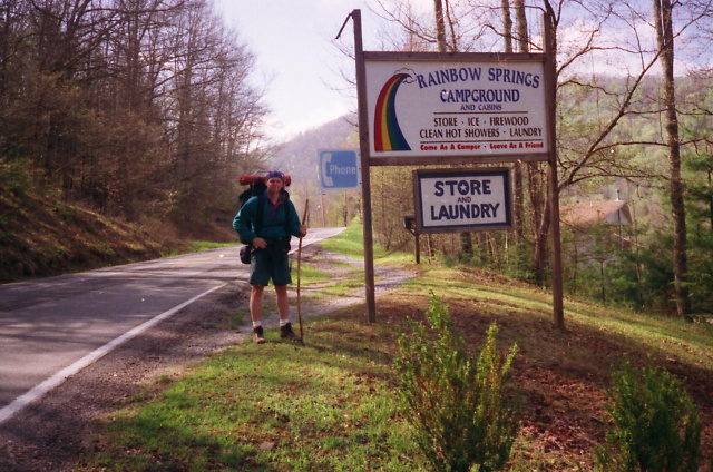
Appalachian Trail #3 (Wallace Gap to Fontana Dam)
Appalachian Trail Conservancy
799 West Washington Street
Harpers Ferry, WV 25425
(304) 535-6331
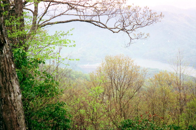
The Appalachian Trail runs along the border of North Carolina and Tennessee for about 200 miles, often straddling the ridgeline that separates the two states. It’s one of the most scenic and diverse sections of the entire 2,190+ mile trail, with high elevations, scenic balds, dense forests, and stunning views. The State of North Carolina has the highest point of the entire A.T. at Clingmans Dome (6,643 feet) which is on the ridgeline in the Great Smoky Mountain National Park.
The Appalachian Trail in this section passes near the town of Franklin, North Carolina and crosses some classic southern balds on the mountains of Siler, Wesser, and Cheoah in this sixty mile traverse of the Nantahala National Forest. The Nantahala River and N.O.C. (Nantahala Outdoor Center) are nice stops on the route to Fontana Dam, which at 480 feet, is the end of this section and the start of the A.T. in the Great Smoky Mountain National Park.
- click for a short video slideshow of my 1994 hike on the Appalachian Trail
- click for trail photos from this backpacking trip along the Appalachian Trail: April 22-27, 1994
- click for a trail journal from this section of A.T. in North Carolina: April 22-27, 1994
- click for a Daytimer report from this backpacking trip to Fontana Dam: April 22-27,1994 (password required)
- click to purchase the Nantahala and Cullasaja Gorges Trails Illustrated map for this area
- click for a trail map of the Appalachian Trail in Georgia, North Carolina, and Tennessee (password required)
- click for an ATC trail map from Wallace Gap to Cold Spring Shelter (password required)
- click for an ATC trail map from Cold Spring Shelter to the NOC (password required)
- click for an ATC trail map from the NOC to Brown Fork Gap Shelter (password required)
- click for an ATC trail map from Brown Fork Gap Shelter to Fontana Dam (password required)
- click for an ATC profile map from Wallace Gap to Licklog Gap (password required)
- click for an ATC profile map from Burningtown Gap to the NOC (password required)
- click for an ATC profile map from the NOC to Stecoah Gap (password required)
- click for an ATC profile map from Stecoah Gap to Cable Gap (password required)
- click for an ATC profile map from Cable Gap to Fontana (password required)
- click for the guidebook Appalachian Trail: Georgia-North Carolina which has details on this area