Appalachian Trail #5 (Davenport Gap to Nolichucky River)
Appalachian Trail Conservancy
799 West Washington Street
Harpers Ferry, WV 25425
(304) 535-6331
The Appalachian Trail from Davenport Gap to the Nolichucky River covers roughly 100 miles through western North Carolina and eastern Tennessee and is considered a challenging but rewarding section of the southern A.T. This section leaves the Great Smoky Mountains at Davenport Gap then quickly climbs onto forested ridges and open highlands – offering a classic mix of long ascents, descents, and ridge walking. This stretch is known for its variety—quiet hardwood forests, narrow ridgelines, and expansive mountain views which makes it popular with both section hikers and thru-hikers.
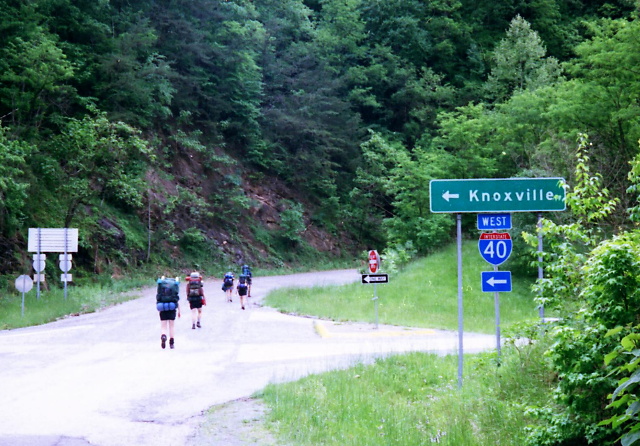
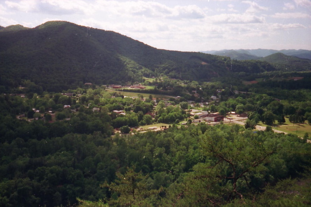
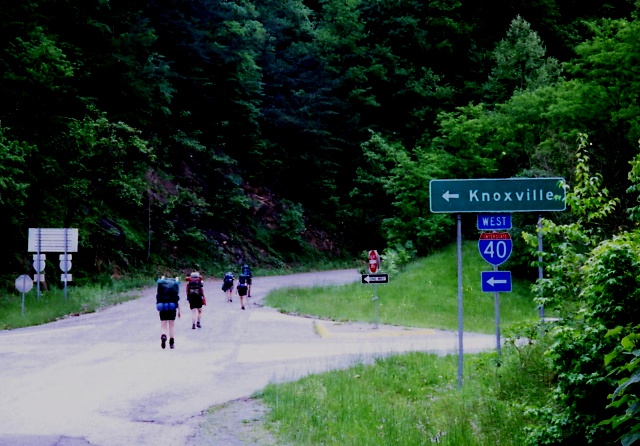
Major highlights in this section include Max Patch, a famous grassy bald with sweeping 360-degree views, and the welcoming trail town of Hot Springs, North Carolina where the A.T. runs directly through town and provides an ideal resupply point. North of Hot Springs, hikers cross rugged terrain over peaks like Rich Mountain and Big Bald before descending toward the dramatic gorge of the Nolichucky River near Erwin, Tennessee. The section of the A.T. ends with a steep descent to the Nolichucky River, a memorable transition point at the Nantahala Outdoor Center on the Appalachian Trail near Erwin, Tennessee.
- click for a short video slideshow of my 1994 hike on the Appalachian Trail
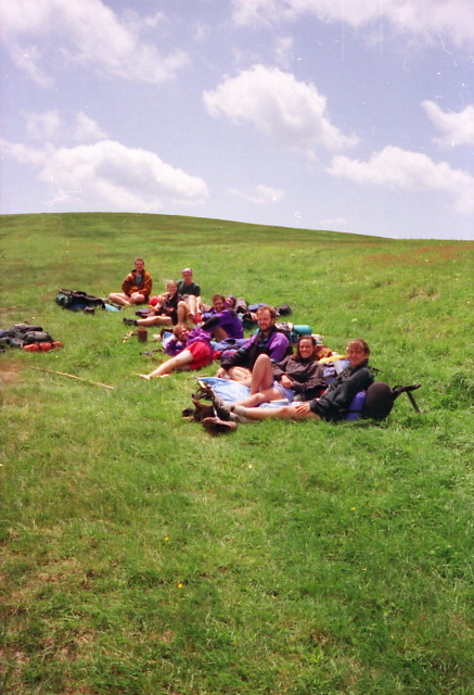
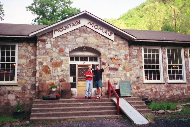
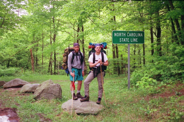
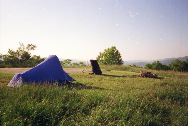
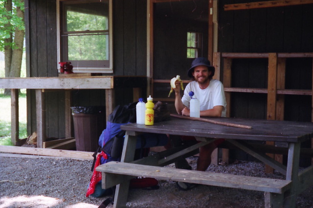
- click for trail photos from this backpacking trip on the A.T.: May 14-22, 1994
- click for a trail journal from this section of Appalachian Trail: May 14-22, 1994
- click for a Daytimer report from Davenport Gap to the the Nolichucky River (password required)
- click for a trail map of the Appalachian Trail in Georgia, North Carolina, and Tennessee (password required)
- click for a trail map of the entire ~2200 mile Appalachian Trail
- click for a USFS map from Erwin to Damascus (password required)
- click to purchase the guidebook Hiking Tennessee with more details on this destination
- click for more information on the Appalachian Trail
- click for Appalachian Trail hiking and backpacking books
- click for more hikes in the States of North Carolina and Tennessee