Appalachian Trail (Delaware River to NJ/NY Border)
Appalachian Trail Conservancy
799 West Washington Street
Harpers Ferry, WV 25425
(304) 535-6331
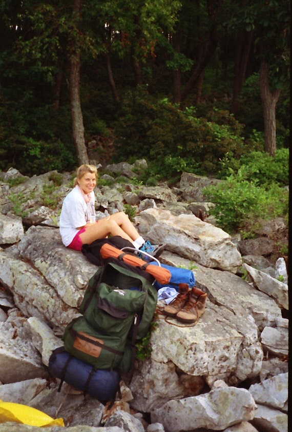
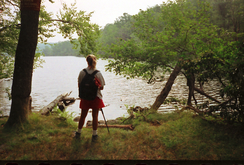
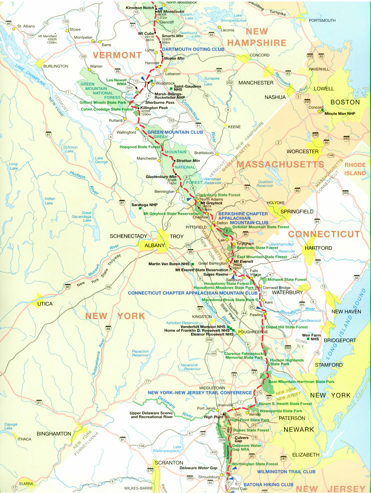
There are seventy two miles of Trail in New Jersey, and the elevation changes are generally moderate and range from 350 to 1,685 feet in the State. The terrain is relatively flat and gentle but there are short, steep, and rocky sections and others that cross bogs and wetlands, including the Vernie Swamp, a freshwater wetland habitat with bog bridges, thick vegetation and lots of wildlife. The northbound route in New Jersey starts when the Appalachian Trail crosses a bridge over the Delaware River and enters the Delaware Water Gap National Recreation Area. There is a visitor center on the east end of the bridge along Interstate-80 and water, restrooms, a picnic area, and parking are located on the site. The A.T. climbs along Dunnfield Creek and reaches the first glacial lake on the route at Sunfish Pond. It’s a very scenic but popular and overused area, and camping is prohibited as a result.
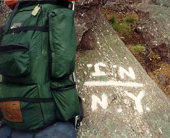
The Trail continues along the the Kittatinny Range and reaches the Catfish Fire Tower (1,565 feet) thirteen miles into this section. It is much more rugged and remote than most hikers expect, and there is abundant wildlife in the area including an active black bear population. The highest summit on the Trail in New Jersey is at Sunrise Mountain which has open ledges and beautiful views to the east. High Point State Park, however, has the highest point in the state at the High Point Monument (1,803 feet). It is located just off the A.T. on a blue-blazed side trail. The trail reaches the New Jersey/New York border after traversing the Vernon Valley, a former glacial lake. Near the Warwick Turnpike and Wawayanda State Park it crosses into New York along the ridge of Bearfort Mountain.
- click for a short video slideshow of my 1994 thru-hike on the Appalachian Trail
- click for more photos from this hike on the A.T. in New Jersey: July 30-August 4, 1994
- click for thru-hiker Appalachian Trail interviews from 1994 (password protected)
- click for a trail journal from this section of the A.T. in New Jersey: July 30-August 4, 1994 (password required)
- click for a topo and profile map of the Appalachian Trail in New Jersey (password protected)
- click for a map of the A.T. through New Jersey (password protected)
- click for a map of the Appalachian Trail in New Jersey & New York (password protected)
- click for a trail map of the entire ~2200 mile Appalachian Trail
- click for more hikes in the Delaware Water Gap National Recreation Area (password protected)
- click for the A.T. in High Point State Park: topo/profile map 1, topo/profile map 2 (password protected)
- click for more information on the Appalachian Trail
- click for Appalachian Trail hiking and backpacking books