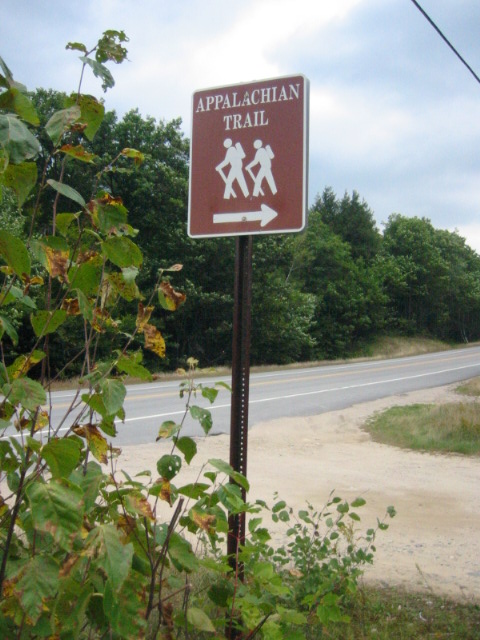
Appalachian Trail #8 (Mt. Moriah to Gorham)
White Mountain National Forest
719 Main Street
Laconia, NH 03246
(603) 528-8721

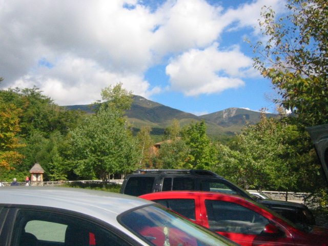
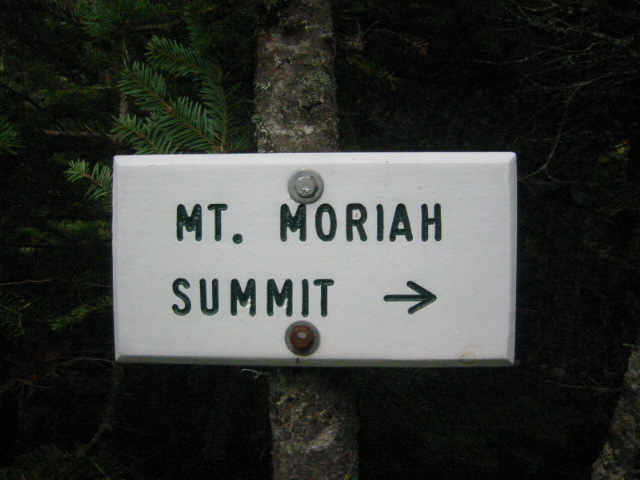
The White Mountains are a rugged mountain range in northern New Hampshire (with a small portion in western Maine). They’re among the most iconic and popular hiking, skiing, and sightseeing destinations in the northeastern U.S. The Whites are managed by the Appalachian Mountain Club and have over 1,200 miles of trails including the well known Appalachian Trail. Mount Moriah is one of the New Hampshire 4,000-footers and it is most commonly hiked via the Carter–Moriah Trail or the Stony Brook Trail. The summit is located on the A.T. in New Hampshire and it is a well-known peak in the Carter–Moriah Range of the White Mountains.
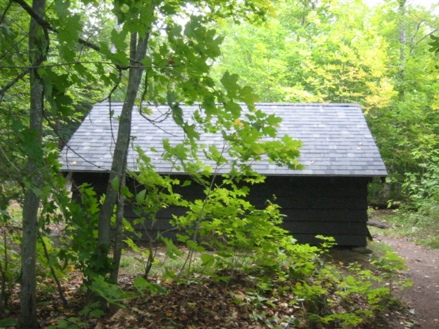
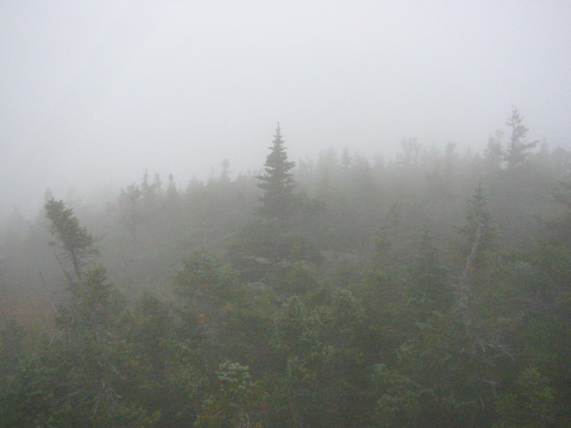
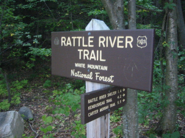
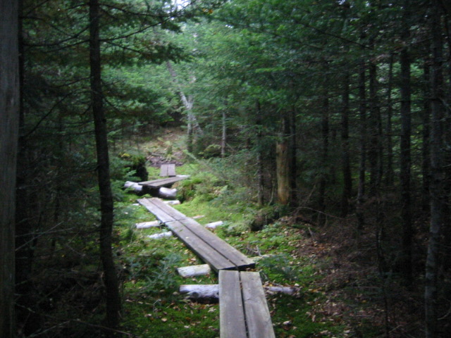
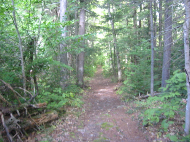
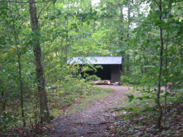
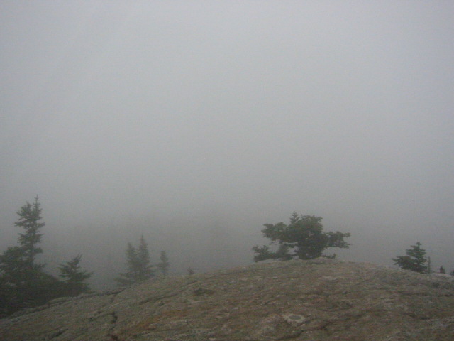
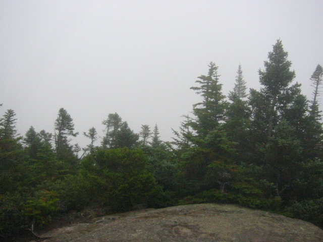
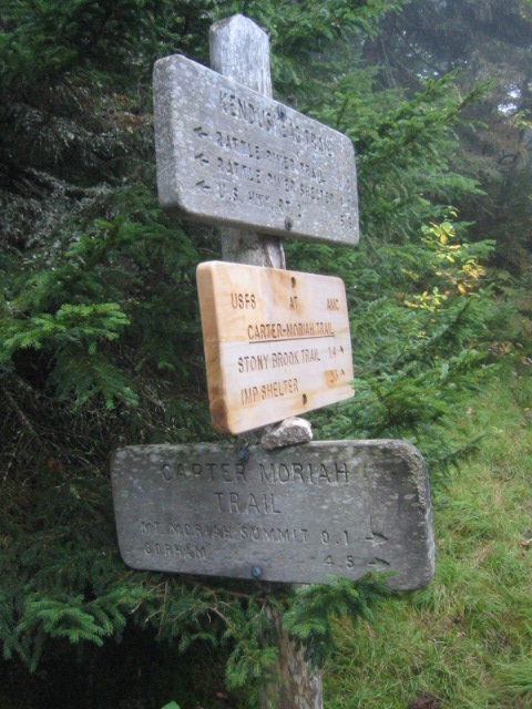
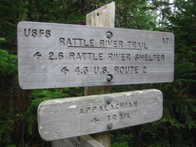
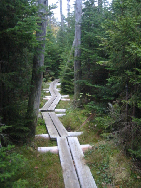
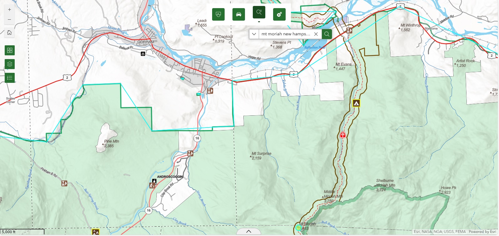
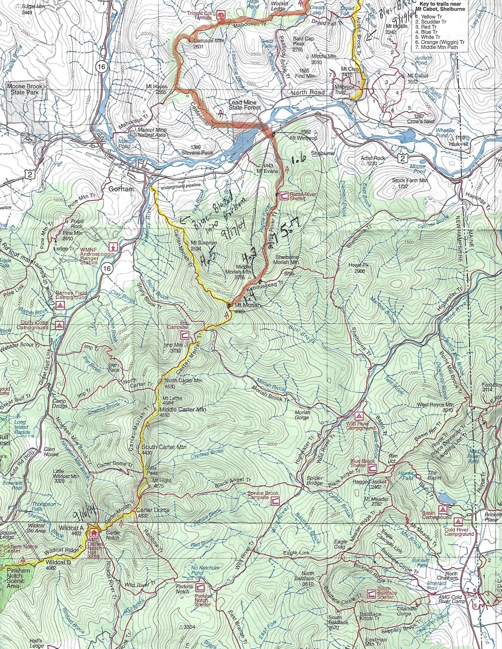
This 5.7 mile hike follows the Appalachian Trail to the summit of Mt. Moriah and back from US 2 outside of Gorham, NH. The first 1.6 miles to the Rattle River Shelter are fairly easy as the trail climbs gradually along the banks of the stream that bears the same name. From this point on, however, the trail ascends steeply and the trail is rocky and challenging at times. Mt. Moriah is reached via the Carter-Moriah Trail just 0.1 miles off the Appalachian Trail. The views can be outstanding from here on a clear day. On this hike, I backtracked to US 2 from Mt. Moriah and did a nearly 12 mile day hike. Gorham is just north of here, and it is the final re-supply point before entering the Mahoosuc Range at the New Hampshire /Maine border.
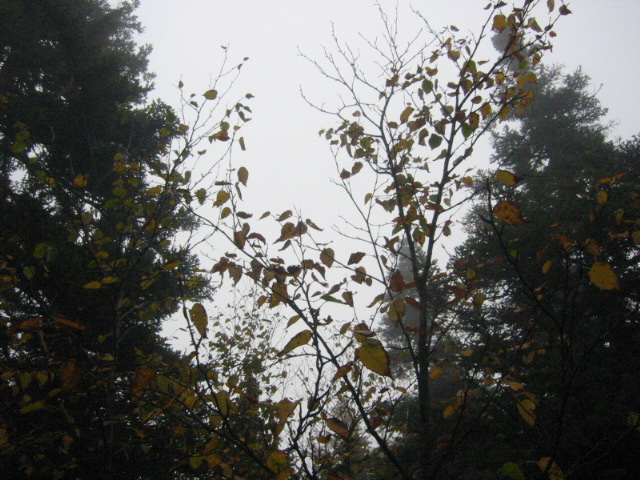
- click for a video from Mt. Moriah on a windy, gray, and cool fall day: September 23, 2005
- click for a trip report of this hike on the Appalachian Trail: September 23, 2005 (password required)
- click for a trail map from Pinkham Notch to Gorham, NH
- click for a topo and profile map from this hike on the Carter-Morrah Trail (password required)
- click for a map of the Appalachian Trail in New Hampshire (password required)
- click for a trail map of the entire ~2200 mile Appalachian Trail
- click for more information on the Appalachian Trail
- click for Appalachian Trail hiking and backpacking books
- click to purchase the guidebook Appalachian Trail: New Hampshire – Vermont
- click for a hike to the nearby Gentian Pond on the A.T.
- click for New Hampshire hiking and backpacking books
- click for more hiking & backpacking trips in the State of New Hampshire