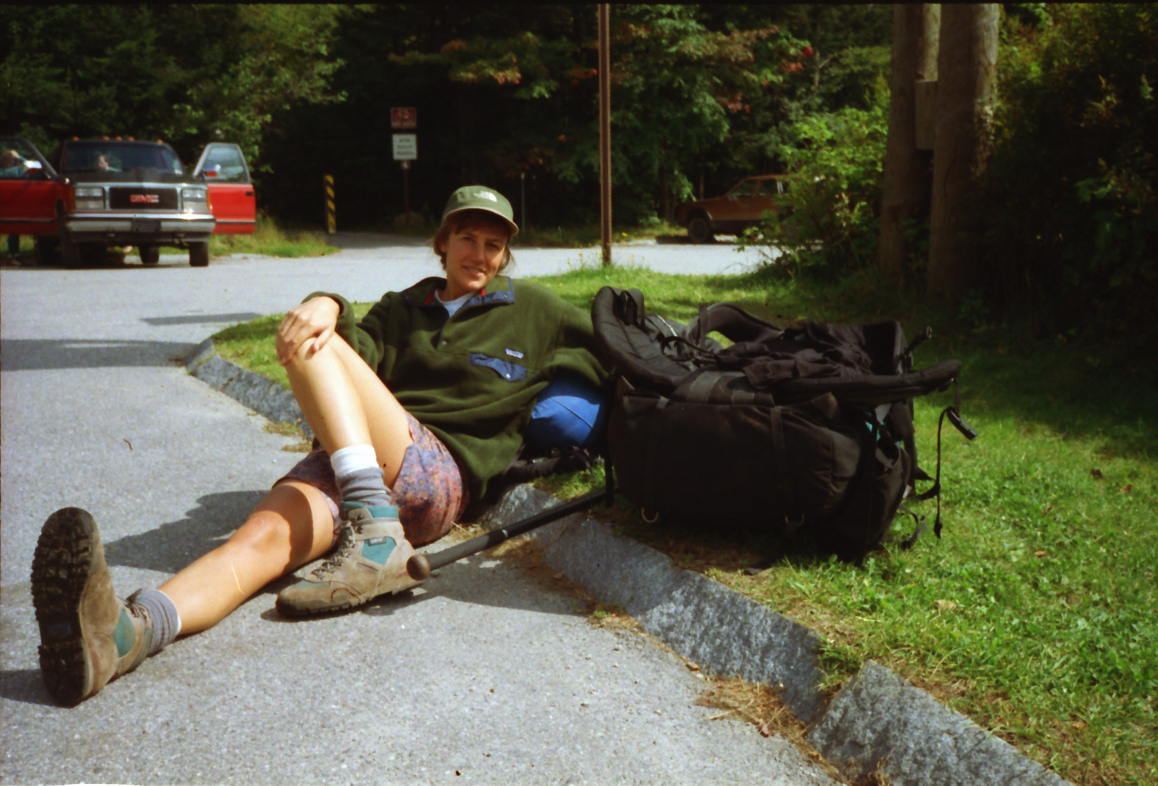
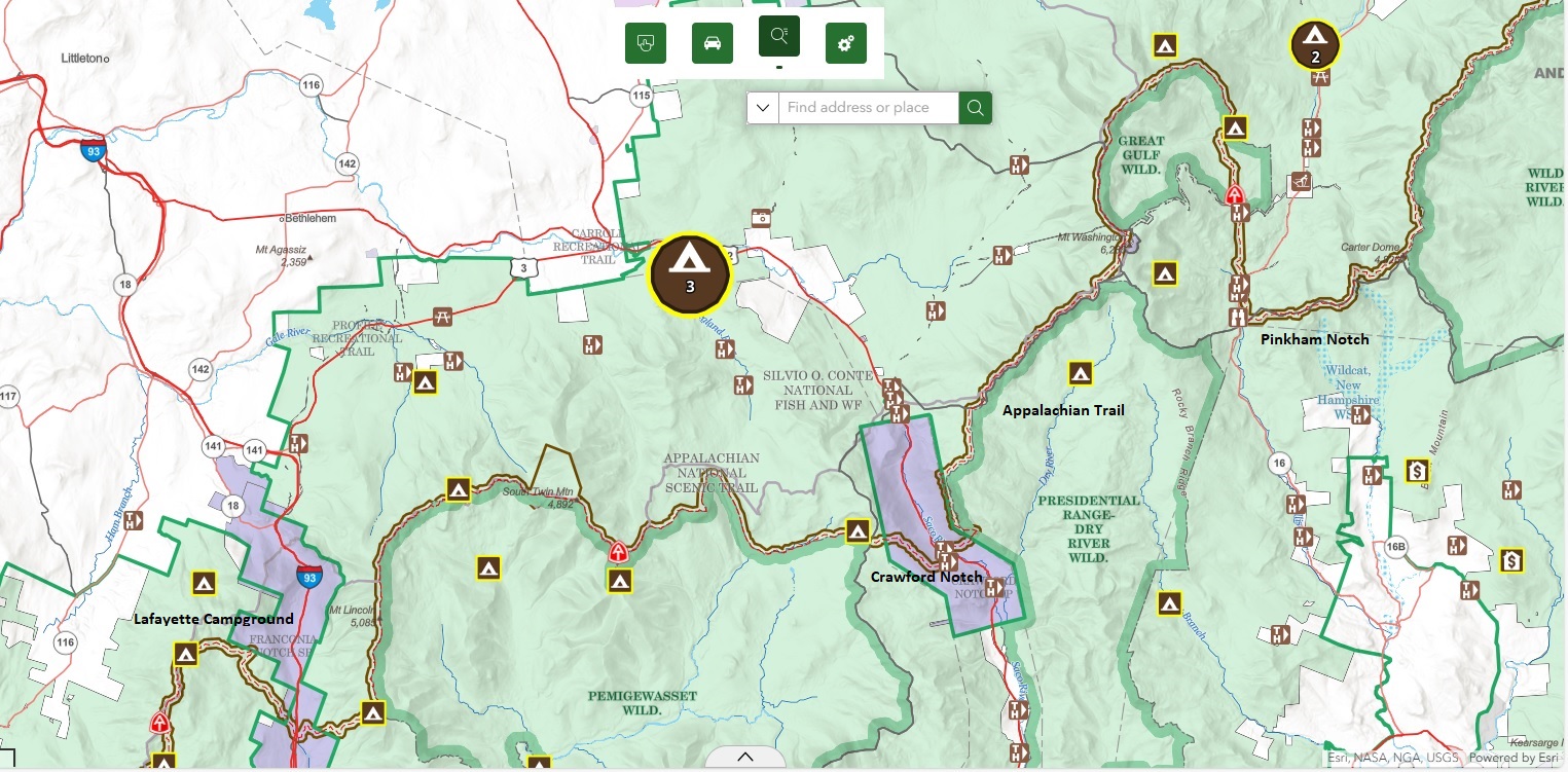
Appalachian Trail #5 (Lafayette Campground to Pinkham Notch)
Appalachian Trail Conservancy
799 West Washington Street
Harpers Ferry, WV 25425
(304) 535-6331
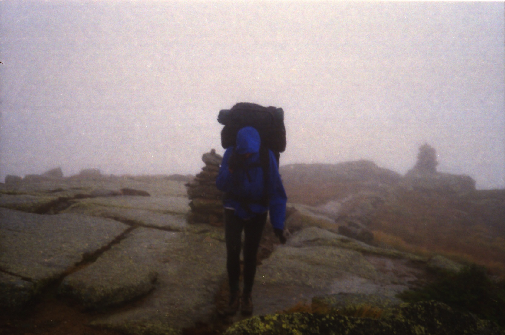
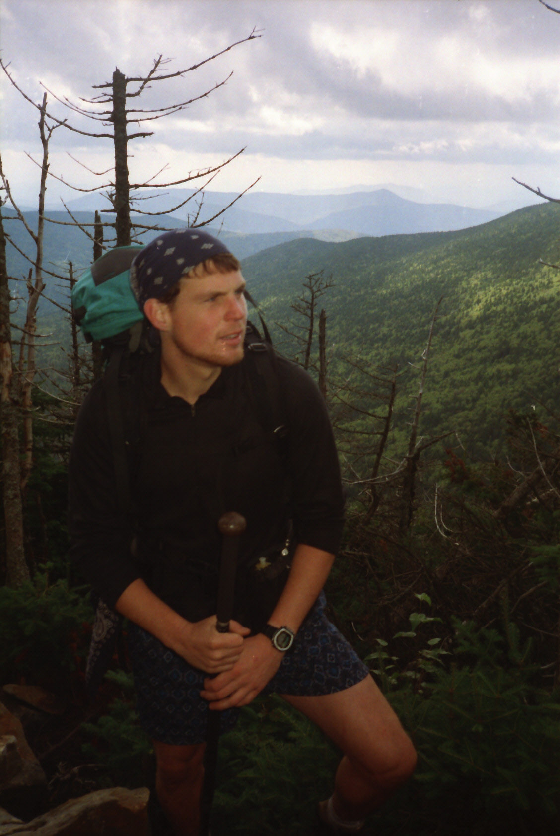
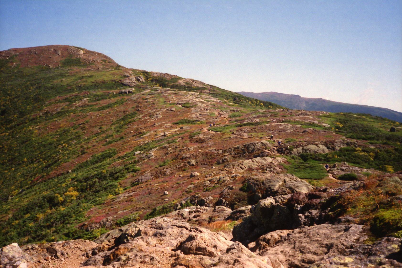
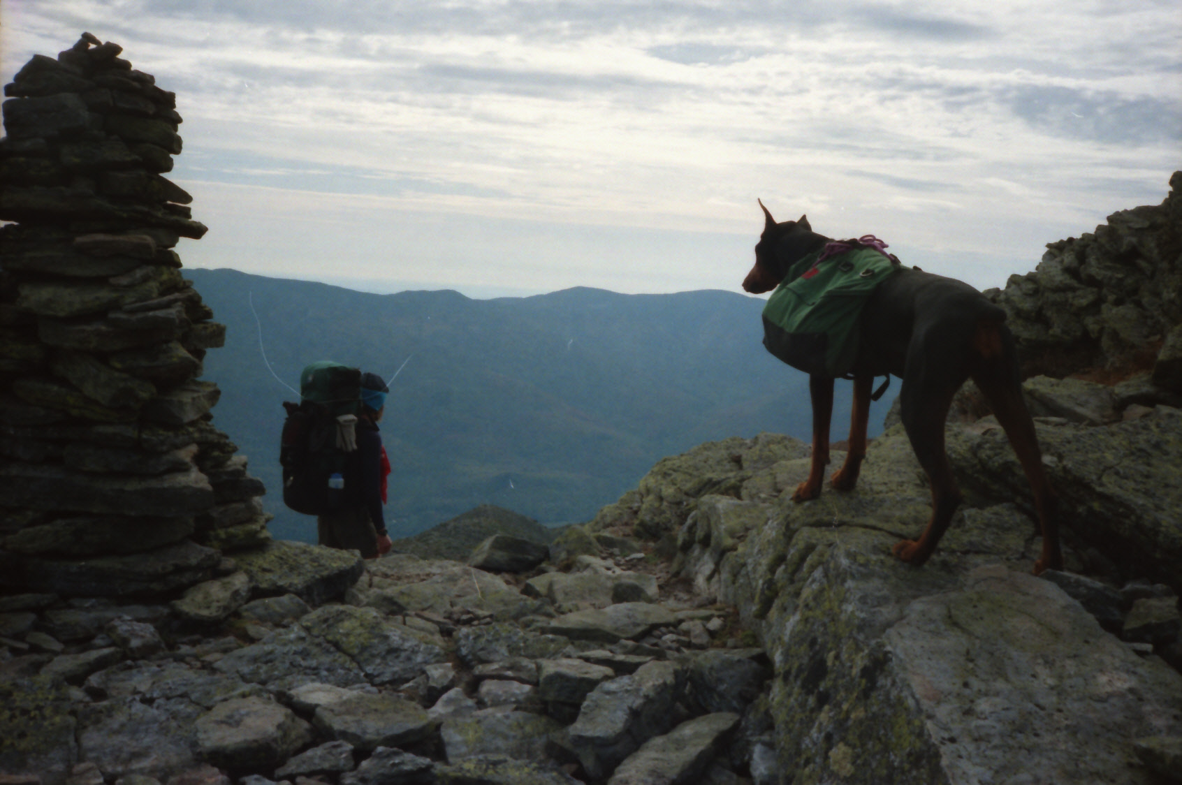
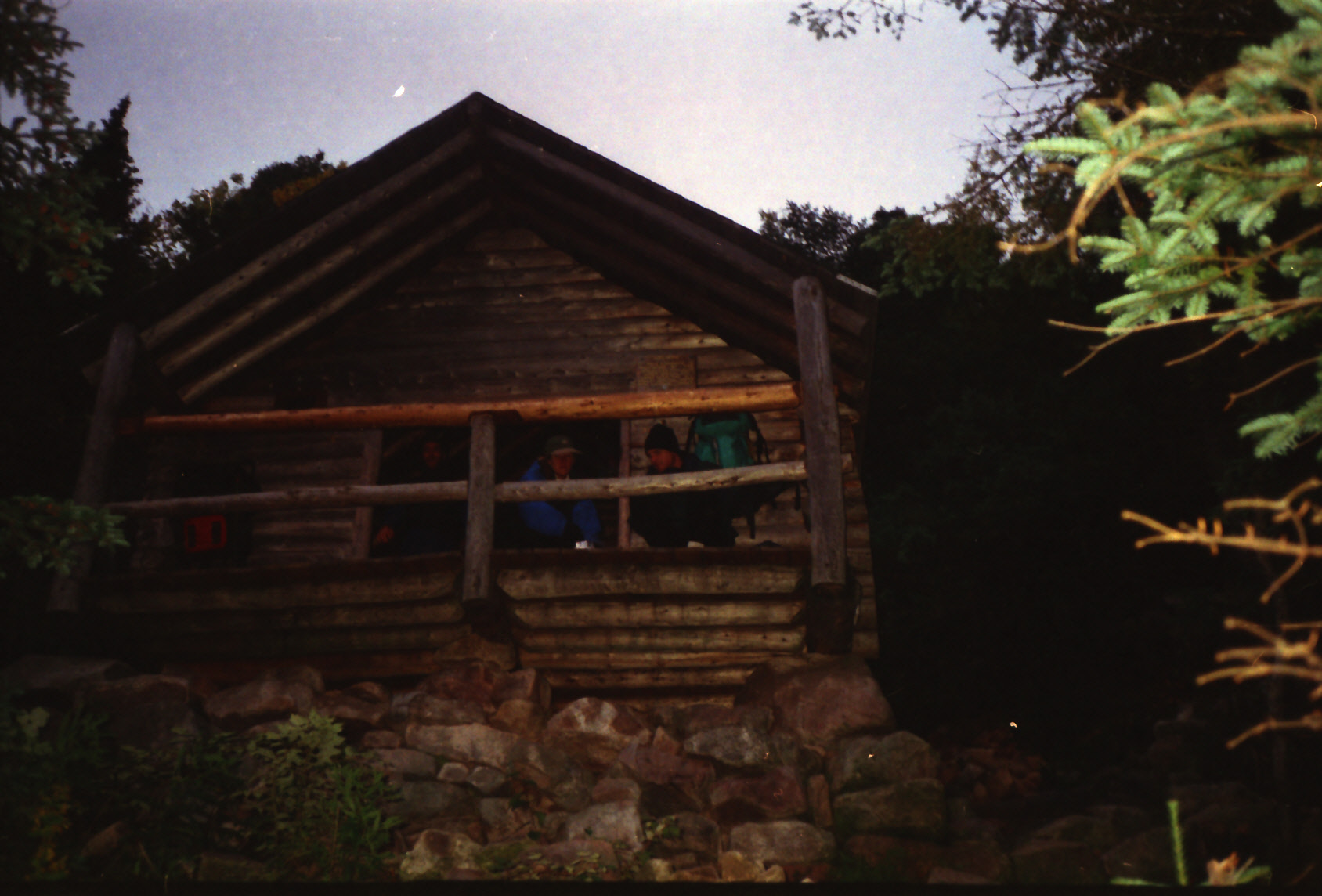
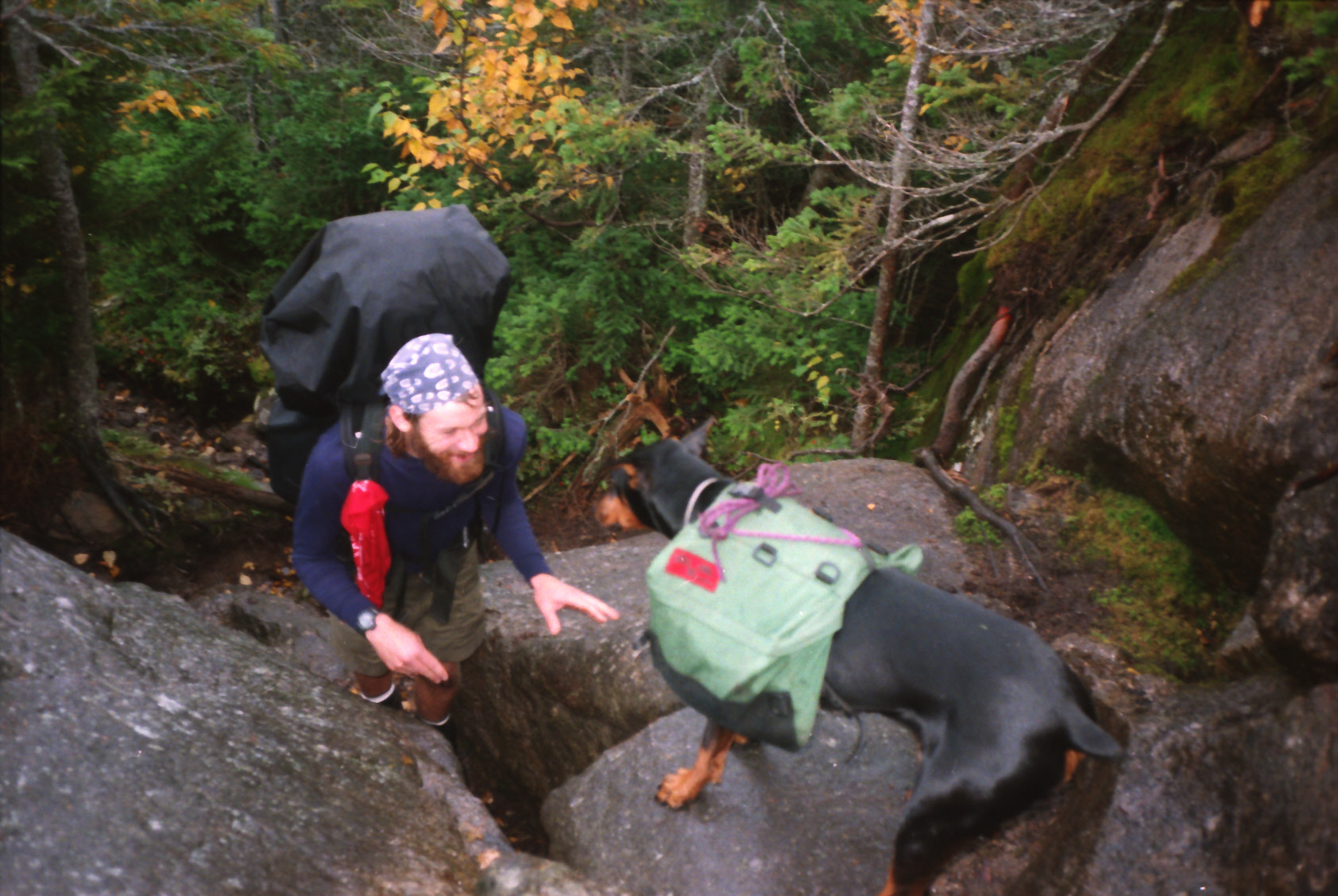
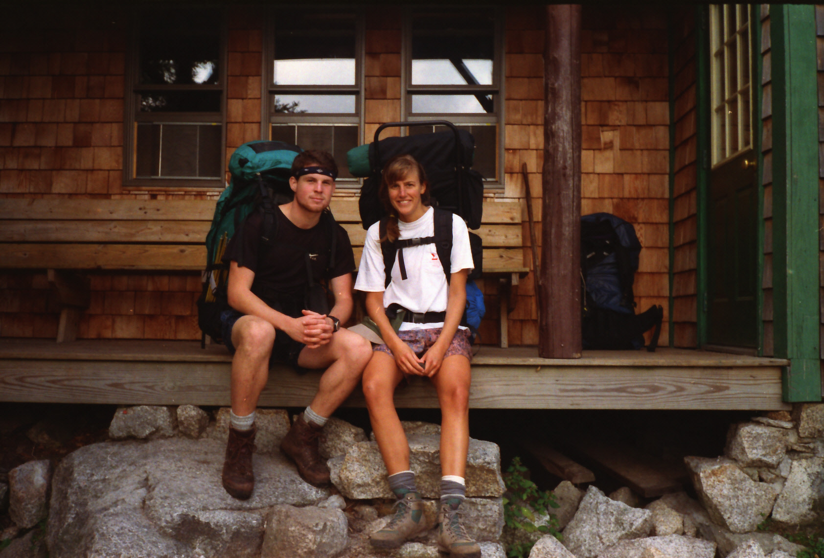
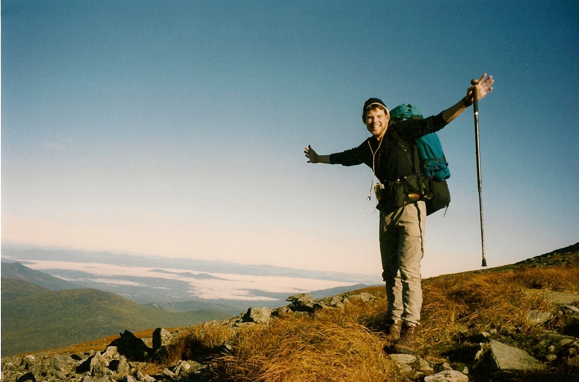
This Appalachian Trail section from Lafayette Campground in Franconia Notch to Pinkham Notch is one of the most rugged and celebrated stretches of the entire trail. It runs across much of New Hampshire’s White Mountains and includes some of the most famous high alpine ridges in the eastern U.S. Franconia Ridge includes Little Haystack (4,760′), Lincoln (5,089′), Lafayette (5,249′), Garfield (4,488′), South Twin (4,902′) and Guyot (4,560′). All summits are above tree line which is roughly 4,000 feet in the Whites, but Liberty (4,459′) is not directly on Franconia Ridge. A side trail takes you a short distance from the A.T. to the summit. On this hike, we were chased off Franconia Ridge by a wicked storm which had rain, sleet, fog, and 60 mph winds. We bailed to the Greenleaf Hut, 1.1 miles down a side trail from the summit of Mt. Lafayette (5,249 feet). This side trail eventually meets up with Lafayette Campground, where this section starts. The northbound hiker will miss parts of Franconia Ridge with this route and it is unfortunate because the ridge is one of the most scenic sections on the entire Appalachian Trail.
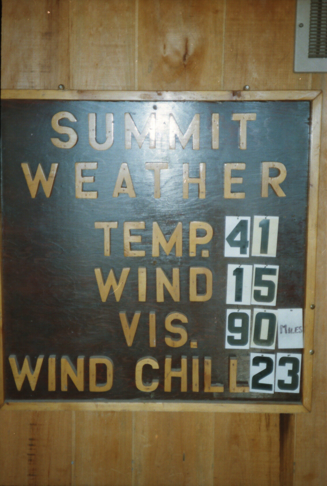
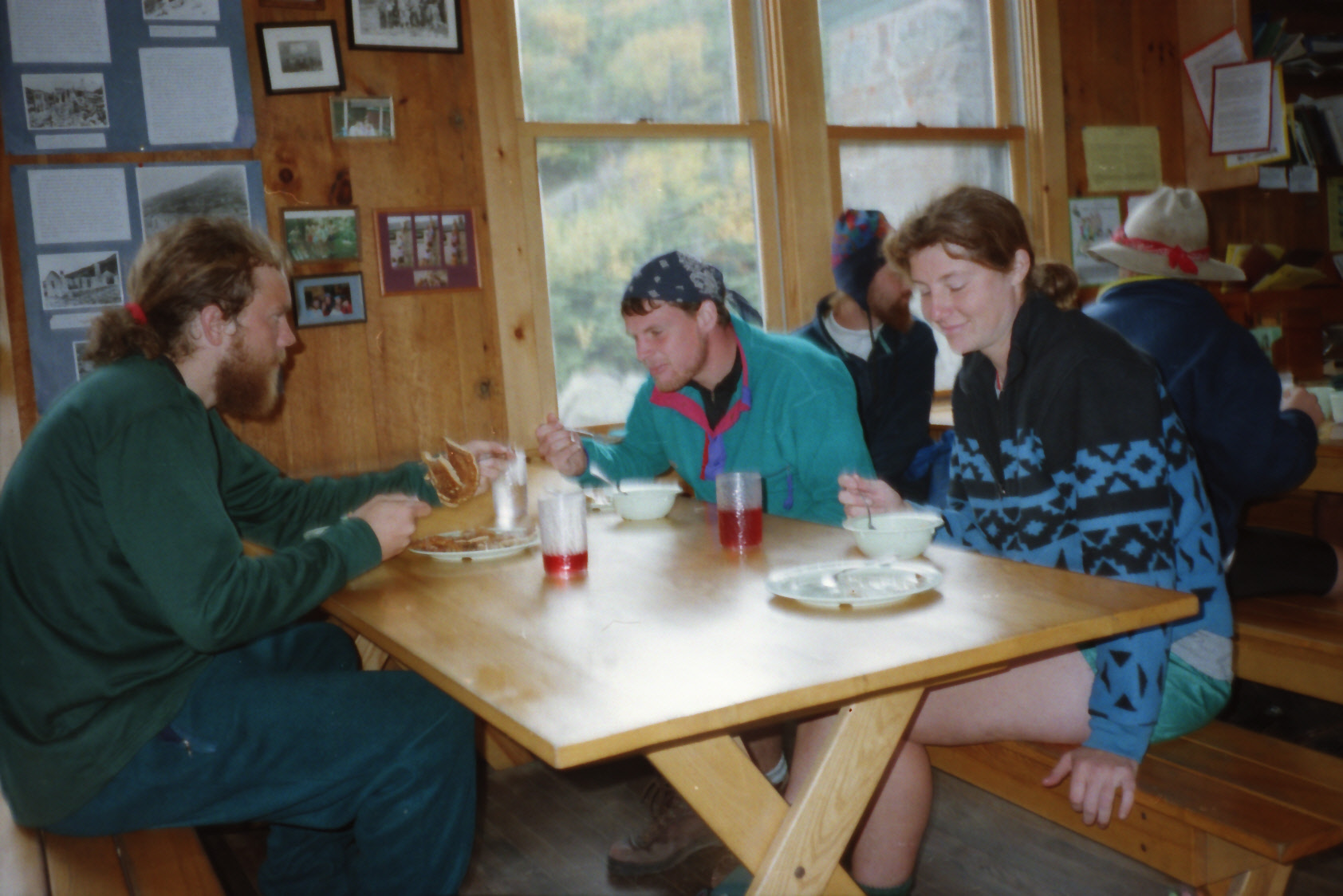
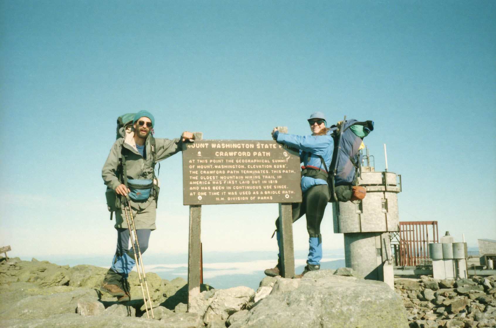
At Crawford Notch, the Appalachian Trail enters the Presidential Range, a twenty-five mile section between Crawford and Pinkham Notch. Like Franconia Ridge, it is mostly above tree line and includes the peaks of Mt. Webster (3,910′), Mt. Jackson (4,052′), Mt. Pierce (4,310′), Mt. Eisenhower (4,761′), Mt. Franklin (5,004′), Mt. Washington (6,288′) and Mt. Madison (5,363′). If weather permits, the views from both Franconia Ridge and the Presidential Range are some of the most spectacular on the Trail. Mt. Washington, the highest peak in New England, was once the proposed northern terminus of the Appalachian Trail, but now it has the distinction of having recorded the highest wind speed on Earth. In 1934, winds hit 231 mph on the summit. Today there is a weather station that still operates on the mountain and nearby is a Summit House with post office, museum, cafeteria, and gift shop. The Cog Railway also is a common site on the summit as it transports visitors from the valley to the summit of Mt. Washington. The trail from Mt. Washington drops over 4000 feet past Mt. Madison, the Madison Springs Hut, the Osgood Tentsite, and finally reaches Pinkham Notch at around 2000 feet. The notch is located on NH 16 and it is AMC’s headquarters in the Whites. It is open year-round, and has a full service lodge, cafeteria, store, and showers.
- click for a short video slideshow of my 1994 thru-hike on the Appalachian Trail
- click for more photos from this hike on the A.T. in New Hampshire: September 9-16, 1994
- click for a Daytimer report from this section of the A.T. in New Hampshire (password required)
- click for a trail journal from my A.T. thru-hike in New Hampshire: September 9-16, 1994
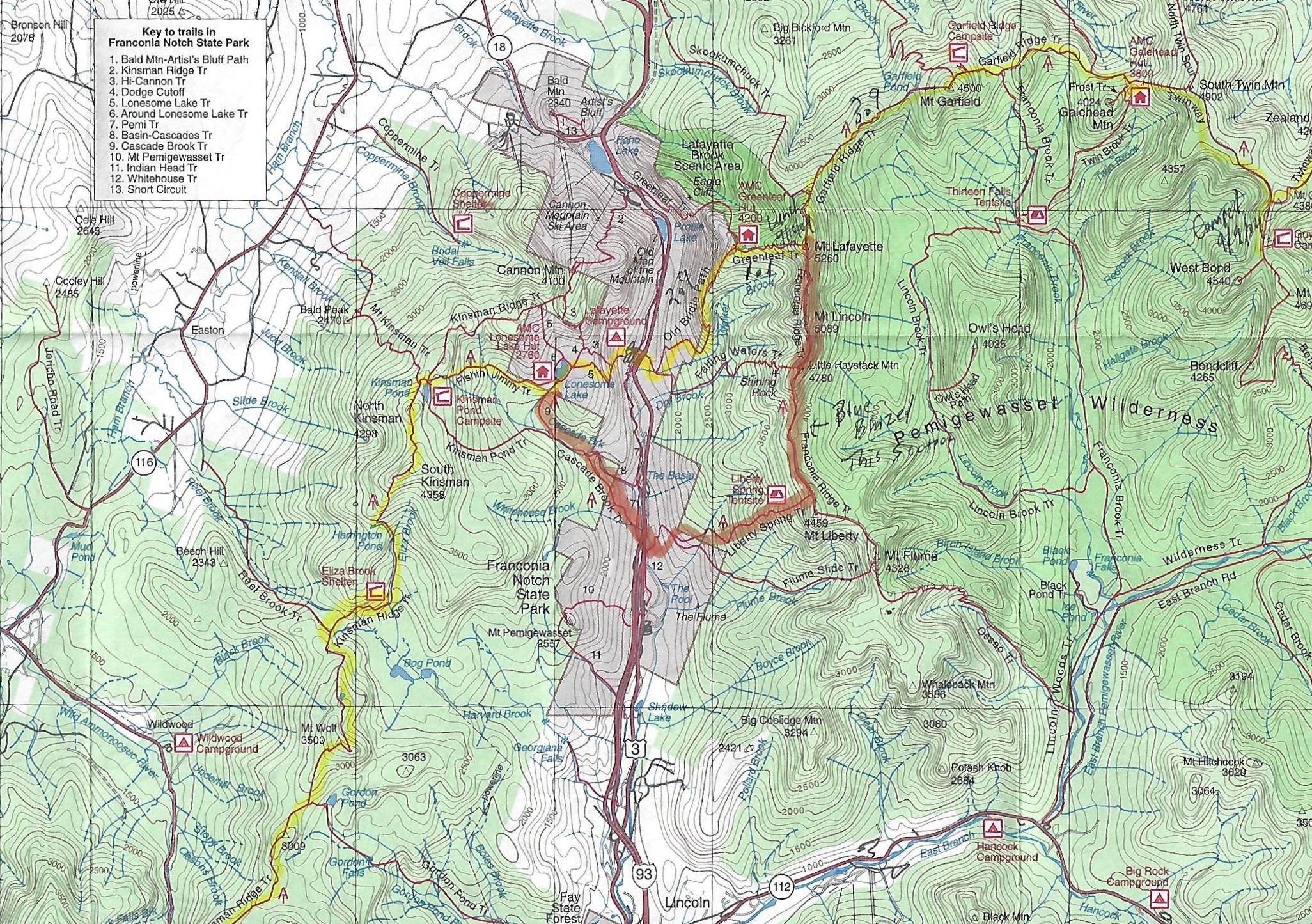
- click for a trail map from Lafayette Campground to Pinkham Notch
- click for a trail map from Kinsman Notch to Galehead Hut
- click for a map of the Appalachian Trail in New Hampshire (password protected)
- click for a trail map of the entire ~2200 mile Appalachian Trail
- click for more information on the Appalachian Trail
- click for Appalachian Trail hiking and backpacking books
- click to purchase the guidebook Appalachian Trail: New Hampshire – Vermont
- click for New Hampshire hiking and backpacking books
- click for more hiking & backpacking trips in the State of New Hampshire