Appalachian Trail #1 (CT/MA Border to US 7)
Appalachian Trail Conservancy
799 West Washington Street
Harpers Ferry, WV 25425
(304) 535-6331

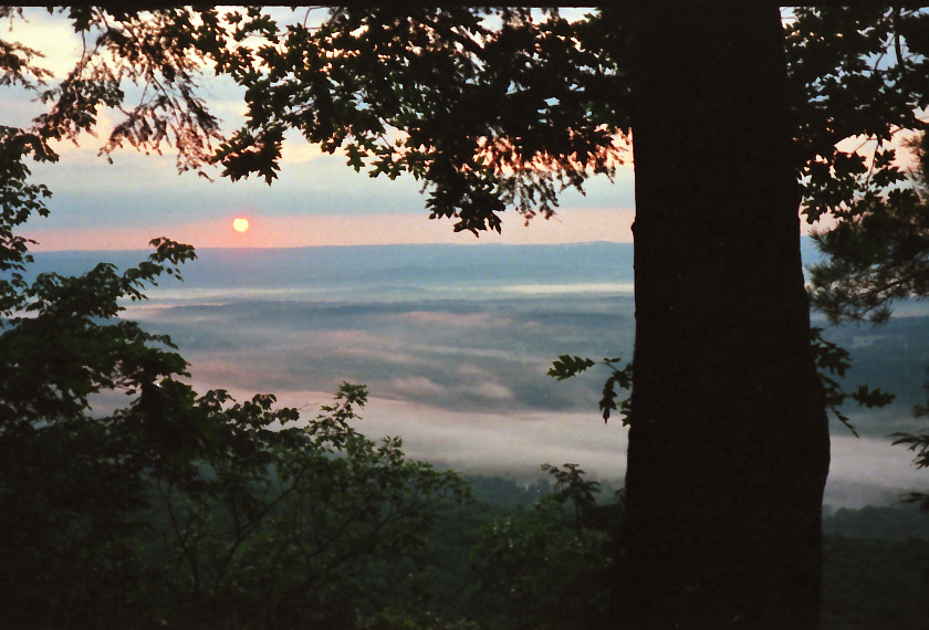
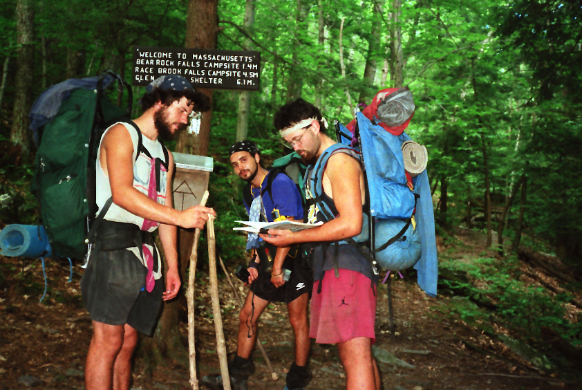
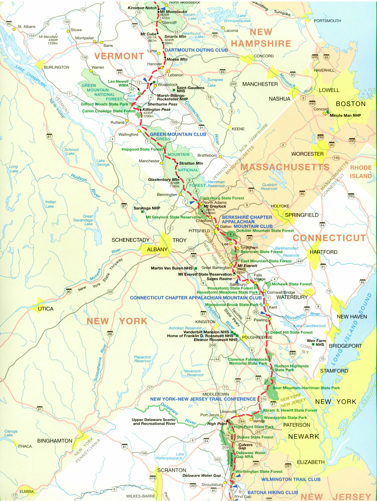
The Appalachian Trail from the Connecticut–Massachusetts border to Sheffield, Massachusetts is a gentle and scenic introduction to the Berkshires, covering roughly 20 miles through rolling farmland, hardwood forests, and quiet rural landscapes. After crossing into Massachusetts near Sages Ravine, the trail immediately passes through this dramatic limestone gorge, where stone steps, waterfalls, and mossy rock walls create one of the most picturesque spots in southern New England. North of the ravine, the trail climbs steadily but moderately through Mount Washington State Forest, traversing wooded ridgelines and peaceful forest corridors that feel remote despite the relatively low elevations ranging 650 to 3,491 feet. Race Mountain and Mt. Everett (2,602 feet) have dramatic views, and there is a fire tower on Everett (but it is closed to the public).
As the trail approaches US 7 outside of Sheffield, it descends from the forested highlands into open valleys marked by historic New England character. Hikers pass stone walls, open meadows, and views toward the Taconic Range before reaching the outskirts of town. This section is known for its well-maintained treadway, abundant water sources, and quiet beauty rather than dramatic peaks, making it popular with both thru-hikers easing into Massachusetts and section hikers seeking a relaxed but rewarding walk. Sheffield itself serves as a welcoming trail town, offering services, road access, and a strong sense of Appalachian Trail heritage.
- click for a short video slideshow of my 1994 hike on the Appalachian Trail
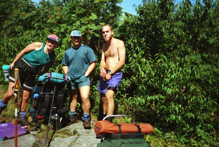
- click for more photos from the Appalachian Trail in Massachusetts: August 15-16, 1994
- click for a Daytimer report from this section of the A.T. near Sheffield (password required)
- click for a journal entry from this hike in Massachusetts: August 15-16, 1994 (password required)
- click for a day-by-day summary of BirdShooter’s 1994 Appalachian Trail thru-hike
- click for a map of the Appalachian Trail in Connecticut & Massachusetts (password protected)
- click for a trail map of the entire ~2200 mile Appalachian Trail
- click for a hike from Sheffield to Upper Goose Pond in June 1996
- click for more information on the Appalachian Trail
- click for Appalachian Trail hiking and backpacking books
- click for more hikes in the State of Massachusetts