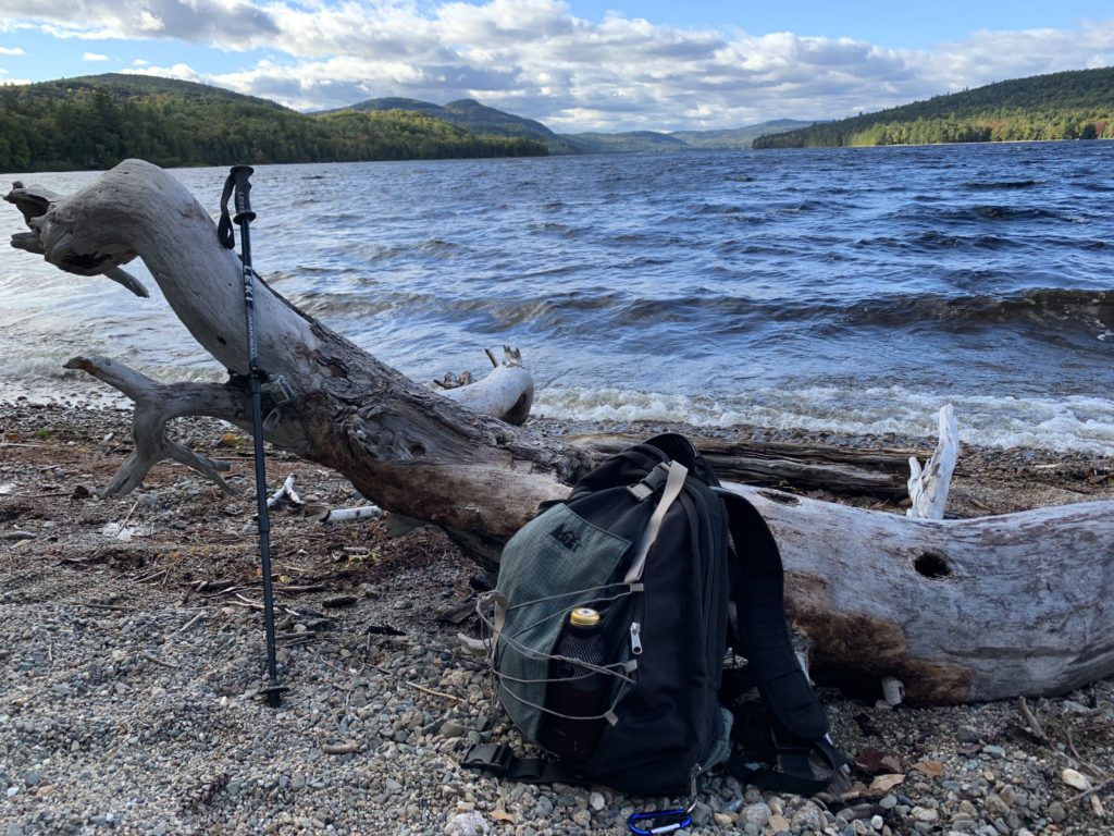
Nahmakanta Lake
Maine Bureau of Parks & Lands
18 Elkins Lane
Augusta, ME 04333
(207) 287-3821
Nahmakanta Lake is the source of Nahmakanta Stream which flows four miles to the Pemadumcook Lakes. The Appalachian Trail follows the Nahmakanta Stream and the southwest shore of Nahmakanta Lake for a few miles – passing through a designated campsite on the south shore and the Wadleigh Lean-To further north. Most of the forests around Nahmakanta have been harvested several times – including just prior to the State’s acquisition in 1990. Access to this area is via logging routes and fees are paid at a gate about an hour South prior to entry.
This area is known to thru-hikers as the 100 Mile Wilderness since it is the last 100 miles of Appalachian Trail for northbound backpackers. On this trip, we hiked to a small beach on the south shore of Nahmakanta Lake, then returned to a designated camping area with picnic tables, privies, and fire rings. There is access to this campsite for kayaks, canoes, and small boats so it is popular with locals in the summer months.
- click for a video of this hiking and backpacking trip in Maine
- click to see trail photos from this section of the Appalachian Trail at Nahmakanta Lake: September 23, 2022 (password required)
- click to view a trip report from this hike in the 100 Mile Wilderness: September 23, 2022 (password required)
- click to view maps of the Appalachian Trail in Maine: Area Map, Katahdin to Nahamakanta Lake Trail & Profile Map
- clikc for Nahamakanta Lake to West Branch Pleasant River Trail & Profile Map ( password required)
- click to view a Nahamakanta Trail Map
- click for more information on the Appalachian Trail
- click for Appalachian Trail hiking and backpacking books
- click to access the guidebook Appalachian Trail: Maine which has details on this destination
- click for other Maine hiking and backpacking books
