Daicey Pond
Baxter State Park
64 Balsam Drive
Millinocket, ME 04462
207-723-5140
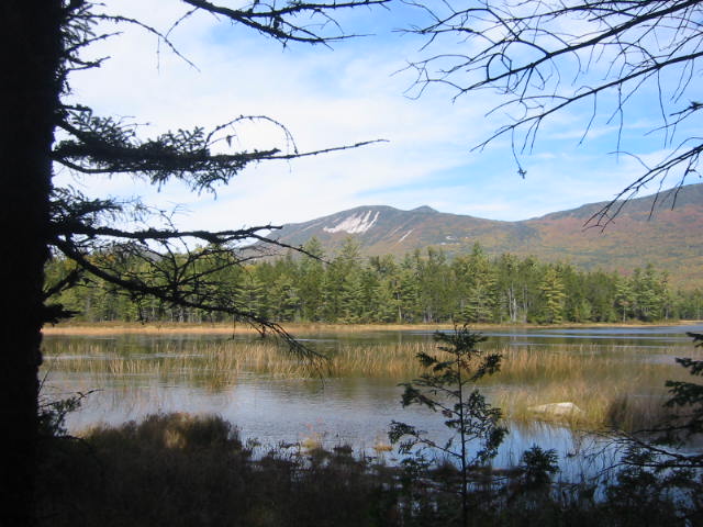
Baxter State Park was a gift to the State of Maine by former Governor Percival P. Baxter who held office from 1921-1924. The wilderness and forest area now encompasses over 200,000 acres, and there are over 200 miles of trails in the park. This hike begins at the Appalachian Trail parking area near Daicey Pond and follows the A.T. northbound for 0.5 miles to the blue blazed Grassy Pond Trail. Here the route breaks from the A.T. and winds along the banks of Daicey Pond which has a ranger station, library and some cabins that are seen across the lake.
At roughly 1105 feet, the Grassy Pond Trail leaves Daicey and climbs a small ridge to Grassy Pond. There is a short side trail that leaves the main loop and takes you to the shore, or you can continue on the blue blazed route and hike over another ridge and descend back down to the A.T. at Elbow Pond (which follows the A.T. southbound for 1.2 miles back to the parking area.) This is a pleasant loop hike through a fir forest with some nice views of Katahdin from Daicey Pond. It’s fairly easy and can be hiked in under two hours.
- click to see photos from this hike around Daicey Pond in Baxter State Park: October 2, 2004
- click for a detailed trip report of this hike in Baxter State Park: October 2, 2004 (password required)
- click for a trip report of this hike near Katahdin Stream Campground: October 2, 2004 (password required)
- click for a park map of Baxter State Park near Millinocket, Maine
- click for a topographical map of trails leading to the peak of Mt. Katahdin
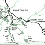
- click for a trail map of the hiking trails around Daicey Pond and Mt. Katahdin
- click for a topo and profile map of this A.T. section from Nahamakanta Lake to Mt. Katahdin (password required)
- click for another hike in this area at Katahdin Stream Falls on October 1
- click for a map of the Appalachian Trail in New England (password required)
- click to view a complete photo gallery for my A.T. thru-hike through Maine: September 19-October 2, 1994
- click for a trail journal from the Appalachian Trail in Maine: September-October, 1994
- click for more information on the Appalachian Trail
- click to access the guidebook Appalachian Trail: Maine which has details on this destination
- click for other Maine hiking and backpacking books


