Appalachian Trail #10 (Monson to Mt. Katahdin)
Appalachian Trail Conservancy
799 West Washington Street
Harpers Ferry, WV 25425
(304) 535-6331

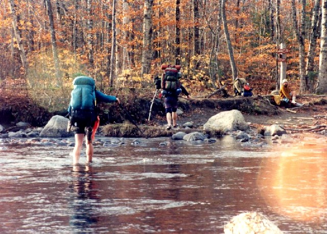
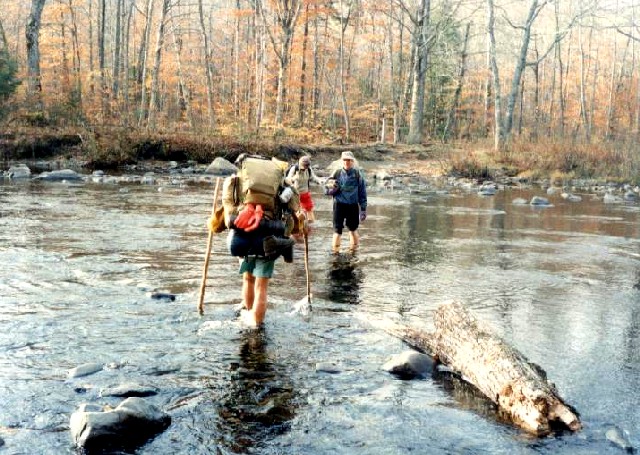
The 282 miles of the Appalachian Trail in Maine is generally considered the most difficult of the fourteen states that the A.T. traverses. While the elevations seldom top 4,000 feet , the terrain is often difficult and there are frequent rock scrambles through very rugged terrain. The hiking season in Maine is typically from late May to early October. Snow can linger on higher peaks into June, and weather can change rapidly. The Appalachian Trail Conservancy (ATC) does not recommend the Maine A.T. for novice hikers. There are limited bridges in the State due to the spring snowmelt and the streams on the trail require frequent fording. Slippery and sometimes hazardous weather can occur at any time, and the Maine A.T. is frequently remote to say the least. In some sections, don’t expect to hike more than a mile an hour and get used to steep ascents and descents. That said – the Maine A.T. has some of the most stunning and remote wilderness on the entire trail. It is often cited as a favorite State for many A.T. thru-hikers.
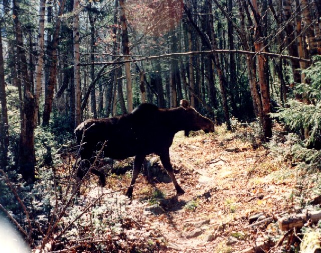
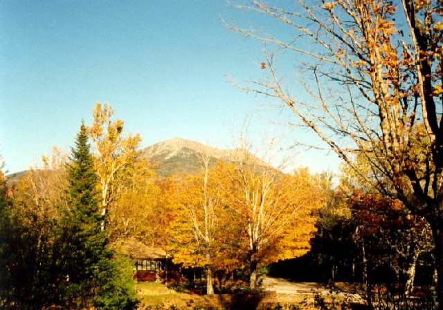
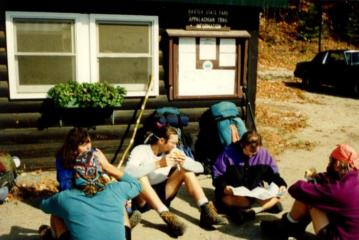
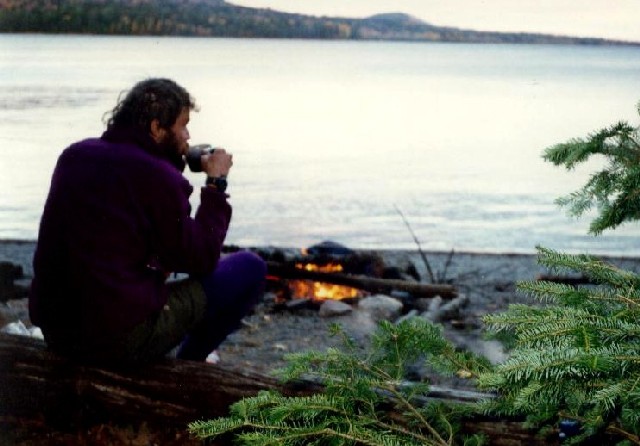
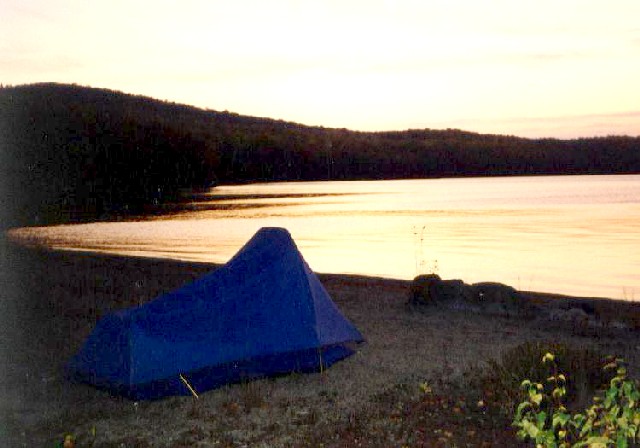
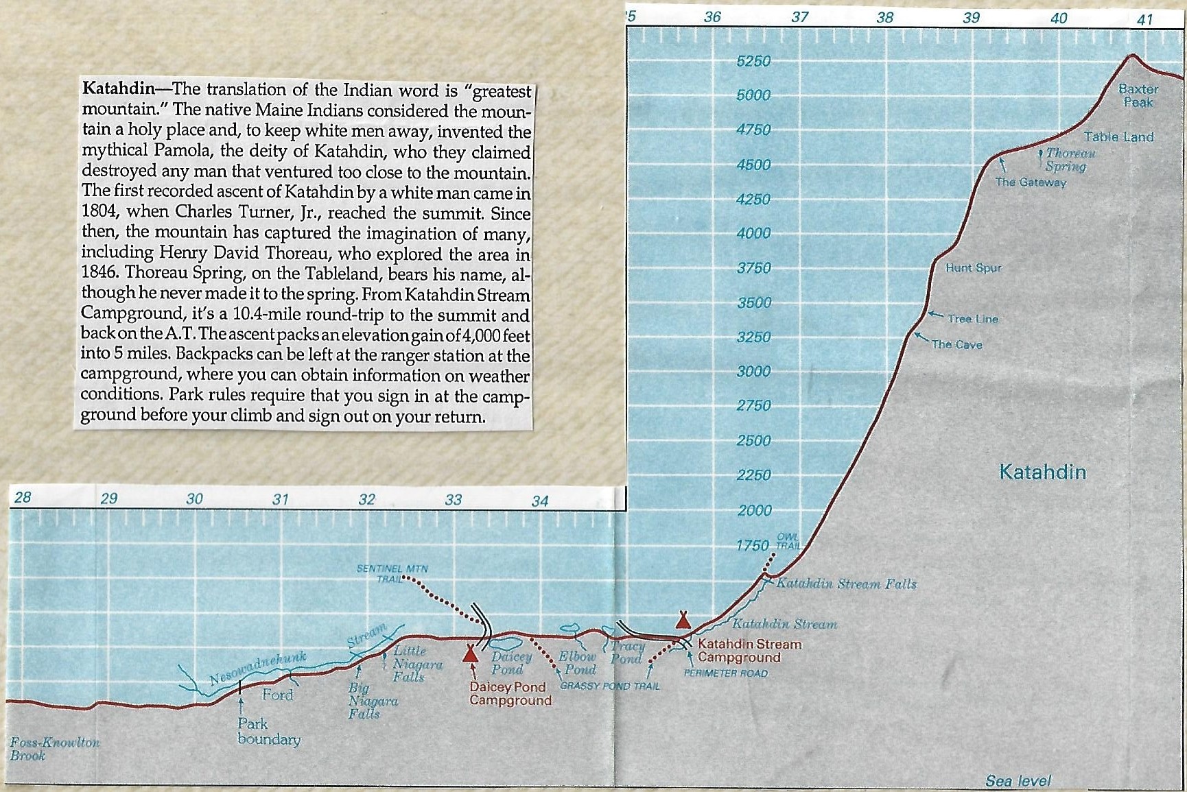
The hike from the Monson to Mount Katahdin is the final stretch of trail for northbound thru-hikers, and there are frequent rock scrambles and numerous river and stream crossings in this section. It is largely composed of the 100 Mile Wilderness, an area of remote forest that is intersected only by the occasional logging road. There are no services in the this section, but there is plenty of wildlife, especially moose. The numerous lakes also have a number of great campsites and all are fairly close to the trail. The Appalachian Trail Conference suggests you allow ten days to hike through the wilderness, although it is a bit easier than the southwestern section of trail in Maine. Abol Bridge is at the northern end of the wilderness and it is a welcome sight when you finish the 100 Mile Wilderness. There is a small store located here with snack foods and basic supplies and the views of Katahdin are excellent from this location. The last fifteen miles of the Appalachian Trail take you into Baxter State Park and up to the summit of Mount Katahdin at 5,267 feet. It’s 4000+ feet to the top of the mountain from the base at Katahdin Stream Campground, but the 5.2 mile climb is one of the most exciting for the northbound thru-hiker since it’s the northern terminus of the Appalachian Trail.
- click for a short video slideshow of my 1994 backpacking trip on the Appalachian Trail
- click for a complete photo gallery for my A.T. thru-hike through Maine: September 19-October 2, 1994
- click for a trail journal from the Appalachian Trail in Maine: September-October, 1994
- click for a Daytimer report from this section of the A.T. in Maine in October 1994 (password required)
- click for a map of the Appalachian Trail in New England (password protected)
- click for a topo and profile map of the A.T. from Nahamakanta Lake to Mt. Katahdin (password required)
- click for a topo and profile map of the A.T. from the West Branch Pleasant River to Nahamakanta Lake (password required)
- click for a topo and profile map of the A.T. from Monson to the West Branch Pleasant River (password required)
- click for a park map of Baxter State Park near Millinocket, Maine
- click for a topographical map of trails leading to the peak of Mt. Katahdin
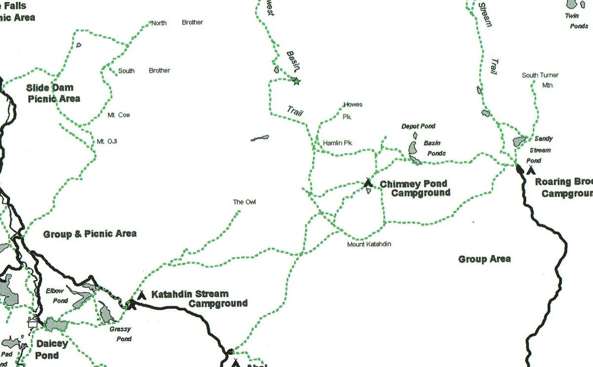
- click for a trail map of the hiking trails around Daicey Pond and Mt. Katahdin
- click for more information on the Appalachian Trail
- click to access the guidebook Appalachian Trail: Maine which has details on this destination