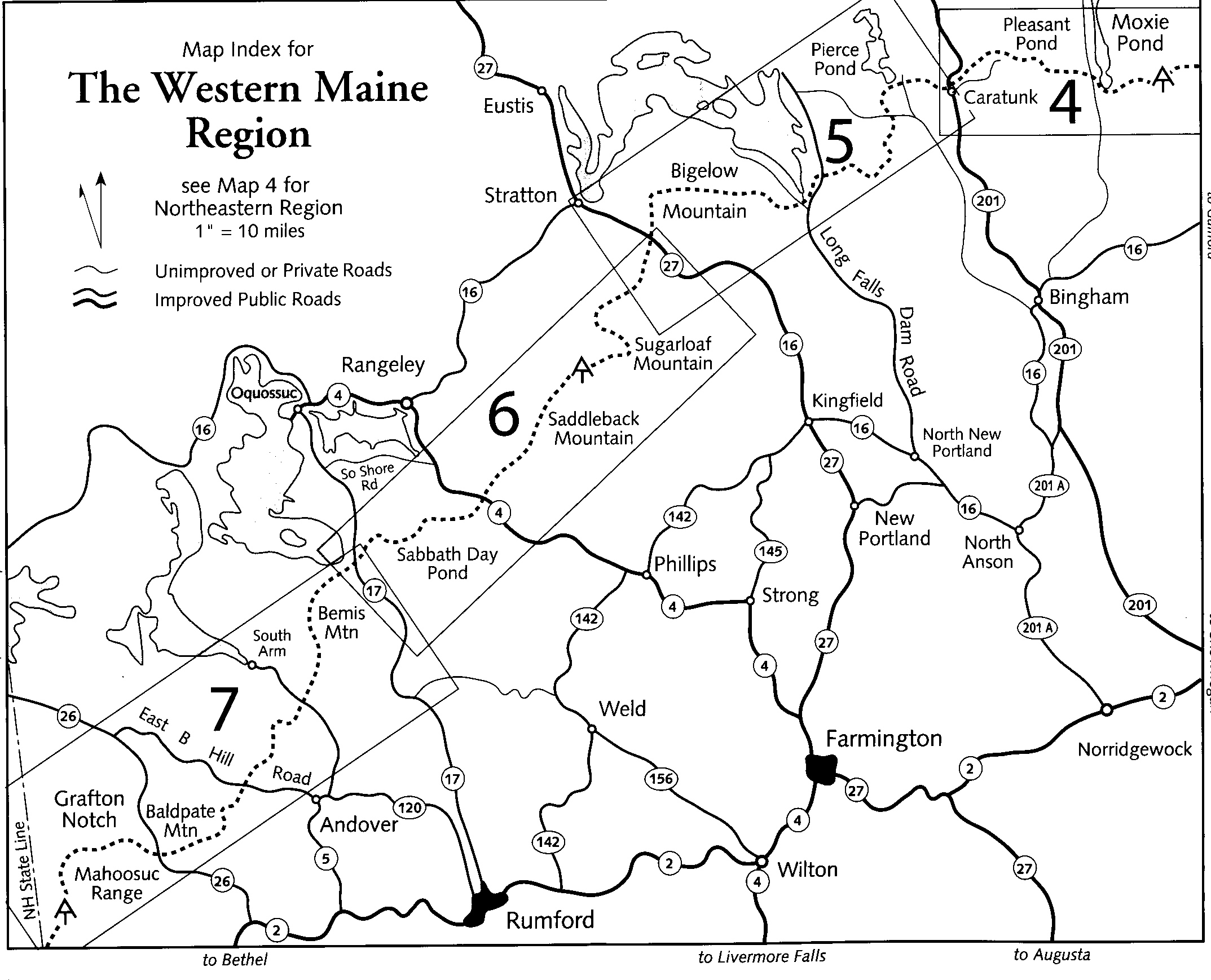
Appalachian Trail #6 (Stratton to Caratunk)
Appalachian Trail Conservancy
799 West Washington Street
Harpers Ferry, WV 25425
(304) 535-6331
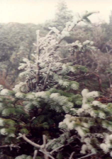
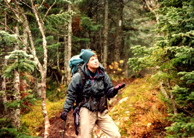
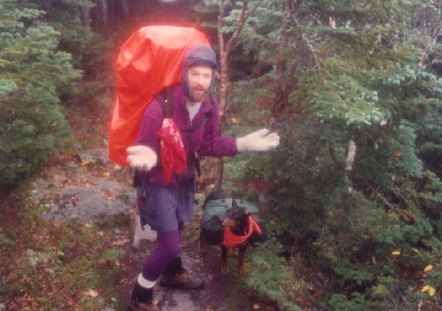
The 282 miles of the Appalachian Trail in Maine is generally considered the most difficult of the fourteen states that the A.T. traverses. While the elevations seldom top 4,000 feet , the terrain is often difficult and there are frequent rock scrambles through very rugged terrain. Even the Appalachian Trail Conservancy (ATC) does not recommend the Maine A.T. for novice hikers. There are limited bridges in the State due to the spring snowmelt and the streams on the trail require frequent fording. Slippery and sometimes hazardous weather can occur at any time, and the Maine A.T. is frequently remote to say the least. In some sections, don’t expect to hike more than a mile an hour and get used to steep ascents and descents. That said – the Maine A.T. has some of the most stunning and remote wilderness on the entire trail. It is often cited as a favorite State for many A.T. thru-hikers.
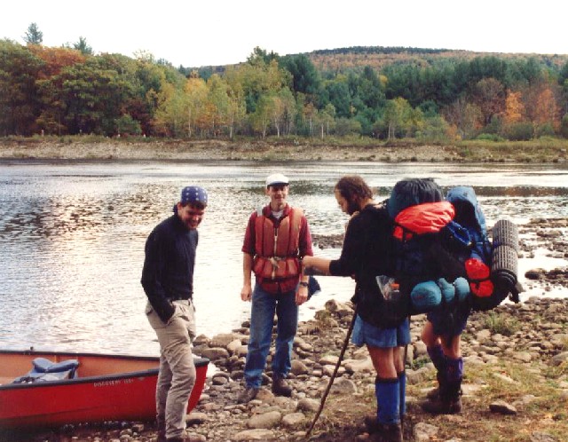
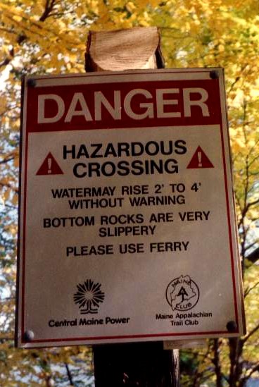
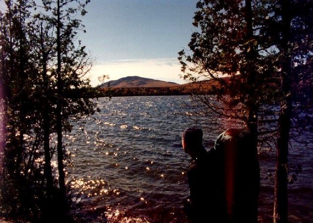
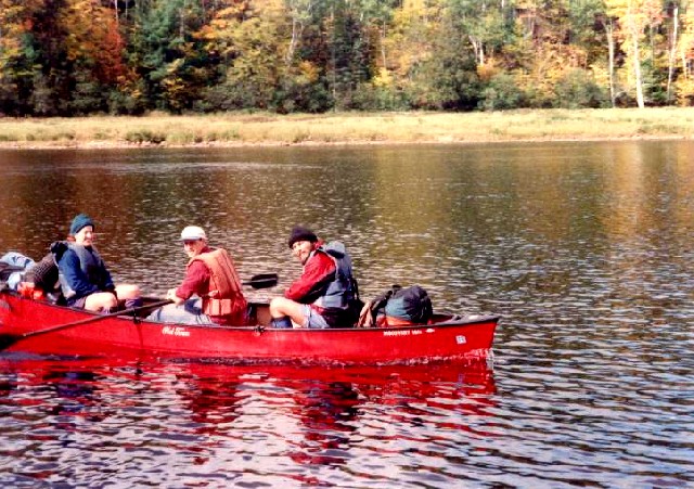
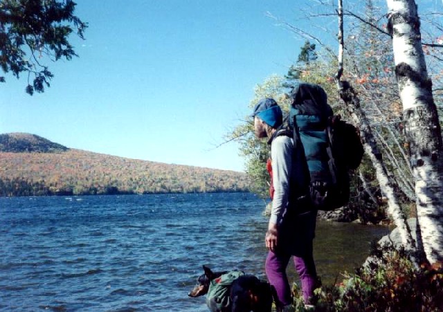
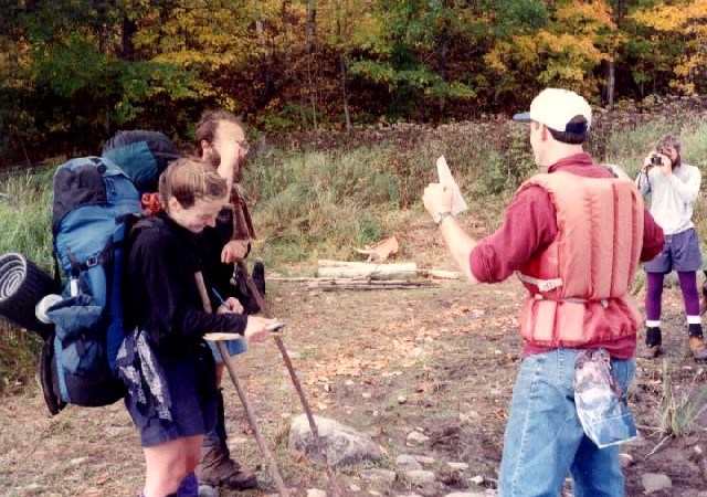
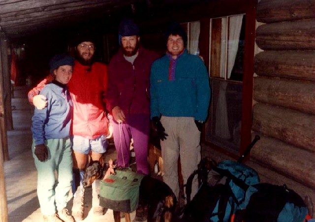
This section from Stratton to Caratuck features a climb over the Bigelow Peaks including West Peak (4,145 ft) and Avery Peak (4,088 ft). There are miles of trail above treeline in this area on arguably one of the most famous alpine ridges in Maine. It has panoramic views of Flagstaff Lake, Sugarloaf, and the surrounding Crocker mountains. The ridge walk is ~4.5 miles of strenuous but rewarding, but the A.T. gets easier as you hike the East & West Carry and Long Ponds. Caratunk is located on the Kennebec River and the crossing here is so dangerous that the Appalachian Trail Conservancy (ATC) has contracted for a part-time ferry service to assist hikers at designated hours from late May through mid-October during prime hiking season. Caratunk is a small village at the confluence of Kennebec River and Route 201 and it has a small grocery store, post office, inns, and shuttle services for hikers..
- click for a short video slideshow of my 1994 backpacking trip on the Appalachian Trail
- click for more photos from this section on the Appalachian Trail in Maine: September 19-October 2, 1994
- click for a detailed trail journal from the Appalachian Trail in Maine: September-October, 1994
- click for a Daytimer report from this section of the A.T. in Maine: September and October 1994 (password required)
- click for a trail map of this section of the Appalachian Trail from Stratton to Caratunk
- click for an ATC profile map of the Appalachian Trail at the Bigelow Range (password required)
- click for an ATC topo map from Long Falls Dam Road to the Kennebec River (password required)
- click for an ATC profile map from Long Falls Dam Road to the Kennebec River (password required)
- click for an ATC topo & profile map from ME 27 (Stratton) to the Kennebec River (password required)
- click for a map of the Appalachian Trail in New England (password required)
- click for more information on the Appalachian Trail
- click for Appalachian Trail hiking and backpacking books
- click to access the guidebook Appalachian Trail: Maine which has details on this destination
- click for other Maine hiking and backpacking books