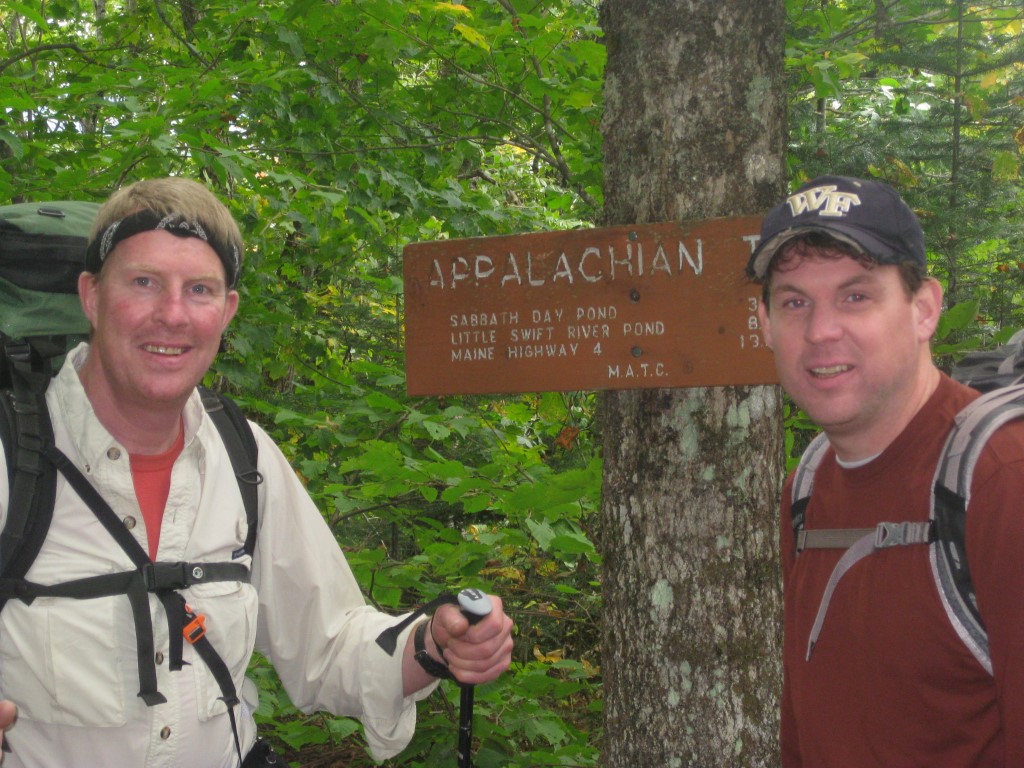
Appalachian Trail #2 (Sabbath Day Pond to Rangeley)
Appalachian Trail Conservancy
799 West Washington Street
Harpers Ferry, WV 25425
(304) 535-6331

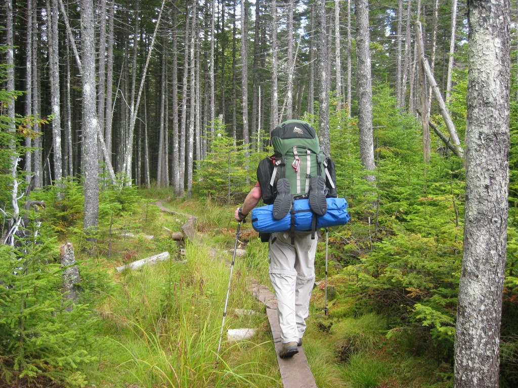
The 282 miles of the Appalachian Trail in Maine is generally considered the most difficult of the fourteen states that the A.T. traverses. While the elevations seldom top 4,000 feet , the terrain is often difficult and there are frequent rock scrambles through very rugged terrain. The hiking season in Maine is typically from late May to early October. Snow can linger on higher peaks into June, and weather can change rapidly. The Appalachian Trail Conservancy (ATC) does not recommend the Maine A.T. for novice hikers. There are limited bridges in the State due to the spring snowmelt and the streams on the trail require frequent fording. Slippery and sometimes hazardous weather can occur at any time, and the Maine A.T. is frequently remote to say the least. In some sections, don’t expect to hike more than a mile an hour and get used to steep ascents and descents. That said – the Maine A.T. has some of the most stunning and remote wilderness on the entire trail. It is often cited as a favorite State for many A.T. thru-hikers.
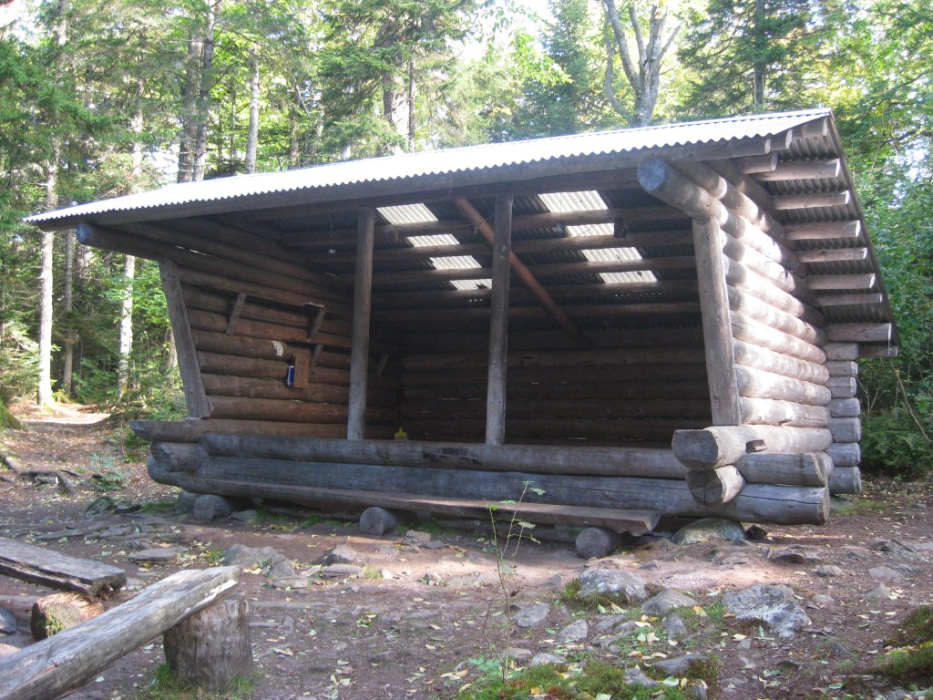
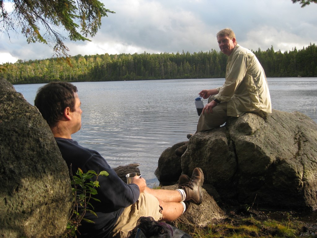
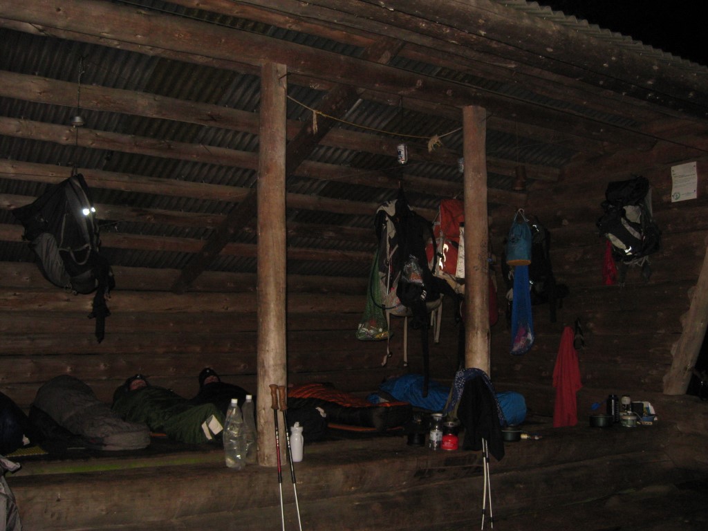
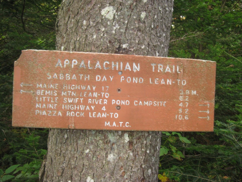
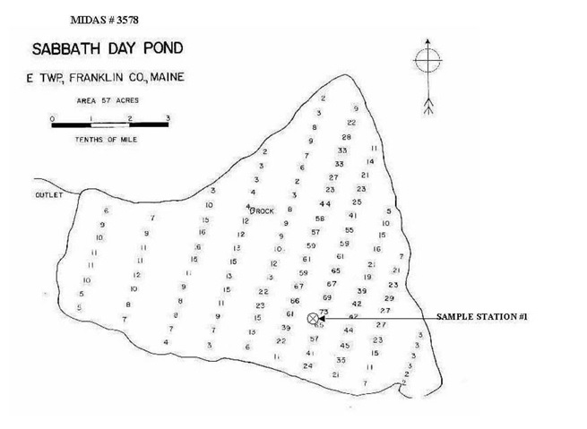
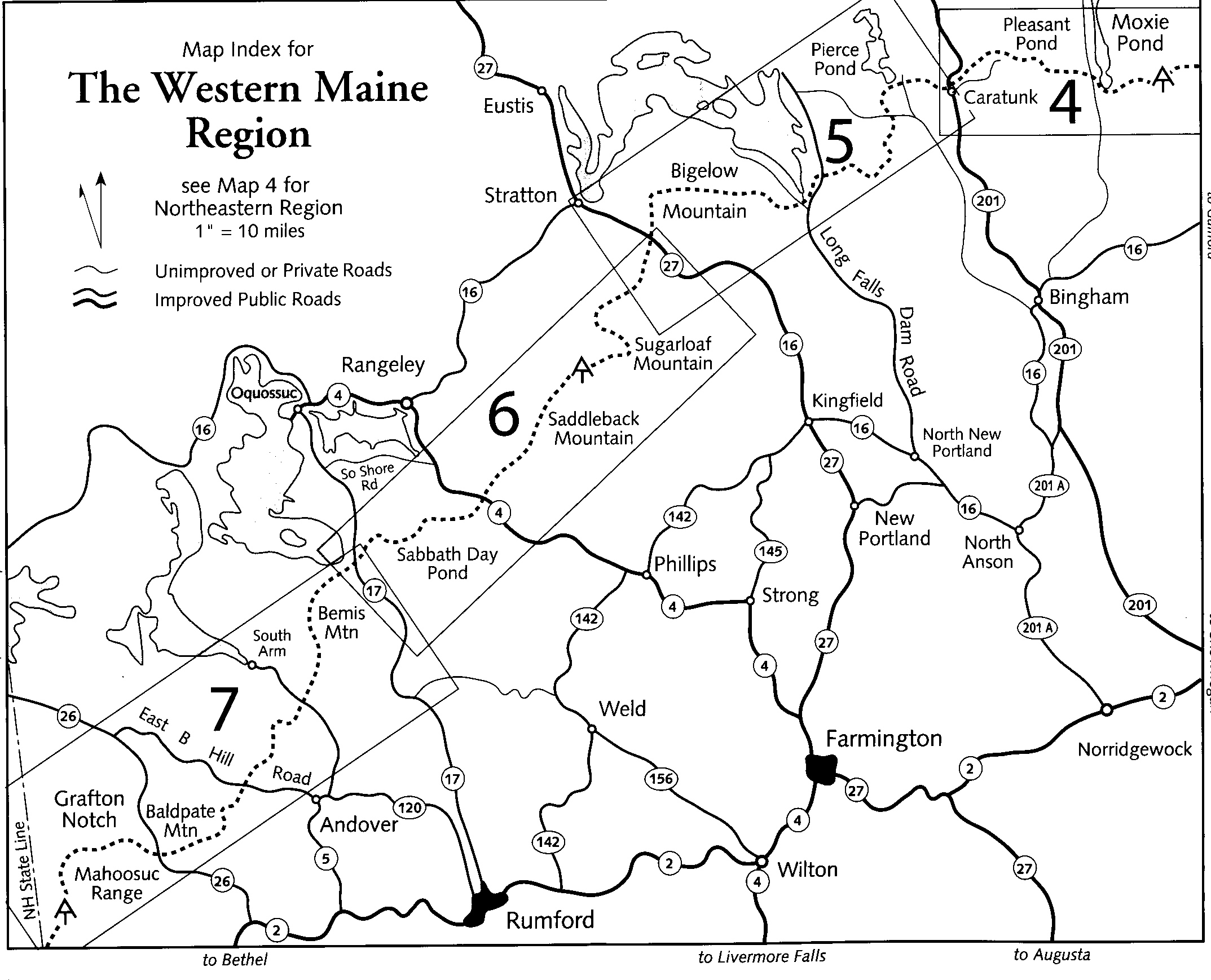
The section listed here from Sabbath Day Pond to Maine Highway 4 (Rangeley) is in western Maine, just south of the Rangeley Lakes region. It lies within the publicly-reserved lands known as the Four Ponds Public Reserved Land which is about 6,000 acres. The terrain in this section is moderate-to-rugged, with a mix of lowland spruce-fir forest, pond frontages, mossy/wet sections, and ledges. The scenic Sabbath Day Pond is the highlight in this area since it is set in a spruce-fir forest within the Four Ponds reserve where you can often hear loons calling throughout the day. A shelter is located about 200 yards from Sabbath Day Pond and a backcountry campsite (with piped spring) is located near the Little Swift River Pond. Both are great places to spend a few hours or the night if you have the time. We hiked 13.1 miles from ME 17 to ME 4 to cover this section and there are outstanding views back to Bemis Mountain and toward the Rangeley Lakes if you use the ME 17 trailhead for access to the pond.
- click to see a video for this backpacking trip to Sabbath Day Pond Lean-To: September 18, 2009
- click to see photos from this hike on the Appalachian Trail; September 18, 2009 (password required)
- click for a trip report for this hike near Rangeley, Maine: September 18, 2009
- click for view a map of this section of the Appalachian Trail at Sabbath Day Pond
- click for an ATC topo & profile map from the New Hampshire border to ME 17 (password required)
- click for an ATC topo & profile map from ME 17 to ME 27 (Stratton) (password required)
- click for a topographical and profile map of this hike to Sabbath Day Pond
- click for a map of the Appalachian Trail in New England (password required)
- click for more information on the Appalachian Trail
- click for Appalachian Trail hiking and backpacking books
- click to access the guidebook Appalachian Trail: Maine which has details on this destination
- click for other Maine hiking and backpacking books
