West Branch Long Creek (via Hickory Flatts Cemetery)
Chattahoochee-Oconee National Forests
1755 Cleveland Highway
Gainesville, GA 30501
770 297-3000
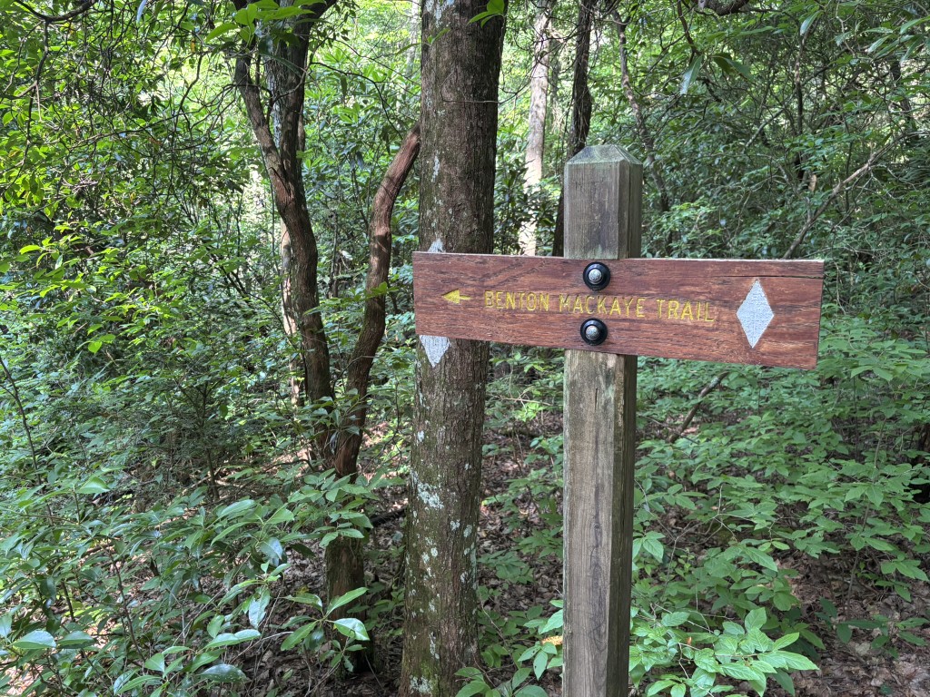
The Benton MacKaye Trail (BMT) is a footpath of nearly 300 miles that traverses the Appalachian mountains of the southeastern United States. It is named in honor of Benton MacKaye whose was a forester, planner and conservationist whose vision resulted in the creation of the Appalachian Trail in the early 1900’s. The BMT is designed for foot travel in the tradition of the Appalachian Trail (A.T.) and runs from Springer Mountain in Georgia to Davenport Gap on the northern edge of the Great Smoky Mountains National Park. The Benton MacKaye Trail passes through some of the most remote backcountry in Georgia, Tennessee and North Carolina, including eight federally designated Wilderness and Wilderness Study Areas.
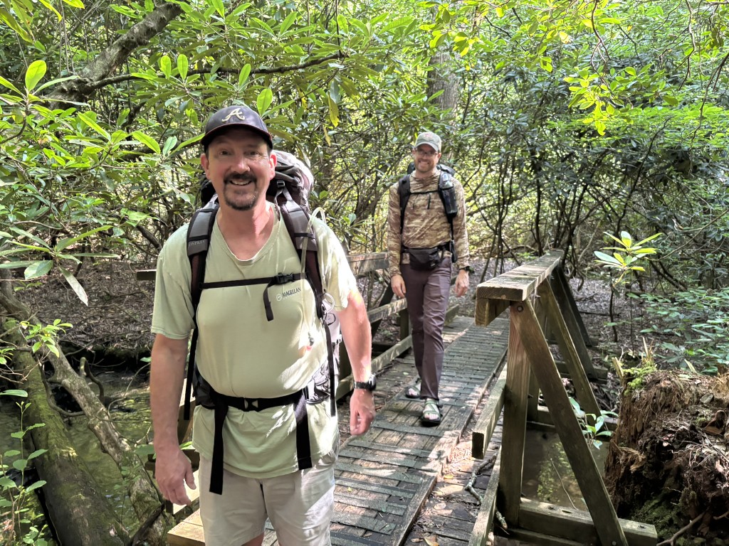
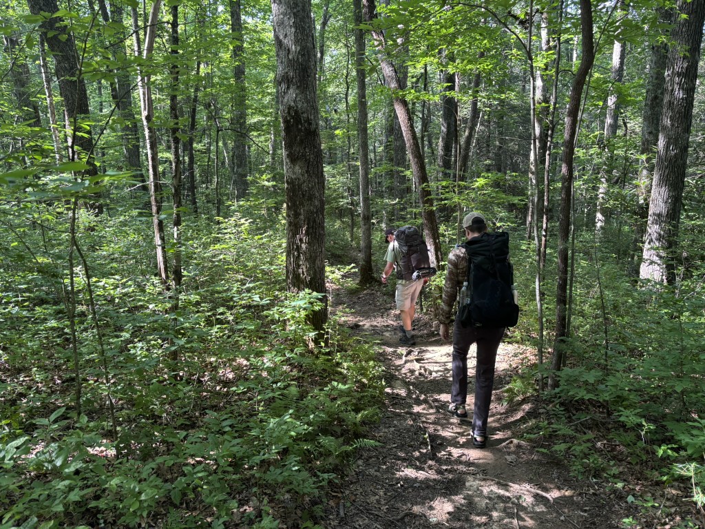
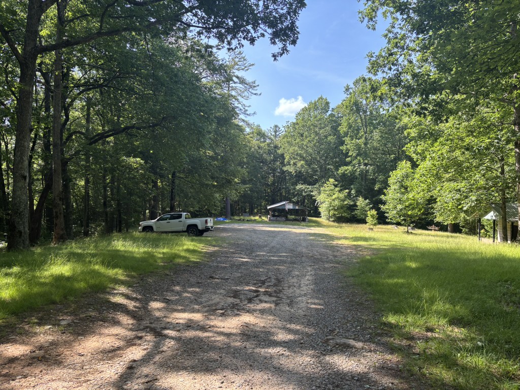
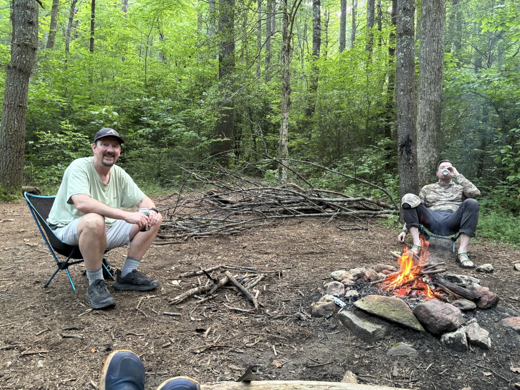
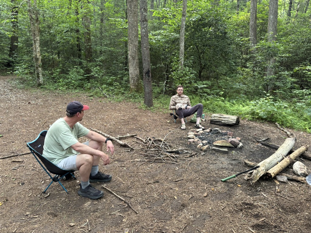
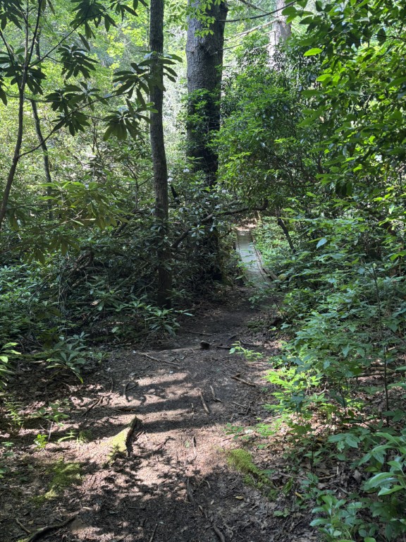
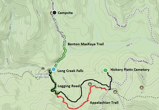
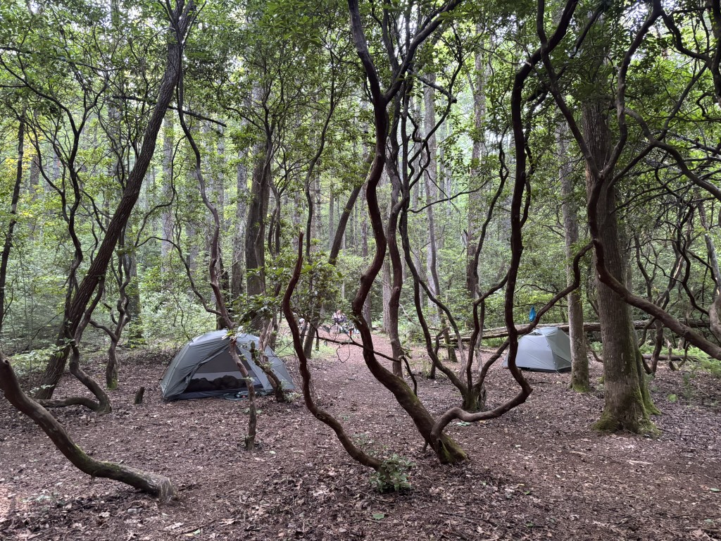
This hike starts at the Hickory Flatts Cemetery in the Chattahoochee National Forest and uses a combination of the Appalachian Trail, Benton MacKaye Trail, and an old and abandon logging road to reach a campsite on the west fork of Long Creek after 1.6 miles. The cemetery is the property of the New Bethel Church which was established in 1901 and is located 12 miles from the nearest paved road. It has a picnic pavilion and a concrete building housing two vault toilets in the parking area. There is also an interesting seesaw that spins 360 degrees near the pavilion which the kids will find entertaining if they are joining you on this hike. We hiked the short 0.2 mile distance from the cemetery to the an old logging road, then followed it to Long Creek Falls where we joined up with the Benton MacKaye Trail. From here it is less than a mile to a campsite on the west branch of Long Creek which sits right along the Benton MacKaye Trail and has flat areas for about five tents. We returned to the cemetery via the Appalachian Trail after backtracking to Long Creek Falls from the campsite.
- click for a trip report from this hike to the West Branch of Long Creek: June 26, 2026 (password required)
- click for a Trails Illustrated map of this area on the Benton MacKaye Trail
- click for a topographical map from this hike starting at Hickory Flatts Cemetery
- click for a map of the entire Benton MacKaye Trail (password required)
- click for another map of the entire Benton MacKaye Trail (password required)
- click for a topographical and profile map of section two of the Benton MacKaye Trail (password required)
- click for a BMTA profile map of section two of the Benton MacKaye Trail (password required)
- click for trail descriptions from section two of the Benton MacKaye Trail
- click for a hike to the nearby wildlife field from Hickory Flatts Cemetery in March 2021 and April 2023
- click for more information on the Benton MacKaye Trail
- click for Benton MacKaye Trail hiking and backpacking books