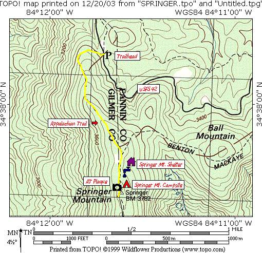
Springer Mountain (via USFS 42)
Chattahoochee-Oconee National Forests
1755 Cleveland Highway
Gainesville, GA 30501
770 297-3000
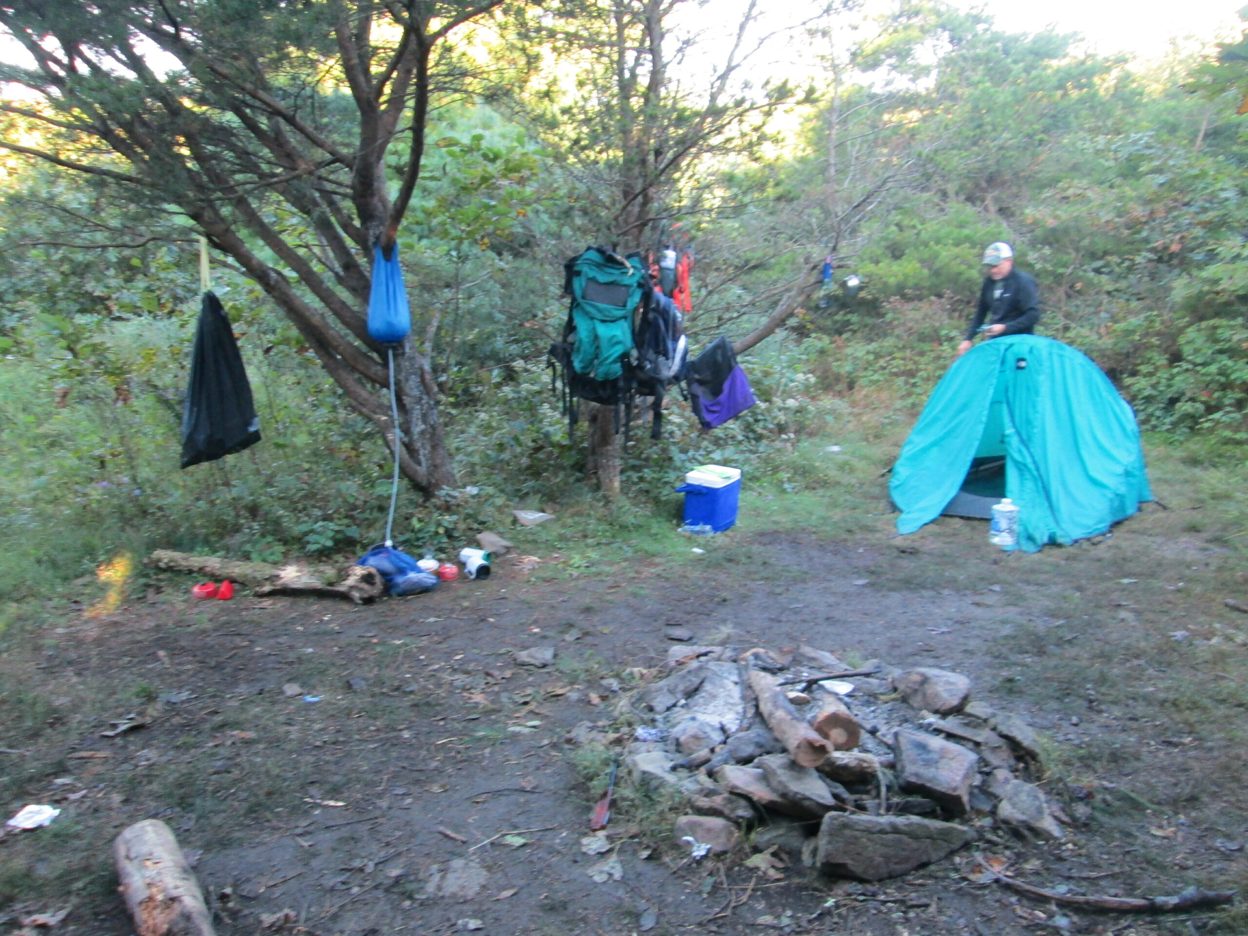
Springer Mountain is located in the Chattahoochee, and it is the southern terminus of the Appalachian Trail. Every spring, 2000-3000 thru-hikers (or individuals that plan to hike the entire A.T. in a single year) leave from the summit of Springer to attempt a 2100+ mile journey to the northern terminus at Mt. Katahdin in Maine. Springer Mountain (3,782 feet) has a bronze plaque (showing a hiker facing north) that is set in stone next to the first white blaze marking the Appalachian Trail. There is also a terminus plaque set in a rock behind the blaze that has a compartment with a trail register of entries from day hikers, backpackers, and thru-hikers that have visited the area. A shelter located about 0.2 miles north of Springer on a blue blazed side trail provides overnight accommodations and has a nearby water source from a mountain spring.
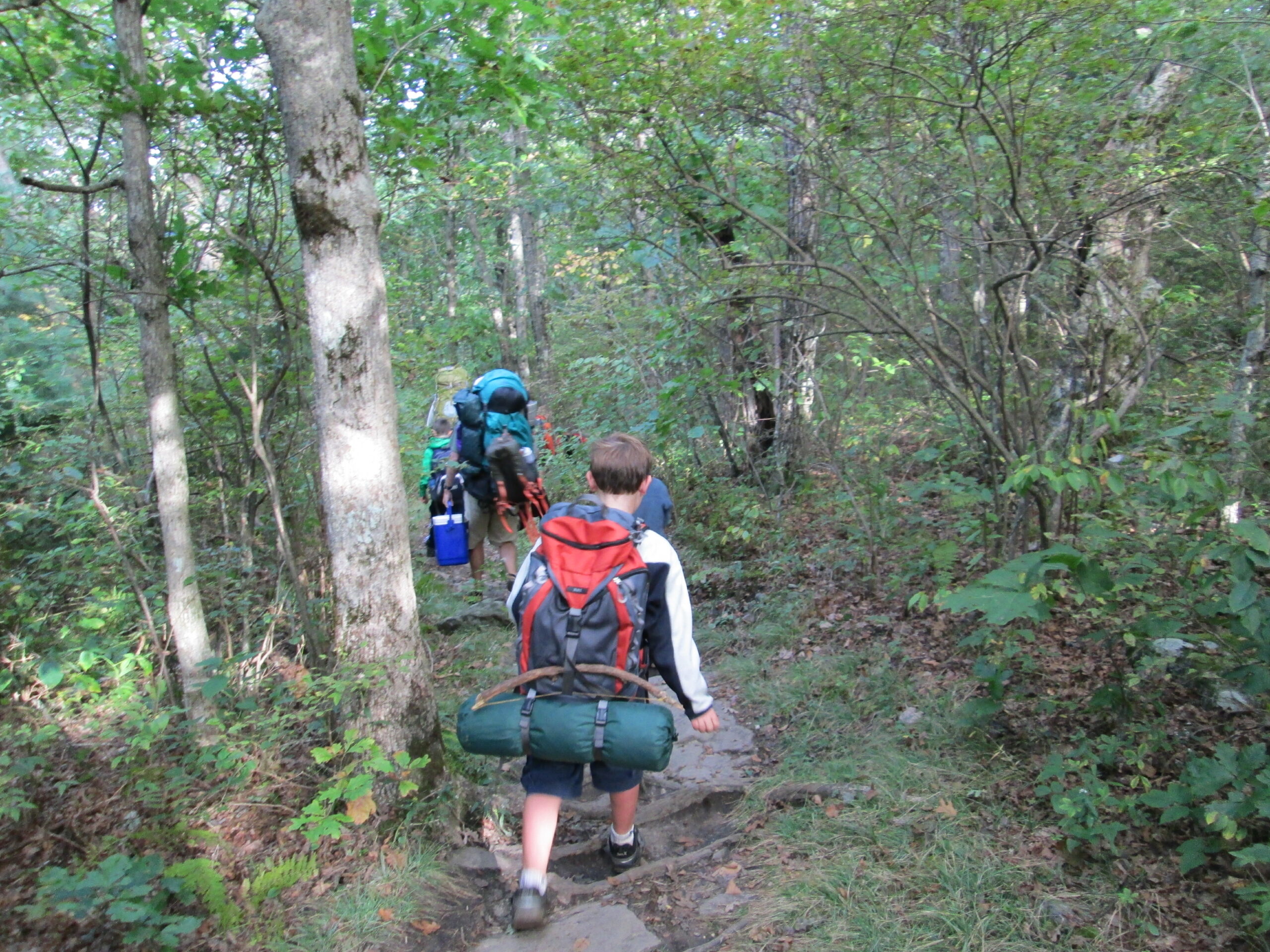
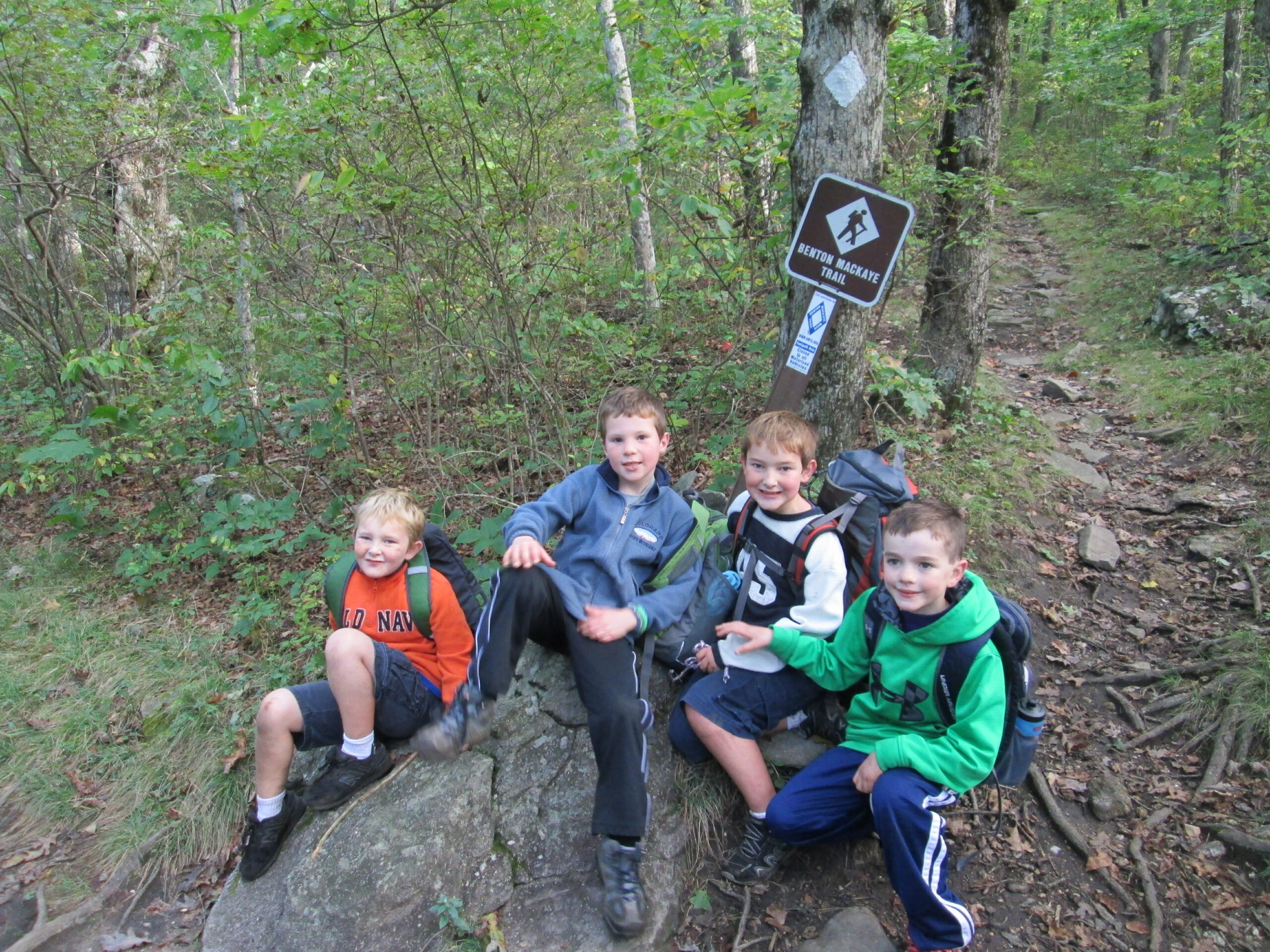
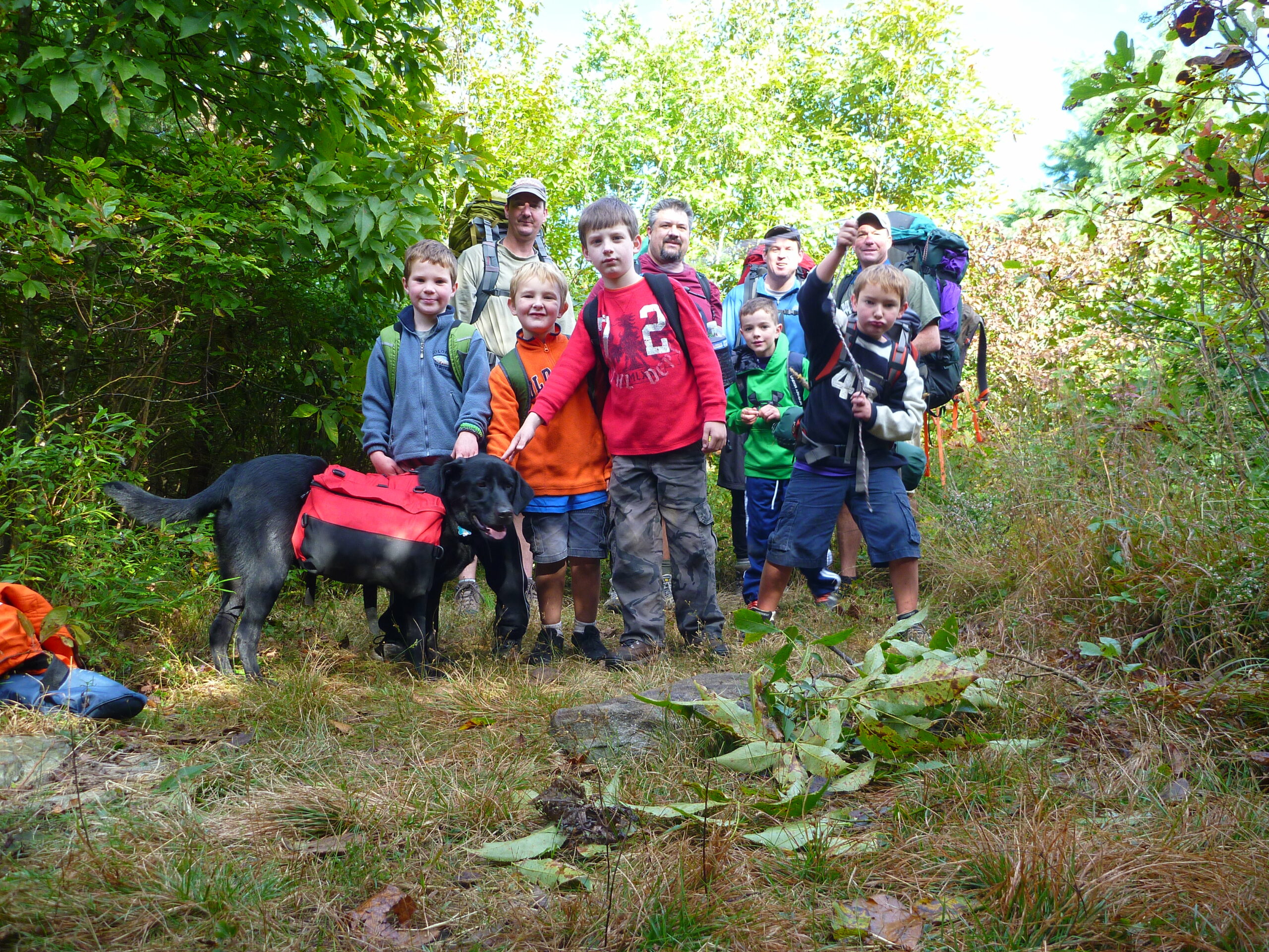
Springer Mountain is crisscrossed by three trails: the Approach Trail (a blue-blazed access trail that heads down the mountain to Amicalola Falls State Park), the Appalachian Trail (which runs northbound to Maine), and the Benton MacKaye Trail (which runs northbound for 100 miles to the Oconee River in Tennessee). The area is popular with both day and overnight hikers, and it gets a fair amount of trail traffic. I’ve hiked to Springer Mountain from all directions using the Approach Trail from Amicalola Falls State Park, the Benton MacKaye Trail from Big Stamp Gap, and the Appalachian Trail from USFS 42. This short day-hike is from USFS 42 and is the shortest and easiest of the three routes, although it requires a lengthy drive on U.S. Forest Service Roads.
- click for more photos from this hike starting at USFS 42: September 28, 2013
- click for a trip report for this hike along the Appalachian Trail: September 28, 2013 (password required)
- click to purchase a Trails Illustrated map of this hike in the Chattahoochee National Forest
- click for a topographical map of the Springer Mountain area (password required)
- click for a profile map of the Appalachian Trail from USFS 42 to Springer Mountain (password required)
- click for an ATC trail map from Amicalola Falls to Three Forks (password required)
- click for an ATC profile map from Springer Mountain to Sassafrass Mountain (password required)
- click for a Georgia Appalachian Trail overview map (password required)
- click for a Georgia Appalachian Trail profile map (password required)
- click for more hikes on the A.T. from USFS 42 to the summit of Springer Mountain
- click for more information on the Appalachian Trail
- click for the Appalachian Trail guidebook for Georgia and North Carolina
- click for Appalachian Trail hiking and backpacking books