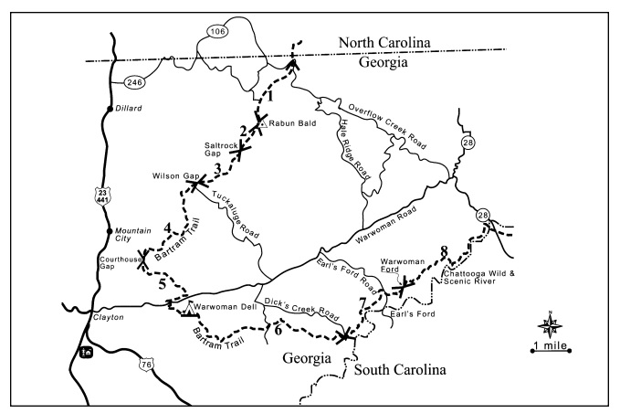
Rabun Bald (via Rabun Gap)
Chattahoochee-Oconee National Forests
1755 Cleveland Highway
Gainesville, GA 30501
770 297-3000
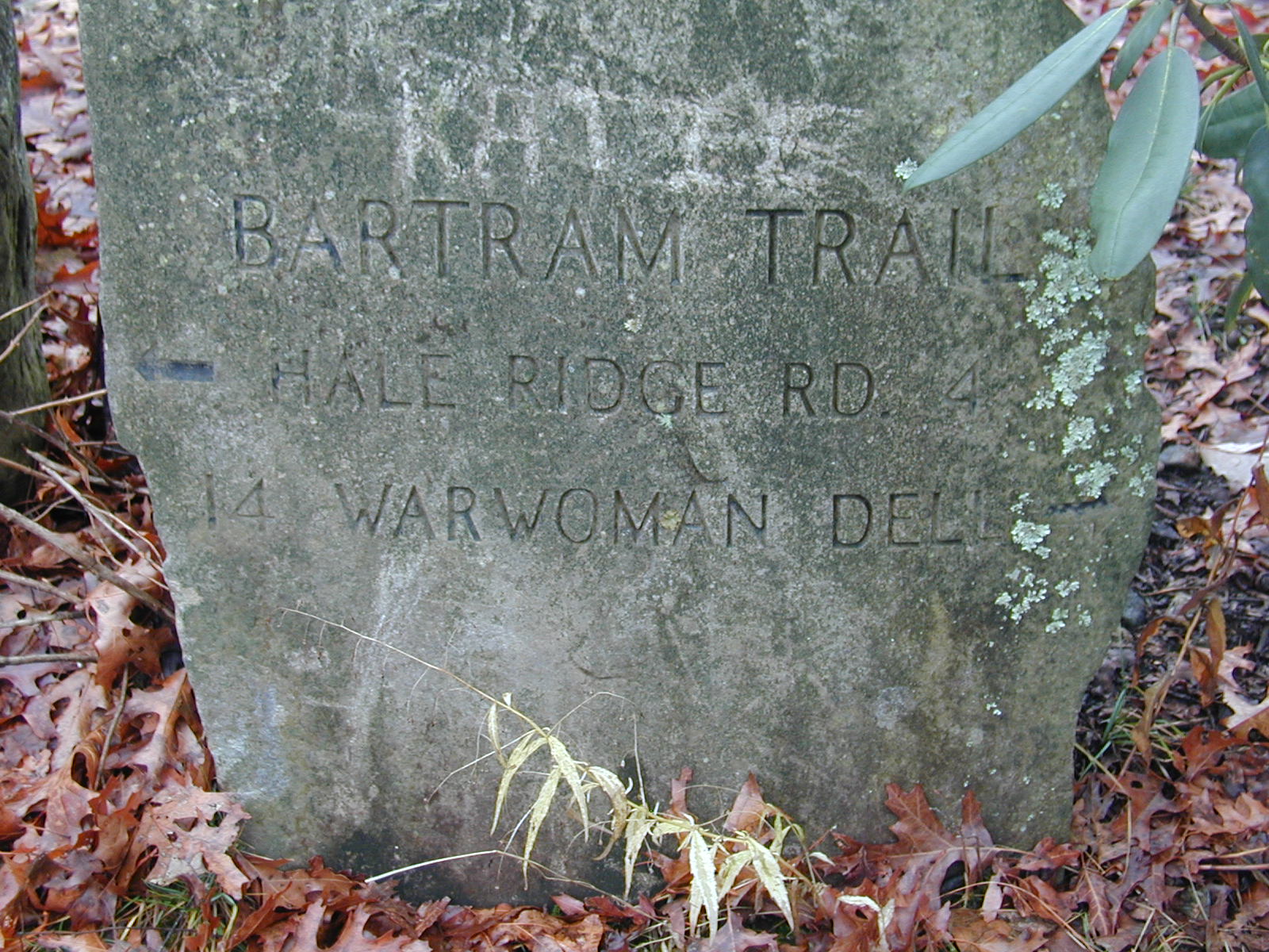
The Bartram Trail is a National Recreation Trail that winds through the mountains of South Carolina, Georgia, and the Nantahala National Forest in North Carolina. Named after naturalist William Bartram, the trail follows portions of the route he traveled through the southern wilderness in 1775 while studying the region’s plants, wildlife, rivers, and native cultures. Bartram later documented his observations in his famous book, The Travels of William Bartram, which became one of the earliest and most influential accounts of the American Southeast. In Georgia, the trail stretches for approximately thirty-six miles across the Chattahoochee National Forest and is marked with distinctive yellow blazes. The route passes through remote forests, mountain ridges, waterfalls, and scenic overlooks, making it a favorite among hikers seeking a quieter alternative to the nearby Appalachian Trail. The nonprofit Bartram Trail Society continues to support the trail through volunteer efforts focused on maintenance, construction, and preservation.
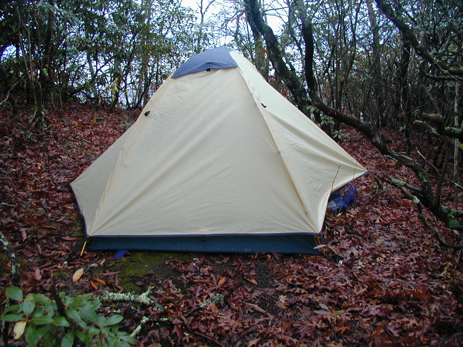
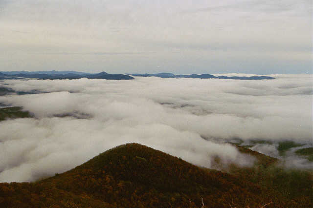
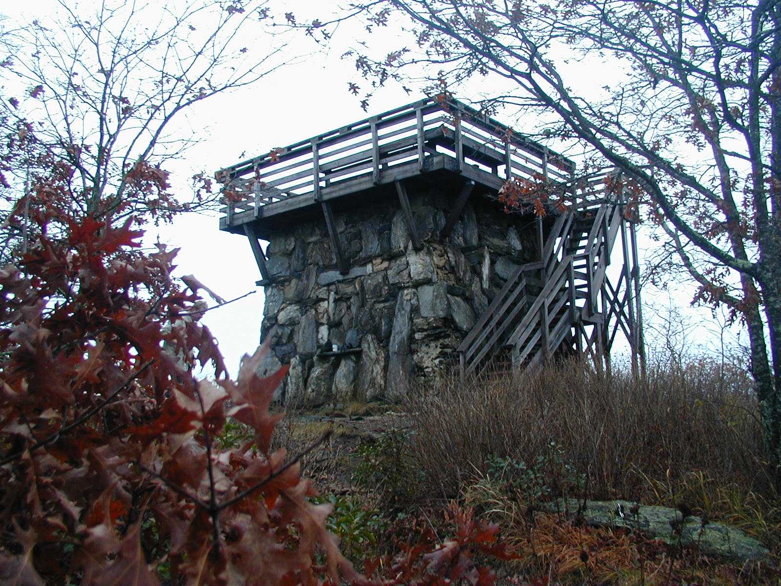
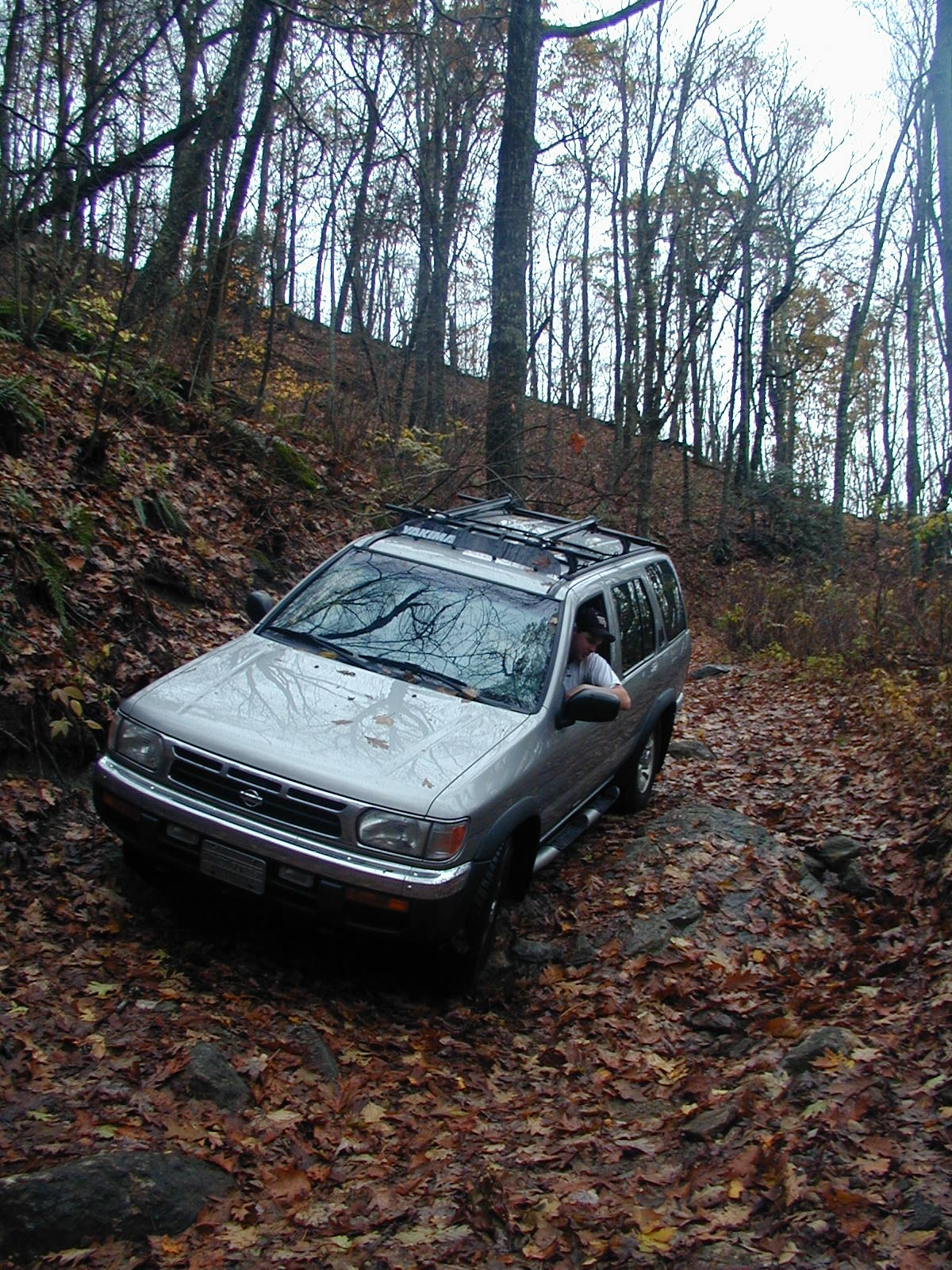
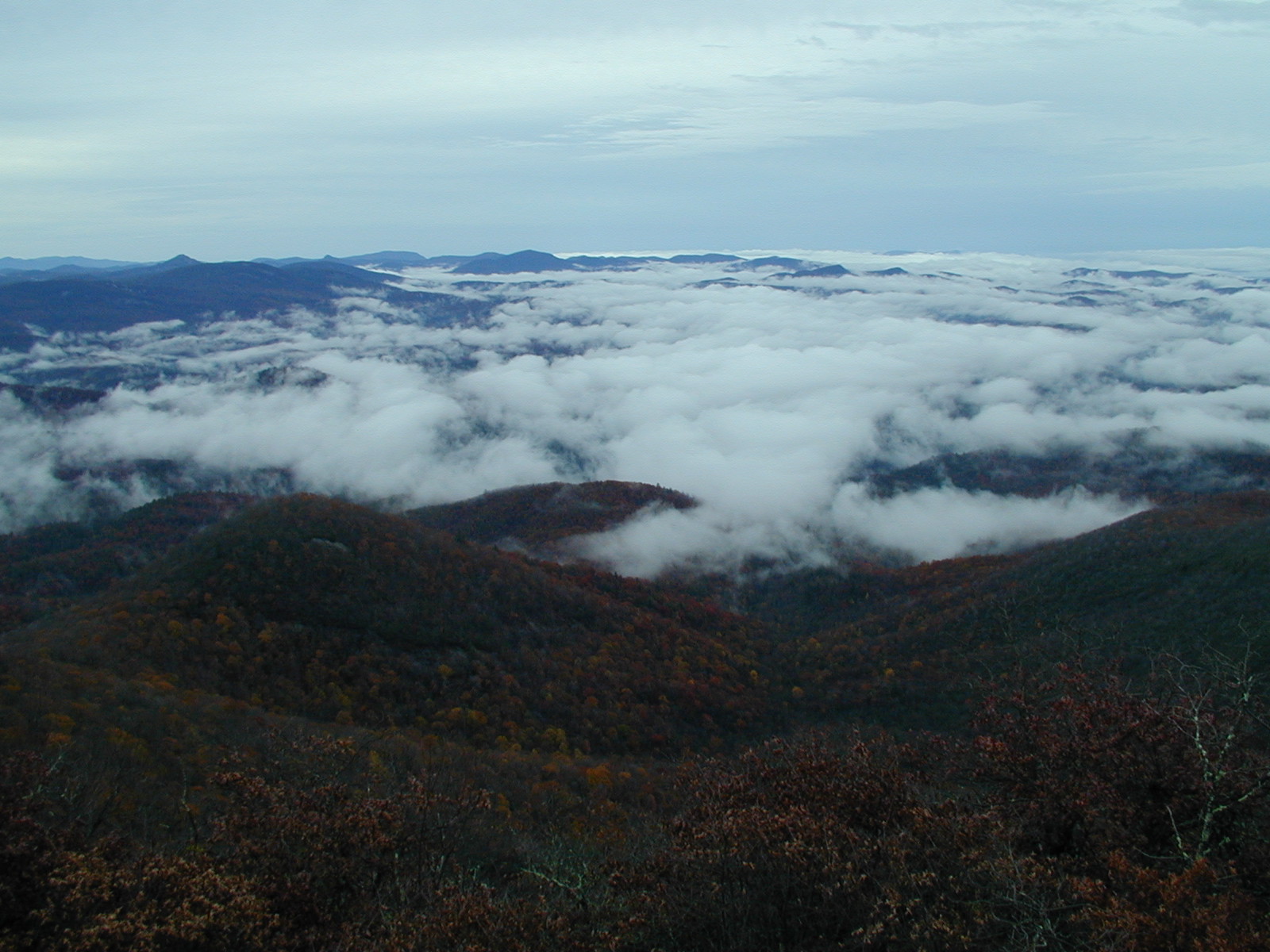
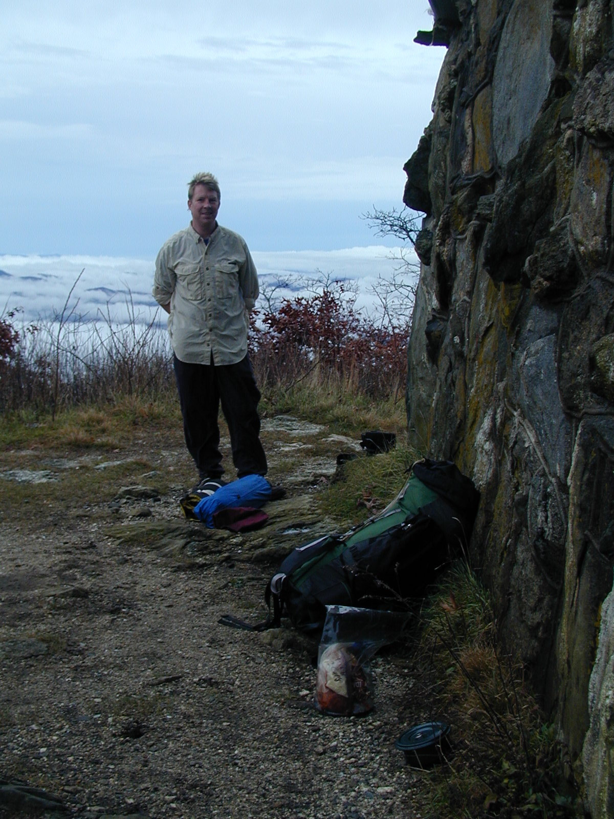
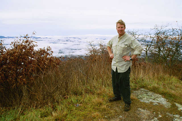
This section of the Bartram Trail travels southbound from Rabun Gap to Rabun Bald (4,696 feet) as a backtrack hike through some of the most scenic terrain in northeast Georgia. Access to Rabun Gap is provided by an old forest road where four-wheel drive is highly recommended, particularly after periods of rain. Rabun Bald, the second-highest mountain in Georgia, is crowned by a historic fire tower that offers sweeping 360-degree views into Georgia, North Carolina, and South Carolina. The panoramic vistas and cooler mountain temperatures make the summit a popular overnight destination for backpackers, especially during the warmer months. However, hikers should use caution because Rabun Bald is highly exposed and prone to fast-moving thunderstorms with dangerous lightning during the summer. Several small campsites are located just south of the summit within the protection of the trees and are much safer than camping near the tower itself. Day hikers and backpackers alike should keep an eye on darkening skies to the south and southwest and leave the summit well before storms arrive. Because Rabun Bald is also a heavily visited day-hiking destination, pets should remain on a leash around the summit and tower area.
- click for more photos from this hike to Rabun Bald in North Georgia: November 10, 2002
- click for a photo journal written by the Camel with details from this hike: November 10, 2002 (password required)
- click for a detailed trip report for this hike in the Chattahoochee National Forest: November 10, 2002 (password required)
- click for a trip report from this backpacking trip to Rabun Bald: November 10, 2002 (password required)
- click for an overview map of the Bartram Trail in Georgia (password required)
- click for a topographical map of the Bartram Trail in Georgia (password required)
- click for a topographical and a profile map from Rabun Gap to Rabun Bald (password required)
- click for a trail map and brochure of the Bartram Trail in Georgia
- click for more information on the Bartram Trail
- click for Bartram Trail hiking and backpacking books
- click for more hikes to Rabun Bald from Rabun Gap in November 2001 and November 2002
- click for another hike to Rabun Bald from Beegum Gap in December 1997 and February 2025
- click for more hikes to Rabun Bald from Hale Ridge Road in April 1997 and July 1997
- click for the guidebook Best Hikes With Dogs Georgia And South Carolina for more on this area