Panther Creek #4
Chattahoochee-Oconee National Forests
1755 Cleveland Highway
Gainesville, GA 30501
770 297-3000
The Chattahoochee National Forest is a vast and scenic forest located in northern Georgia. It covers approximately 750,000 acres and is part of the larger Chattahoochee-Oconee National Forests. The forest spans multiple counties in northern Georgia, including Fannin, Union, Lumpkin, and Habersham county. The forest boasts over 450 miles of trails, including the famous Appalachian Trail, and other multi-state long distance trails – notably the Benton MacKaye Trail and Bartram Trail.
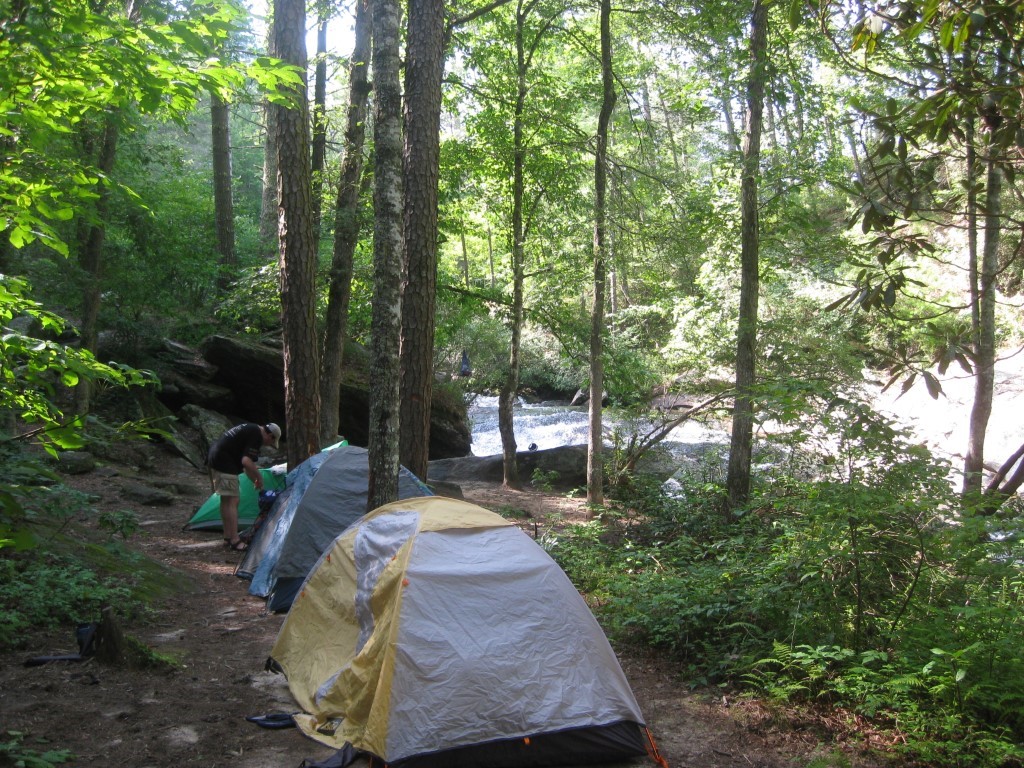
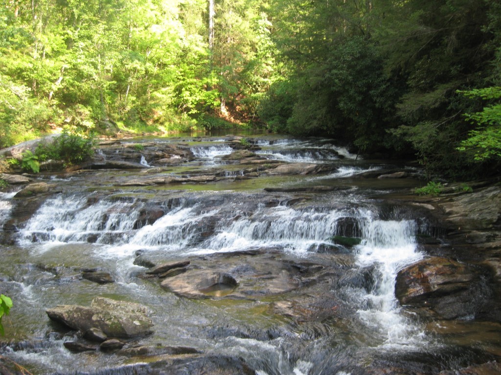
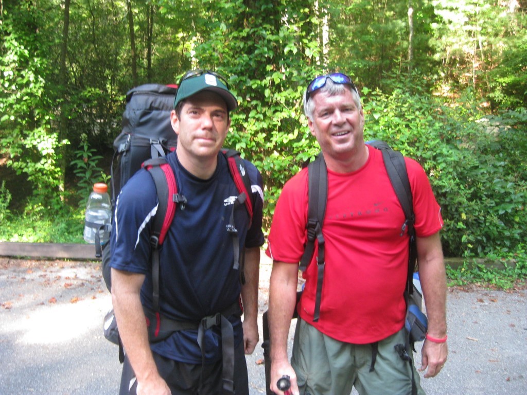
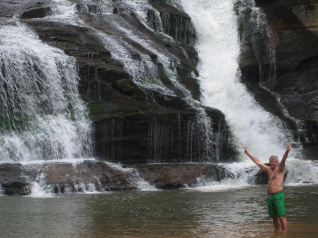
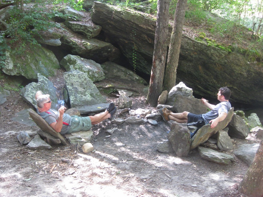
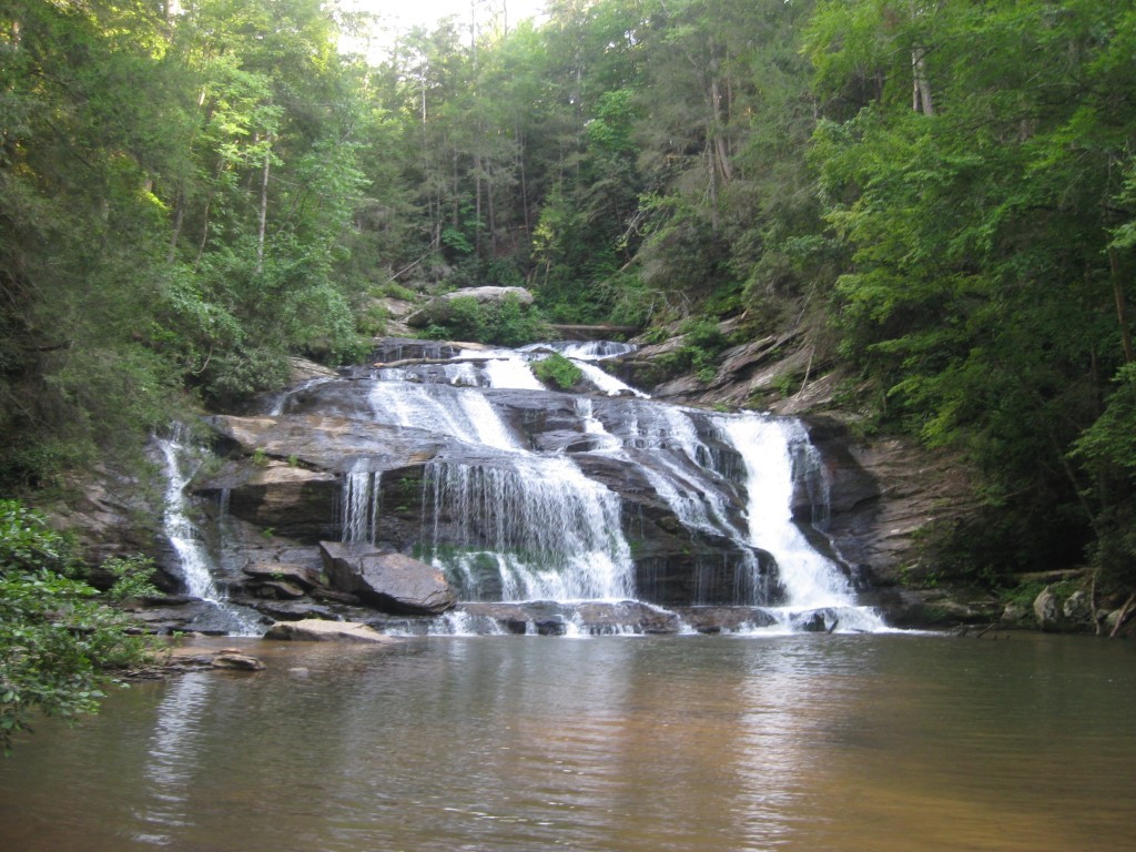
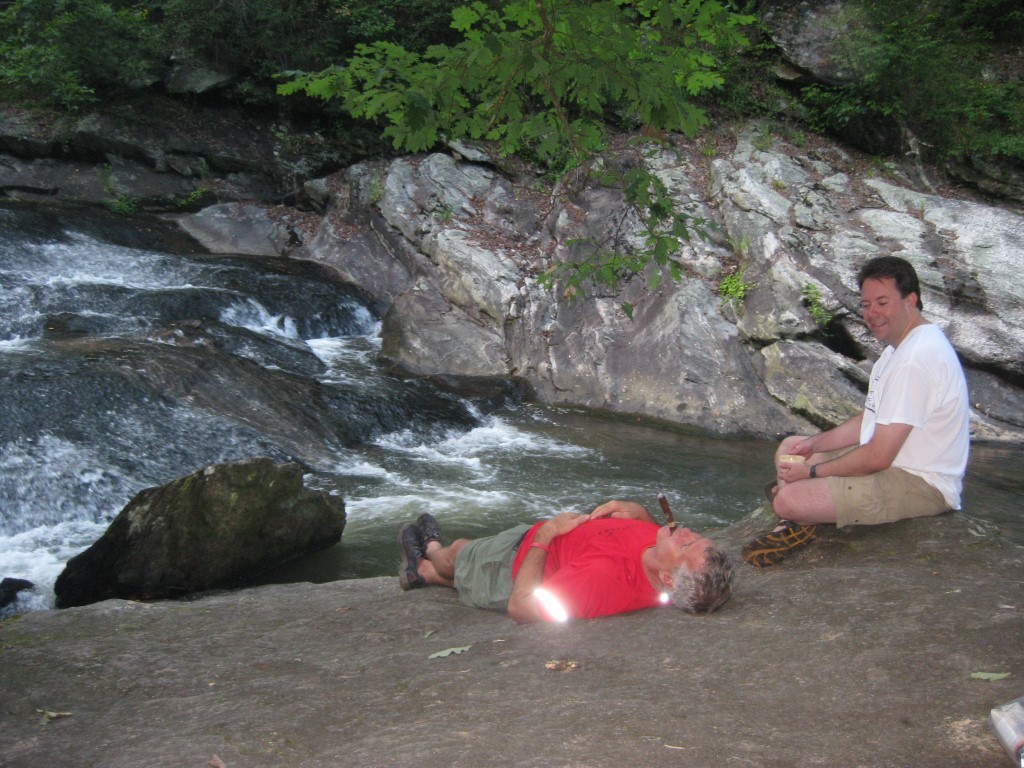
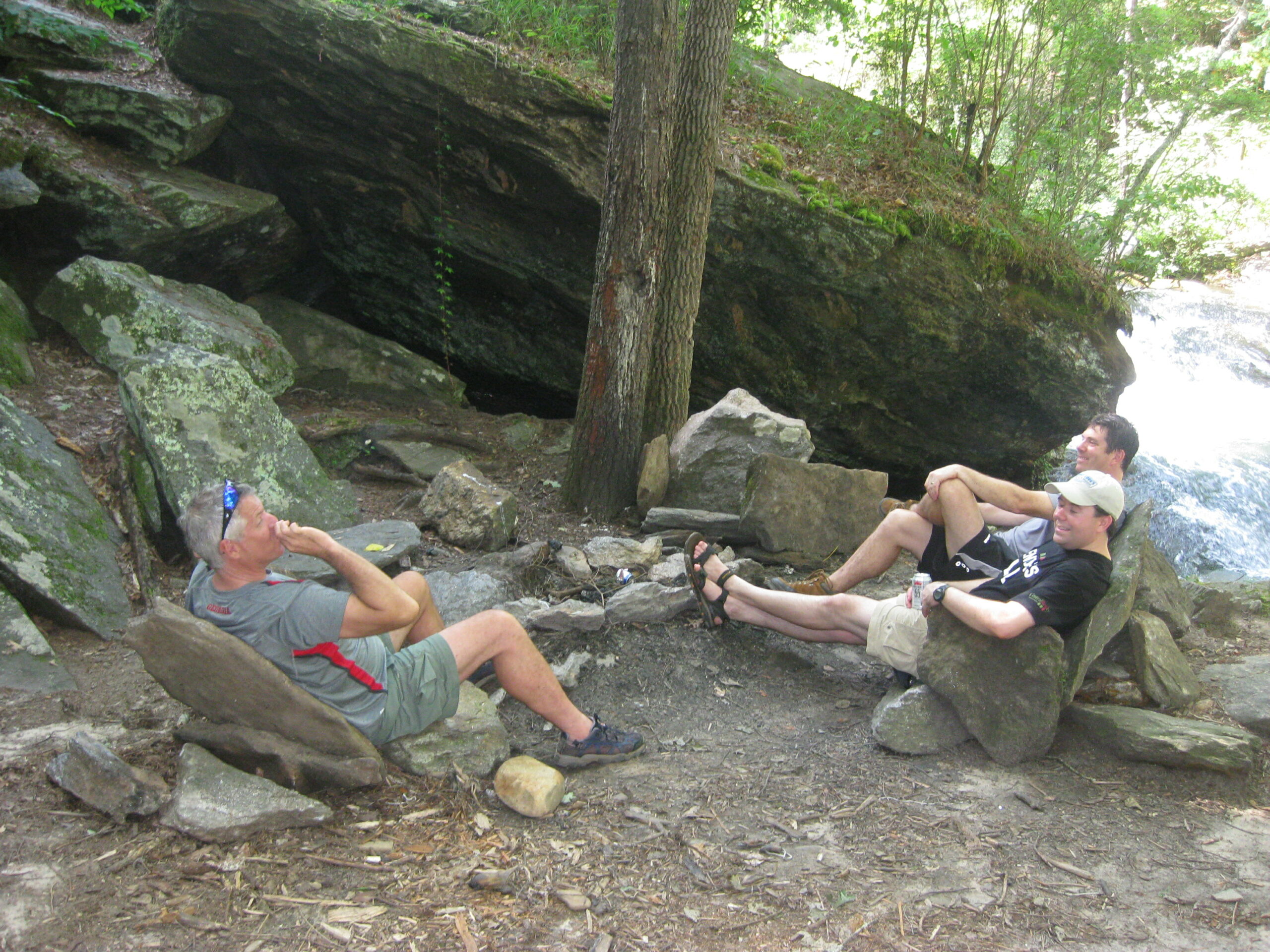
Panther Creek is located in the Chattahoochee National Forest and runs for 3.5 miles from US 441 before reaching its namesake Panther Creek Falls after 3.5 miles. The 75 foot water fall is located in the Panther Creek Recreation Area which is a heavily used but offers well maintained trails and parking facilities. The hiking trail starts as an easy to moderate walk along Panther Creek. As the footpath closes in on the falls, however, it gets much more challenging and at times hugs stone cliffs that are lined with wire cable to prevent hikers from falling in the ravine. Most hikers can hike in and out in four hours but allow some extra time to enjoy the pool at the base of Panther Creek Falls which can be very refreshing in the summer months.
- click for photos from this hike to Panther Creek Falls: July 22, 2010
- click for a trip report from this hike in the Chattahoochee National Forest: July 22, 2010 (password required)
- click for a topo, profile, and campsite map for this hike to Panther Creek Falls (password required)
- click for a USFS trail map of this backpacking trip along Panther Creek
- click for a profile map of this hike from the trailhead to Panther Ceek Falls (passwordrequired)
- click for a topographical and black & white profile map of this hike on Panther Creek (password required)
- click for another hike to Panther Creek Campsite #4 in June 2010 and June 2011
- click for more hikes in the Panther Creek Recreation Area to Campsite #2 and Campsite #3
- click to access the guidebook Hiking Georgia which has details on this destination
- click for other Georgia hiking and backpacking books