Fall Branch Falls
Chattahoochee-Oconee National Forest
Blue Ridge Ranger District
2042 Highway 515 West
Blairsville, GA 30512
706-745-6928

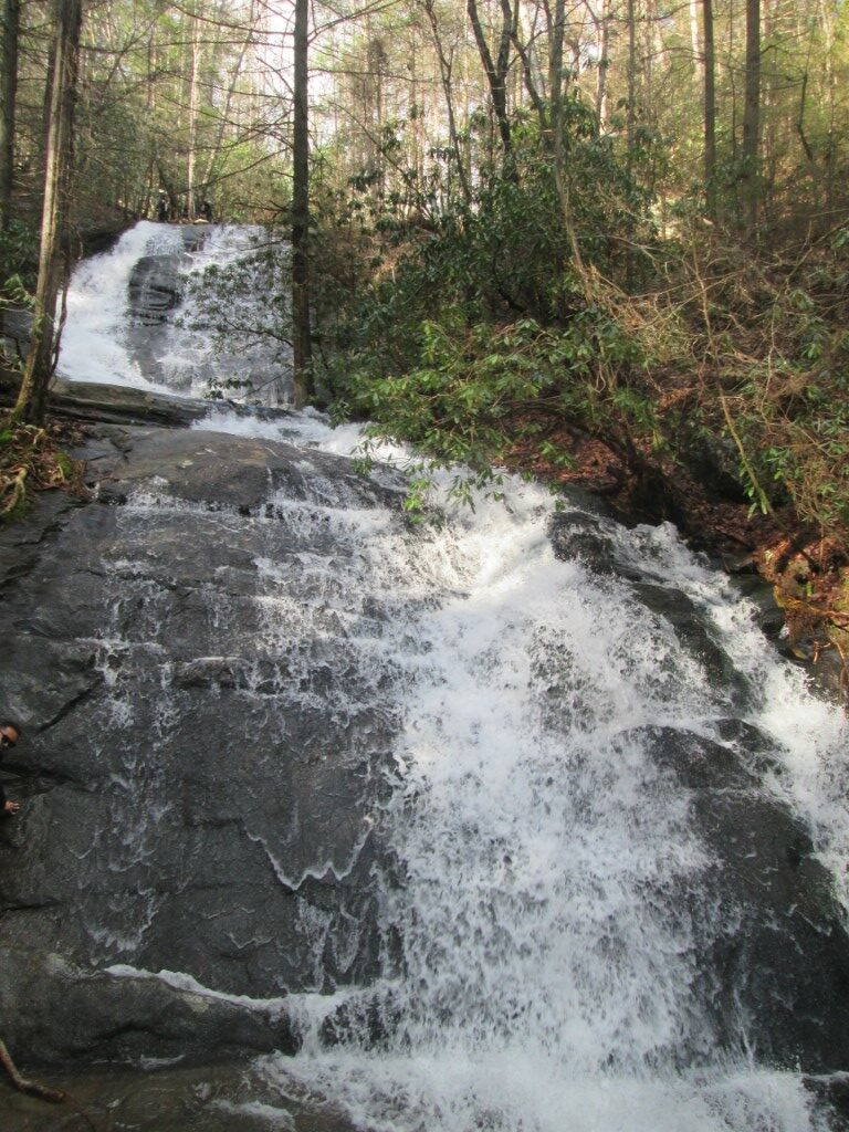
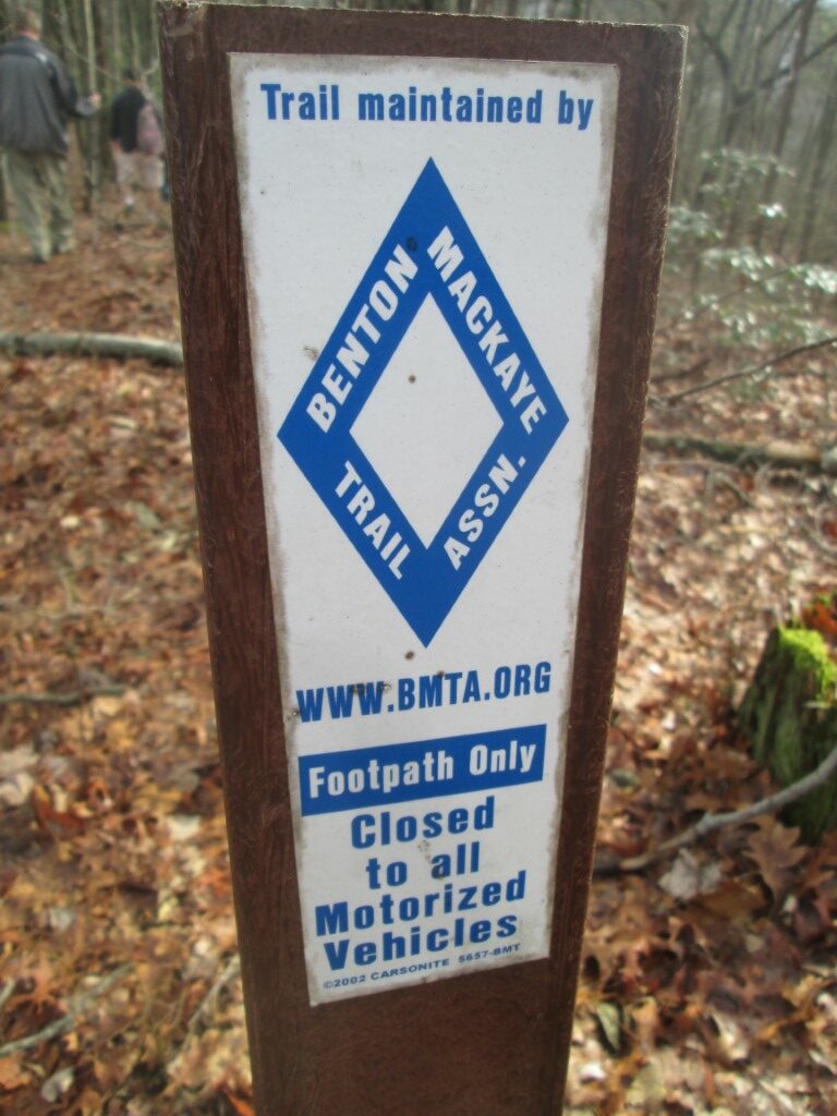
Fall Branch Falls is a scenic waterfall located in the Chattahoochee National Forest near Ellijay, Georgia, in the heart of the North Georgia mountains. Surrounded by a thick forest of hardwoods and evergreens, the waterfall is a popular destination for hikers looking for a short outdoor adventure without committing to a long or strenuous trek. The falls can be reached by following the Benton MacKaye Trail from the vicinity of Rock Creek Road, with a relatively short walk leading to a viewing platform overlooking the cascading water. The hike is generally considered easy to moderate and is suitable for a wide range of ages and abilities, although the natural terrain may be uneven in places. For those who want a longer outing, the nearby Stanley Gap Trail provides an opportunity to create a loop through the surrounding forest. This route connects with the broader Rich Mountain and Aska trail systems, offering a more varied hike with additional elevation changes and woodland scenery. Whether you choose the short walk directly to the waterfall or the longer loop, Fall Branch Falls is an enjoyable destination for families, casual hikers, and anyone exploring the waterfalls and trails of the Chattahoochee National Forest.
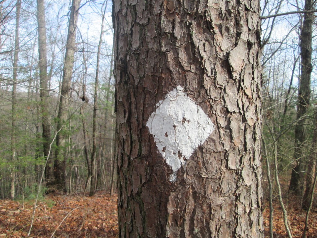
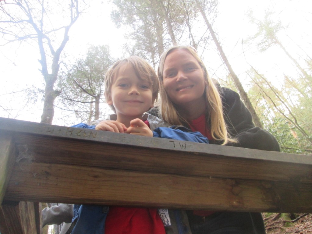
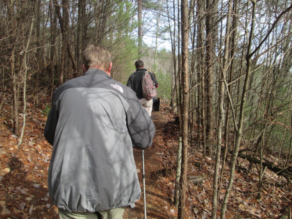
On our visit, we chose the longer loop rather than taking the direct route to Fall Branch Falls. We hiked approximately two miles before reaching the waterfall, following the Stanley Gap Trail through the forest as it climbed toward the Benton MacKaye Trail. This section provides a more substantial workout than the direct approach, with a gradual-to-moderate ascent through the wooded mountain landscape. After connecting with the Benton MacKaye Trail, we descended toward Fall Branch Falls, where a viewing platform provides a place to stop and enjoy the waterfall from above. The sound of the water and the surrounding forest make this a pleasant spot to take a break before continuing the hike. From the falls, we returned toward the trailhead along a forest road, completing a route that combines established hiking trails with a less rugged return section. Visitors can choose between the shorter out-and-back hike, which is approximately 0.9 mile round trip, or the longer loop of about 2.9 miles, depending on their available time and desired level of exertion. Be sure to follow trail markers and check a current map when combining routes, as trail junctions can be confusing. One additional point worth noting is that another waterfall named Fall Branch Falls is located in Tennessee’s Cherokee National Forest, so make sure you are researching the Georgia destination when planning your visit.
- click for a video or our hike to Fall Branch Falls in the Chattahoochee National Forest
- click for more photos from this hike in the Aska Trail System: December 31, 2016
- click for a trip report of this hike on the Stanley Gap Trail: December 31, 2016 (password protected)
- click for a Trails Illustrated map of this area in the Chattahoochee National Forest
- click for a topographical and profile map of this hiking trip to Falls Branch Falls (password required)
- click for another hike in the Rich Mountain Wilderness in December 2019
- click for a list of our hikes over the New Years holiday starting in December 2004 (password required)
- click for the guidebook Hiking Trails North Georgia for more hikes in this area
- click for more hiking and backpacking books from Georgia
- click for more information on the Benton MacKaye Trail
- click for other hikes on the Benton MacKaye Trail in Georgia
- click for Benton MacKaye Trail hiking and backpacking books