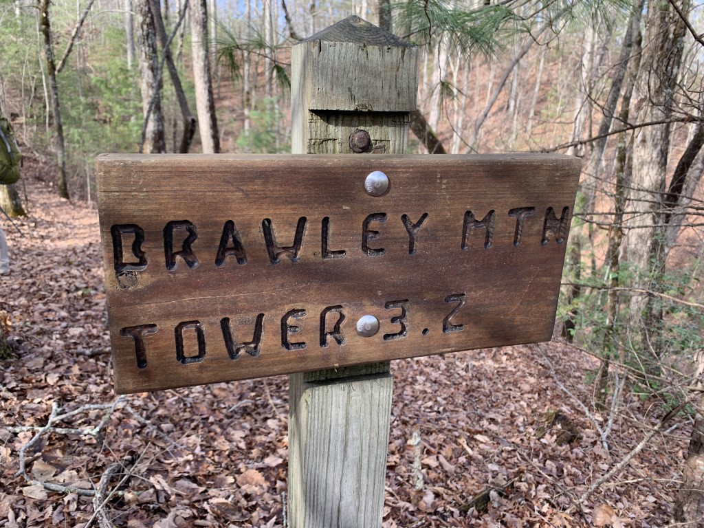
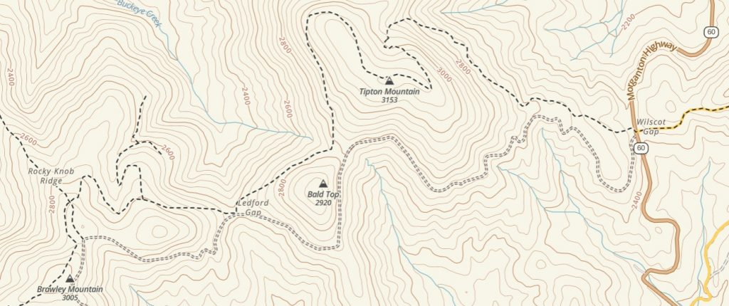
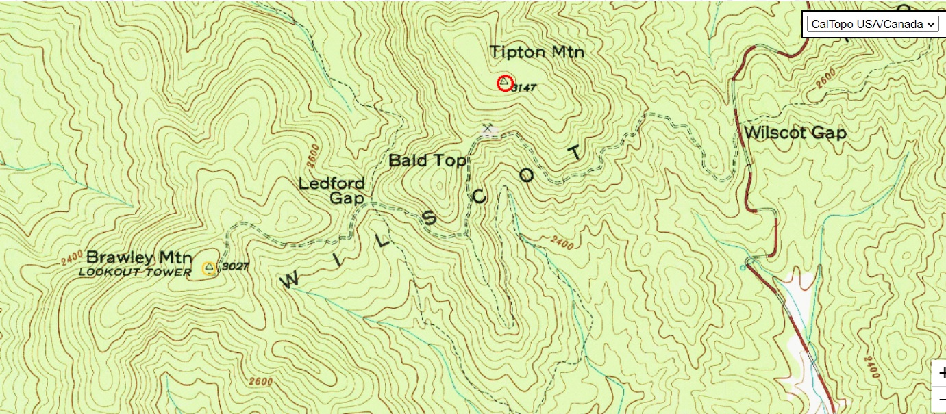
Brawley Mountain
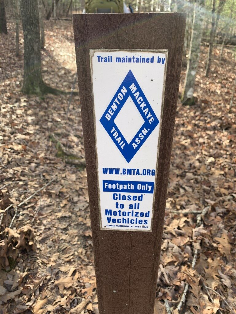
Benton MacKaye Trail Association
P.O. Box 6
Cherry Log, GA 30522
https://bmta.org/

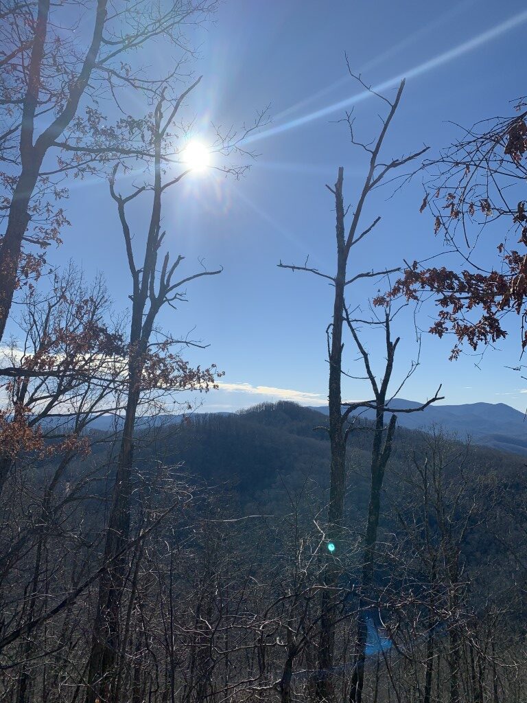
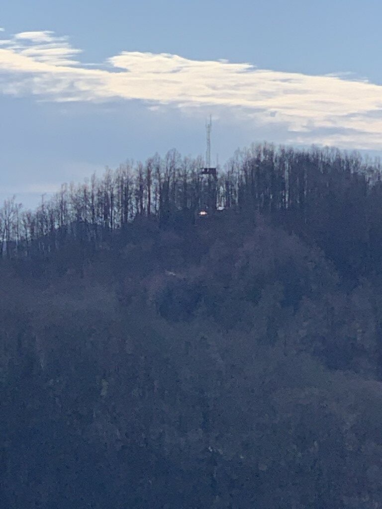
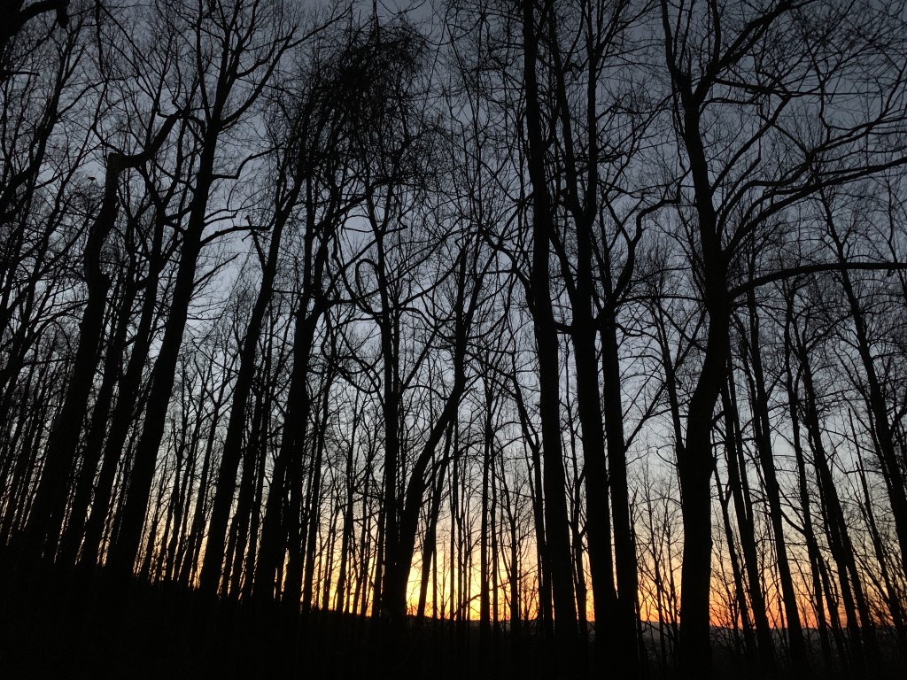
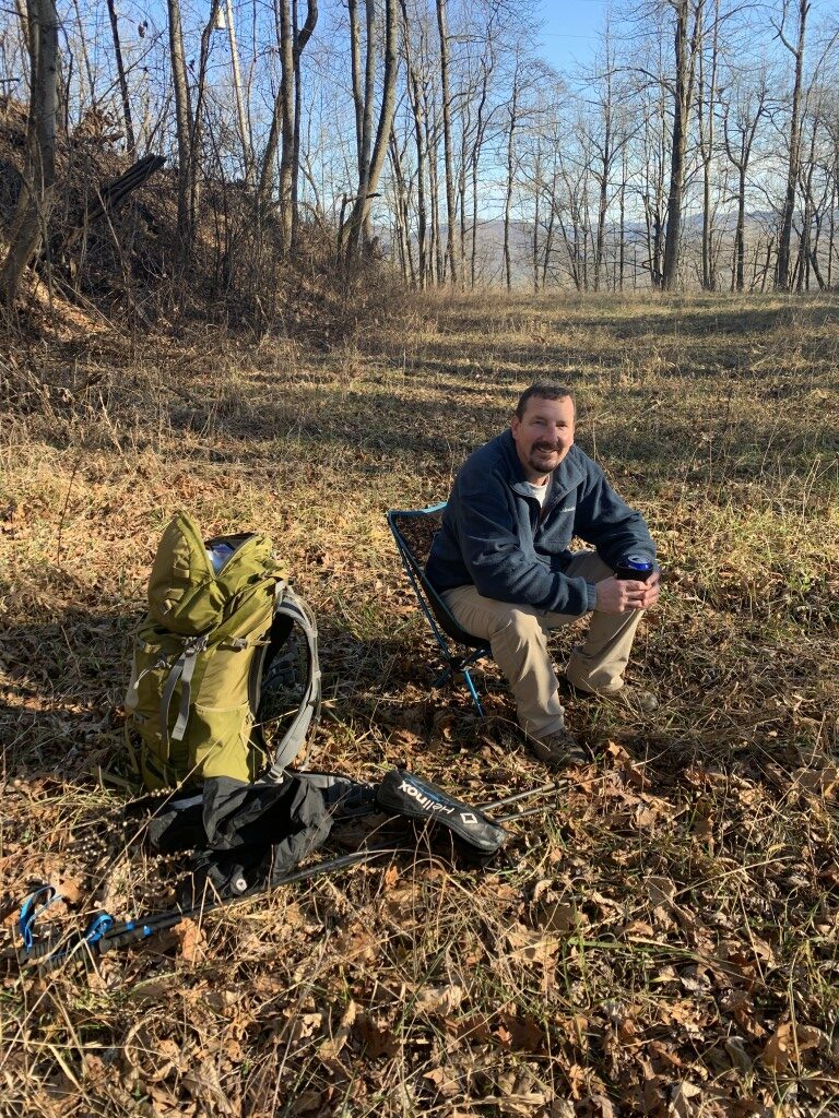
Brawley Mountain (3027′) is the site of the only remaining fire tower on the entire Benton MacKaye Trail. The tower is currently used for TV and radio communications and is no longer accessible to the public. At Brawley Mountain there is a flat area with winter views of Blue Ridge Lake and the surrounding Blue Ridge Mountains of the southern Appalachians. The area near the summit has mixed hardwood and pine forests, steep ridges, and deep valleys – although the summit itself lacks an expansive open area like some other summits in North Georgia.
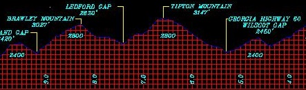
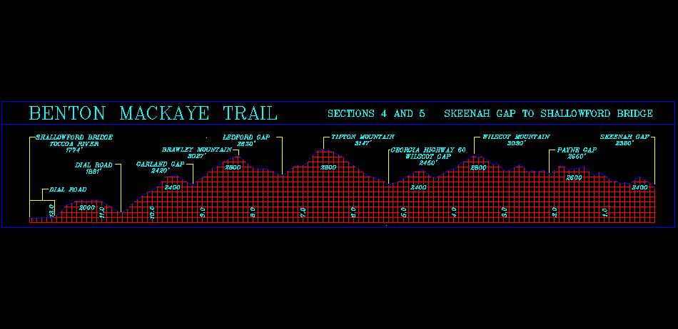
From Wilscot Gap, it is a 3.2 mile hike to Brawley Mountain on the Benton MacKaye Trail which is a much quieter alternative to the nearby Appalachian Trail. The hike begins with a steep 1.3 mile and ~700″ climb up to Tipton Mountain (3147′), then descends and ascends multiple times to small gaps before you make the final 400′ climb to Brawley Mountain. Camping is permitted at the summit, but there is no water here. The gated Forest Road 45 also leads from Wilscot Gap to the firetower and you can use the road on the return trip to loop back to the parking area if you want an alternative to the Benton MacKaye Trail.
- click for videos of the U.S. Army training in the valley below our campsite, the Coors water collection system (password required)
- click for more photos from this hike to Brawley Mountain in the Chattahoochee National Forest: January 21, 2021
- click for a trip report from this hike near Suches, GA: January 21, 2021 (password required)
- click for a Trails Illustrated map of this area in the Chattahoochee National Forest
- click for a trail map with details for this hike to Brawley Mountain (password required)
- click for a map of the entire Benton MacKaye Trail in North Georgia (password required)
- click for another map of the entire Benton MacKaye Trail (password required)
- click for a BMTA profile map of section four and five of the Benton MacKaye Trail (password required)
- click for more information on the Benton MacKaye Trail
- click for Benton MacKaye Trail hiking and backpacking books
- click for other Georgia hiking and backpacking books