Birch Creek
Cohutta Wilderness Area
National Forest Service
401 Old Ellijay Road
Chatsworth, GA 30705
(706) 695-6736

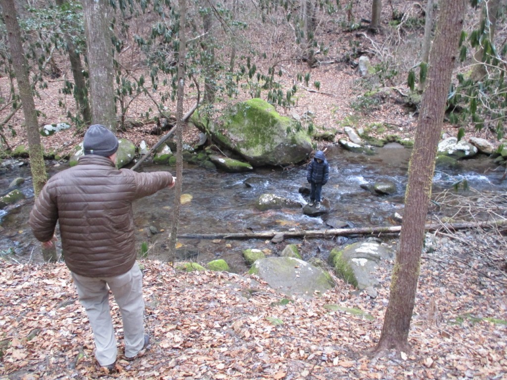
This is a short section of the Conasauga River Trail that you can follow 1.7 miles down from Betty Gap to the junction of Popular Springs Branch, Birch Creek, and the Conasauga River Trail. The point where these streams intersect is interesting but there are limited flat areas for camping here if you are a backpacker.
If you are day hiking, it is ~800 feet down to the junction of these streams and you will likely be hiking back out the way you came in. The alternative is to complete an ambitious 13 mile loop that follows the Conasuaga River to the Panther Creek Trail, then continues clockwise to skirt Cowpen and Betty Mountain before returning to Betty Gap. The fire that burned here in 2016 is still evident on the Conasauga River Trail, but don’t underestimate the terrain in this area. It can be very challenging – at any time of the year.
- click to see late December frost on the trees in the Cohutta Wilderness Area
- click to watch the Camel gasp for air that results in a hard earned beer in the Cohutta
- click to see a movie of our New Year’s Hikes from 2004-2020 (password required)
- click to read a trip report from this hike starting at Betty Gap: December 31, 2017
- click to purchase a Trails Illustrated map of this hike in the Chattahoochee National Forest
- click for a USFS topographical map of the Cohutta Wilderness Area (password required)
- click for the Cohutta Wilderness access roads and their trailheads (password required)
- click for the Cohutta Wilderness hiking trails and their trailheads (password required)
- click for an overview of the Cohutta Wilderness Area hiking trails (password required)
- click for a topo and profile map from Betty Gap to the Conasauga River (password required)
- click for a topo and profile map of a loop hike through Betty Gap (password required)
- click for a hike on the Jacks River in the northern section of the wilderness
- click for hikes to the Conasauga River on the western side of the wilderness
- click for more New Years hikes that we did between 2004-2020 (password protected)
- click to access the guidebook Hiking Trails Of The Cohutta & Big Frog Wilderness which has details on this hike
- click for other Georgia hiking and backpacking books