Vickery Creek (via Riverside Road)
National Park Service
Chattahoochee National Recreation Area
1978 Island Ford Parkway
Atlanta, GA 30350

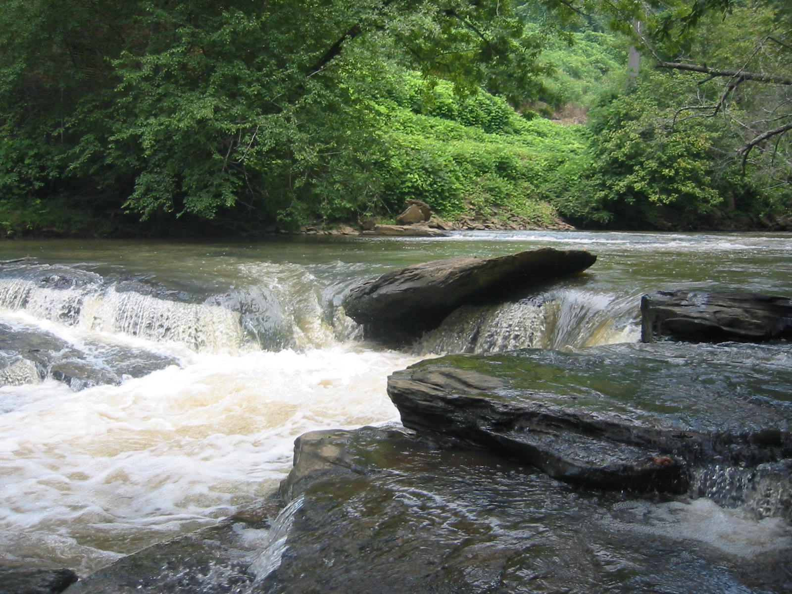
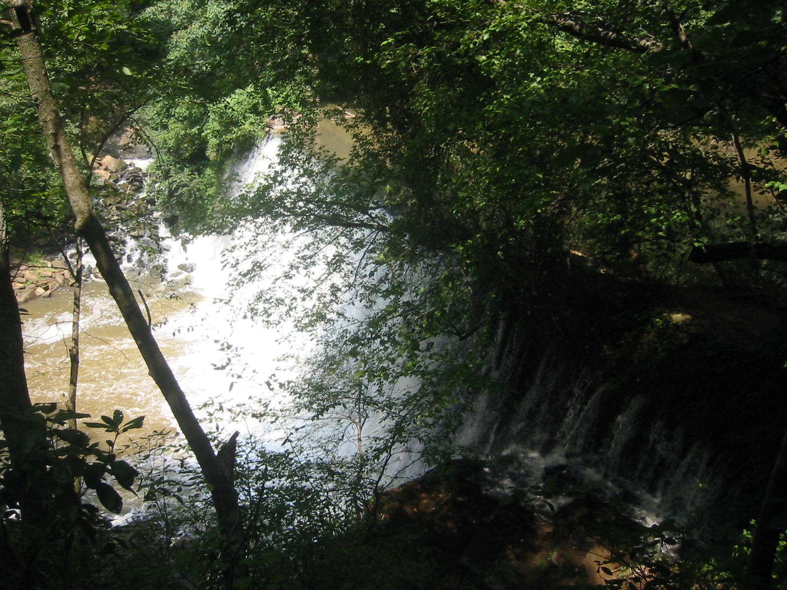
Vickery Creek Falls is one of Roswell’s most-visited and most-photographed locations. Created as Vickery Creek Dam to help power the Roswell Mill, this now-famous waterfall is surrounded by hiking trails and years of history. Find Vickery Creek Falls at Old Mill Park. “Vickery Creek is named after a Cherokee woman named Sharlot Vickery who lived in present-day Roswell and owned much of the land around the creek. The creek was originally called Cedar Creek; however, the name was changed to Vickery some time after the arrival of Roswell King and family in 1834.” The creek also became known as Big Creek at some point after the American Civil War.
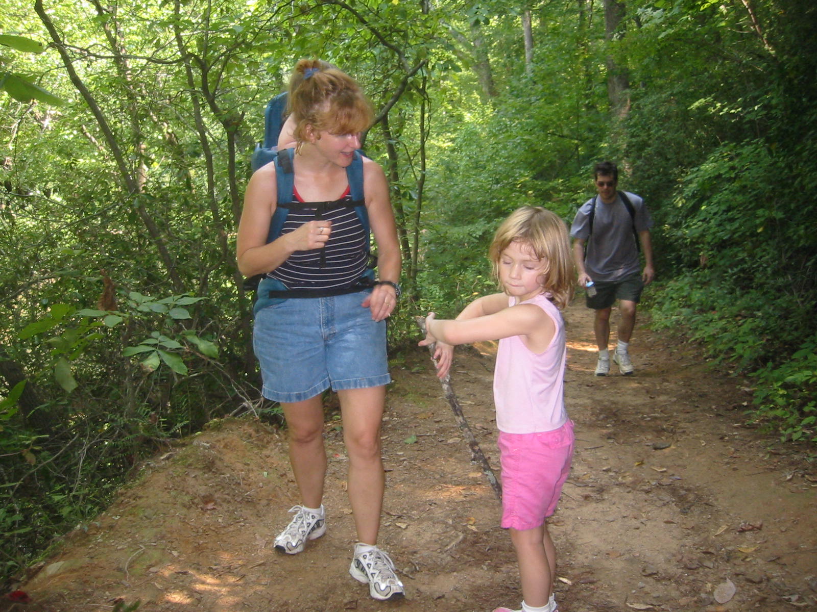
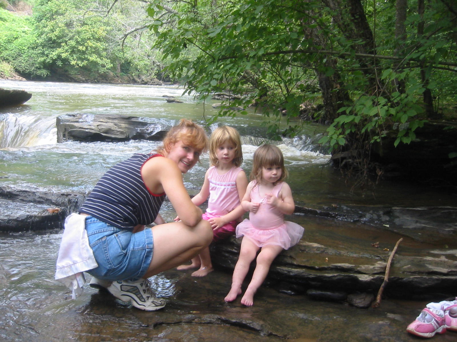
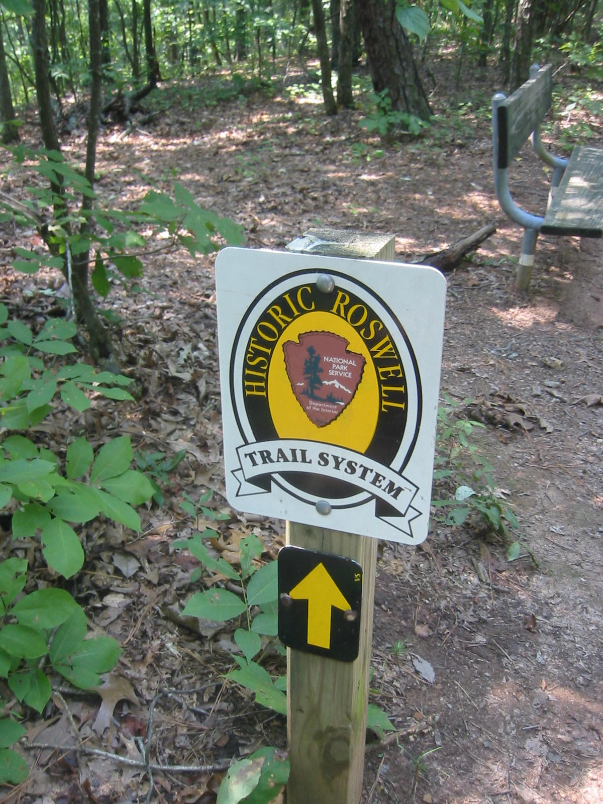
This short in-out, backtrack hike starts just off Riverside Road in Roswell and climbs over a series of short ridges then descends to a made-made waterfall that was once the site of an old mill. The ruins of the 19th century mill can be seen along the creek a short distance from the mill managers house at Allenbrook (which still stands today). About 0.3 miles downstream from the waterfall is a covered bridge that offers spectacular views up and down Vickery Creek. Hikers of all skill levels will enjoy this moderate terrain, and a more challenging route can be planned by following the Yellow and Red trails which make a wide loop in the northern and eastern sections of the park.
- click to view a trip report for this hike in historic Roswell, Georgia: September 4, 2006 (password required)
- click for a trail map of Vickery Creek in the Chattahoochee National Park
- click for a topographical map of the trails at Vickery Creek
- click to see a map of all the parks in the City of Roswell
- click to see another hike to Vickery Creek from the Roswell Mill in January 2022
- click to see a hike to the Roswell Mill from Riverside Road in September 2006
- click to access the trailbook Best Hikes Near Atlanta which has more hikes around the City of Atlanta
- click to access the guidebook Hiking Georgia which has more hikes in Georgia
- click for more Georgia hiking and backpacking books