Tray Mountain
Chattahoochee-Oconee National Forests
1755 Cleveland Highway
Gainesville, GA 30501
770 297-3000
The Chattahoochee National Forest is one of two National Forests in the State of Georgia, and it takes its name from the Chattahoochee River whose headwaters begin in the North Georgia mountains. The River and the area were given the name by the English settlers who heard it from the Indians that once lived here. The Chattahoochee National Forest was created when the Forest Service purchased 31,000 acres in Fannin, Gilmer, Lumpkin and Union Counties from the Gennett family in 1911 for $7.00 per acre. In the beginning, the Chattahoochee was part of the Nantahala and Cherokee National Forests in North Carolina and Tennessee, but eventually the Forest Service made additional land purchases and expanded the Chattahoochee to its current size of nearly 750,000 acres.
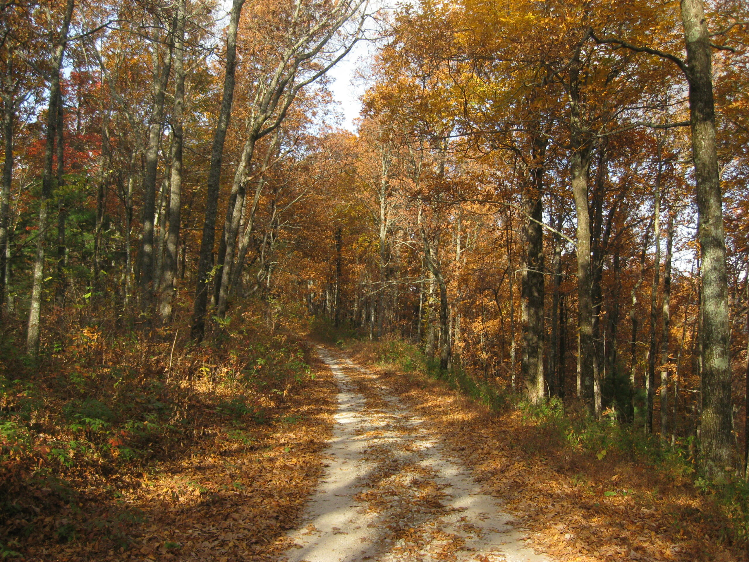
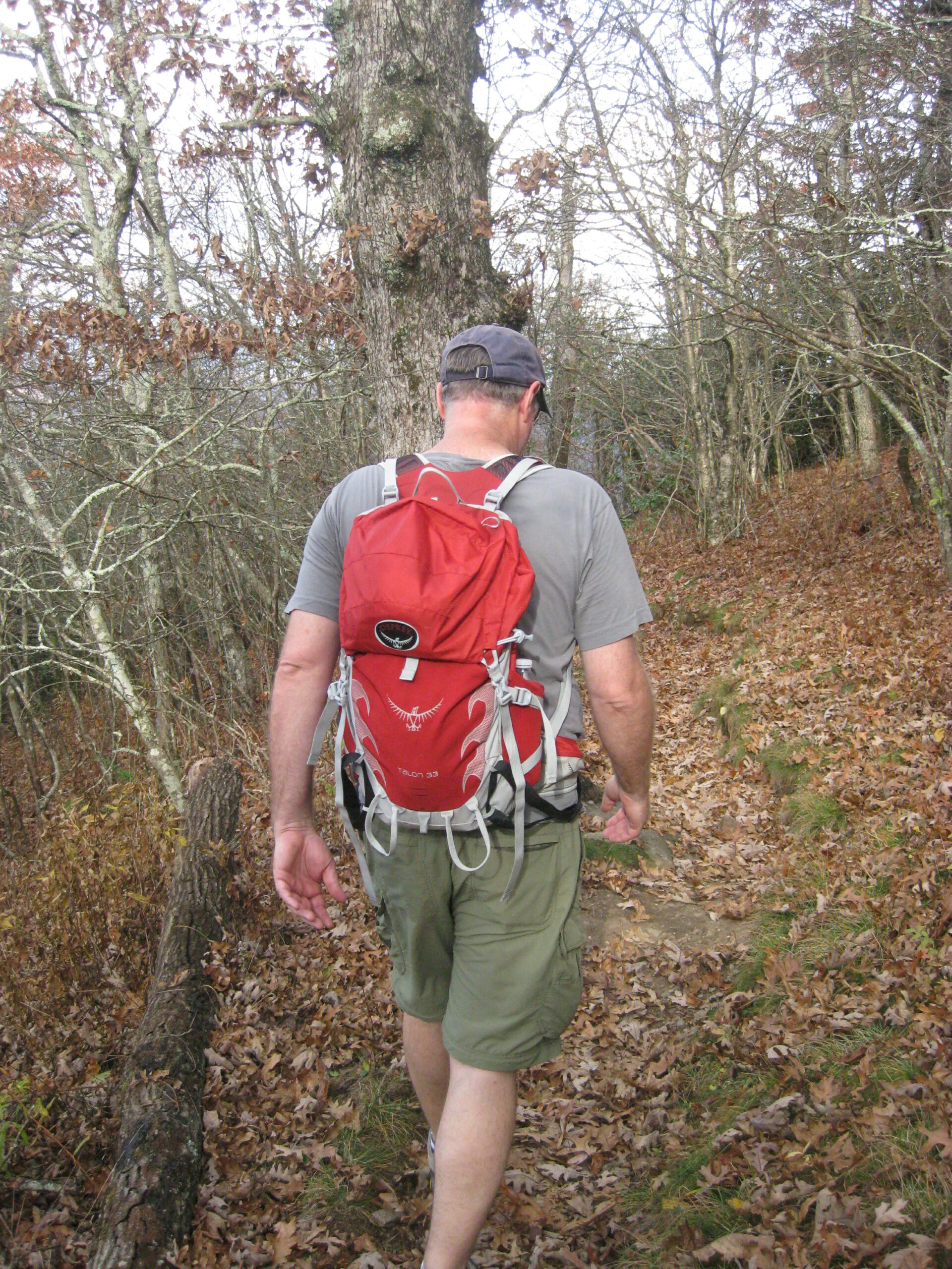
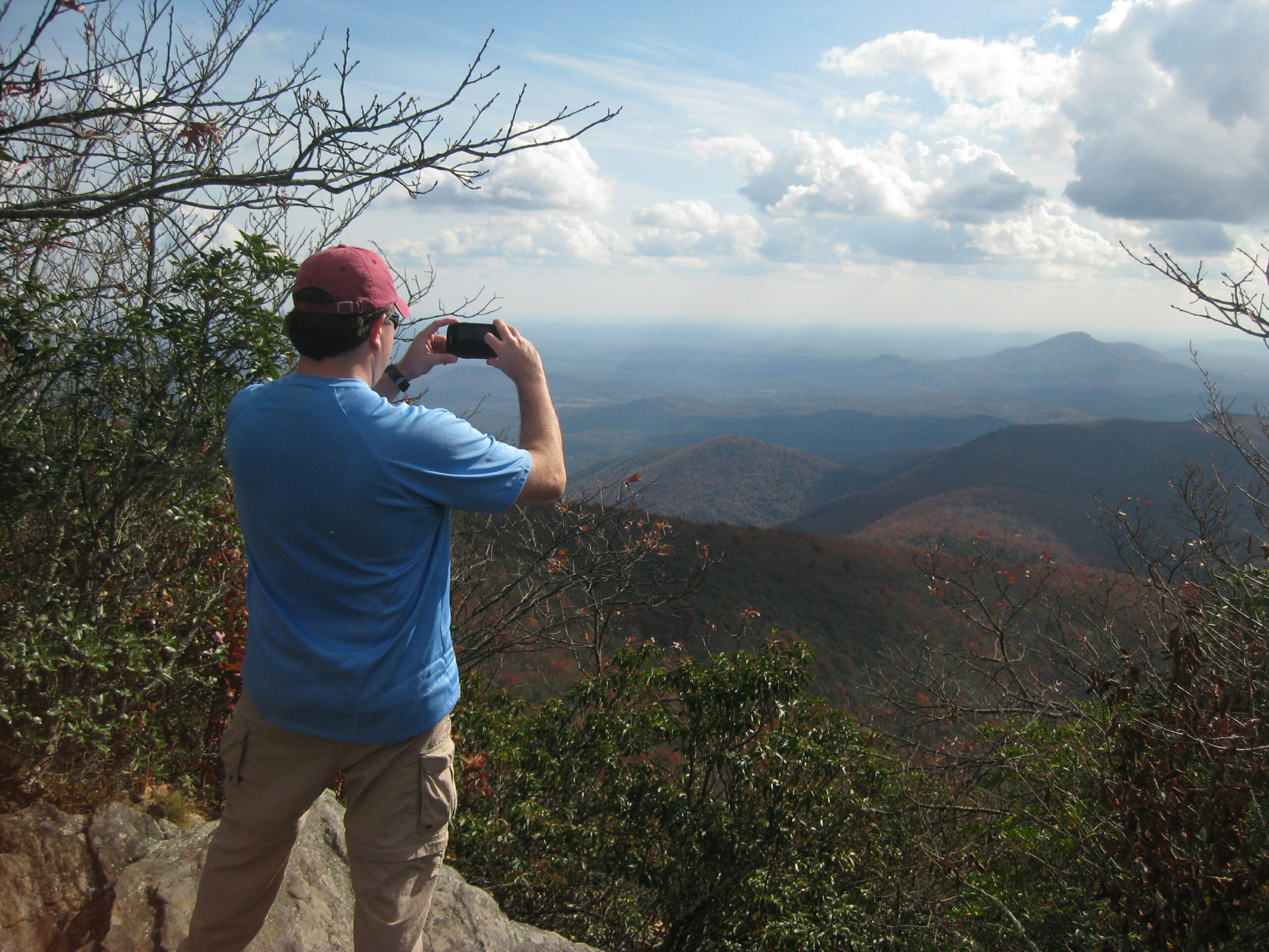
Tray Mountain, with an elevation of 4,430 feet, is the seventh-highest peak in Georgia. The summit is located a short distance from Helen and serves as the boundary between White and Towns counties. The summit is located in the Tray Mountain Wilderness within the borders of the Chattahoochee National Forest and has limited views to both the north and south from a narrow clearing on the mountain. We started our hike to Tray Mountain from U.S. Forest Road 79 along the Appalachian Trail in Tray Gap at 3,847 feet. From here it’s a short but steep 600 foot climb to the summit. For backcountry campers, continue on for less than a mile where there is water, a shelter, and some flat areas for camping at the nearby shelter, just 0.2 miles off the A.T. on a blue blazed side trail.
- click for more photos from this backpacking trip to Tray Mountain: October 26, 2012 (password required)
- click for a trip report from this hike on the Appalachian Trail: October 26, 2012 (password required)
- click for a Trails Illustrated map for this hike to Tray Mountain
- click for a Tray Mountain topographical and profile map (password required)
- click for an ATC trail map from Chattahoochee Gap to Addis Gap (password required)
- click for an ATC profile map from Tray Mountain to Sassafrass Gap (password required)
- click for a Georgia Appalachian Trail overview map (password required)
- click for a Georgia Appalachian Trail profile map (password required)
- click for another hike to Tray Mountain in November 2015
- click for the guidebook Appalachian Trail: Georgia-North Carolina which has details on this destination
- click for more information on the Appalachian Trail
- click for Appalachian Trail hiking and backpacking books