Tray Gap
Chattahoochee-Oconee National Forests
1755 Cleveland Highway
Gainesville, GA 30501
770 297-3000

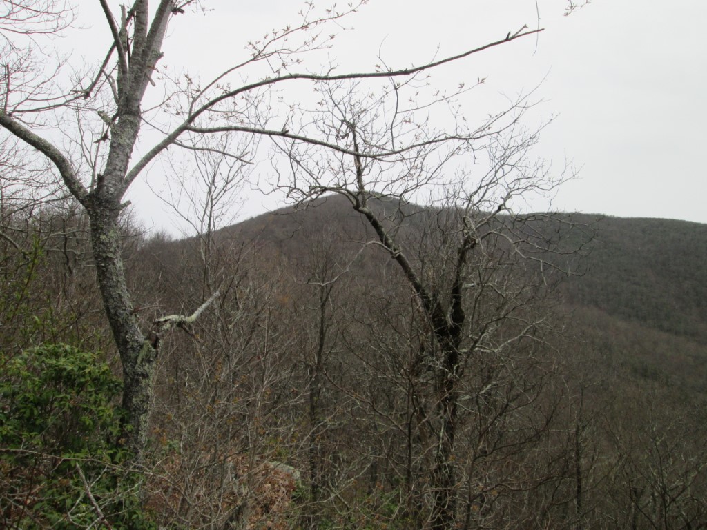
Tray Gap, with an elevation of 3,847 feet, is located on Forest Road 79 and is a short distance from Tray Mountain which marks the the boundary between White and Towns counties. Tray Gap is located in the Tray Mountain Wilderness within the borders of the Chattahoochee National Forest and has limited views to the south from a narrow ridge just South on the Appalachian Trail.
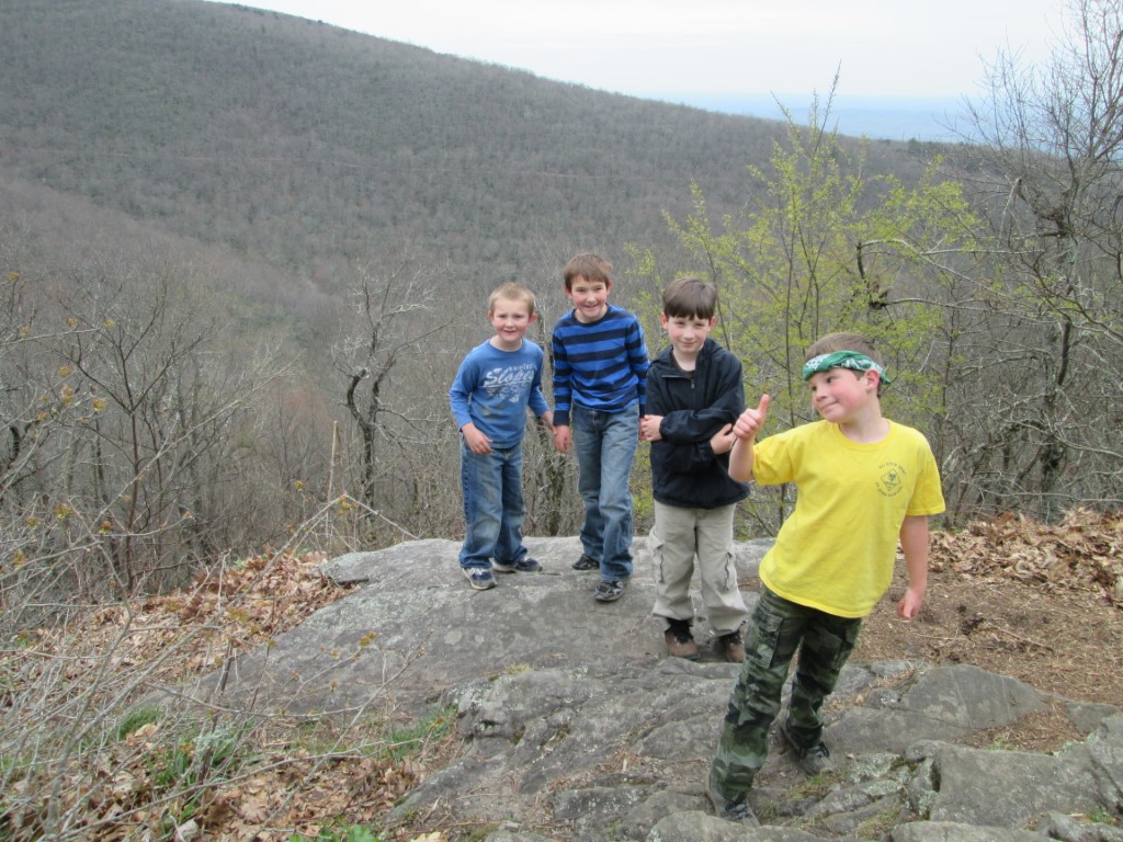
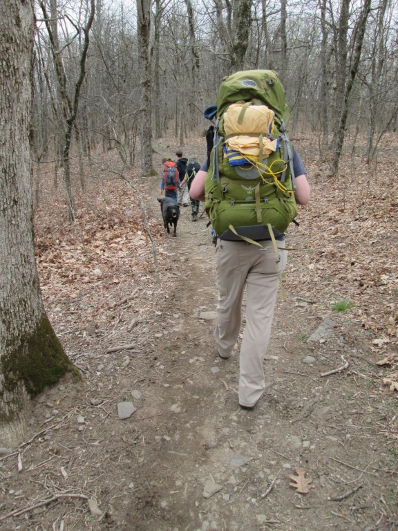
We started our hike from Tray Gap at U.S. Forest Road 79 along the Appalachian Trail and hiked southbound to a small campsite along the ridge. For day hikers, there is a nice view here from a rock outcropping. For backcountry campers, there is a small campsite or you can hike the A.T. about 0.7 miles from the gap to the “Cheesecake Factory” which is a designated campsite with a water source.
- click for videos of our oasis in the monsoon and a video of us going muddin’
- click for a photo journal from this camping trip near Tray Gap: April 18, 2014
- click for more photos from this backpacking trip near Tray Mountain: April 18, 2014
- click for a trip report from this hike along the Appalachian Trail: April 18, 2014 (password required)
- click for a Trails Illustrated map of this hike to Tray Mountain
- click for a Tray Mountain topographical and profile map (password required)
- click for an ATC trail map from Chattahoochee Gap to Addis Gap (password required)
- click for an ATC profile map from Unicoi Gap to Tray Mountain (password required)
- click for an ATC profile map from Tray Mountain to Sassafrass Gap (password required)
- click for a Georgia Appalachian Trail overview map (password required)
- click for a Georgia Appalachian Trail profile map (password required)
- click for the guidebook Appalachian Trail: Georgia-North Carolina which has details on this destination
- click for more information on the Appalachian Trail
- click for Appalachian Trail hiking and backpacking books