Springer Mountain (via Nimblewill Gap)
Chattahoochee-Oconee National Forests
1755 Cleveland Highway
Gainesville, GA 30501
770 297-3000

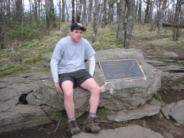
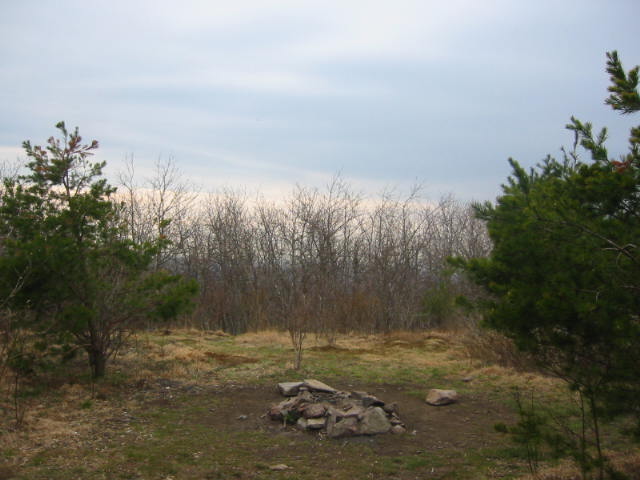
Springer Mountain (3,782 feet) is located deep within the Chattahoochee National Forest and is the summit of the iconic southern terminus of the Appalachian Trail. This remote peak is famously marked by a bronze plaque depicting a northbound hiker and the trail’s very first white blaze – signifying the start of a 2,190-mile journey to Maine on the A.T.. Every spring, between 2,000 and 3,000 thru-hikers congregate here to sign the official trail register housed in a stone vault behind the plaque and they officially begin a trek through the rugged North Georgia wilderness headed for Mt. Katahdin in the northeast.
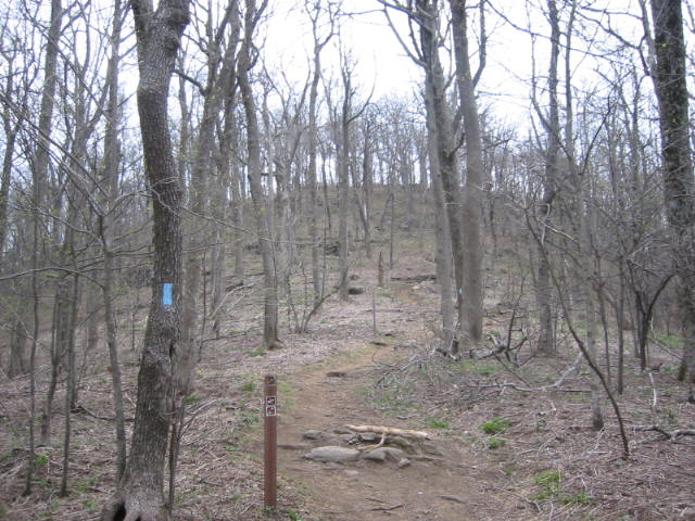
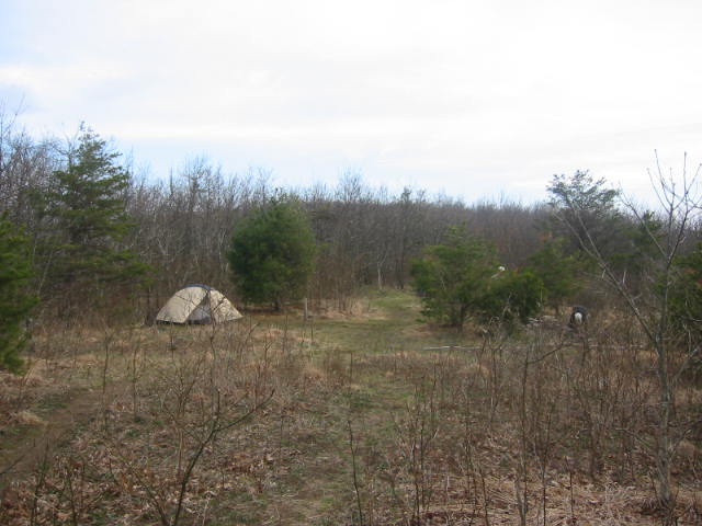
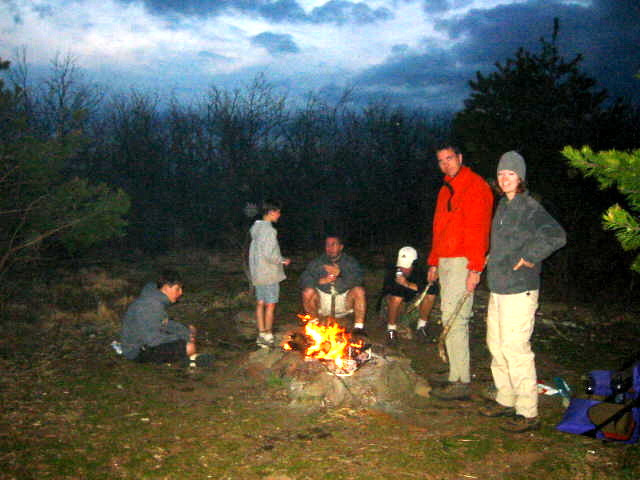
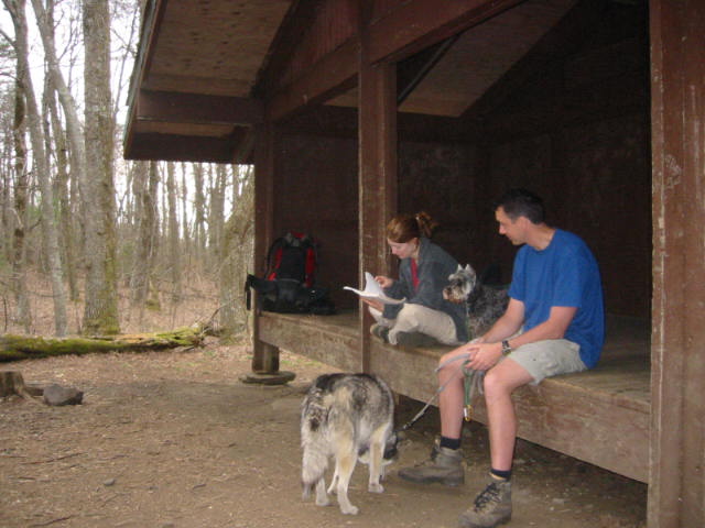
There are no paved roads that lead directly to Springer Mountain. Most hikers choose the grueling 8.8-mile Approach Trail from Amicalola Falls State Park, while some seek a shorter route from the USFS Road 42 parking area for a roughly one-mile trek to the peak. Another notable path ascends the summit from Nimblewill Gap, offering a gradual climb that passes the Black Mountain Shelter. Regardless of the route, the mountain provides a scenic sanctuary of hardwoods and high-altitude views that define the beginning of one of the world’s most famous long-distance footpaths. On this hike, we approached Springer Mountain from Nimblewill Gap at USFS 28 and made a gradual climb to the summit passing the Black Mountain Shelter on the way at 3410 feet.
- click for a trip report from this backpacking trip to Springer from Nimblewill Gap: April 10, 2004 (password required)
- click for a detailed trip report from this hike on the Approach Trail: April 10, 2004 (password required)
- click for a Trails Illustrated map of this area between Amicalola Falls & Springer Mountain
- click for a topographical map of the hike from Nimblewill Gap to Springer Mountain (password required)
- click for a profile map of this section of the Approach Trail starting at Nimblewill Gap (password required)
- click for a topographical map of the Springer Mountain area (password required)
- click for a topographical map of the Approach Trail to Springer Mountain (password required)
- click for a profile map of the Approach Trail from Amicalola Falls to Len Foote Inn (password required)
- click for a profile map of the Approach Trail from Amicalola Falls to USFS 42 (password required)
- click for an ATC trail map from Amicalola Falls to Three Forks (password required)
- click for an ATC profile map from Amicalola Falls to Springer Mountain (password required)
- click for a Georgia Appalachian Trail overview map (password required)
- click for a Georgia Appalachian Trail profile map (password required)
- click for more hikes to Springer Mountain from Nimblewill Gap and USFS 28
- click for more hikes to Springer Mountain and the start of the Appalachian Trail
- click for more information on the Appalachian Trail
- click for the guidebook Appalachian Trail: Georgia-North Carolina which has details on this area