Amicalola Falls
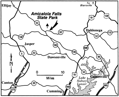
Amicalola Falls State Park
418 Amicalola Falls Road
Dawsonville, GA 30534
(706) 344-1500

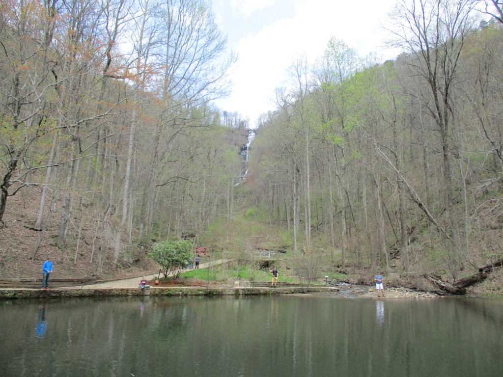
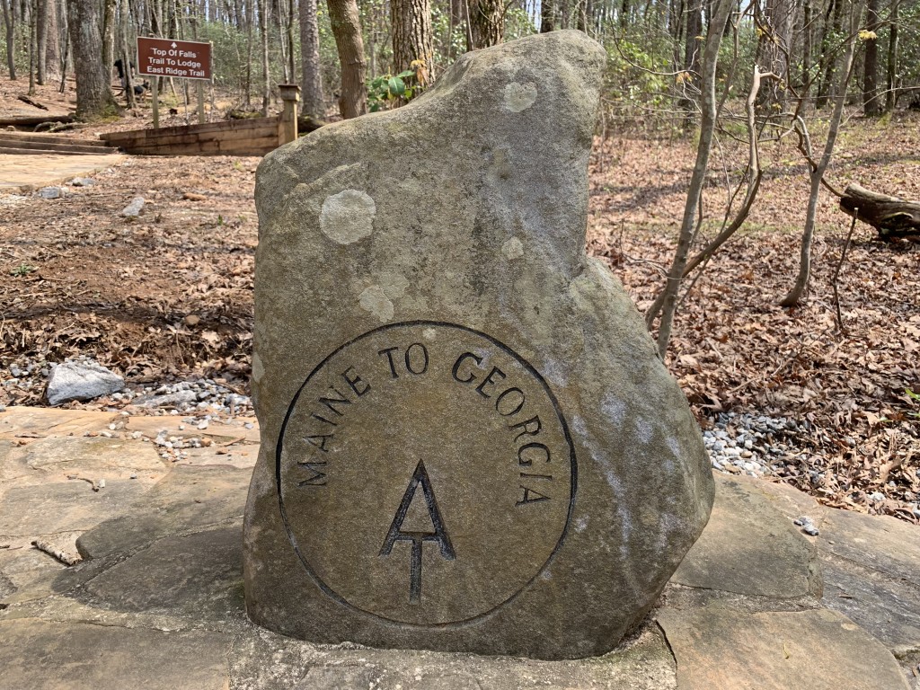
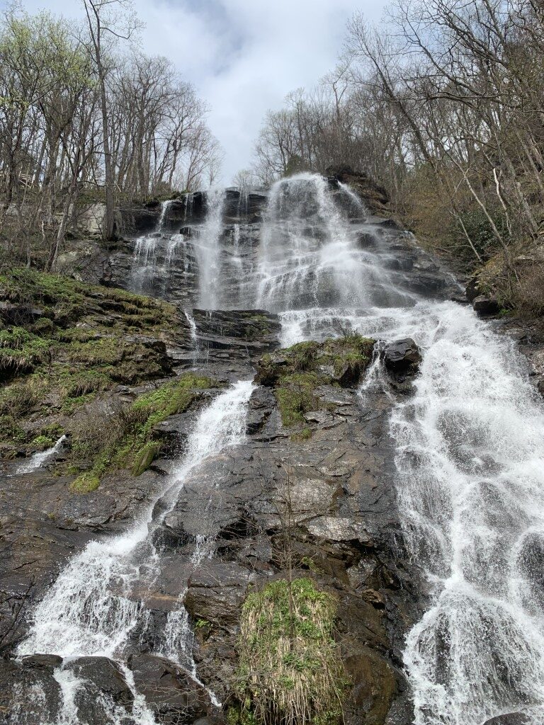
Amicalola Falls State Park is a beautiful natural area in Dawsonville, Georgia that is best known for Amicalola Falls – the tallest waterfall in Georgia at 729 feet. The park is a popular destination for hiking, camping, and outdoor adventures and it offers stunning mountain views and access to the southern terminus of the Appalachian Trail at Springer Mountain. The park has a mountaintop lodge, cabins, and camping options for overnight stays and has hiking trails including the Amicalola Falls Trail, which leads to the top of the falls, and the Appalachian Approach Trail which leads to Springer Mountain.
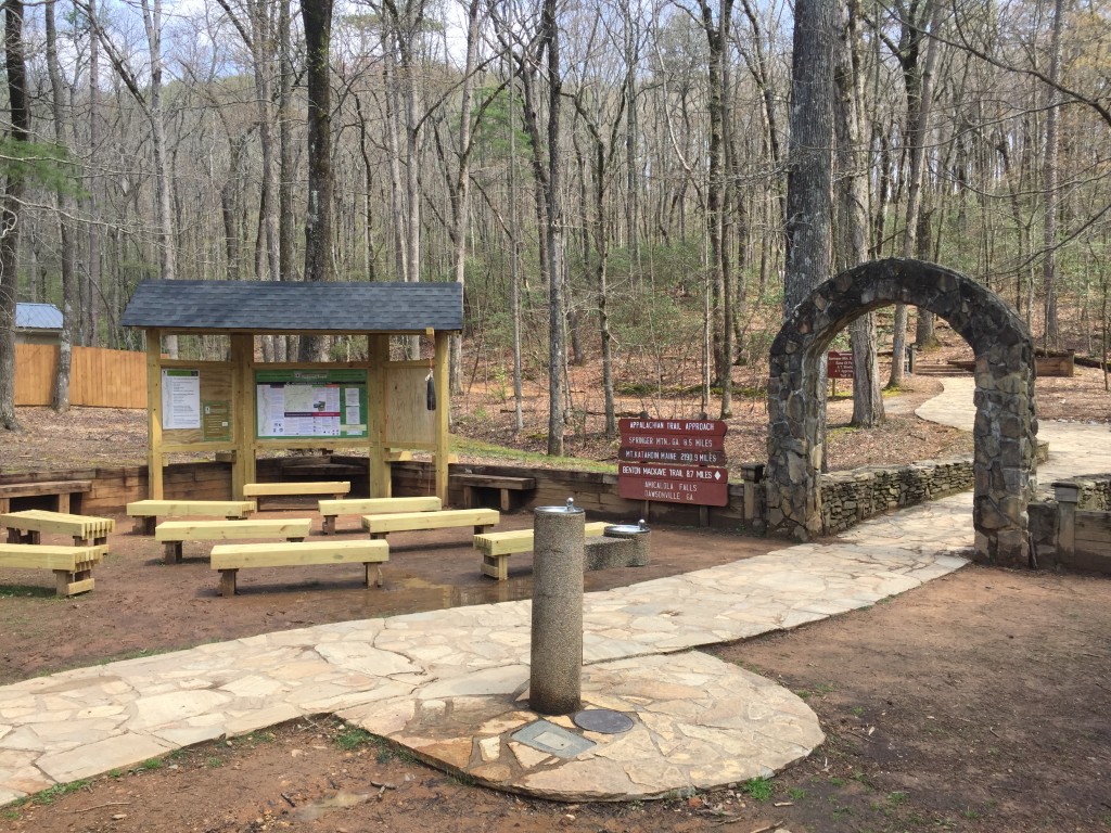
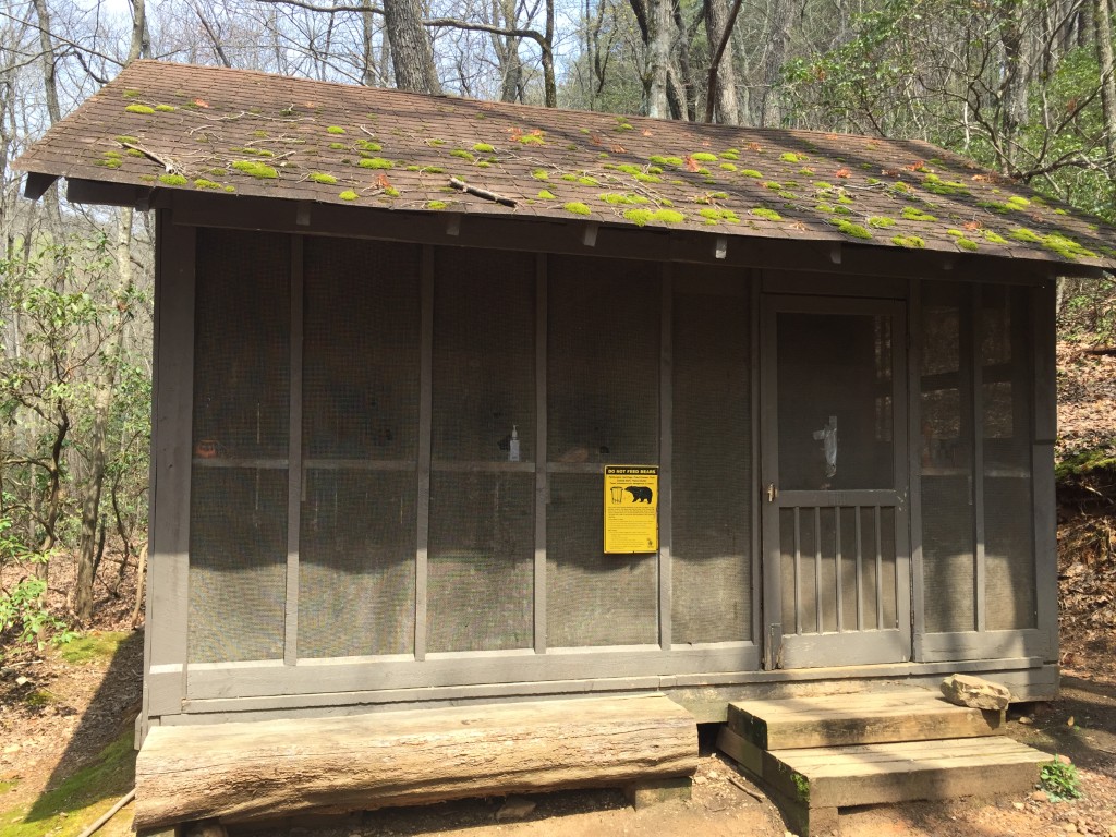
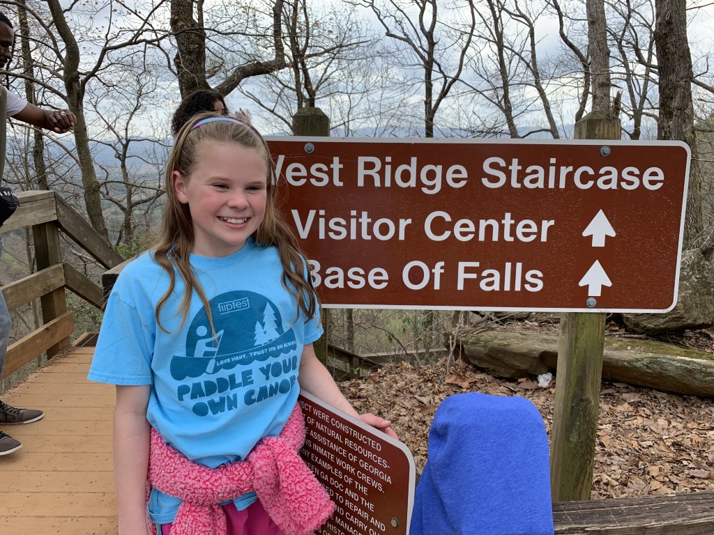
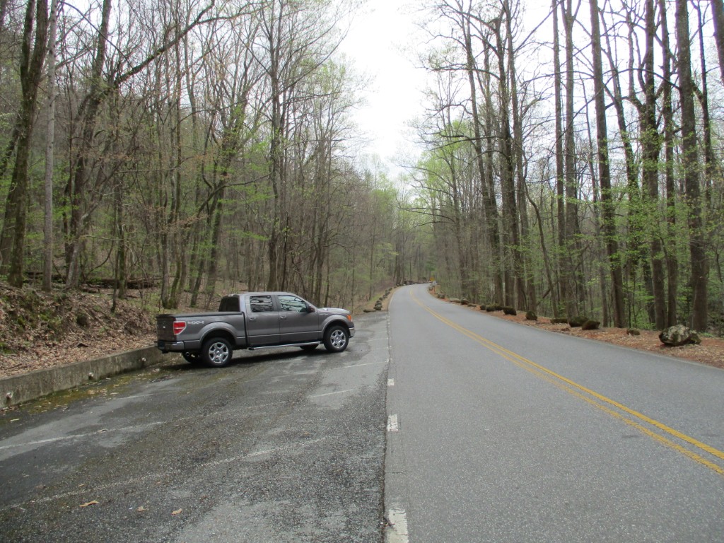
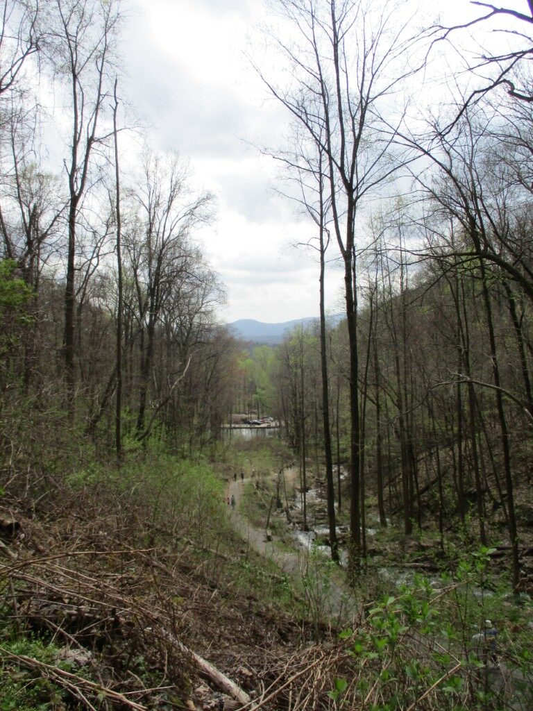
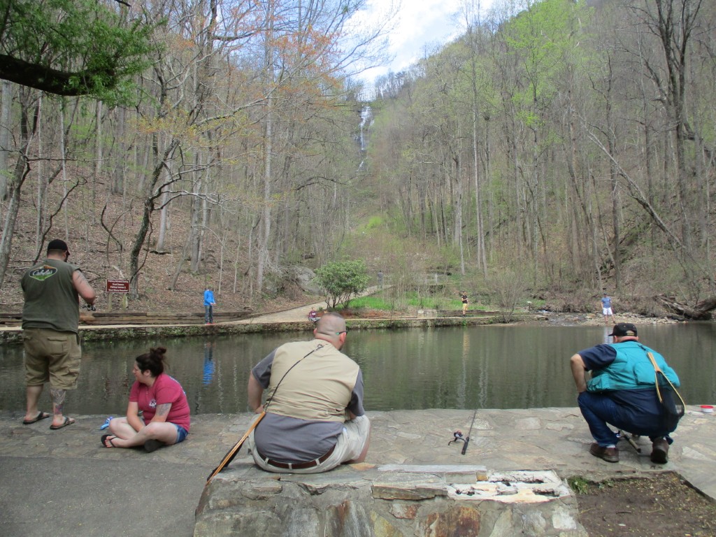
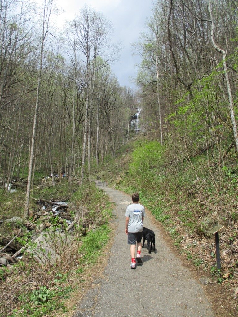
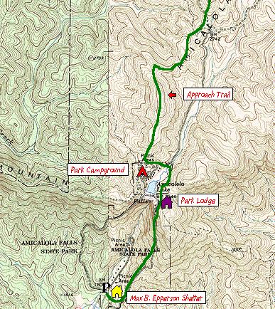
This hike to Amicalola Falls starts at the visitor’s center and ascends ~800 feet to the top of the falls after 1.5 miles. A portion of the 8.1 mile Approach Trail is used for this hike which provides access to the start of the Appalachian Trail at Springer Mountain. Start at the back of the visitor’s center and walk through a large archway following the blue blazes. The Approach Trail intersects with a large parking area after a mile where there is a small pond at the base of the falls. Continue climbing along a paved path then over a series of stairs and bridges to cross the falls and eventually reach a platform near the top of Amicalola Falls. The park lodge is ahead to your right. You can either park a car at the top of the falls and shuttle back to the visitor’s center, or turn around and hike back down to the base of the mountain. Either way the falls are an impressive sight and well worth the trip.
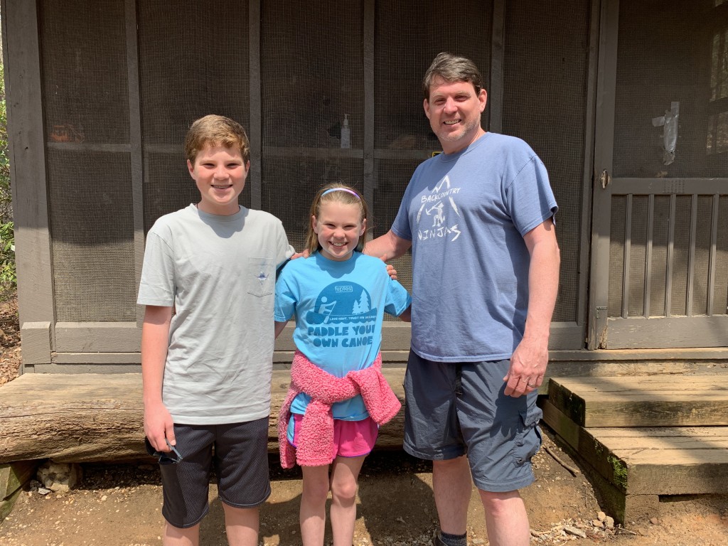
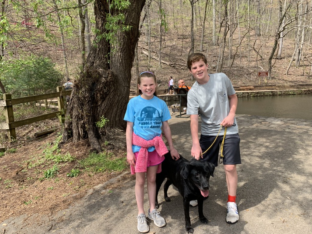
- click for a photo journal of my 25th anniversary hikes on the Appalachian Trail
- click for a trip report from this day hike to Amicalola Falls: April 7, 2019 (password required)
- click for a Trails Illustrated map of this area between Amicalola Falls & Springer Mountain
- click for a topographical map of this hike at Amicalola Falls State Park (password required)
- click for a topographical map of the Approach Trail to Springer Mountain (password required)
- click for a profile map of the Approach Trail from Amicalola Falls to USFS 42 (password required)
- click for an ATC trail map from Amicalola Falls to Three Forks (password required)
- click for an ATC profile map from Amicalola Falls to Springer Mountain (password required)
- click for a Georgia Appalachian Trail overview map (password required)
- click for a Georgia Appalachian Trail profile map (password required)
- click for a hike to the nearby Frosty Mountain in November 2020 and December 2021
- click for more information on the Appalachian Trail
- click for Appalachian Trail hiking and backpacking books
- click to access the guidebook Appalachian Trail: Georgia-North Carolina which has details on this destination
- click for other Georgia hiking and backpacking books