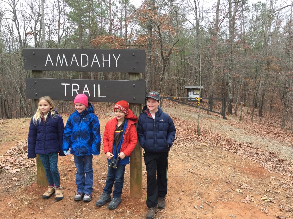
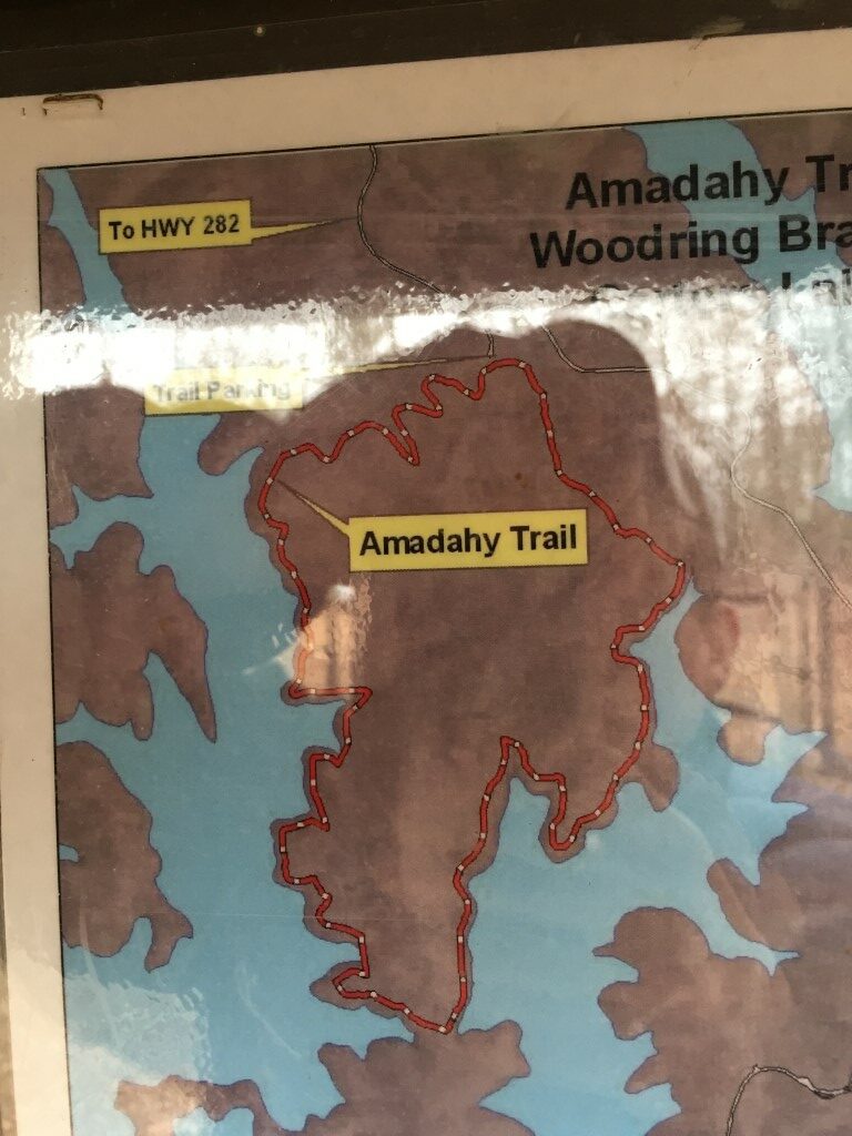
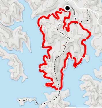
Amadahy Trail
US Army Corps of Engineers
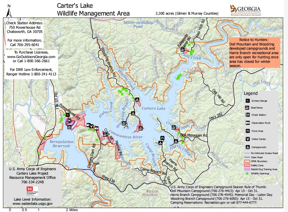
Carters Lake
P.O. Box 96
Oakman, GA 30732-0096
Phone: (706) 334-2248

Carters Lake is a man-made reservoir located on the Coosawattee River in the Blue Ridge Mountains in Gilmer and Murray counties in the U.S. state of Georgia. Carters Lake has 62 miles of shoreline and an average depth of 200 feet with a maximum depth of 450 feet. It is the state’s deepest lake. Amadahy is a Cherokee word meaning “forest water”, and the lake is named after Farrish Carter who owned property in this area in the 1800’s,. The US Army Corps of Engineers now manages the area, however, and the dam that creates Carter Lake is the tallest earthen dam east of Mississippi River.
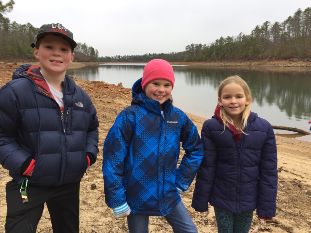
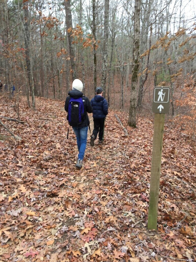
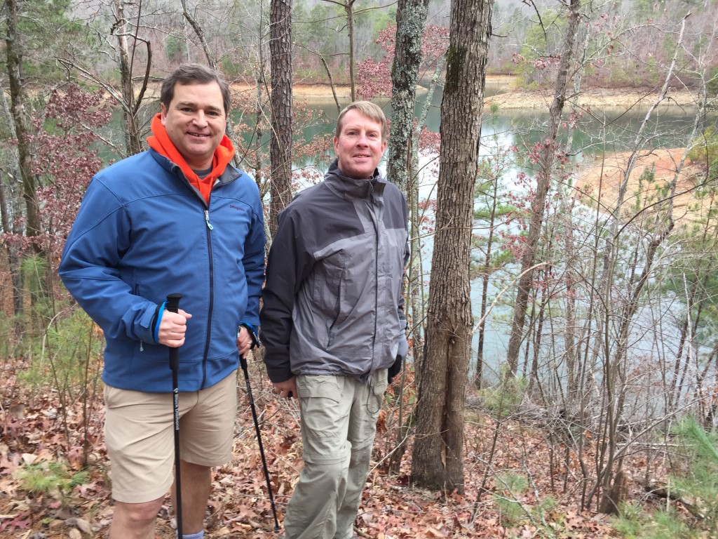
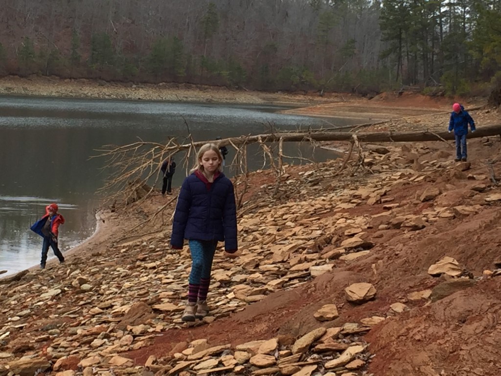
This is a loop hike near Ellijay, GA that mostly follows the shoreline of Carter’s Lake. There isn’t a lot of elevation change on the trail, so it is a great hike if you are looking for a leisure walk with occasional views from the shoreline and across the water. Mountain bikers are also permitted to use this trail – so don’t be surprised to see them while you are hiking.
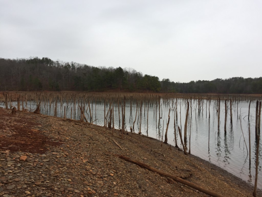
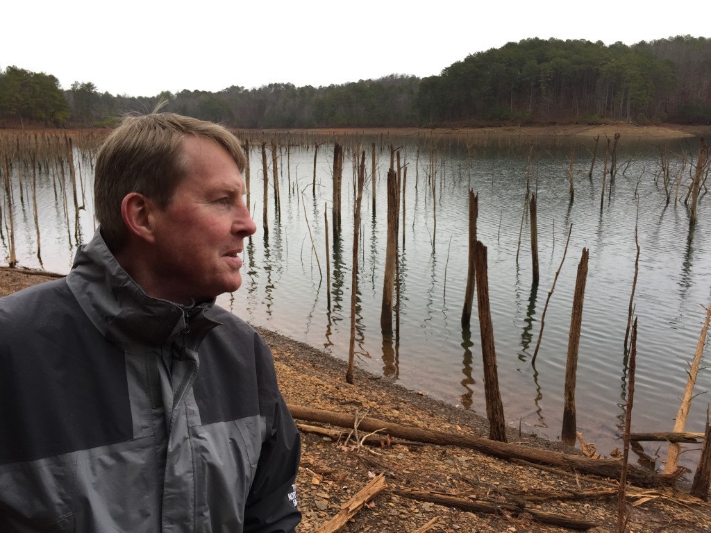
- click to see flooded and dead trees along the shoreline of the Amadahy Trail
- click to see a movie of our New Year’s Hikes from 2004-2020 (password required)
- click for a trip report from this walk along Carter’s Lake: December 31, 2016 (password protected)
- click for a map of the Carter’s Lake Wilderness Management Area (password protected)
- click to view a topographical and profile map of this hike on the Amadahy Trail (password protected)
- click for a map of more hikes around Carters Lake (password protected)
- click for more New Years hikes that we did between 2004-2020 (password protected)
- click to access the guidebook Hiking Trails Of The Cohutta & Big Frog Wilderness which has more trails in this area
- click for other Georgia hiking and backpacking books