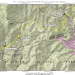
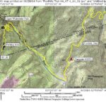
Foothills Trail (Laurel Valley to Upper Whitewater Falls)
Foothills Trail Conference
P.O. Box 3041
Greenville, SC 29602
864.467.9537
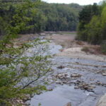
The main stem of this nearly 100 mile long hiking trail extends from Table Rock State Park in Pickens County, to Oconee State Park in Oconee County. The trail crosses some of the most rugged and beautiful terrain in the Southeast and provides access to Sassafrass Mountain, the highest peak in South Carolina, and to major mountain streams and breathtaking views.
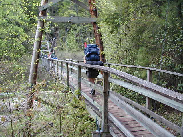
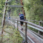
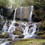
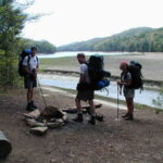
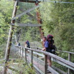
The section of the trail from Laurel Fork Creek to the Whitewater River is often referred to as the Gorges Section and was initially built and maintained by Duke Power Company as part of a licensing agreement for the construction of Lake Joccasee. Both State and Federal agencies have taken over management responsibilities in recent years, and this section of South Carolina has some of the best backcountry wilderness in the Southeast. We spent four days hiking this section and passed many waterfalls and crossed some impressive suspension bridges during our trip. The Foothills Trail Conference has a detailed guidebook for the area, and has done a magnificent job with maintenance of the trail.
- click to see more photos from this hike on the Foothills Trail: April 14, 2001
- click for a detailed trip report of backpacking in the Gorges Area: April 14, 2001 (password required)
- click for an overview map of the Foothills Trail (password required)
- click to buy the official Foothills Trail map from the Foothills Trail Conference
- click for a topographical & profile map of the entire Foothills Trail (password required)
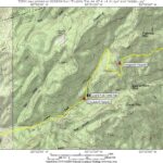
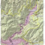
- click for a topo map from day one, day two, day three, and day four of this section A4 to A8,
- click for a profile map of this section from Laurel Valley to Whitewater Falls (password required)
- click to buy a guidebook on the Foothill Trail
- click for more information on the Foothills Trail
- click for Foothills Trail hiking and backpacking books
- click for South Carolina hiking and backpacking books
- click for other hikes on the Foothills Trail in South Carolina
