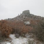
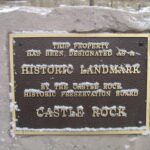
Castle Rock
Location: Central Colorado
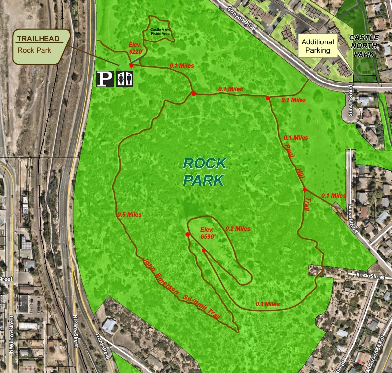
Trip Starts: Front Street
Trip Ends: Front Street
Total Distance: 1.4 miles
Hike Type: In & Out, Backtrack Hike
Hike Difficulty: Easy to Moderate
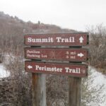
Trails Used: John Emerson Summit Trail
Trail Traffic: Light to Moderate
Trip Type: Day Hike
More Information:
Castle Rock Park
1710 Front Street
Castle Rock, CO 80104
parks@CRgov.com
720-733-2260

Highlights:
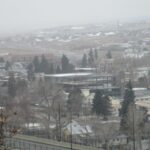
The Town of Castle Rock (6,224 feet) is located right off I-25 and in between the Cities of Denver and Colorado Springs. The town is named after a castle tower-shaped butte that is located in Castle Rock Park just north of downtown. They City was originally settled by white settlers that were seeking gold, but when land opened up through the Homestead Act of 1862 – the discovery of rhyolite stone and not gold ultimately led to the settlement of Castle Rock.
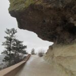
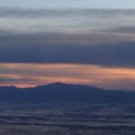
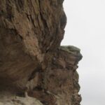
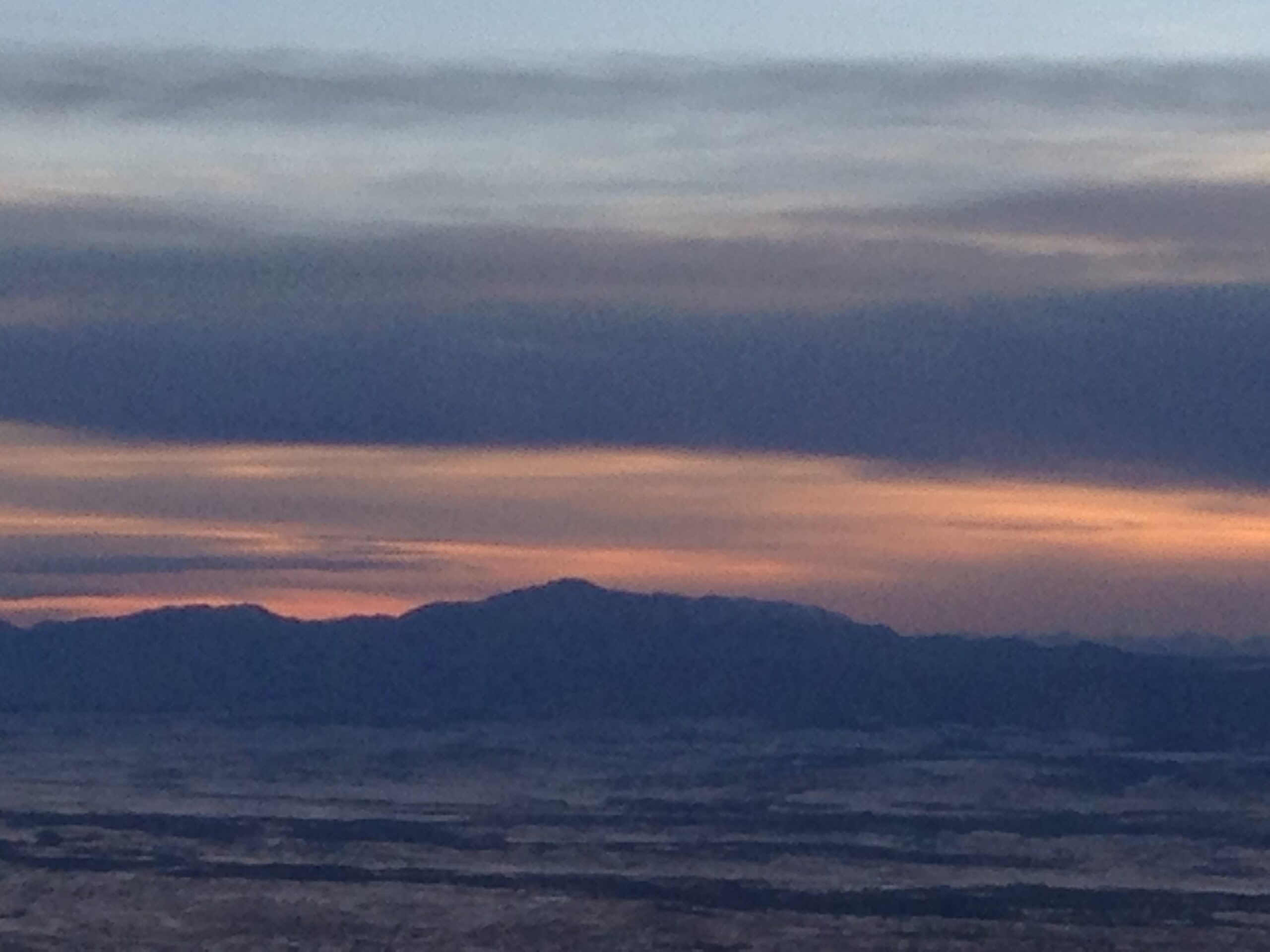
This is a short hike in Castle Rock that has outstanding views of the town and of the mountains to the West. You can hike to “The Rock” and walk around the base of the butte or if you are feeling adventurous scramble to the top where there is both a star and a flagpole. The hike is an easy to moderate climb to the base of Castle Rock but it is very difficult if you plan to climb to the top. There is a 370-foot elevation difference of 6,220 feet at the bottom to 6,590 feet at the summit. From the Castle Rock, there are outstanding 360 degree views of land that was once home to the Arapaho and Cheyenne tribes that lived between the Arkansas and South Platte Rivers.
More Details:
- click for photos from this winter day hike in Castle Rock, Colorado: December 12, 2015
- click for a trip report of this hike on the John Emerson Summit Trail: December 12, 2015 (password protected)
- click for a trail map and brochure of this hike at Rock Park (password protected)
- click for a topo and profile map of this hike on the John Emerson Summit Trail (password protected)
- click for another hike to Castle Rock in August 2016
- click for a backpacking trip in the nearby Vail backcountry in July 2000
- click for another hike we did in the Rocky Mountains at Copper Mountain in September 2023
- click for Hiking Colorado: A Guide To The State’s Greatest Hiking Adventures (State Hiking Guides Series)
- click for more hikes in the State of Colorado
Photos:


Maps:

GPS Coordinates: