Rabun Bald (via Hale Ridge Road)
Chattahoochee-Oconee National Forests
1755 Cleveland Highway
Gainesville, GA 30501
770 297-3000
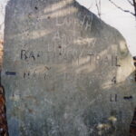
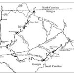
The Bartram Trail is a national recreation trail that travels across the mountains of South Carolina, Georgia, and the Nantahala National Forest in North Carolina. The trail is named after William Bartram, a naturalist who roamed the southern woods in 1775. He studied plants and animals and recorded his findings in a journal published as The Travels of William Bartram. The trail is blazed in yellow on the Chattahoochee National Forest, and it stretches for thirty-six miles in the state of Georgia. (For more information, you can visit the Bartram Trail Society website. Its members volunteer for trail development, construction, maintenance and repair.)
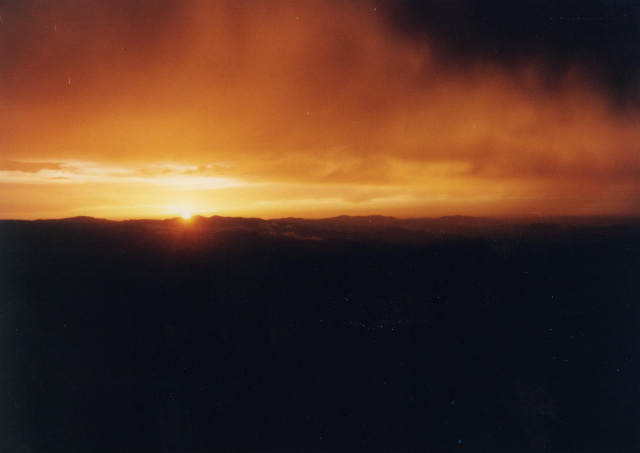
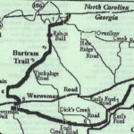
This section of the Bartram Trail heads northbound from Rabun Bald (4,696 feet) to the Georgia and North Carolina border at Hale Ridge Road. From Rabun Bald, the trail descends to Beegum Gap, continues a few miles through a hardwood forest and crosses a short bridge near a small waterfall about one mile from Hale Ridge Road. This is the end of the Bartram Trail in Georgia, and from here it climbs a ridge and enters the Nantahala National Forest in North Carolina. I hiked this section of the Bartram Trail twice in 1997, and both times we had sunny skies with warm temperatures followed by heavy thunderstorms and intense lightening. I highly recommend avoiding Rabun Bald in these conditions. To start the hike, leave Hale Ridge Road and hike in a southwestern direction for the first few miles on the yellow blazed Bartram Trail wandering past a small waterfall after 0.3 miles and over a series of modest streams. Load up on water now, since there is none available at the summit.
- click for a Daytimer report for this hike on the Bartram Trail: July 4, 1997 (password required)
- click for a detailed trip report for this hike to Rabun Bald: July 4, 1997 (password required)
- click for an overview map of the Bartram Trail in Georgia (password required)
- click for a topographical map of the Bartram Trail in Georgia (password required)
- click for a topographical and profile map from Hale Ridge Road to Rabun Bald (password required)
- click for another topographical and profile map from Hale Ridge Road (password required)
- click for a trail map and brochure of the Bartram Trail in Georgia
- click for more information on the Bartram Trail
- click for Bartram Trail hiking and backpacking books
- click for more hikes to Rabun Bald from Rabun Gap in November 2001 and November 2002
- click for another hike to Rabun Bald from Beegum Gap in December 1997 and February 2025
- click for more hikes to Rabun Bald from Hale Ridge Road in April 1997 and July 1997
- click to access the guidebook Best Hikes With Dogs Georgia And South Carolina which has details on this destination
