Chilkoot Trail (Chilkoot Pass to Bennett Lake)
Klondike Gold Rush National Park
National Forest Service/Parks Canada
P.O. Box 517
Skagway, AK 99840
(907) 983-2921
Klondike Gold Rush National Historical Park preserves and interprets one of the most dramatic migration events in North American history — the Klondike Gold Rush of 1897–1898. When news of gold discoveries in Canada’s Yukon Territory reached the lower 48 states in 1897, tens of thousands of hopeful prospectors rushed north through the ports of Alaska and British Columbia in search of fortune. The remote boomtown of Skagway quickly became one of the primary gateways to the gold fields, transforming almost overnight from a small coastal settlement into a chaotic frontier town crowded with stampeders, outfitters, saloons, and supply companies. Today, the national historical park preserves this remarkable period through a collection of restored buildings within the Skagway Historic District, many of which date back to the height of the gold rush era. Visitors can walk wooden boardwalks past historic storefronts, hotels, and warehouses while learning about the hardships faced by the thousands of people who attempted the journey north. In addition to the historic district, the park also manages the legendary Chilkoot Trail and portions of the White Pass Trail, both of which served as major routes to the Yukon interior. Included within the park boundaries is part of the abandoned townsite of Dyea, once a bustling staging area at the base of the Chilkoot Trail before it was eventually reclaimed by the forest.
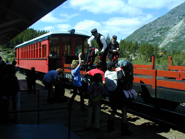
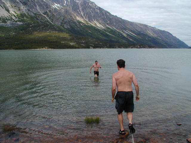
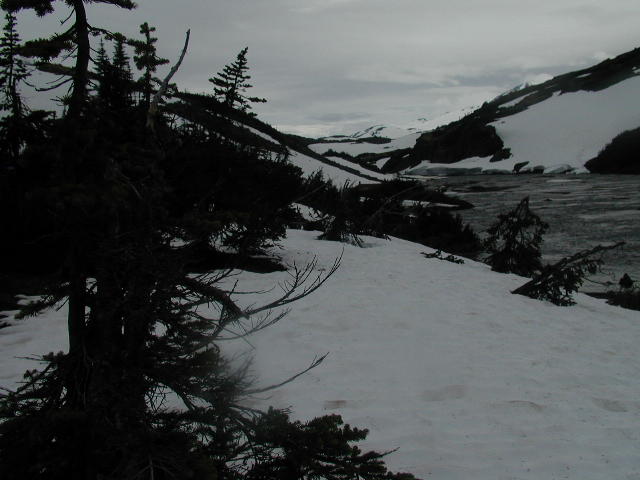
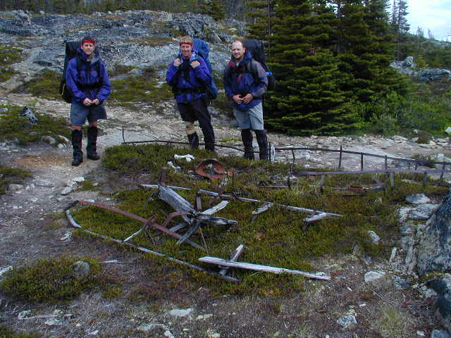
The Chilkoot Trail offers one of the most historic and visually diverse backpacking experiences in North America, following the exact route traveled by thousands of gold seekers more than a century ago. During the Klondike Gold Rush, stampeders carried nearly a ton of supplies over the rugged mountain pass in multiple trips in order to satisfy Canadian entry requirements before continuing toward the Yukon River system and ultimately the Klondike gold fields. Evidence of that difficult journey still remains scattered along the trail today, including rusted cans, broken tools, fragments of boats, and weathered remnants of campsites hidden among the landscape. The trail passes through an incredible variety of terrain over its 33-plus miles, beginning in coastal rainforest near Dyea before climbing through muddy valleys, alpine tundra, rocky passes, and glacial lakes. One of the most iconic sections is the steep ascent to Chilkoot Pass, where long lines of stampeders once climbed the “Golden Stairs” carrying heavy packs through snow and ice. After crossing into Canada’s Yukon Territory, hikers descend through a chain of pristine alpine lakes before eventually reaching Lake Bennett, where stampeders historically built boats for the long river journey north. Many modern hikers conclude the adventure by boarding the historic White Pass and Yukon Route railway back to Skagway, a spectacular train ride through mountain passes, waterfalls, and sheer cliffs that is often regarded as one of the most scenic rail journeys in the world. Although the trail is popular during the short summer hiking season and solitude can be limited, the combination of wilderness scenery, challenging terrain, and preserved Klondike history makes the Chilkoot Trail an unforgettable backcountry experience.
- click for a video from this backpacking trip in Klondike National Park.: June 29, 2001
- click for a podcast about our hike on The Chilkoot Trail near Dyea, Alaska
- click for more photos from this backpacking trip on the Chilkoot Trail: June 29, 2001
- click for a detailed trip report of this hike near Skagway, Alaska: June 29, 2001 (password required)
- click for a trip report of this hike from Dyea to Lake Bennett on the Chilkoot Trail: June 29, 2001 (password required)
- click for a Trails Illustrated map of the Chilkoot Trail and the Klondike Gold Rush National Park
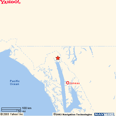
- click for a map of the town of Skagway, Alaska where you can pick up your permit for the Chilkoot Trail
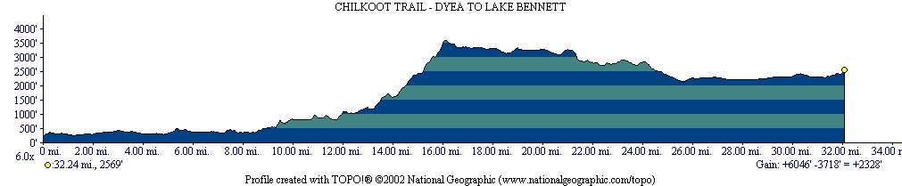
- click for a black and white trail map and a black and whilte profile map of the Chilkoot Trail
- click for a topographical and profile map of our backpacking trip on the Chilkoot Trail (password required)
- click for a color profile map of this hike from Dyea to Bennett Lake
- click for a topo map of day one of our hike from Dyea, Alaska to Canyon City on the Chilkoot Trail
- click for a topo map of day two of our hike from Canyon City to Sheep Camp
- click for a topo map of day three of our hike from Sheep Camp to the Chilkoot Pass & Happy Camp
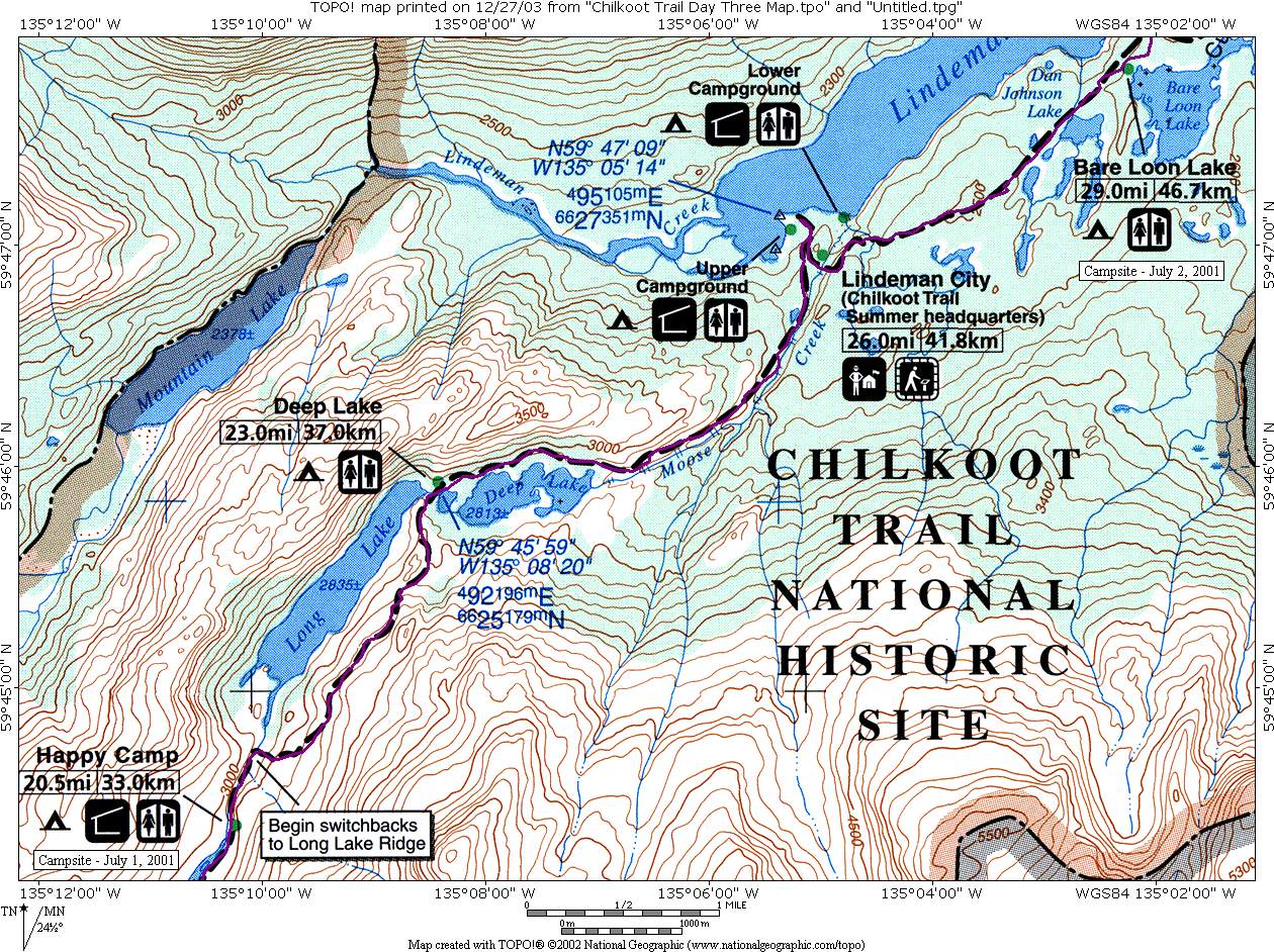
- click for a topo map of day four of our hike from the Chilkoot Pass & Happy Camp to Bare Loon Lake
- click for a topo map of day five of our hike from Bare Loon Lake to Lake Bennett
- click for another hike we did to Glacier Bay National Park on this trip
- click for the guidebook Lonely Planet: Backpacking In Alaska which has details on this area
- click for Alaska hiking and backpacking books
- click for Chilkoot Trail hiking and backpacking books