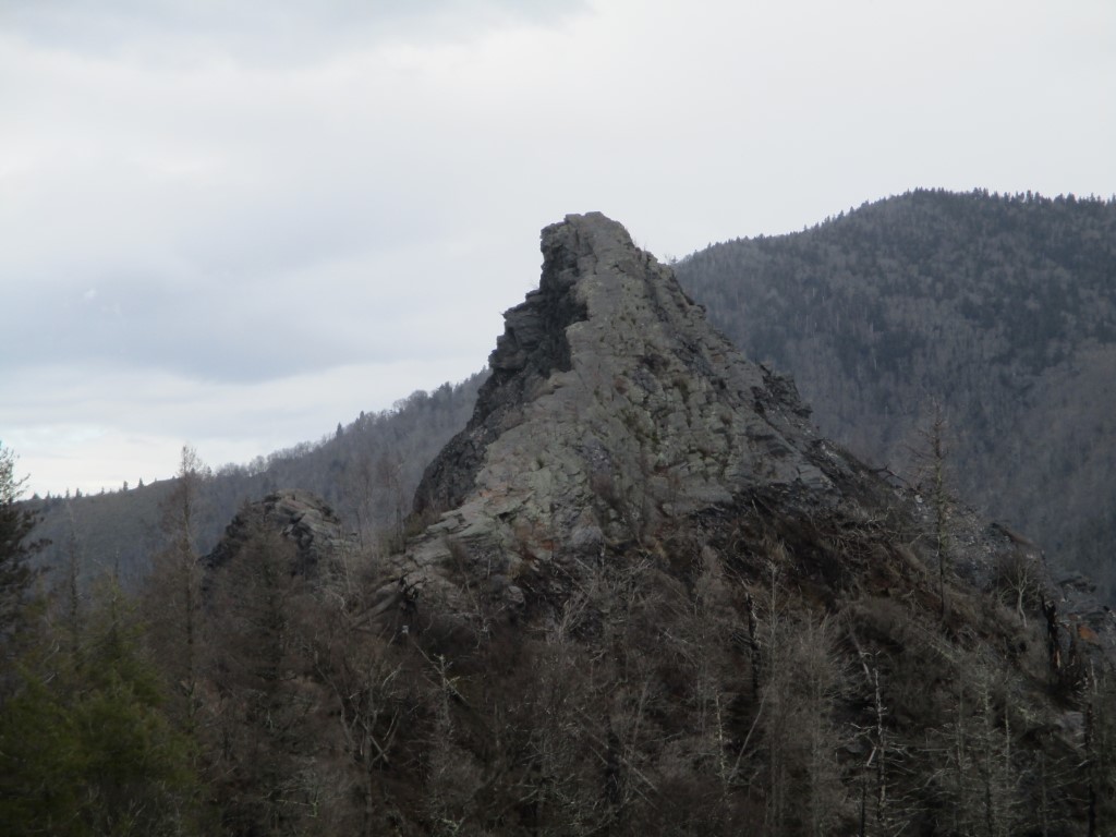
Chimney Top
Great Smoky Mountains National Park
107 Park Headquarters Road
Gatlinburg, TN 37738
(865) 436-1200
The Great Smoky Mountains National Park stretches across 800 square miles, with nearly 95 percent of its land covered in forest. These ancient mountains, which are among the oldest on Earth, are built from rocks more than 200 million years old with their jagged peaks worn down into the soft, rounded ridges that are present today. These ridgelines are traversed by the Appalachian Trail which climbs to its highest point at Clingmans Dome (6,643 feet) and straddles the border of North Carolina and Tennessee in the park. From the ridges you will often see a distinctive blue haze that lingers over the valleys. It is a natural mist that is created when plants release water vapor and organic compounds into the air which gives the area its trademark “Smoky” Mountains name. Unfortunately, the majority of the people that visit the park never visit the backcountry and see some of the best wilderness in the Southeastern U.S.
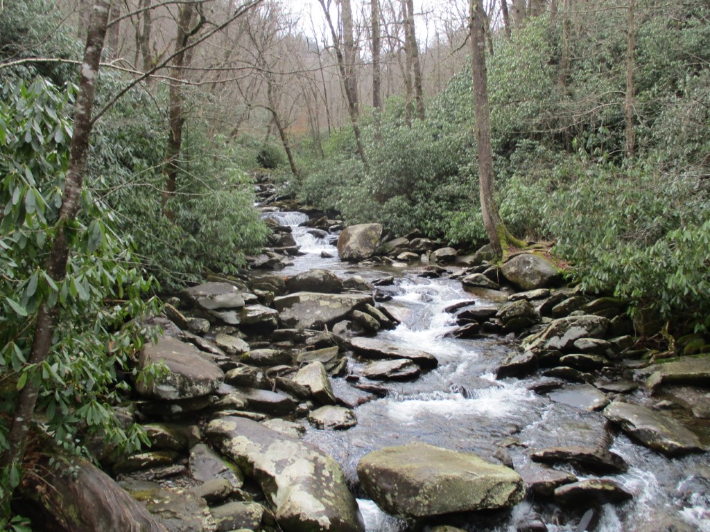
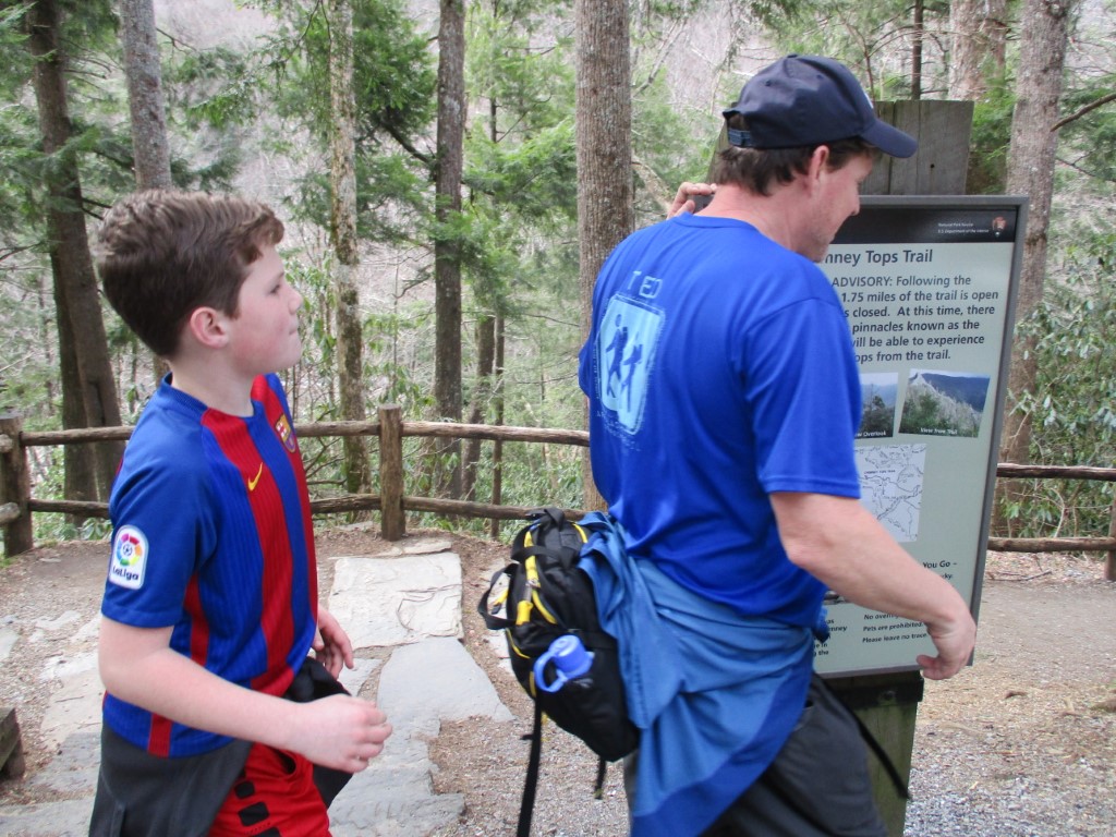
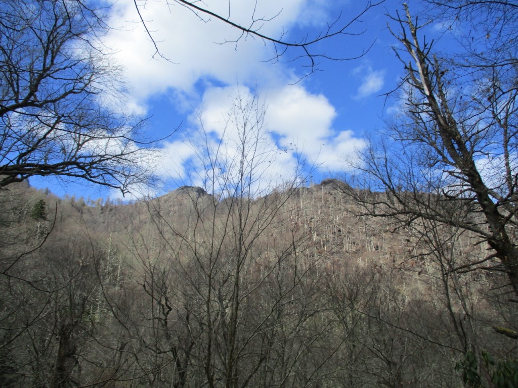
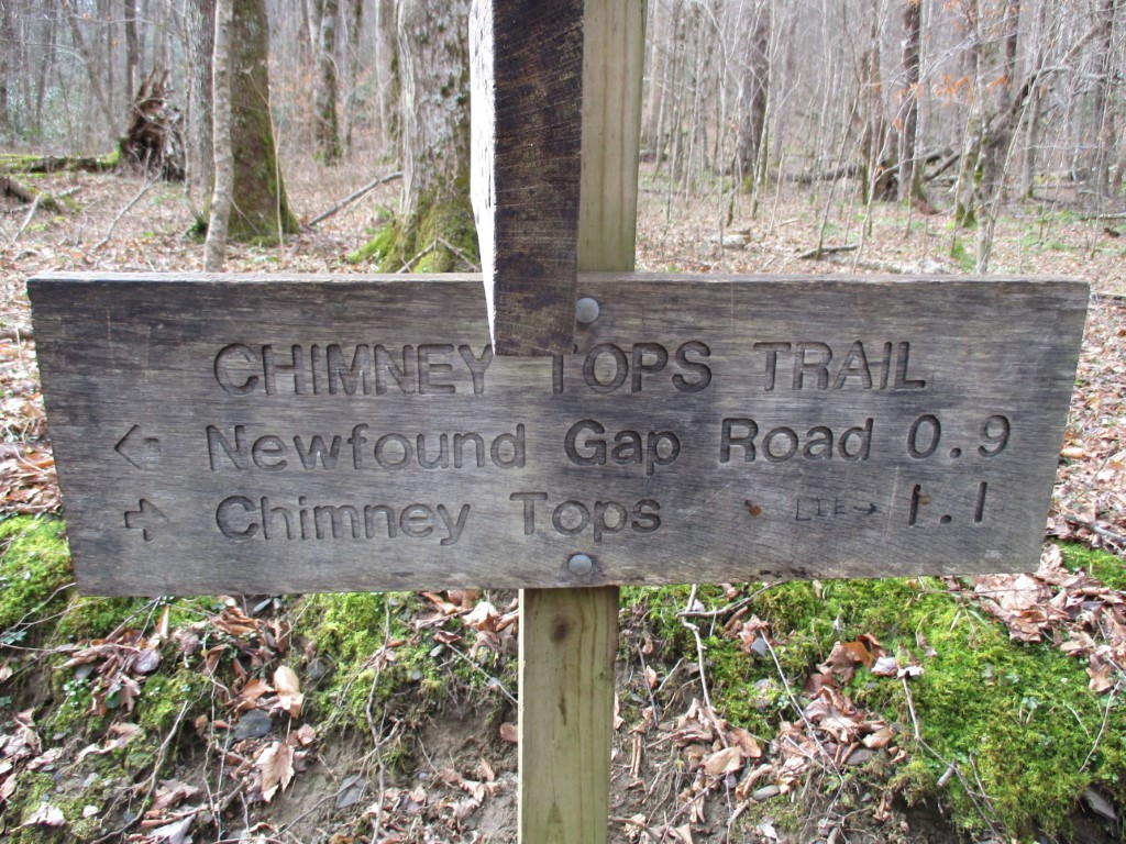
The Chimney Tops trail is a steep 1300′ climb to a rocky formation made of quartzite and slate. The Chimney Tops rise sharply from the surrounding valley and are a worthy site on their own. But from a recently created platform you can view the surrounding mountains – including Mount LeConte (6,593′) across the valley. In the first mile the trail is fairly mild – crossing a series of bridges over Road Prong Creek and ascending only about 300′. However, the Chimney Tops trail gets much more difficult – climbing nearly 1000′ in the final mile. The trail was ravaged by fire in 2016 and only recently reopened to the public. The National Park Service still has the final 0.2 miles of the trail gated off to hikers to prevent the badly burned area from further erosion.
- click for a trip report from this hike to Chimney Top in the Smokies: February 24, 2018 (password required)
- click to purchase a Trails Illustrated map of Great Smoky Mountains National Park
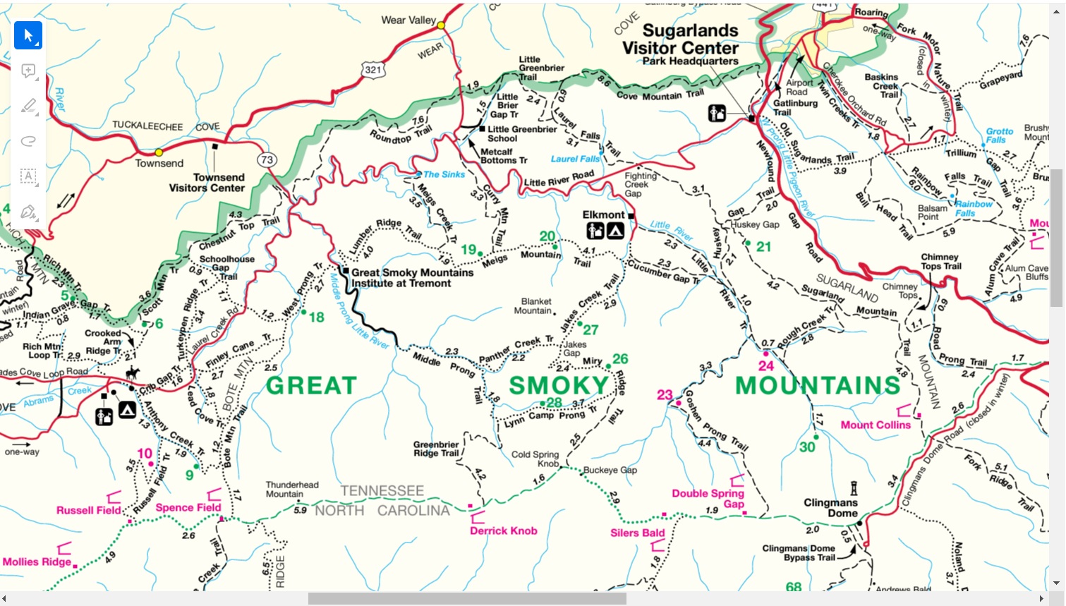
- click for a road and facilities map of Great Smoky Mountains National Park
- click for a trail map of Great Smoky Mountain National Park
- click for a park map of this hike in Tennessee in the Smokies (password required)
- click for a topographical and profile map of this hike to Chimney Top (password required)
- click for nearby hikes to Mount LeConte, Mount Collins, and Thunderhead Mountain
- click for access to the guidebook Trail By Trail: Backpacking In The Smoky Mountains which has details on this destination
- click to purchase the guidebook Hiking Tennessee with more details on this destination
- click for more hikes in the State of Tennessee