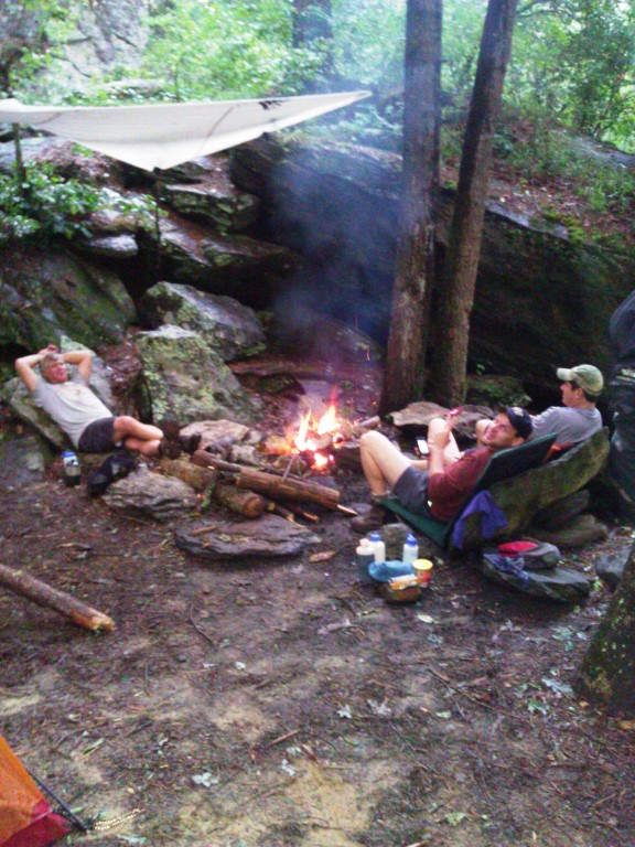
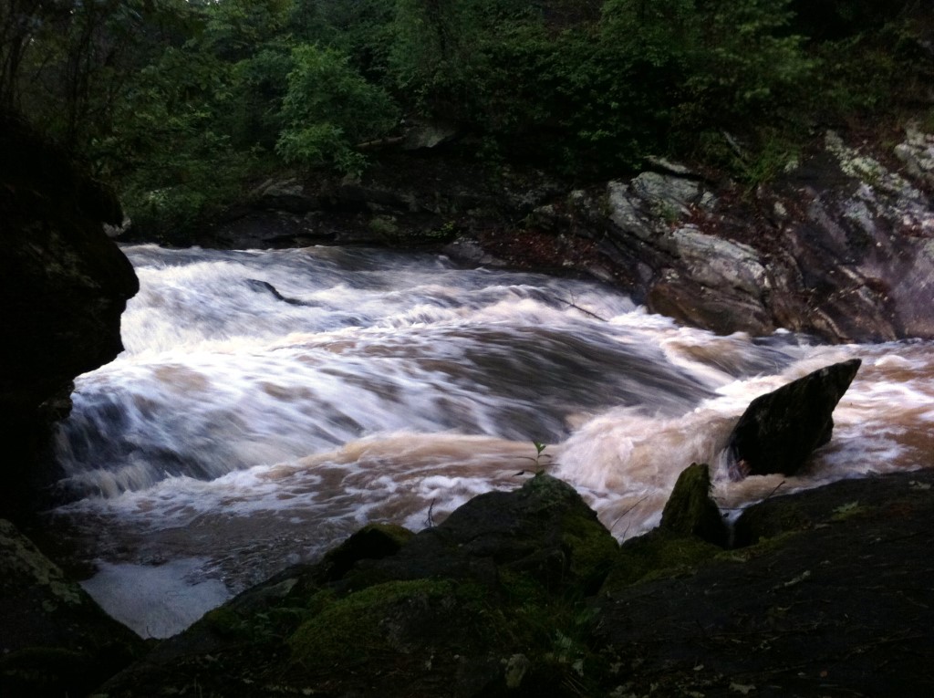
Panther Creek #4
Chattahoochee-Oconee National Forests
1755 Cleveland Highway
Gainesville, GA 30501
770 297-3000
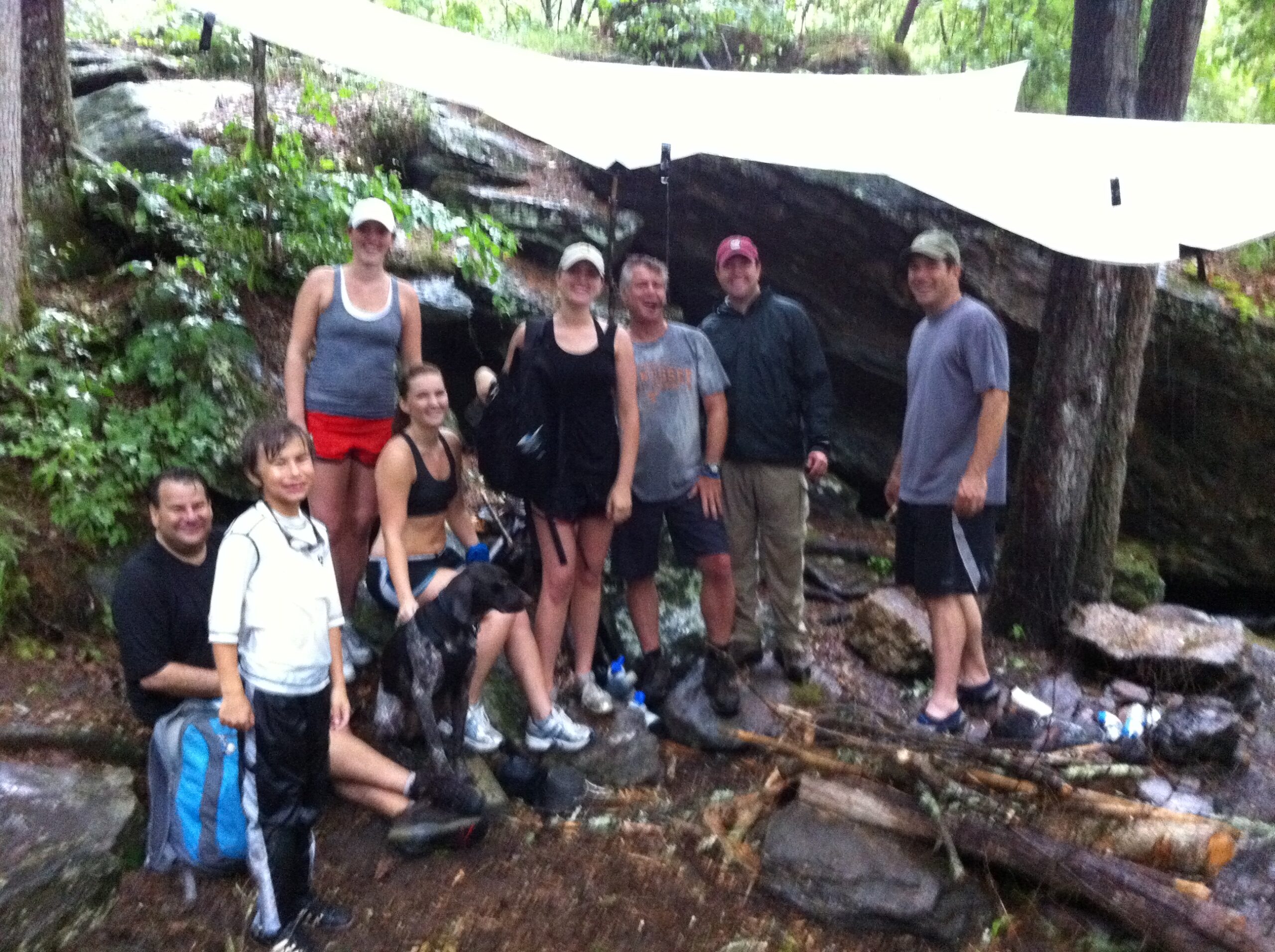
The Chattahoochee National Forest is a vast and scenic public forest covering approximately 750,000 acres across the mountains and foothills of northern Georgia. It is part of the larger Chattahoochee-Oconee National Forests and encompasses portions of numerous counties, including Fannin, Union, Lumpkin, and Habersham. The forest protects an exceptionally diverse landscape of ridges, valleys, streams, waterfalls, hardwood forests, and mountain coves, providing abundant opportunities for hiking, camping, fishing, paddling, and wildlife viewing. More than 450 miles of trails wind through the forest, ranging from short nature walks to demanding backcountry routes. Among the most notable are the Appalachian Trail, which crosses the northern Georgia mountains, the Benton MacKaye Trail, and the Bartram Trail. These long-distance routes, along with the forest’s many shorter trails, provide access to some of the most rugged and scenic terrain in the state. Numerous streams and waterfalls are scattered throughout the forest, making the Chattahoochee National Forest an important destination for hikers seeking both mountain scenery and access to cool, forested waterways.
Panther Creek flows for approximately 3.5 miles from the vicinity of US 441 through the Chattahoochee National Forest before reaching its namesake Panther Creek Falls. The 75-foot waterfall is located within the Panther Creek Recreation Area, a popular destination that receives heavy use but generally offers well-maintained trails, a developed parking area, and convenient access to the creek and falls. The hiking trail begins as a relatively easy to moderate walk alongside Panther Creek, passing through a mature forest and following the water as it gradually descends toward the falls. As the trail approaches Panther Creek Falls, the terrain becomes considerably more challenging, with steeper grades, exposed rock, and sections where the footpath hugs the side of the gorge. In several places, wire cables have been installed along the rock faces to provide additional security where a misstep could result in a fall into the ravine. The effort is rewarded with increasingly impressive views of the creek and surrounding gorge before the trail reaches the waterfall and its pool below. Most hikers can complete the round trip in roughly four hours, depending on conditions and pace, but it is worth allowing additional time at the falls. The pool at the base of Panther Creek Falls can be particularly inviting during the hot summer months, when the cool mountain water provides a refreshing break before beginning the hike back to the trailhead.
- click for video of Therm Rider’s rafting adventure on Panther Creek (password required)
- click for more photos from this hike to Panther Creek Falls: June 11, 2011
- click for a trip report from this hike in the Chattahoochee National Forest: June 11, 2011 (password required)
- click for a topo, profile, and campsite map for this hike to Panther Creek Falls (password required)
- click for a USFS trail map of this backpacking trip along Panther Creek
- click for a profile map of this hike from the trailhead to Panther Ceek Falls (passwordrequired)
- click for a topographical and black & white profile map of this hike on Panther Creek (password required)
- click for another hike to Panther Creek Campsite #4 in June 2010, June 2011, and October 2015
- click for more hikes in the Panther Creek Recreation Area to Campsite #2 and Campsite #3
- click for the guidebook Hiking Georgia which has details on this destination
- click for other Georgia hiking and backpacking books