Panther Creek #4
Chattahoochee-Oconee National Forests
1755 Cleveland Highway
Gainesville, GA 30501
770 297-3000
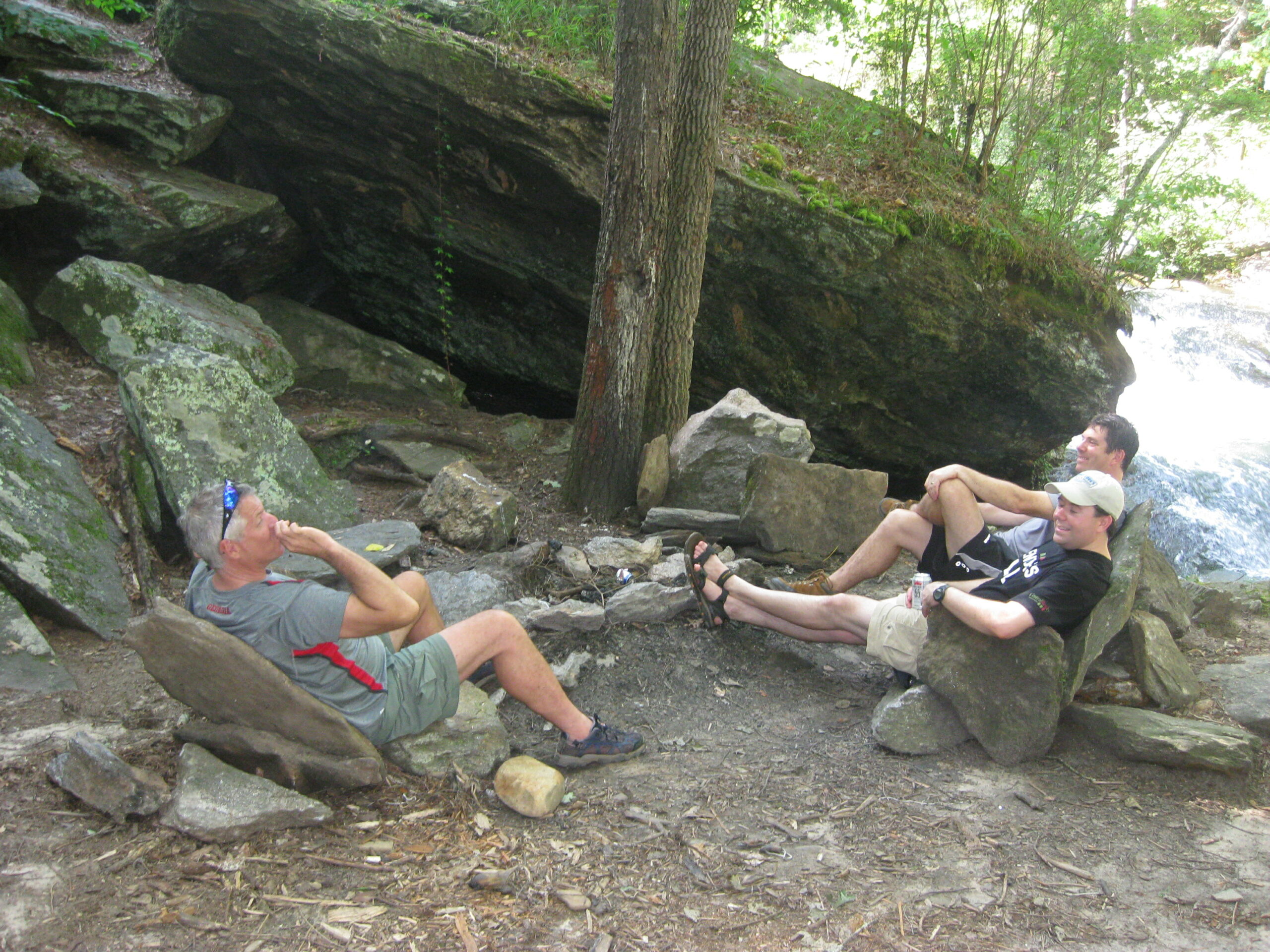
The Chattahoochee National Forest is one of Georgia’s premier outdoor recreation destinations, encompassing nearly 750,000 acres of rugged mountains, deep river valleys, hardwood forests, and scenic streams across the northern portion of the state. Together with the Oconee National Forest, it forms the Chattahoochee-Oconee National Forests, which protect some of the most beautiful landscapes in the southern Appalachian Mountains. The forest stretches across numerous counties, including Fannin, Union, Lumpkin, White, Towns, Rabun, Habersham, and several others, providing countless opportunities for hiking, camping, fishing, hunting, paddling, and wildlife viewing. Elevations range from rolling foothills to mountain peaks exceeding 4,700 feet, creating diverse ecosystems that support black bears, white-tailed deer, wild turkeys, bobcats, salamanders, and hundreds of species of birds. The forest contains more than 450 miles of maintained hiking trails, including portions of the world-famous Appalachian Trail, the Benton MacKaye Trail, and the Bartram Trail, all of which attract long-distance backpackers from around the country. Visitors can also explore numerous waterfalls, scenic overlooks, designated wilderness areas, and nationally recognized trout streams, making the Chattahoochee National Forest a year-round destination for outdoor enthusiasts seeking everything from leisurely day hikes to challenging backcountry adventures.
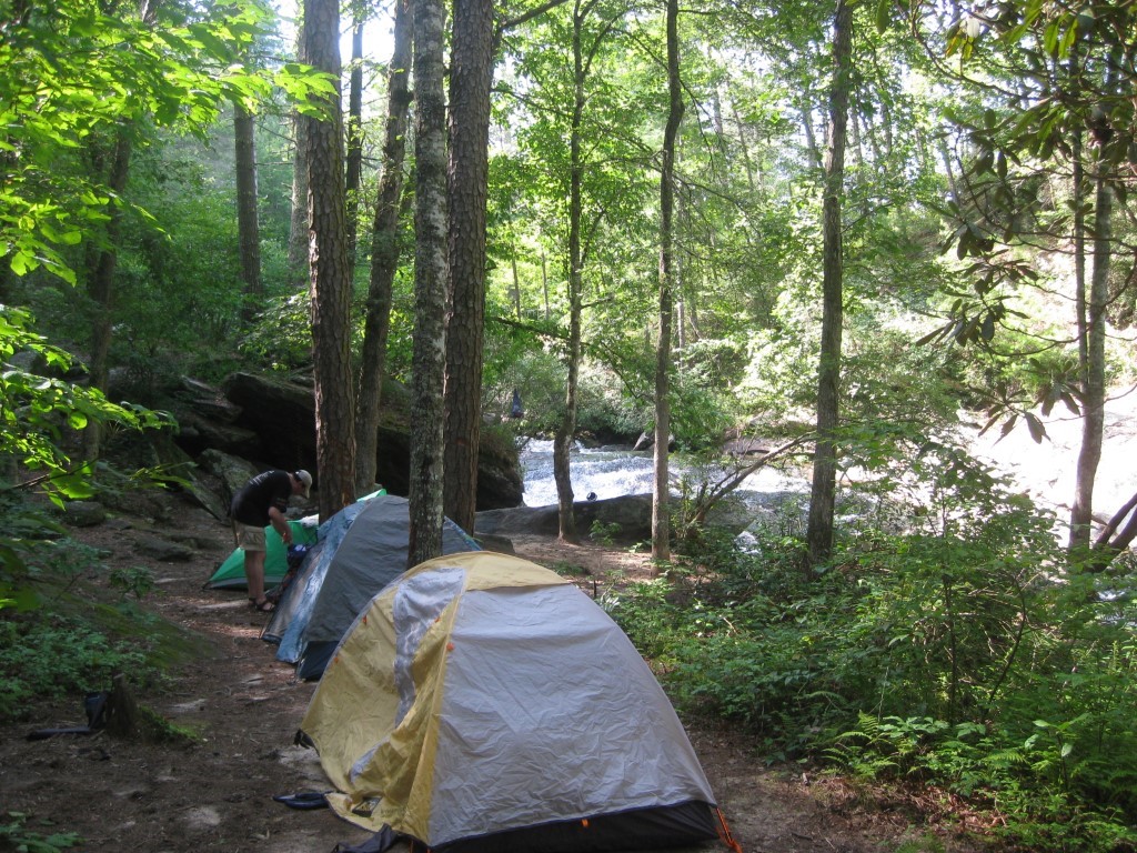
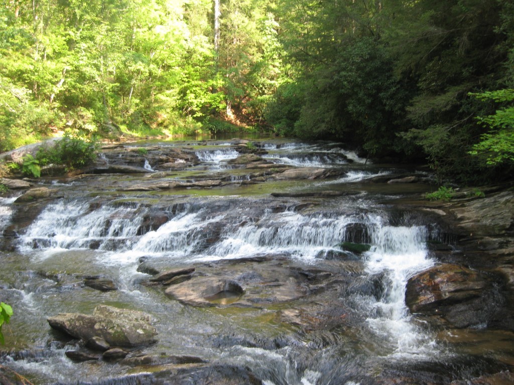
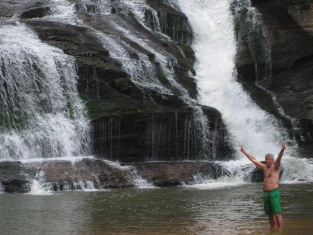
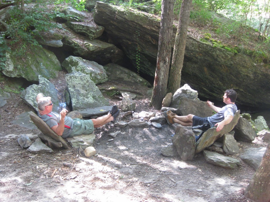
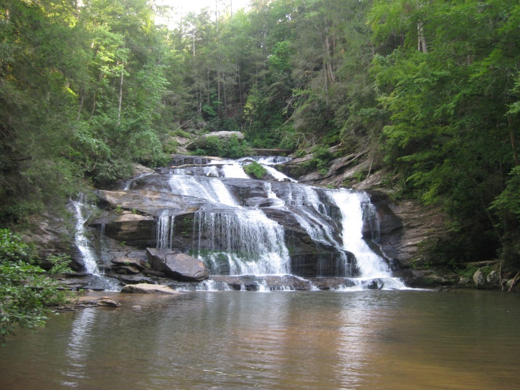
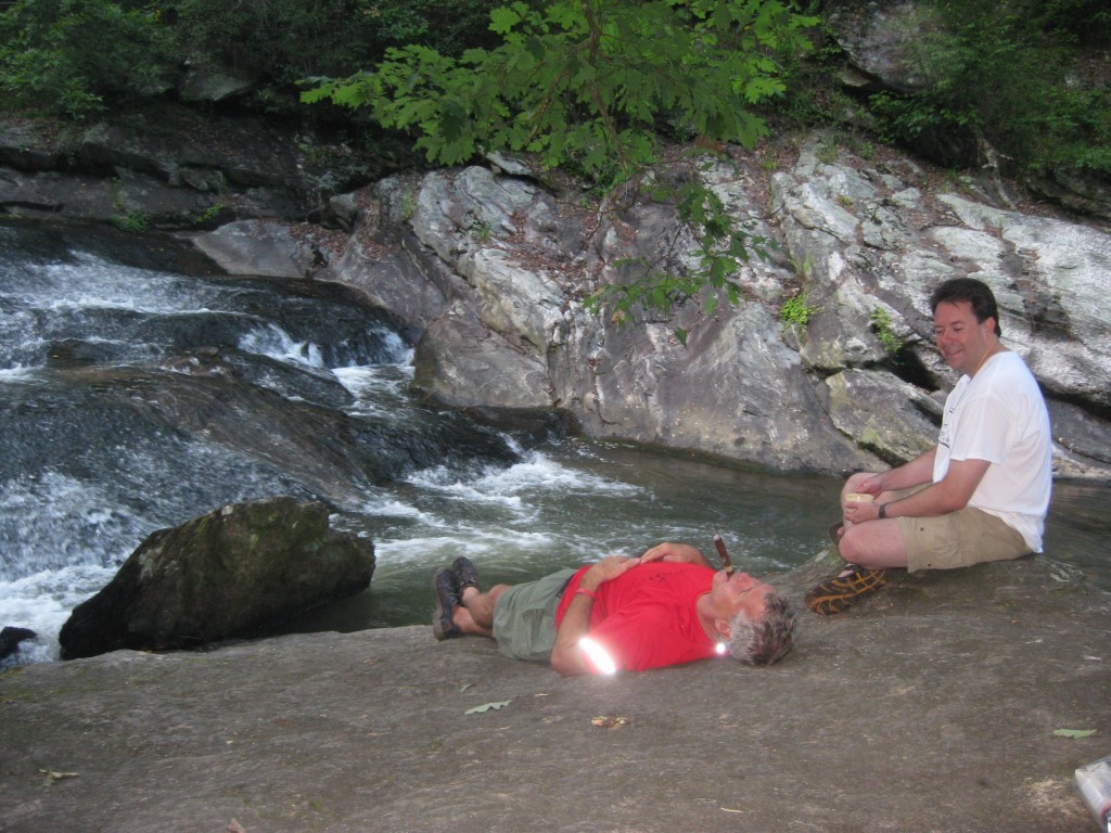
Panther Creek is one of the most popular waterfall hikes in the Chattahoochee National Forest and offers an exciting combination of scenic beauty, creekside walking, and rugged mountain terrain. Located just off U.S. Highway 441 near Clarkesville, the trail follows Panther Creek for approximately 3.5 miles before reaching the impressive 75-foot Panther Creek Falls. The waterfall plunges over a broad rock ledge into a large, clear pool surrounded by massive boulders, making it one of North Georgia’s favorite destinations for photographers, backpackers, and hikers looking to cool off during the hot summer months. The Panther Creek Recreation Area provides a well-maintained trailhead, ample parking, and access to several primitive backcountry campsites along the route. The hike begins with a relatively easy to moderate grade as it follows the creek through a beautiful hardwood forest, crossing numerous wooden bridges and passing smaller cascades and rocky shoals. As hikers approach the waterfall, however, the trail becomes considerably more demanding. Narrow sections traverse steep hillsides and exposed rock faces where steel cables have been installed to provide additional security along the cliff edges. Several creek crossings and rocky, uneven footing require careful attention, particularly after heavy rainfall when the trail can become muddy and slippery. Most hikers complete the round-trip journey in about four hours, although many choose to spend additional time relaxing beside the waterfall, swimming in the refreshing pool beneath the falls, or enjoying lunch while listening to the sound of the cascading water before making the climb back to the trailhead.
- click for photos from this hike to Panther Creek Falls: July 22, 2010
- click for a trip report from this hike in the Chattahoochee National Forest: July 22, 2010 (password required)
- click for a topo, profile, and campsite map for this hike to Panther Creek Falls (password required)
- click for a USFS trail map of this backpacking trip along Panther Creek
- click for a profile map of this hike from the trailhead to Panther Ceek Falls (passwordrequired)
- click for a topographical and black & white profile map of this hike on Panther Creek (password required)
- click for another hike to Panther Creek Campsite #4 in June 2010 and June 2011
- click for more hikes in the Panther Creek Recreation Area to Campsite #2 and Campsite #3
- click for the guidebook Hiking Georgia which has details on this destination
- click for other Georgia hiking and backpacking books