Fall Branch Falls
Chattahoochee-Oconee National Forest
Blue Ridge Ranger District
2042 Highway 515 West
Blairsville, GA 30512
706-745-6928
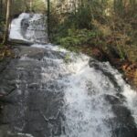
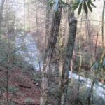
Fall Branch Falls is located in the Chattahoochee National Forest near Ellijay, GA. This is an easy to moderate hike that is suitable for all ages and it follows the Benton MacKaye Trail to a platform that overlooks the waterfall. The falls are only a short 0.5 miles from Rock Creek Road, but there is a loop that you can do including the Stanley Gap Trail that is 2.9 miles.
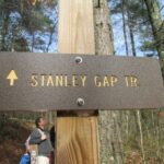
We walked about two miles before we reached Fall Branch Falls – via the longer loop route using the Stanley Gap Trail which is part of the Rich Mountain/Aska Trail system. It climbs to the Benton MacKaye Trail then descend to Falls Branch Falls. We then hiked back to the trailhead on a forest road. So you have options for either an 0.9 in-out hike directly to Falls Branch Falls or a longer 2.9 mile loop to the falls. Note: There is also a Falls Branch Falls in the Cherokee National Forest in Tennessee which is occasionally confused with this hike.
- click to watch a video or our hike to Fall Branch Falls in the Chattahoochee National Forest
- click to see photos from this hike in the Aska Trail System: December 31, 2016
- click to read a trip report of this hike on the Stanley Gap Trail: December 31, 2016 (password protected)
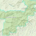
- click for a Trails Illustrated map of this area in the Chattahoochee National Forest
- click for a topographical and profile map of this hiking trip to Falls Branch Falls (password required)
- click for another hike in the Rich Mountain Wilderness in December 2019
- click for a list of our hikes over the New Years holiday starting in December 2004 (password required)
- click for the guidebook Hiking Trails North Georgia for more hikes in this area
- click for more hiking and backpacking books from Georgia
- click for more information on the Benton MacKaye Trail
- click for other hikes on the Benton MacKaye Trail in Georgia
- click for Benton MacKaye Trail hiking and backpacking books


