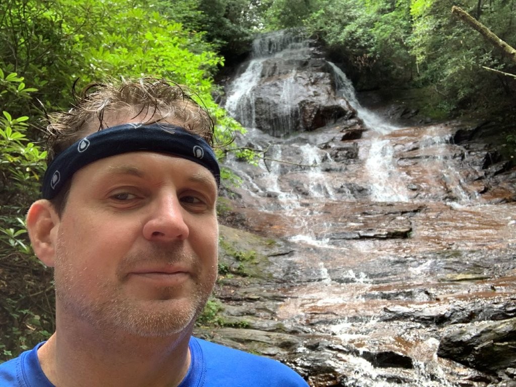
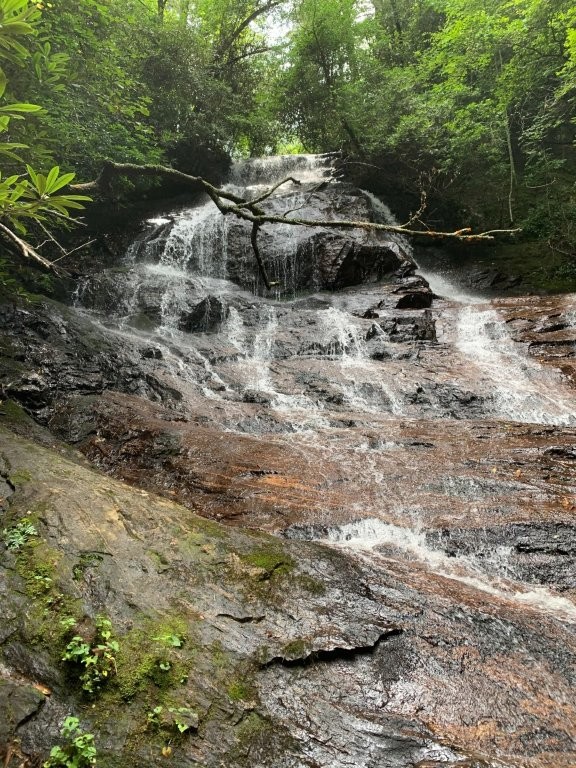
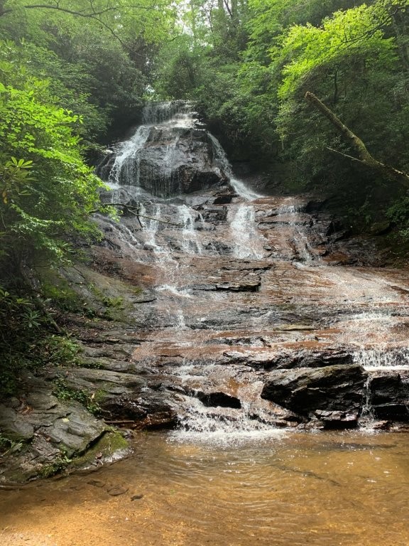
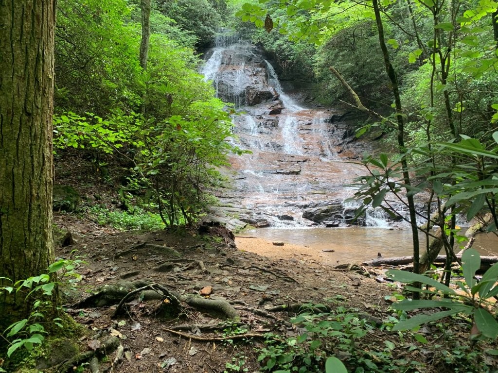
Fall Creek Waterfall
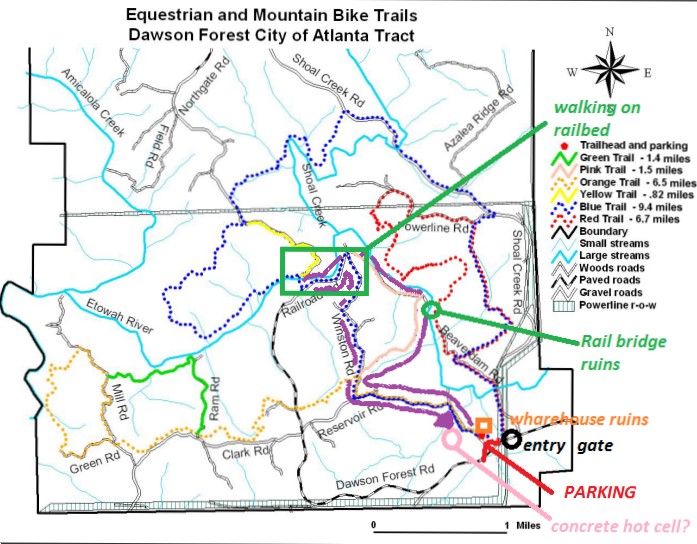
Dawson Forest Wildlife Management Area
5872 Highway 53 W
Dawsonville, GA 30534
(770) 535-5700
The Dawson Forest Wildlife Management Area is located in Dawson County and has 25,500-acres of wilderness for outdoor activity. There are five sections (tracts) of the WMA, including Wildcat Creek, Goethe, Burnt Mountain, Amicalola, and City of Atlanta. The DNR Wildlife Resources Division owns 15,000 acres of the forest, with the City of Atlanta owning the lower 10,000 acres. The WMA features improved roads, clearly marked trails, backcountry hike paths, and old single-track roadbeds—catering to hikers, mountain bikers, horseback riders, hunters, anglers, and nature watchers. The Etowah River and several streams run through the area, offering scenic and recreational value to the outdoor adventurer.
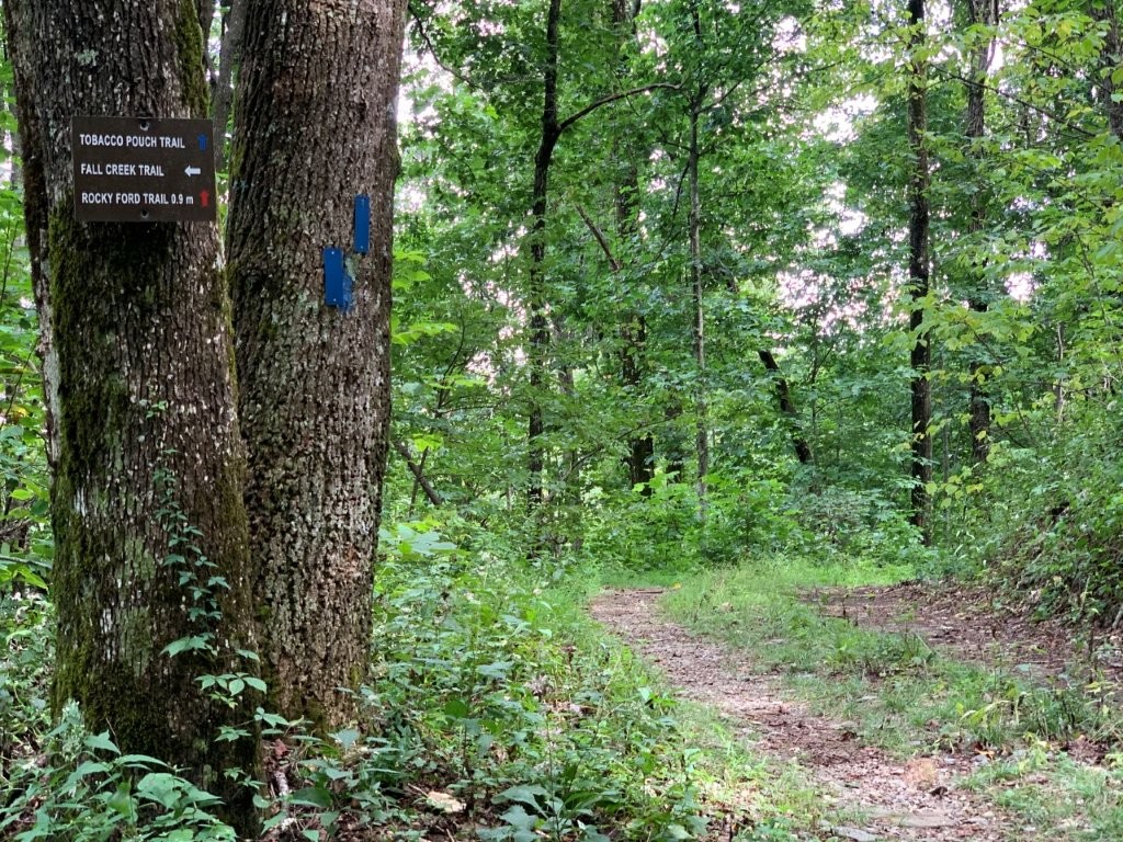
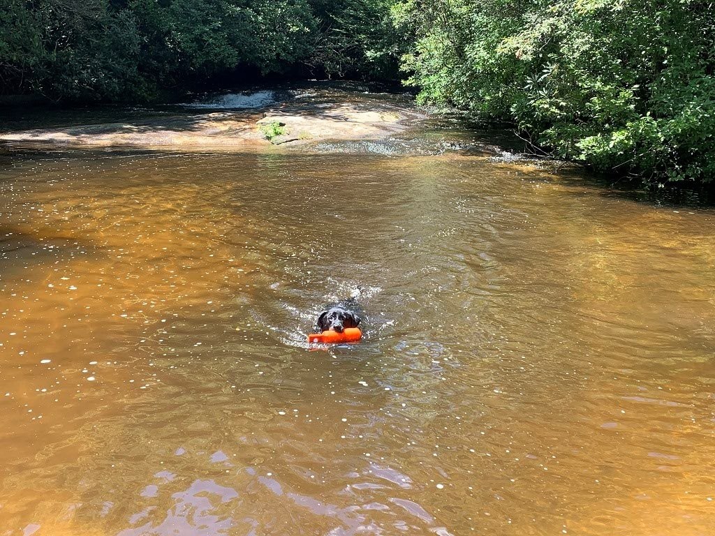
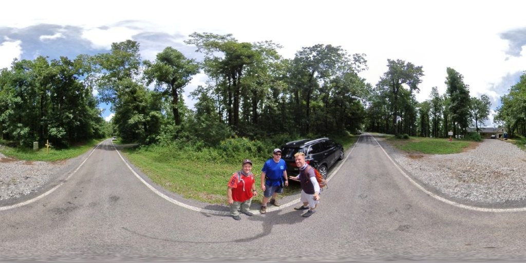
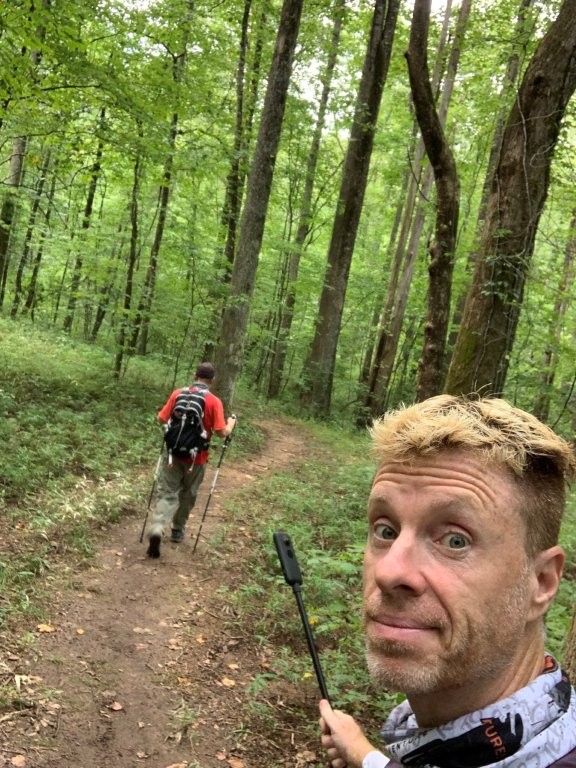
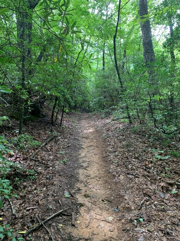
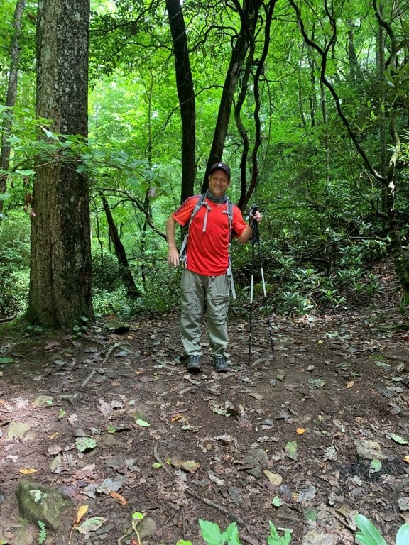
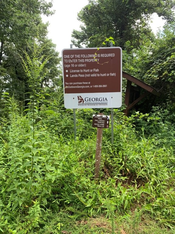
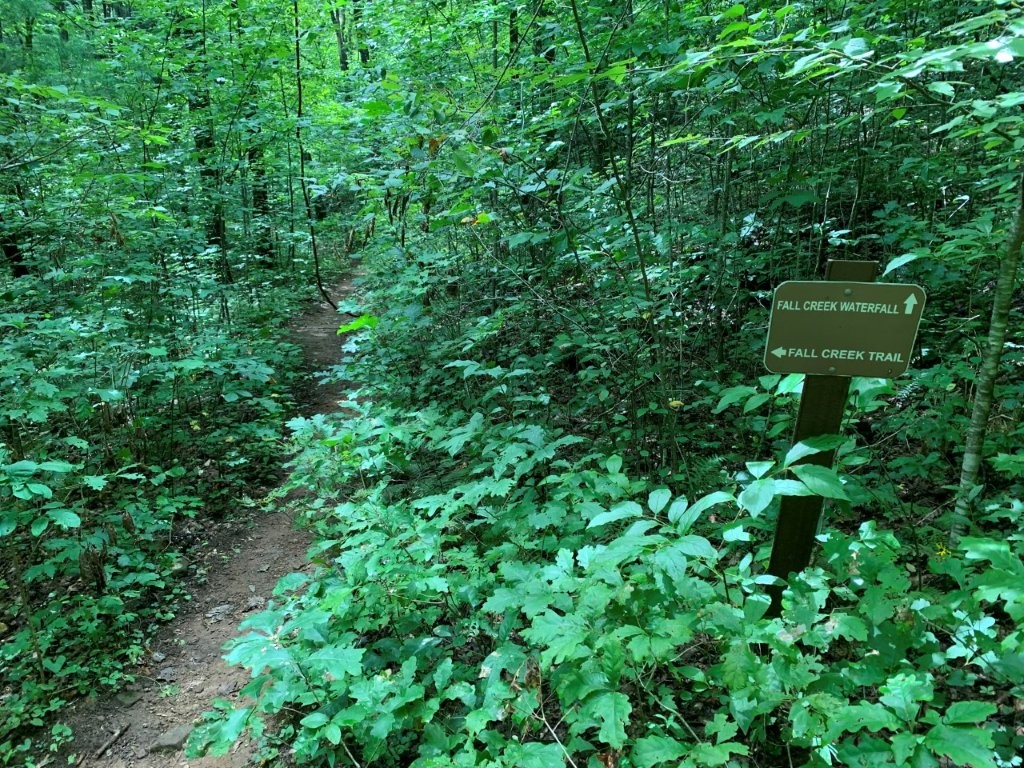
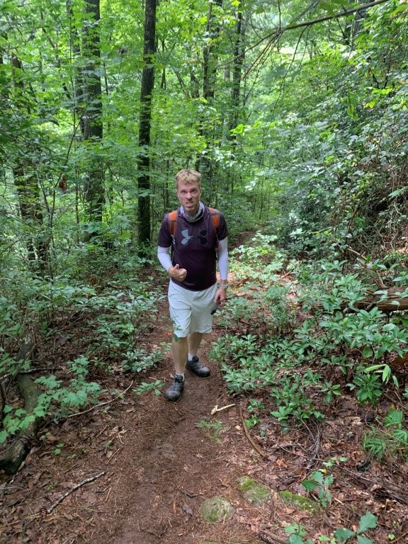
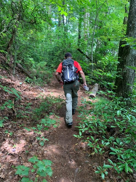
This hike starts at the Monument Road trailhead and drops ~1200 feet to a waterfall at Fall Creek. The trail is mostly downhill with a short climb in the final half mile to navigate around a drainage that drops back down to Fall Creek. Make sure to stay on the Fall Creek Trail and stay left around the 0.3 miles mark where the Tobacco Road Trail breaks away to the right. The first part of the trail is on a wide gravel 4×4 road, but the last mile is mostly on a single track that winds through a heavily forested area occasionally following Fall Creek. When you bottom out near the waterfalls break from the Fall Creek trail and follow a sign that directs you to the waterfall which has a nice shallow pool at the base. Dawson Forest Wildlife Management Area requires a permit which you can only get online or through the phone. Check out https://georgiawildlife.com/dawson-forest-wma for details.
- click to watch a 360 video from the base of Falls Creek Waterfall
- click for a trip report from this hike in Dawson Forest: August 22, 2020 (password required)
- click for a Trails Illustrated map of this area in the Chattahoochee National Forest
- click for a topo and profile map of this hike to Falls Creek Waterfall (password required)
- click for a trail map of the Dawson Forest in North Georgia
- click for another hike in the nearby Rich Mountain Wilderness in January 2005
- click for a hike at the nearby Cartecay River in December 2019
- click for the guidebook Hiking Trails North Georgia for more hikes in this area
- click for more hiking and backpacking books from Georgia
- click for more hikes and backpacking trips in the State of Georgia