Hawk Mountain (via Hightower Gap)
Chattahoochee-Oconee National Forests
1755 Cleveland Highway
Gainesville, GA 30501
770 297-3000

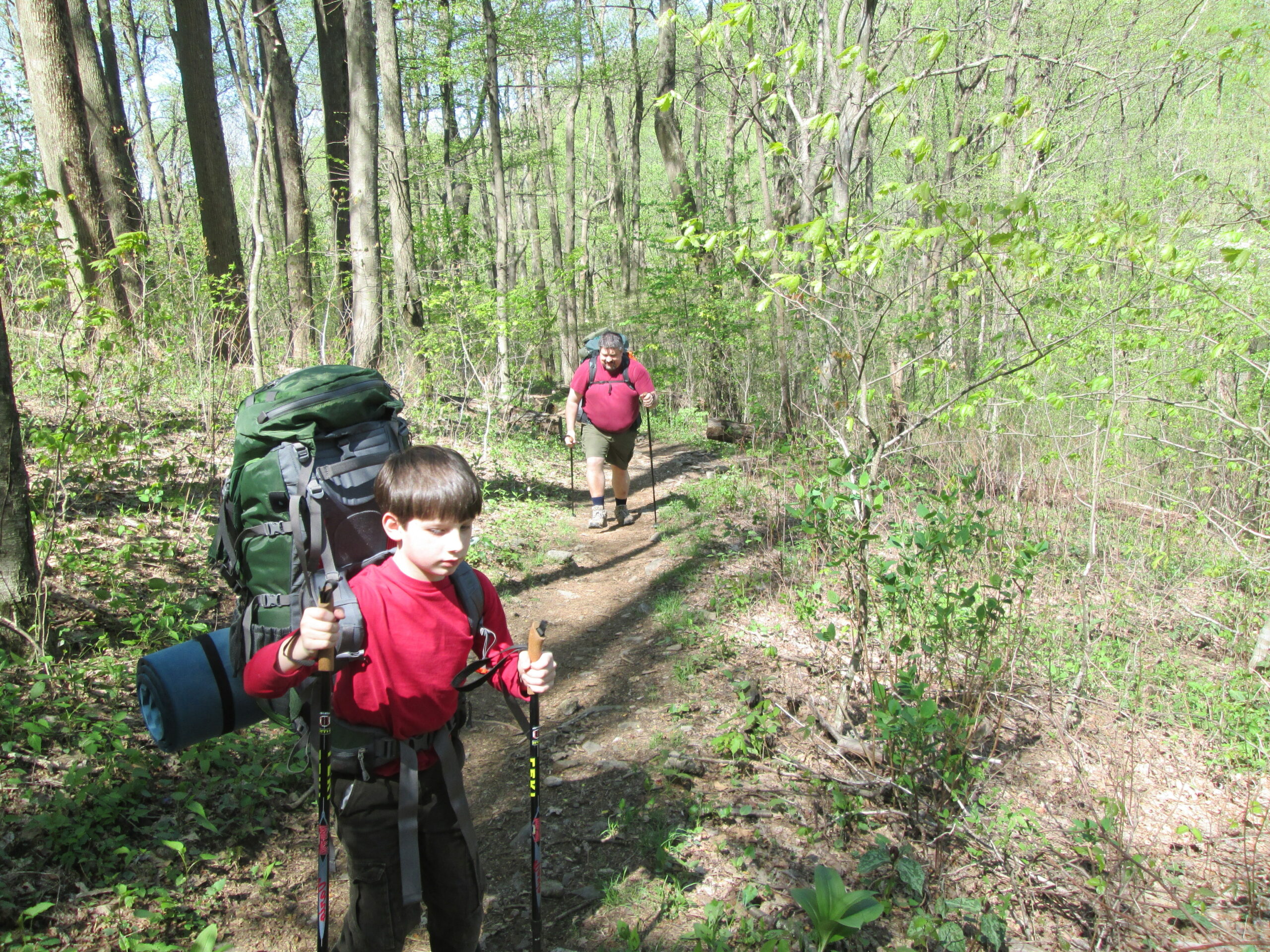
The Chattahoochee National Forest is one of two National Forests in the State of Georgia, and it takes its name from the Chattahoochee River whose headwaters begin in the North Georgia mountains. The River and the area were given the name by the English settlers who heard it from the Indians that once lived here. This hike to Hawk Mountain Shelter starts at Hightower Gap in the forest and climbs about 500 feet over 0.5 miles to a blue-blazed side trail that leads to the shelter. It’s a 0.2 mile hike from here down to the shelter which has plenty of campsites, a privy, and a stream for a water source (located a distance from the privy of course). The two story shelter was built around 1993 and can accommodate about 12 hikers.
Hawk Mountain Shelter is a prominent waypoint situated roughly 8.1 miles north of the Appalachian Trail’s southern terminus at Springer Mountain. This two-story wooden structure was rebuilt by the Georgia Appalachian Trail Club and it serves as a popular early stop for northbound thru-hikers. Due to its high traffic, the surrounding four-acre area became one of the largest camping impact zones on the AT, leading to the construction of a newer, designated Hawk Mountain Campsite located 0.7 miles south to help manage the “bubble” of spring hikers. Visitors to the site can find essential amenities including a privy, a seasonal stream for water, and bear cables for food storage, though those seeking a view must take a short side trip to the summit of Hawk Mountain to see the historic “G 23” aviation beacon.
- click for a trail journal from this backpacking trip starting at Hightower Gap: May 3, 2014
- click for more photos from this hike to Hawk Mountain: May 3, 2014
- click for a trip report from this backpacking trip near Hightower Gap: May 3, 2014 (password required)
- click for a Trails Illustrated map of this area between Amicalola Falls & Springer Mountain
- click for a Georgia Appalachian Trail overview map (password required)
- click for a Georgia Appalachian Trail profile map (password required)
- click for an ATC trail map from Three Forks to Woody Gap (password required)
- click for an ATC profile map from Springer Mountain to Sassafrass Mountain (password required)
- click for another hike to Hawk Mountain from Three Forks in November 1998
- click for more information on the Appalachian Trail
- click for Appalachian Trail hiking and backpacking books
- click for the guidebook Appalachian Trail: Georgia-North Carolina which has details on this destination
- click for other Georgia hiking and backpacking books