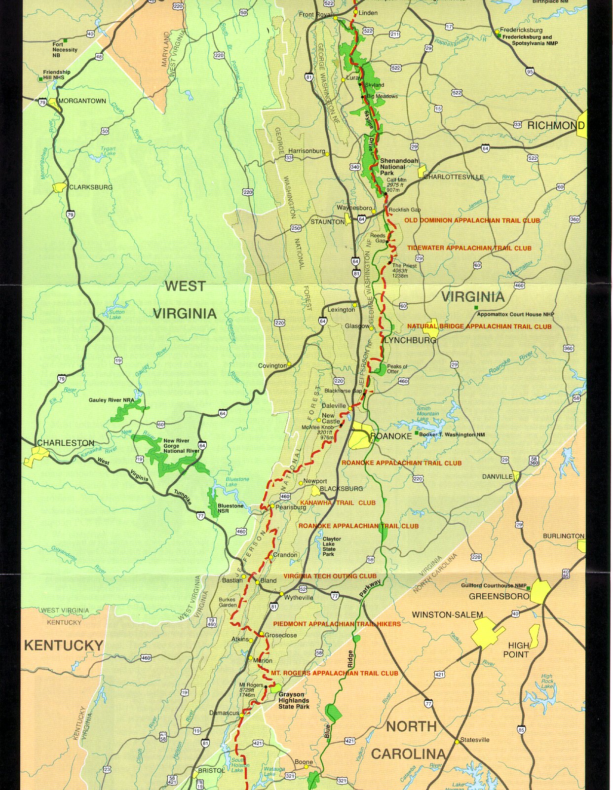
Appalachian Trail #8 (Reeds Gap to BRP Mile 9.6)
Appalachian Trail Conservancy
799 West Washington Street
Harpers Ferry, WV 25425
(304) 535-6331
The trail repeatedly crosses and parallels the Blue Ridge Parkway in this section, offering excellent chances for views west toward the Shenandoah Valley and east toward the Rockfish Valley. Northbound hikers eventually reach BRP milepost 9.6 near the Humpback Rocks Picnic Area – which serves as the northern point of this section with additional parking, water (seasonally), and road access via a wayside and pull-out access point. Overall the terrain in this section is classic Virginia ridge walking with long grades, mixed hardwood forests, and periodic vistas, with the highlight being the approach to the dramatic cliffs of Humpback Rocks.
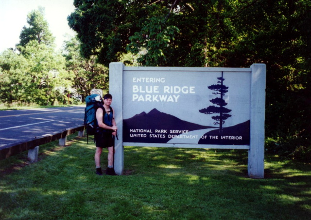
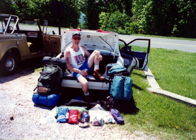
This short 4.8 mile section of the A.T. heads northbound from Reeds Gap (VA 664) and follows a classic Blue Ridge crestline with long forested traverses, open viewpoints, and access points to the Blue Ridge Parkway. It begins with a steady climb over Beech Mountain and then ascends over Green Pond and the broad ridges leading to Humpback Mountain, a major landmark in this area. Although the A.T. does not go across the rocky summit of Humpback Rocks itself, it passes close by and a short spur trail provides access to that well-known overlook. I hiked this little piece in 1996 to finish the Reeds Gap to Blue Ridge Parkway section at mile marker 9.6 after the Camel blew out his knee a week earlier. There are some nice views of Three Ridges less than a mile north of Reeds Gap on this hike.
- click for more photos from this backpacking trip starting at Reeds Gap: June 5, 1996
- click for a Daytimer report from this hike in Central Virginia: June 5, 1996 (password required)
- click for a topo and trail map from Reeds to Rockfish Gap (password required)
- click for an overview map of the Appalachian Trail in Virginia (password required)
- click for the previous section 7 and the next section 9 of my A.T. hike through Virginia
- click for a map of the entire Appalachian Trail
- click for a trail map from this section of the A.T. south of Shenandoah National Park
- click for a summary of the 2000+ mile Appalachian Trail
- click for recommended books, videos and games about the Appalachian Trail
- click for more hikes in the State of Virginia