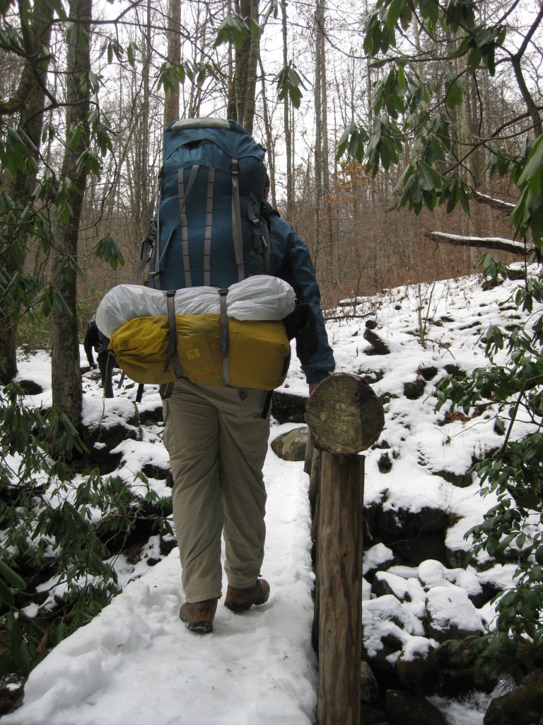
Kephart Shelter
Great Smoky Mountains National Park
107 Park Headquarters Road
Gatlinburg, TN 37738
(865) 436-1200
The Great Smoky Mountains National Park stretches across approximately 800 square miles, with nearly 95 percent of the park covered in forest. These ancient mountains are among the oldest mountain ranges on Earth, formed from rocks that are more than 200 million years old. Over millions of years, erosion has worn down their once-jagged peaks, creating the soft, rounded ridges and deep valleys that characterize the Smokies today. The Appalachian Trail follows many of these high ridgelines as it passes through the park, reaching its highest point at Clingmans Dome at 6,643 feet. The trail also straddles the state line between North Carolina and Tennessee for much of its journey through the Smokies. From the higher ridges, hikers are often rewarded with expansive views of the surrounding mountains and valleys, where a distinctive blue haze seems to linger in the distance. This haze is created naturally by moisture and organic compounds released by the dense vegetation, giving the range its familiar “Smoky” Mountains name. Despite the park’s enormous size and extensive trail network, most visitors never venture far beyond the roads, overlooks, and developed areas, leaving much of the backcountry relatively quiet. For hikers willing to travel deeper into the mountains, the park offers some of the finest wilderness and backcountry experiences in the Southeastern United States.
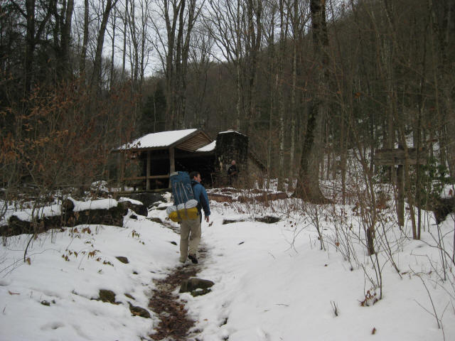
This backcountry hike begins along US 441 on the North Carolina side of the park, just north of the Oconaluftee Visitor Center near Cherokee. From the road, the route follows the Kephart Prong upstream into the mountains, tracing a scenic stream that descends from the area around Kephart Shelter toward Newfound Gap Road. The Kephart Prong Trail follows the waterway through a forested valley before continuing toward the Appalachian Trail and the network of trails surrounding Kephart Shelter. Kephart Shelter is located in a secluded mountain valley at the junction of the Grassy Branch and Sweat Heifer trails and provides a rustic overnight destination for backpackers exploring this section of the Smokies. The shelter can accommodate approximately 10 to 12 hikers and serves as a convenient base for exploring the surrounding backcountry. The combination of rushing mountain water, dense forest, historic trails, and relatively easy access from US 441 makes the Kephart Prong area a good introduction to the quieter side of Great Smoky Mountains National Park, away from the crowds that gather along the park’s main roads and popular attractions.
- click for a movie and slideshow recap of our hike to Kephart Shelter in December 2010
- click for more photos from this hike in the Great Smoky Mountain National Park: December 18, 2010 (password required)
- click for a trip report from this backpacking trip in the Smokies: December 18, 2010 (password required)
- click for a Trails Illustrated map of Great Smoky Mountains National Park
- click for a road and facilities map of Great Smoky Mountains National Park
- click for a trail map of Great Smoky Mountain National Park
- click for a topo and profile map of this hike to Kephart Shelter from US 441 (password required)
- click for a map of some other trails hiked in this area in the Great Smoky Mountains National Park
- click for other trips to Kephart Shelter in November 1992 and February 2023
- click for the guidebook Trail By Trail: Backpacking In The Smoky Mountains which has details on this destination
- click for other North Carolina hiking and backpacking books