Charlie’s Bunion (via Smokemont)
Great Smoky Mountains National Park
107 Park Headquarters Road
Gatlinburg, TN 37738
(865) 436-1200
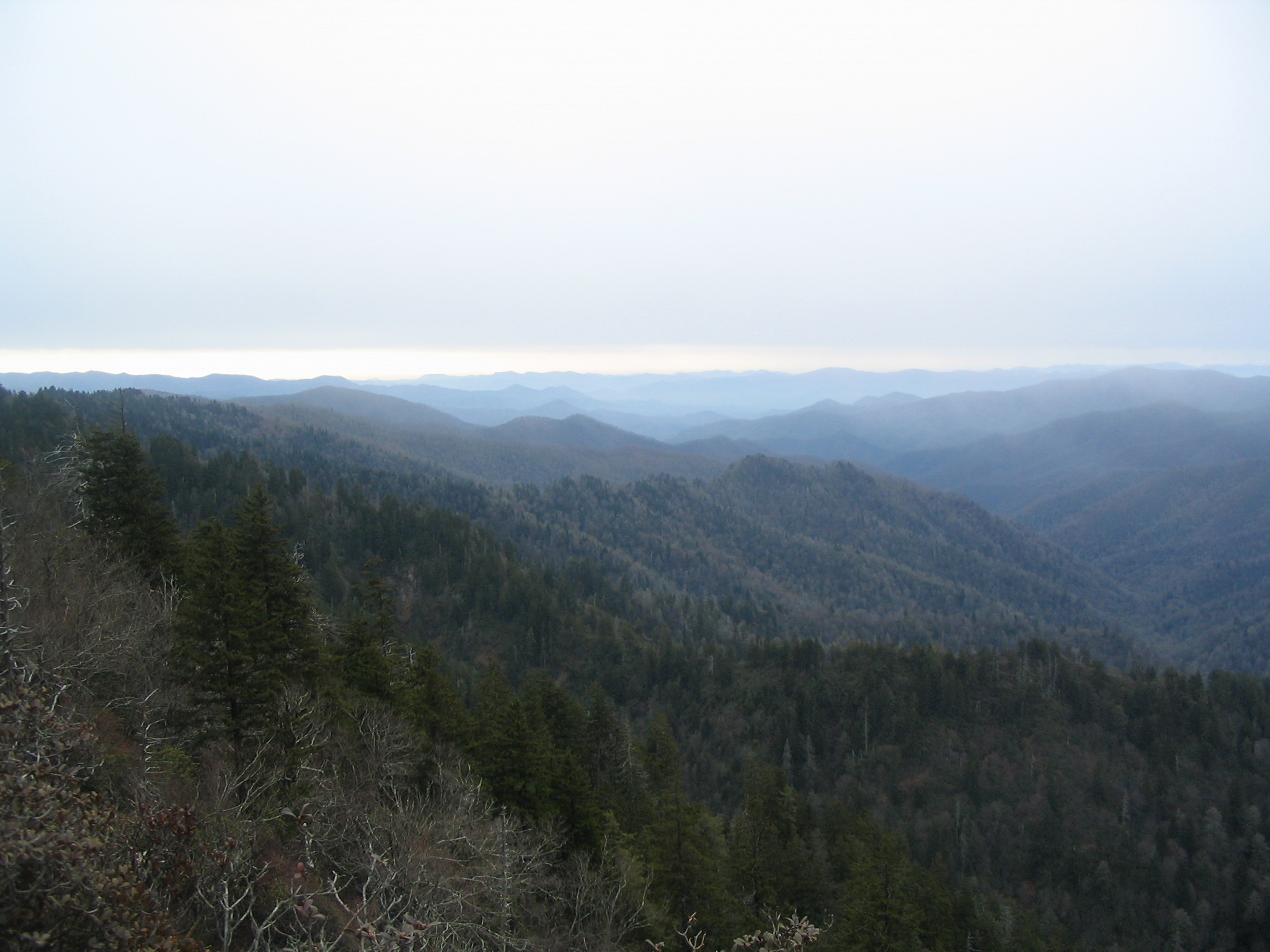
The Great Smoky Mountains National Park stretches across 800 square miles, with nearly 95 percent of its land covered in forest. These ancient mountains, which are among the oldest on Earth, are built from rocks more than 200 million years old with their jagged peaks worn down into the soft, rounded ridges that are present today. These ridgelines are traversed by the Appalachian Trail which climbs to its highest point at Clingmans Dome (6,643 feet) and straddles the border of North Carolina and Tennessee in the park. From the ridges you will often see a distinctive blue haze that lingers over the valleys. It is a natural mist that is created when plants release water vapor and organic compounds into the air which gives the area its trademark “Smoky” Mountains name. Unfortunately, the majority of the people that visit the park never visit the backcountry and see some of the best wilderness in the Southeastern U.S.
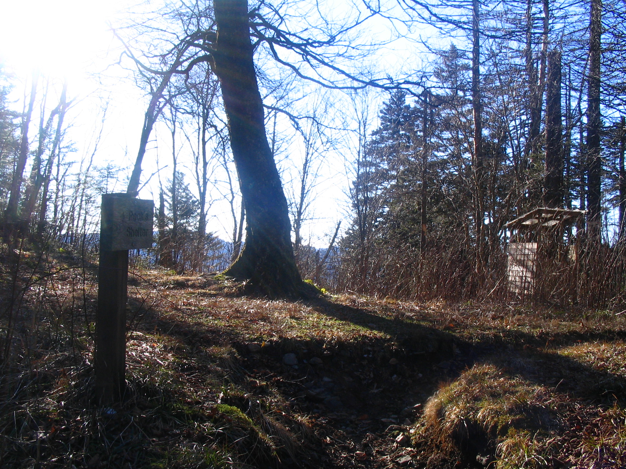
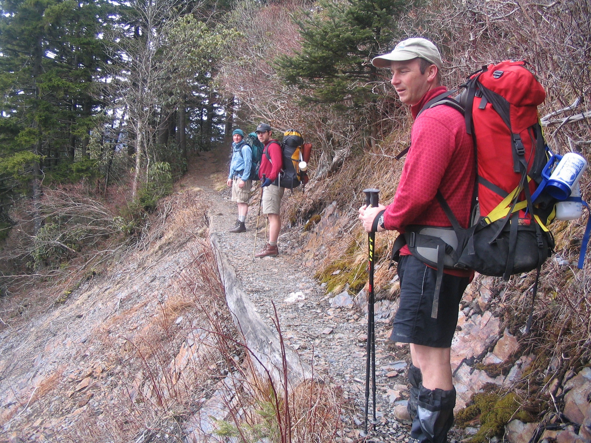
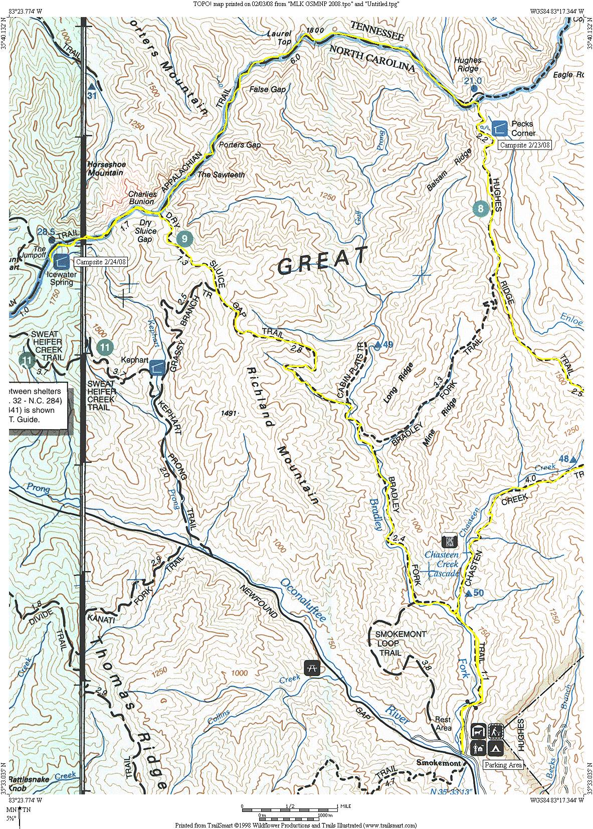
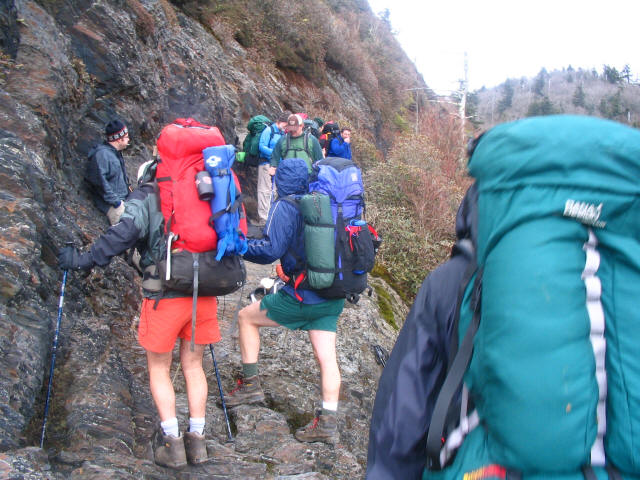
Charlie’s Bunion is a striking, jagged rock outcrop with exceptional, 360-degree vistas of the surrounding Smoky Mountains. It is generally considered a strenuous hike regardless of the approach. The unique name of Charlie’s Bunion has a famous origin story dating back to 1929, involving a local mountain guide and one of the early advocates for the national park. During a rest break, Charlie Conner removed his boots to reveal a painful, swollen bunion on his foot. Horace Kephart, upon seeing Conner’s foot and comparing it to the nearby jagged rock outcropping, famously remarked, “Charlie, I’m going to get this place put on a government map for you”. Kephart was true to his word, and the U.S. Geological Survey officially adopted the name “Charlie’s Bunion” for the feature. This hike starts at Newfound Gap on US 441 and climbs to Charlie’s Bunion which has outstanding views to the north. It follows the Appalachian Trail along the ridge that marks the Tennessee and North Carolina border and reaches Pecks Corner, a backcountry shelter after eleven miles.
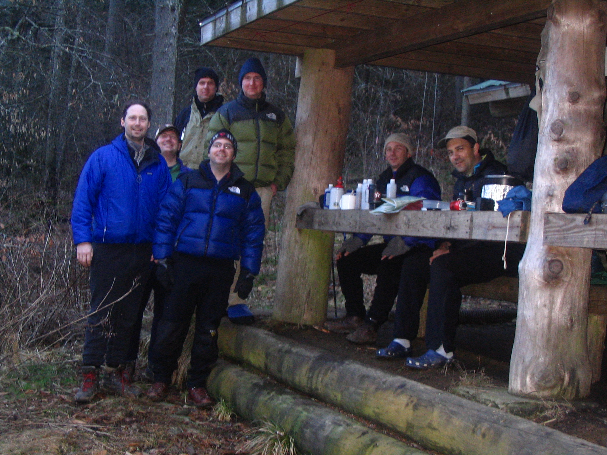
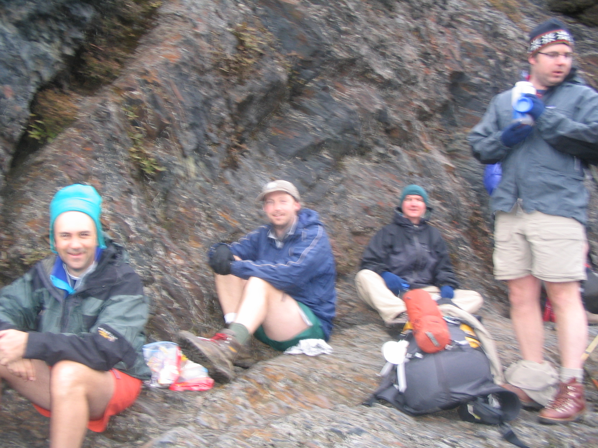
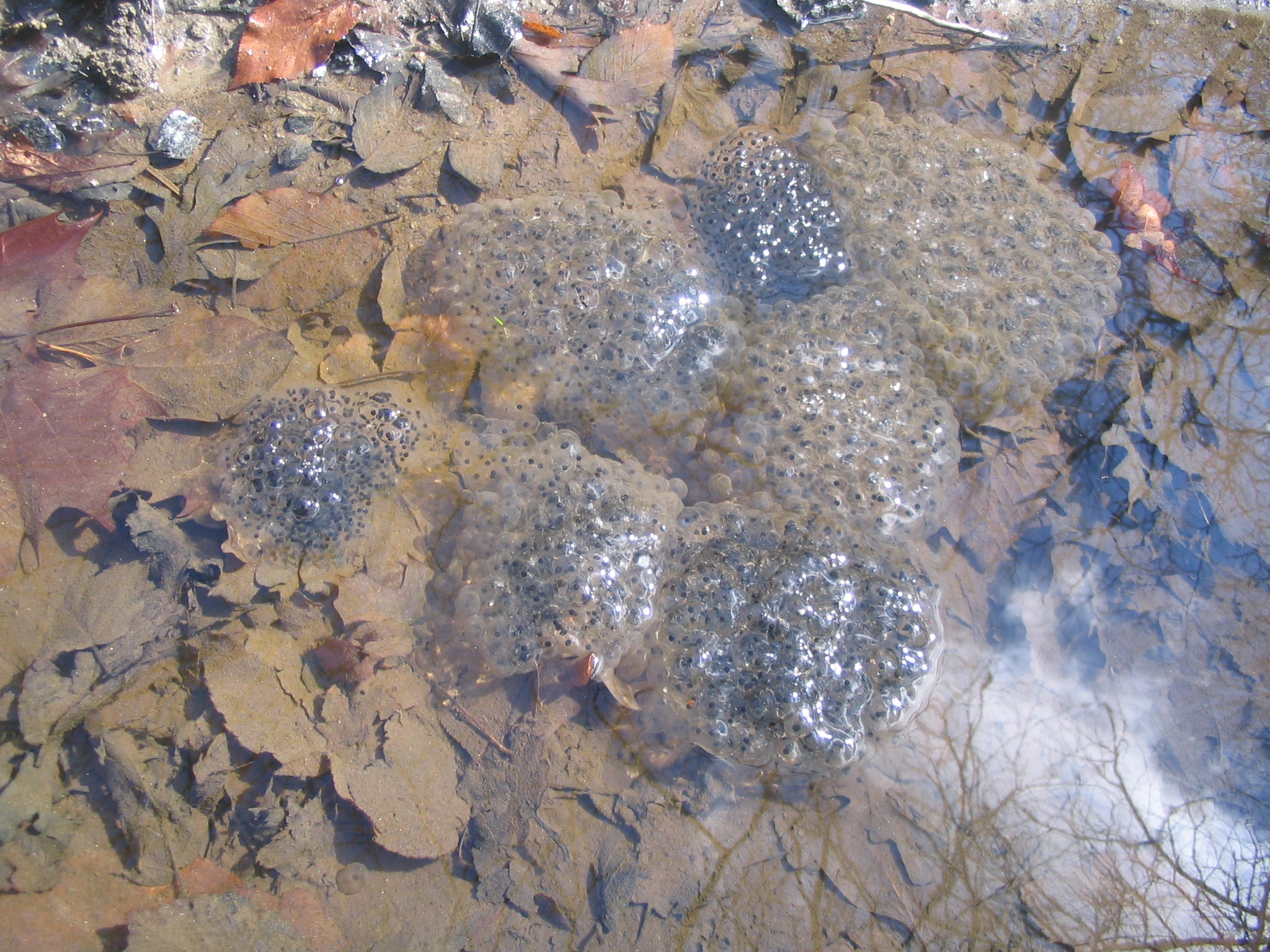
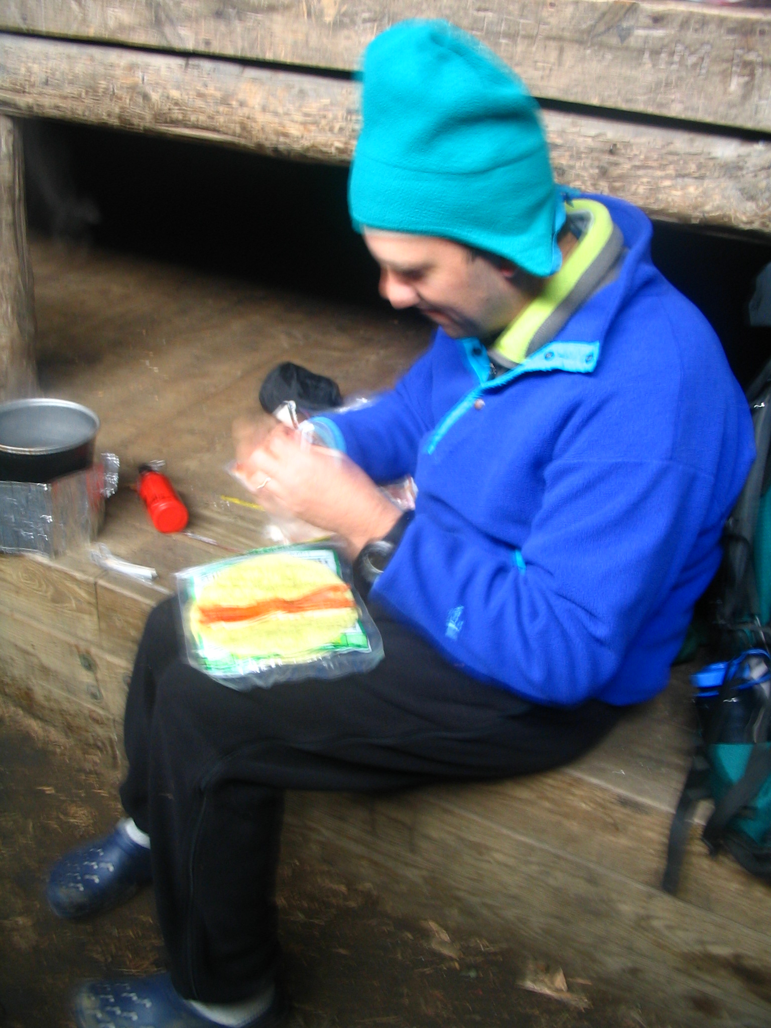
- click for more photos from this backpacking trip that starts at Smokemont: February 22, 2008
- click for a trip report from this hike to Charlie’s Bunion: February 22, 2008 (password required)
- click to purchase a Trails Illustrated map of Great Smoky Mountains National Park
- click for a road and facilities map of Great Smoky Mountains National Park
- click for a trail map of Great Smoky Mountain National Park
- click for a topo and profile map of this hike from Smokemont to Newfound Gap – Goodrich route (password required)
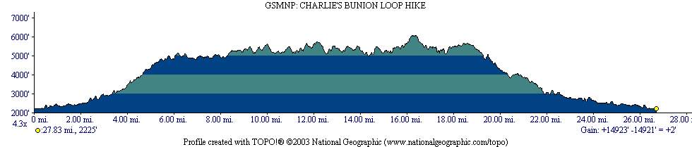
- click for a topo and profile map of a loop hike from Smokemont to Charlie’s Bunion and back – Porter route
- click for a topo and profile map of this hike from Icewater Springs Shelter to Newfound Gap (password required)
- click for a map of some other trails hiked in this area in the Great Smoky Mountains National Park
- click for other hikes to Ice Water Springs Shelter in October 1992 and February 2005
- click for a list of all our Klondike hikes that date back to the late 90’s (password required)
- click for the guidebook Trail By Trail: Backpacking In The Smoky Mountains which has details on this destination
- click for other North Carolina hiking and backpacking books
- click for more information on the Appalachian Trail