Great Wall
Nantahala National Forest
Highlands Ranger District
2010 Flat Mountain Rd,
Highlands, N.C. 28741
(828) 526-3765
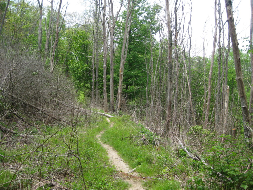
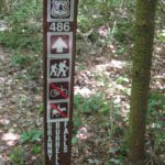
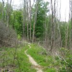
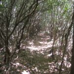
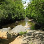
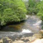
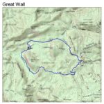
The National Forest Service acquired Panthertown Valley in 1989 from Duke Power in a deal coordinated by the Nature Conservancy. Surprisingly, the area is still relatively wild with no blazes on the trails and only a few primitive campsites. However there are an amazing number of waterfalls that are packed into a relatively small area and they many have pools at their base which make for a great place to swim or fish. Just make sure you take a map and compass on your hike. There are many intersecting trails in the area and route finding can be difficult. This hike in Panthertown Valley starts at the Cold Mountain Gap trailhead and descends to Greenland Creek via the Greenland Creek Trail. Here you have to take your shoes off or get them wet to cross the small stream, then pick up the Mac’s Gap Trail which ascends to the Big Green Trail. Watch for a trail on the left that is #489, The Great Wall Trail, then descend to Panthertown Creek and some nice camping areas in the southeastern section of the park.
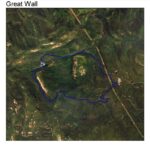
From here, you follow the Great Wall Trail to Granny Burrell Falls where there are often people soaking at the base of the falls in the warmer months. Just ahead, you loop back up with the Mac’s Gap trail and can return to the Cold Mountain trailhead (and cut off some mileage). Another option (and the route shown here) is to continue along Panthertown Creek via the Panthertown Valley trail which eventually connects with the Powerline Road trail which takes you back to the trailhead. This hike is a great way to see Panthertown Valley and takes you near three scenic falls in the park: Schoolhouse Falls, Granny Burrell Falls, and Greenland Creek Falls. Save some energy for both Schoolhouse and Greenland Creek Falls because they are located slightly off the trail.
- click to see trail photos from this hike to the Great Wall in Panthertown Valley : May 21, 2011
- click for a trip report from this loop hike in the Nantahala National Forest: May 21, 2011 (password required)
- click to access the guidebook North Carolina Hiking Trails for more details on this area
- click for other North Carolina hiking and backpacking books
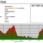
- click for a satellite and profile map of this hike past Granny Burrell Falls (password required)
- click for a topographical and profile map of this loop hike to the Great Wall (password required)
- click for a hike we did the following day at the nearby Whitewater Falls
- click for more trips to Panthertown Valley in June 2012, November 2014, July 2017, August 2020, February 2023
- click to access the guidebook North Carolina Hiking Trails for more details on this area
- click for other North Carolina hiking and backpacking books
