Appalachian Trail #4 (Fontana Dam to Davenport Gap)
Great Smoky Mountains National Park
107 Park Headquarters Road
Gatlinburg, TN 37738
(865) 436-1200
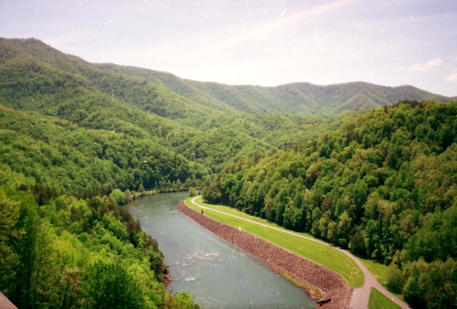
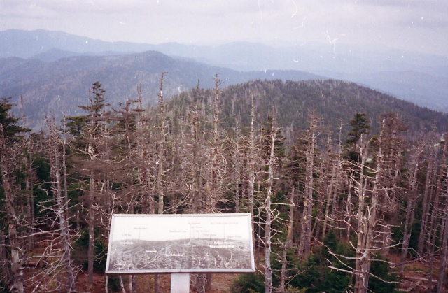
The Great Smoky Mountains National Park stretches across 800 square miles, with nearly 95 percent of its land covered in forest. These ancient mountains, which are among the oldest on Earth, are built from rocks more than 200 million years old with their jagged peaks worn down into the soft, rounded ridges that are present today. These ridgelines are traversed by the Appalachian Trail which climbs to its highest point at Clingmans Dome (6,643 feet) and straddles the border of North Carolina and Tennessee in the park. From the ridges you will often see a distinctive blue haze that lingers over the valleys. It is a natural mist that is created when plants release water vapor and organic compounds into the air which gives the area its trademark “Smoky” Mountains name. Unfortunately, the majority of the people that visit the park never visit the backcountry and see some of the best wilderness in the Southeastern U.S.
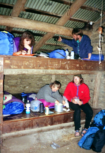
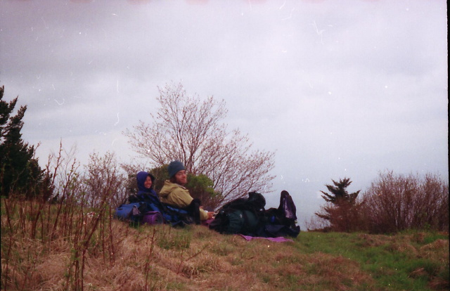
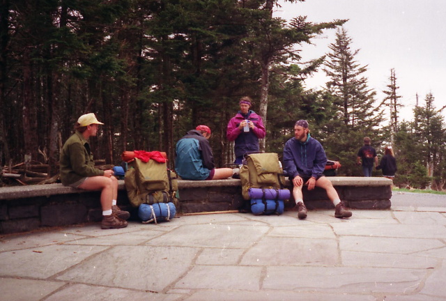
The Appalachian Trail in the Smokies runs just over 70 miles from Fontana Dam in the southwest to Davenport Gap in the northeastern areas of the National Park. Shelters are spaced roughly 7-12 miles apart on the Appalachian Trail but require reservations which can be made online. Additional access points include Newfound Gap at 5,046 feet and Clingman’s Dome which can both be reached via US 441 about halfway through the section. Most backpackers take 4-7 days to hike this rugged section of the Appalachian Trail that generally follows the border between the States of North Carolina and Tennessee.
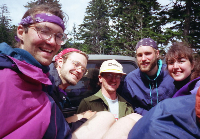
- click for a three minute slideshow from my 1994 hike on the Appalachian Trail
- click for more photos from this backpacking trip on the Appalachian Trail: April 27 – May 5, 1994
- click for a journal entries from my thru-hike in North Carolina: April 22-27, 1994
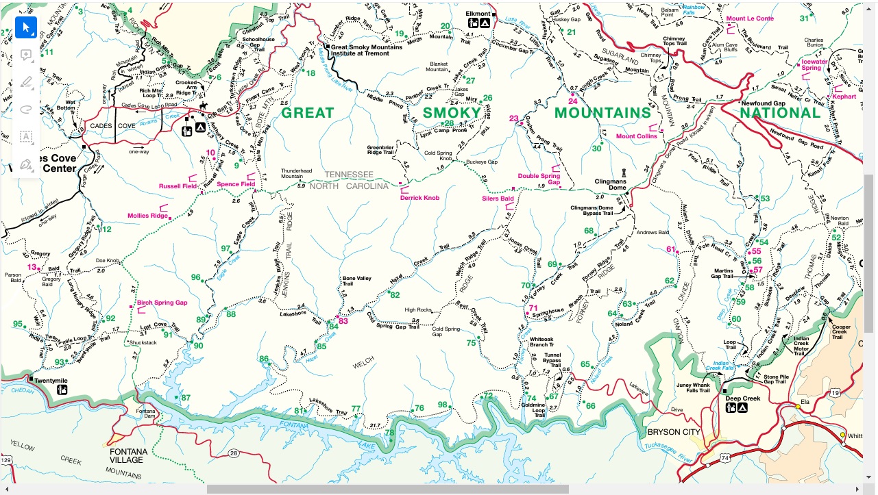
- click to purchase a Trails Illustrated map of Great Smoky Mountains National Park
- click for a road and facilities map of Great Smoky Mountains National Park
- click for a trail map of Great Smoky Mountain National Park
- click for access to the guidebook Trail By Trail: Backpacking In The Smoky Mountains which has details on this destination
- click for other North Carolina hiking and backpacking books
- click for more information on the Appalachian Trail
- click for the guidebook Appalachian Trail: Georgia-North Carolina which has details on this area