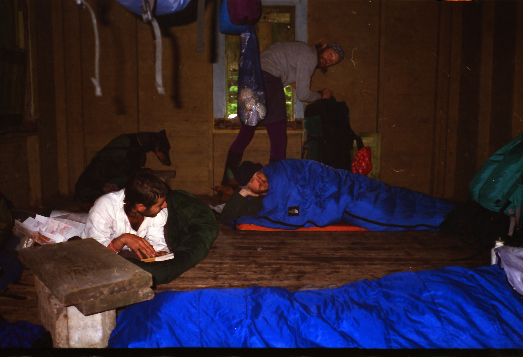
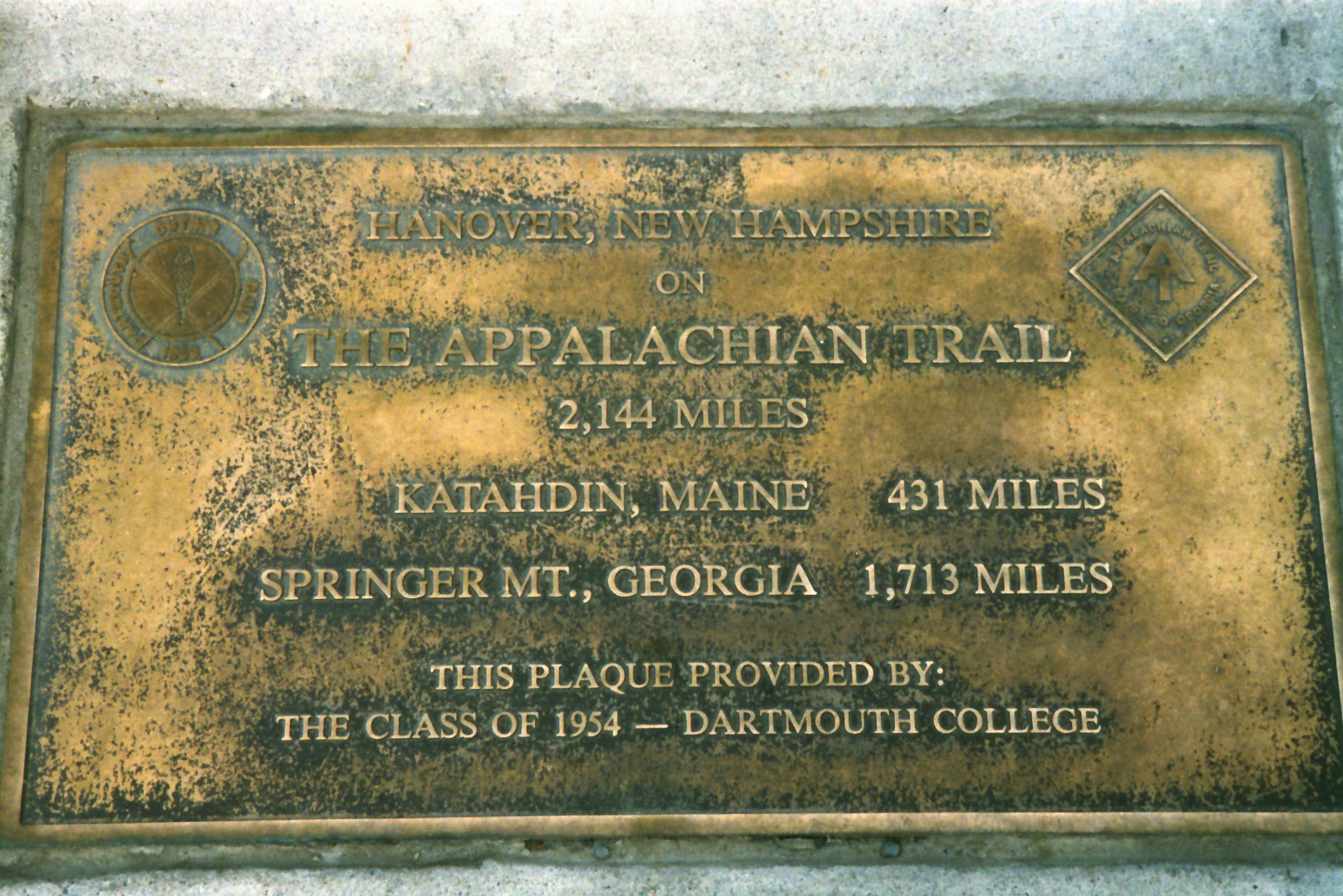
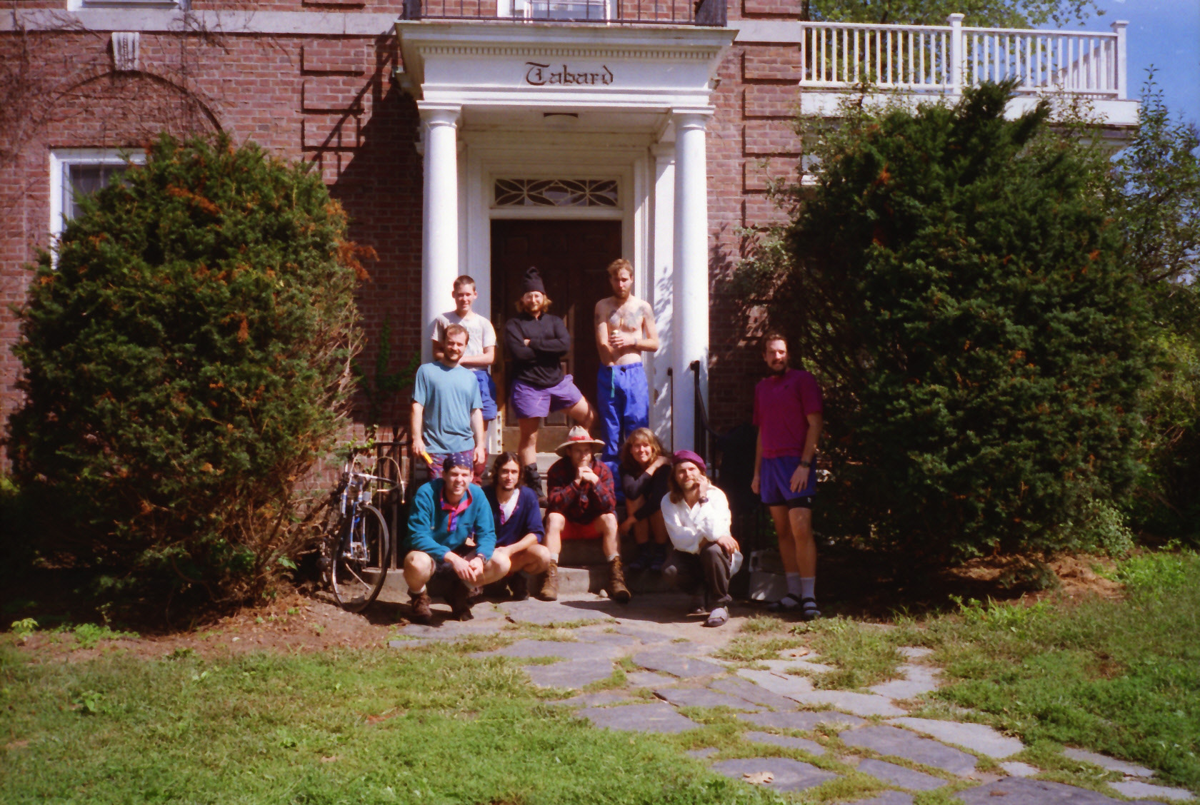
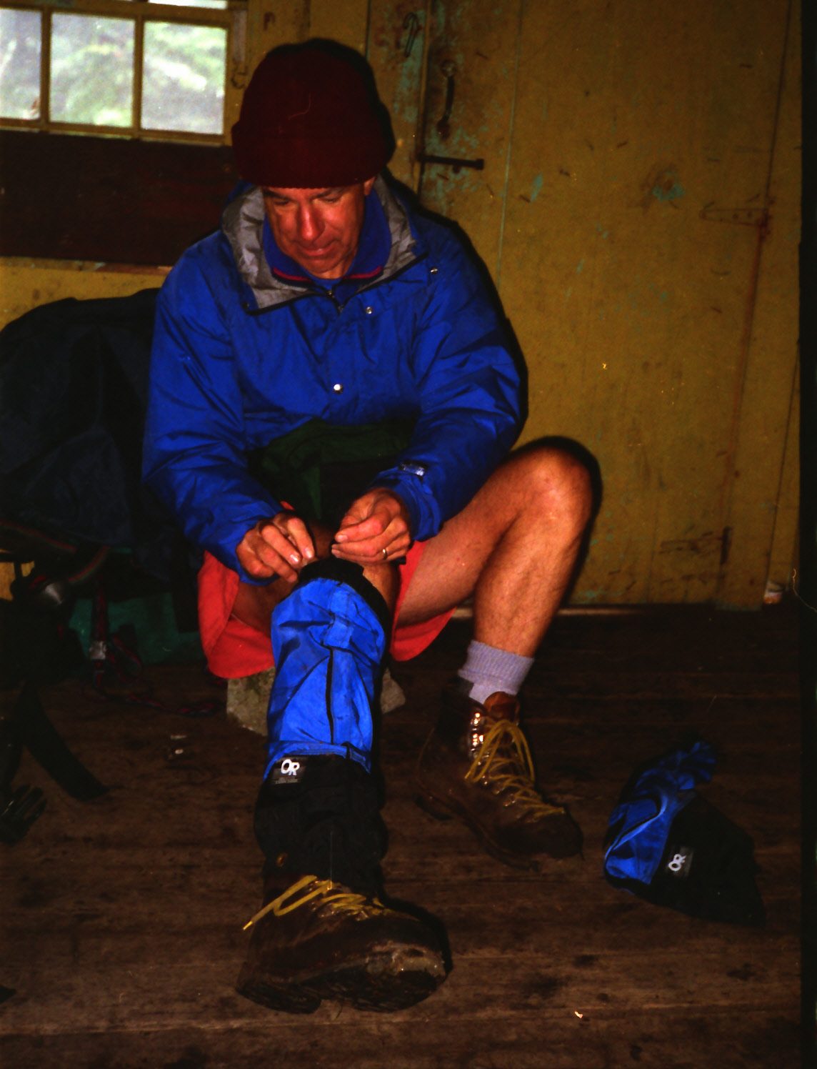
Appalachian Trail #1 (Connecticut River to Smarts Mountain)
Appalachian Trail Conservancy
799 West Washington Street
Harpers Ferry, WV 25425
(304) 535-6331
The Appalachian Trail leaves Dartmouth College and the town of Hanover to start this section, and it alternates between a series of mountains and valleys as it winds northbound. The elevation in this sections alters from around 500 feet in Hanover and to 3,238 feet at Smarts Mountain. This section of the A.T. includes Holt’s Ledge (near Lyme, NH) which has a cliff-top viewpoint with dramatic views. The site is a peregrine falcon nesting area so sometimes the ledges are closed seasonally to protect the birds. The A.T. also traverses the Lambert Ridge in this section which offers long stretches of open ledge walking with great views west toward Vermont.
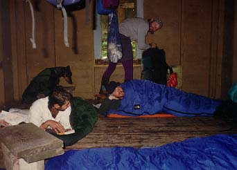
Smarts Mountain is located about twenty five miles from Hanover and the Connecticut River, and it has spectacular views from a fire tower at the summit. The mountain is one of the most prominent peaks in the Upper Connecticut River Valley, standing out because of its height and isolation. The name “Smarts” is believed to come from Capt. Peter Smart who was a landowner and early settler in the region during the 18th century. In 1915, after several destructive forest fires in New Hampshire, the state built a fire lookout tower on Smarts Mountain. It was replaced with a steel tower at the summit which was built in 1939 by the Civilian Conservation Corps (CCC). The enclosed former firewarden’s cabin is located nearby and is used as a backcountry A.T. shelter with a spring located nearby.
- click for a short video slideshow of my 1994 thru-hike on the Appalachian Trail
- click for more photos from this hike on the A.T. in New Hampshire: September 1-8, 1994
- click for a Daytimer report from this section of the A.T. in New Hampshire (password required)
- click for a trail journal from my A.T. thru-hike in New Hampshire: September 1-8, 1994
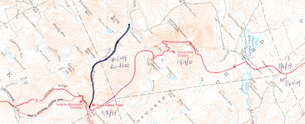
- click for an A.T. topo and profile map for this hike to Smart’s Mountain
- click for a map of the Appalachian Trail in New Hampshire (password protected)
- click for a trail map of the entire ~2200 mile Appalachian Trail
- click for more information on the Appalachian Trail
- click for Appalachian Trail hiking and backpacking books
- click to purchase the guidebook Appalachian Trail: New Hampshire – Vermont
- click for New Hampshire hiking and backpacking books
- click for more hiking & backpacking trips in the State of New Hampshire