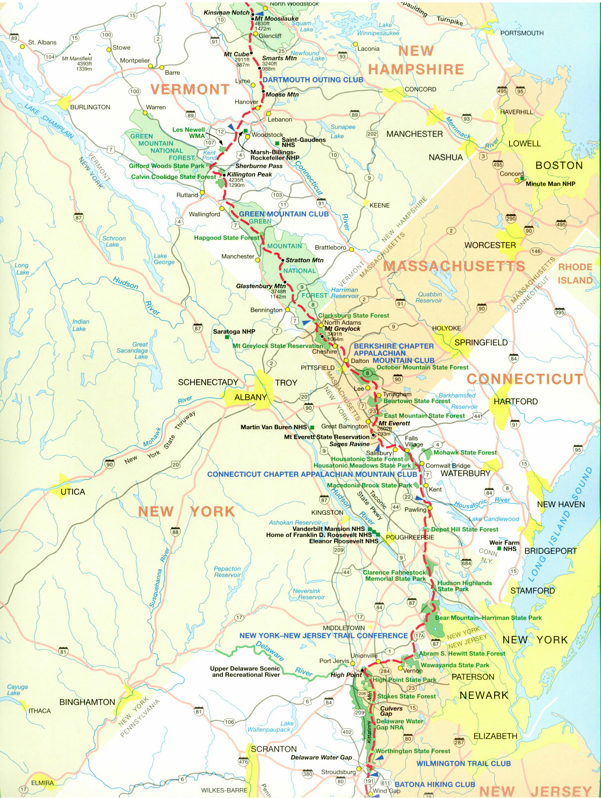
Appalachian Trail #5 (Cheshire to MA/VT Border)
Appalachian Trail Conservancy
799 West Washington Street
Harpers Ferry, WV 25425
(304) 535-6331

This section of the Appalachian Trail covers about 18 miles and features the most significant climb in Massachusetts. After leaving the trail town of Cheshire, the terrain shifts from flat valley fields to a challenging, steady ascent up Mount Greylock (3,491 feet). Greylock is the state’s highest peak and offers panoramic views of five states from its summit war memorial tower. Mount Greylock has outstanding views into New York, Vermont and Canada and was the first site in the nation to have a pay observation tower. The Bascom Lodge is located at the summit with bunkrooms, showers, meals, and a snack bar. The Mount Greylock State Reservation which surrounds the summit has 11,000 acres with an extensive trail system surrounding the A.T.
The town of North Adams and Williamstown are located just north of Mount Greylock on the A.T. These villages are the last opportunity for the northbound hiker to re-supply in the State of Massachusetts. From North Adams the trail traverses ascends to high ridgelines and lush forests before reaching the Massachusetts/Vermont border. This final stretch is remote – with the official state line marked only by a sign in the woods. Because there are no direct roads at the border, hikers must either backtrack down the Pine Cobble Trail to Williamstown or continue roughly three miles into Vermont to reach a parking area on County Road. The border also marks where the A.T. begins its 105-mile overlap with Vermont’s historic Long Trail.
- click for a short video slideshow of my 1994 hike on the Appalachian Trail
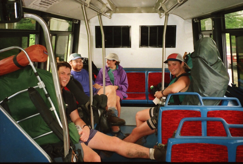
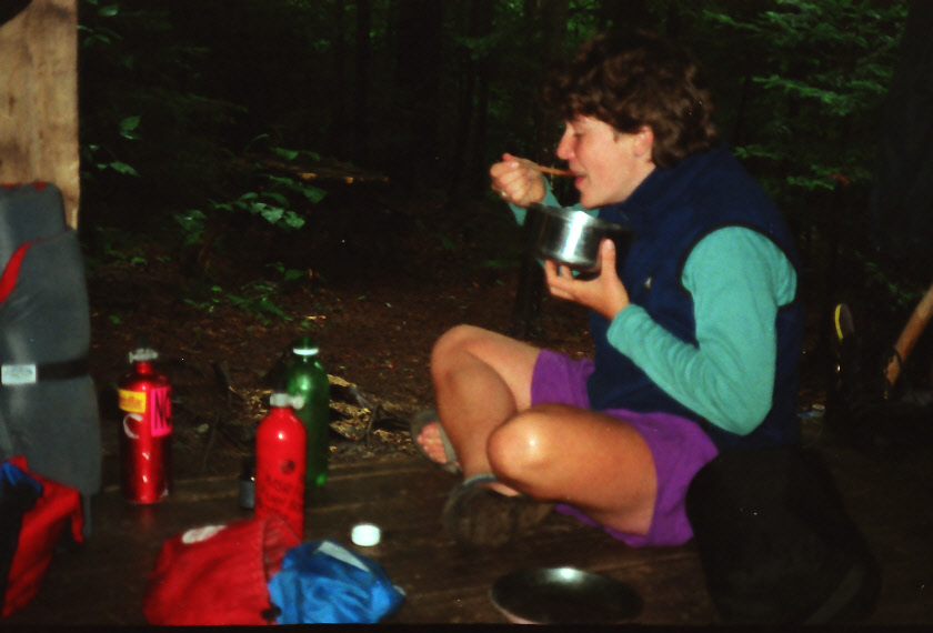
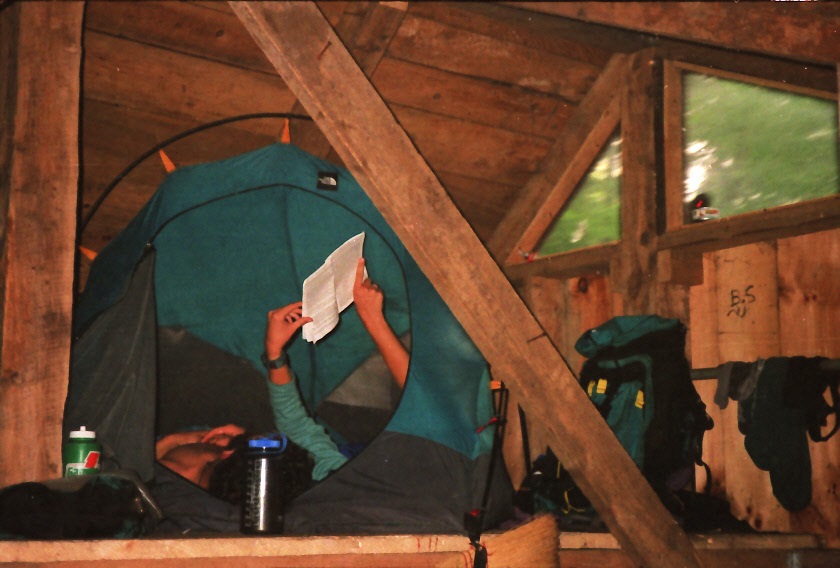
- click for more photos from the Appalachian Trail in Massachusetts: August 20-22, 1994
- click for a Daytimer report from this section of the A.T. near Cheshire (password required)
- click for a journal entry from this hike in Massachusetts: August 20-22, 1994 (password required)
- click for a day-by-day summary of BirdShooter’s 1994 Appalachian Trail thru-hike
- click for a topo and profile map of the A.T. from Cheshire to Mt. Greylock (password required)
- click for a map of the Appalachian Trail in Connecticut & Massachusetts (password protected)
- click for a trail map of the entire ~2200 mile Appalachian Trail
- click for a hike from Dalton to Cheshire in April 1996
- click for more information on the Appalachian Trail
- click for Appalachian Trail hiking and backpacking books
- click for more hikes in the State of Massachusetts