Appalachian Trail #3 (Upper Goose Pond to Dalton)
Appalachian Trail Conservancy
799 West Washington Street
Harpers Ferry, WV 25425
(304) 535-6331
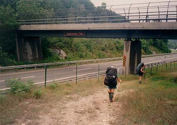
This section of the A.T. starts at the Upper Goose Pond Cabin and runs 20.5-miles to Dalton. The trail skirts the northern shore of the pond before reaching the Upper Goose Pond Cabin then crosses a footbridge at the Mass turnpike and immediately begins a steep and rocky ascent. This climb leads you onto the Berkshire Plateau, passing the 2,180-foot summit of Becket Mountain where there is a registration box tucked into the trees. The overgrown summit of Walling Mountain (2,220 feet) is the next peak in this section and it is a few miles south of the October Mountain shelter. The A.T. then continues past the Kay Wood Lean-To and winds its way down to Dalton.
Dalton, Massachusetts (~6,300 residents) is an official AT Community and is the point where the trail transitions from wilderness to pavement – following white blazes along residential sidewalks past the Station Road trailhead. The town welcomes hikers directly onto its residential sidewalks along High and Main Streets, offering resupply points and some renowned “trail angels” that have hosted hikers in his backyards for decades. Originally known as “Ashuelot Equivalent,” Dalton was first settled in 1755. It was officially incorporated in 1784 and named after Tristram Dalton, a merchant and Speaker of the Massachusetts House of Representatives. The Titch-Hoose House here is located on the Appalachian Trail and serves as a landmark for Dalton’s early 19th-century African American community – settled by individuals who had fled or been freed from slavery in New York.
- click for a short video slideshow of my 1994 hike on the Appalachian Trail
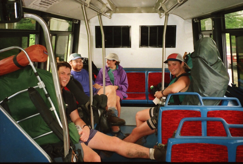
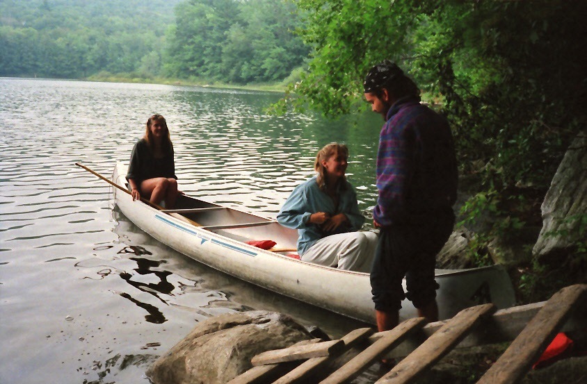
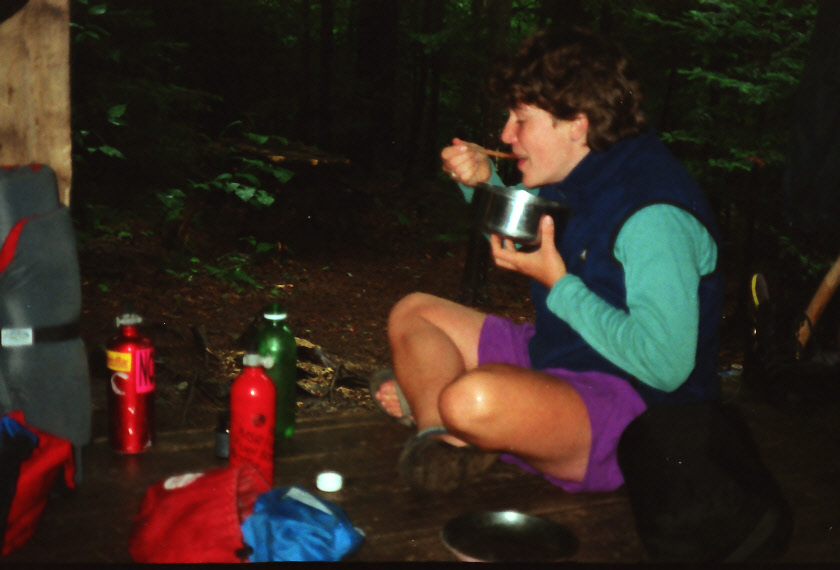
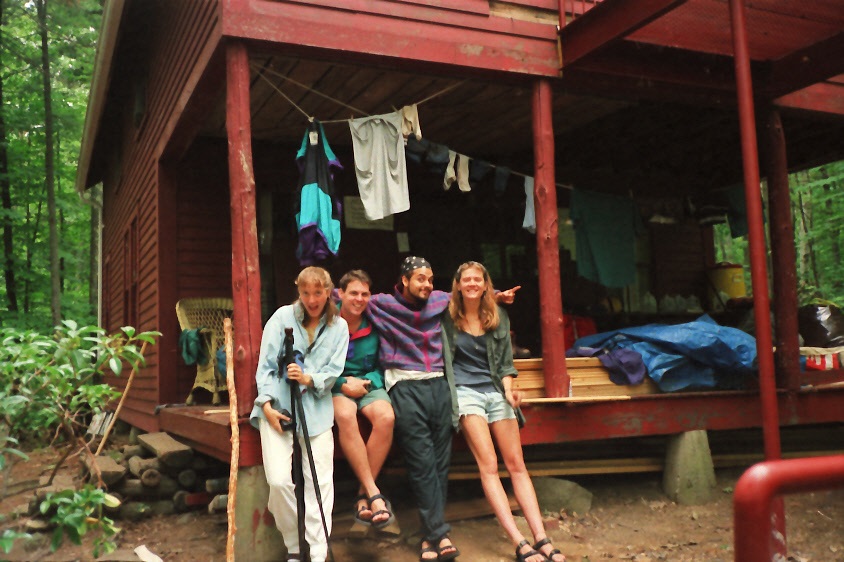
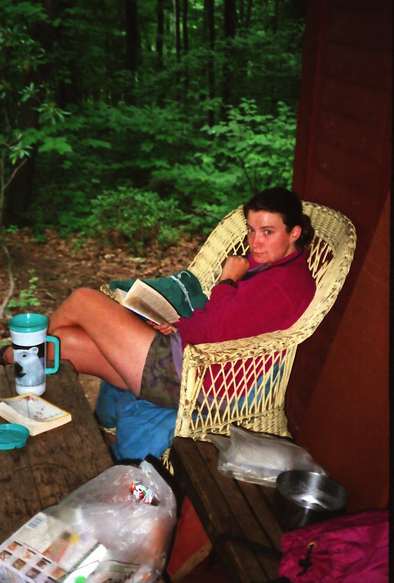
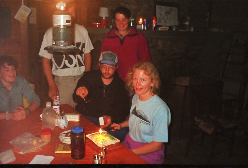
- click for more photos from the Appalachian Trail in Massachusetts: August 18-19, 1994
- click for a Daytimer report from this section of the A.T. near Upper Goose Pond (password required)
- click for a journal entry from this hike in Massachusetts: August 18-19, 1994 (password required)
- click for a day-by-day summary of BirdShooter’s 1994 Appalachian Trail thru-hike
- click for a topo and profile map of the A.T. from Upper Goose Pond to Cheshire (password required)
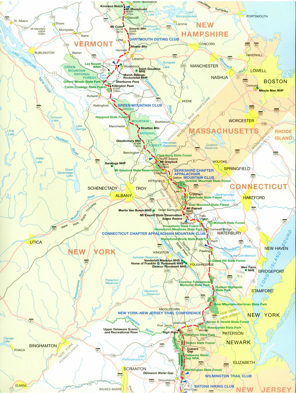
- click for a map of the Appalachian Trail in Connecticut & Massachusetts (password protected)
- click for a trail map of the entire ~2200 mile Appalachian Trail
- click for a hike from Sheffield to Upper Goose Pond in June 1996
- click for more information on the Appalachian Trail
- click for Appalachian Trail hiking and backpacking books
- click for more hikes in the State of Massachusetts