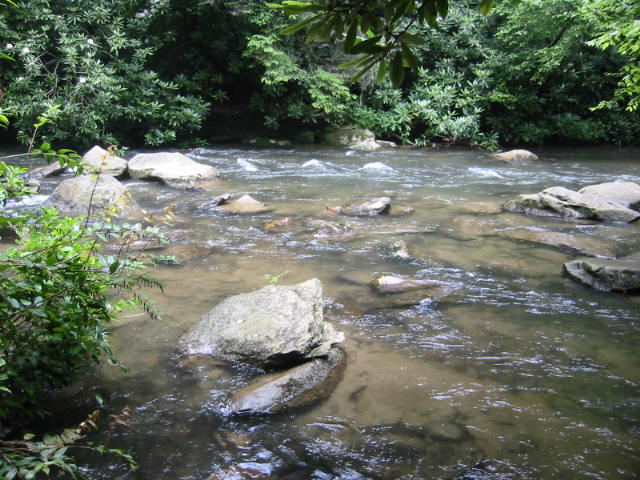
Jacks River
Cohutta Wilderness Area
National Forest Service
401 Old Ellijay Road
Chatsworth, GA 30705
(706) 695-6736

The Chattahoochee National Forest is one of two National Forests in the State of Georgia, and it takes its name from the Chattahoochee River whose headwaters begin in the North Georgia mountains. The River and the area were given the name by the English settlers who heard it from the Indians that lived here. The Chattahoochee was created when the Forest Service purchased 31,000 acres in Fannin, Gilmer, Lumpkin and Union Counties from the Gennett family in 1911 for $7.00 per acre. In the beginning, the Chattahoochee was part of the Nantahala and Cherokee National Forests in North Carolina and Tennessee, but eventually the Forest Service made additional land purchases and expanded the Chattahoochee to its current size of nearly 750,000 acres.
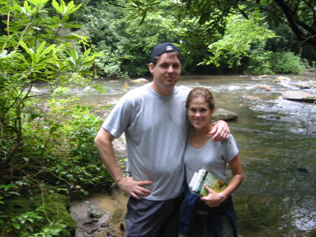
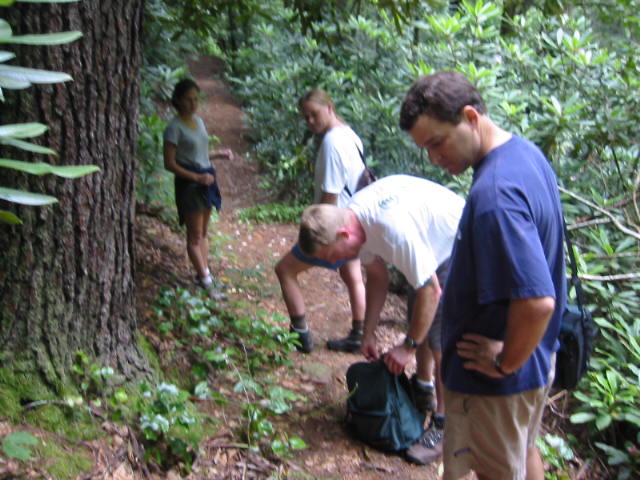
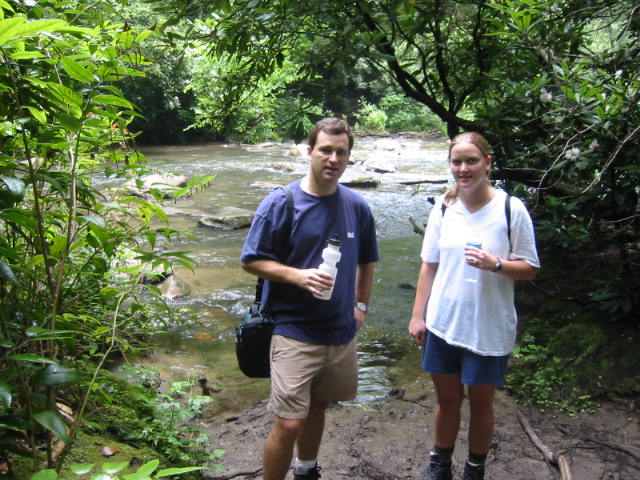
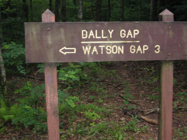
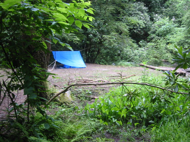
The Cohutta Wilderness at 36,977 acres is the largest National Forest Wilderness in the southeast and combined with the Big Frog Wilderness in Tennessee the area is some of the most pristine and isolated in the South. The Cohutta was owned, railroaded, and intensively logged by private timber companies up until the 1920’s when the US Government bought the land and began restoring it to protect the forest and watersheds. In 1975, Congress passed legislation adding the Cohutta Wilderness to the National Wilderness Preservation System. This is an easy backtrack hike from Dally Gap in the Cohutta to the Jacks River. It can be done as either a day or overnight hike.
- click for more photos from this hike in the Cohutta Wilderness: July 6, 2003
- click for a trip report from this descent to the Jacks River: July 6, 2003 (password required)
- click for a Trails Illustrated map of this hike in the Chattahoochee National Forest
- click for a USFS topographical map of the Cohutta Wilderness Area (password required)
- click for the Cohutta Wilderness access roads and their trailheads (password required)
- click for the Cohutta Wilderness hiking trails and their trailheads (password required)
- click for an overview of the Cohutta Wilderness Area hiking trails (password required)
- click for a topo and profile map from Dally Gap to the Jacks River (password required)
- click for hikes to the Conasauga River on the western side of the wilderness
- click for a hike to Birch Creek in the southern side of the wilderness
- click for the guidebook Hiking Trails Of The Cohutta & Big Frog Wilderness which has details on this hike
- click for other Georgia hiking and backpacking books