Osgood Campsite
Appalachian Trail Conservancy
799 West Washington Street
Harpers Ferry, WV 25425
(304) 535-6331
The White Mountain National Forest (WMNF) contains forty-eight peaks above 4,000 feet and encompasses five National Wilderness Areas — Pemigewasset, Dry River, Great Gulf, Sandwich Range, and Speckled-Carribou — along with major ridgelines such as the Presidential, Franconia, Carter/Wildcat, and Bonds ranges. The forest also includes several well-known notches, including Franconia, Crawford, and Pinkham, as well as popular destinations like Franconia Notch State Park, Crawford Notch State Park, and Mt. Washington State Park. Trail maintenance throughout the Whites is a coordinated effort involving the Appalachian Trail Conference (ATC), Appalachian Mountain Club (AMC), Dartmouth Outdoor Club (DOC), and numerous federal, state, and volunteer organizations. The AMC Hut system, a chain of eight mountain huts offering food and lodging high in the alpine zones, provides hikers with convenient overnight options, while numerous shelters and campsites offer a more traditional wilderness experience.
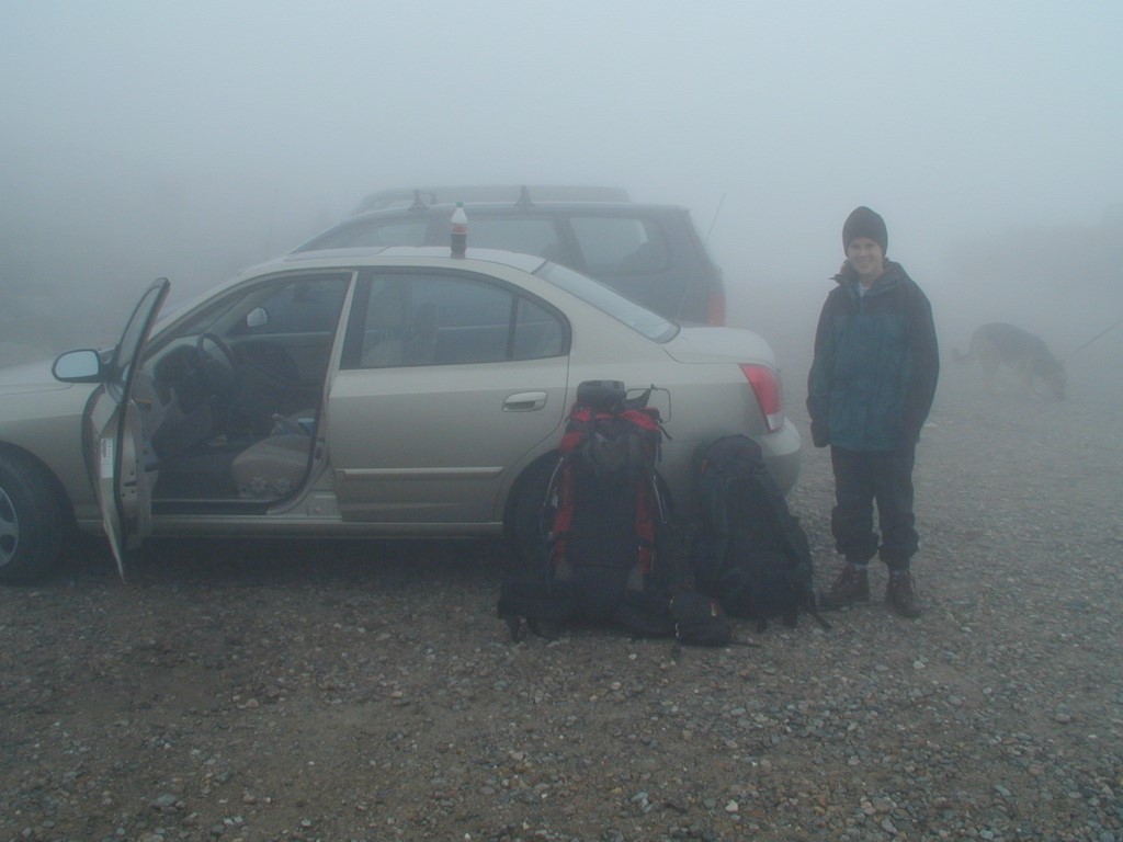
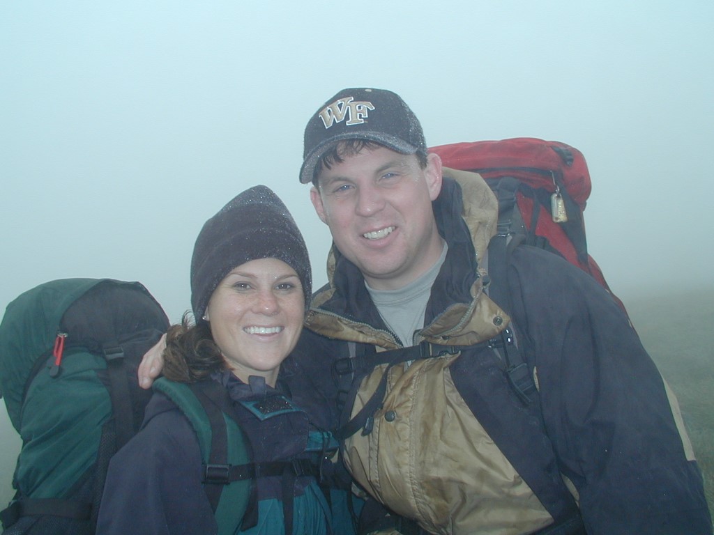
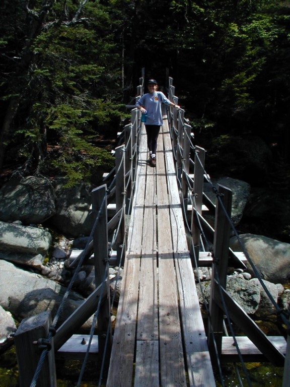
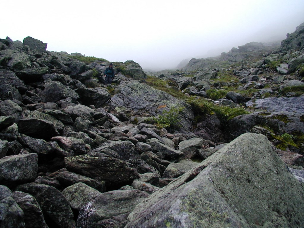
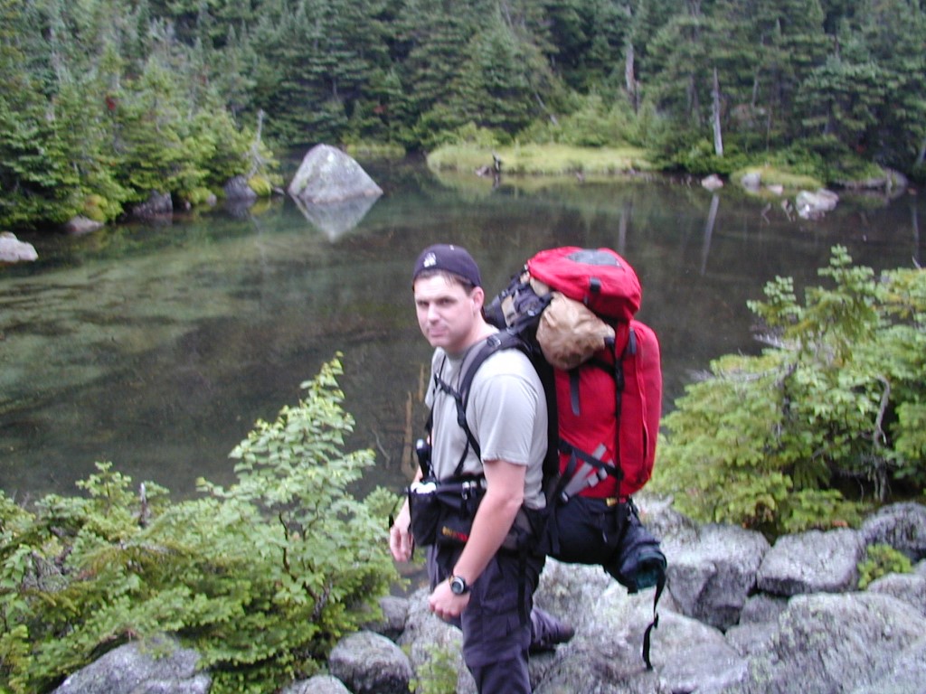
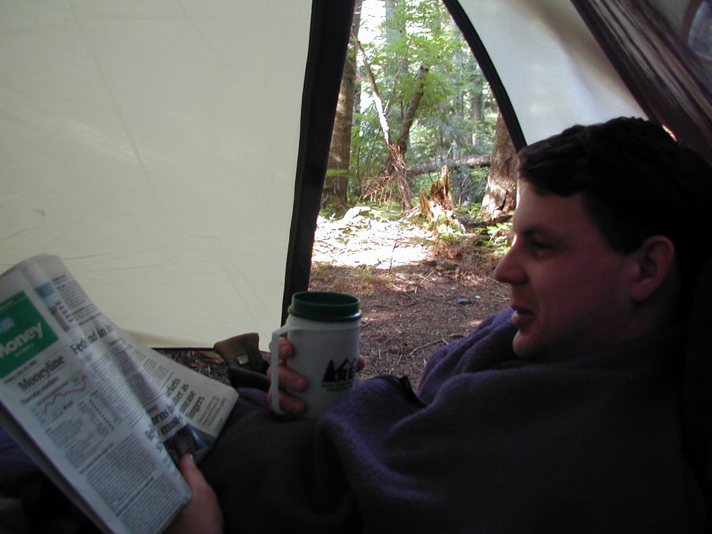
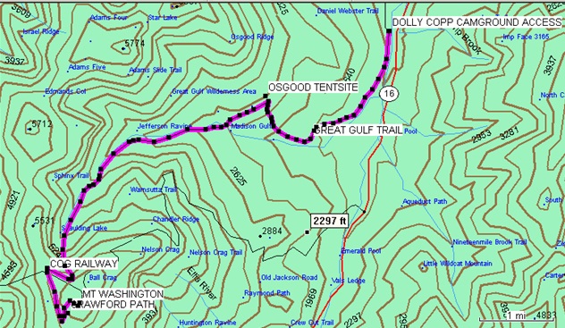
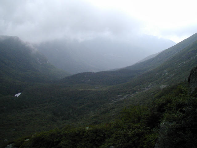
This hike begins at the summit of Mt. Washington and descends more than 5,000 feet in just over seven miles through a remarkable range of alpine environments, including tundra, fir, and hardwood forests, before ending at NH 16. The route follows the rugged Great Gulf and Gulfside Trails, passing the Osgood Campsite and two waterfalls that cascade beside the trail, providing welcome rest stops for exhausted legs. Rangers warned that the Great Gulf Trail becomes especially difficult in wet and foggy conditions — particularly between 4,500 and 6,200 feet — and the steep, rocky terrain quickly proved them right. When the clouds occasionally lifted above 4,900 feet, however, the views were spectacular and made the demanding descent worthwhile. By the time we reached the trailhead, we felt like we had completed a marathon and gladly hitched a ride back to the summit rather than continue hiking.
- click for more photos from this backpacking trip starting at Mt. Washington: July 28, 2002
- click for a detailed trip report from this hike in the White Mountains: July 28, 2002 (password required)
- click for a trip report from our hike to the Osgood campsite in the Whites: July 28, 2002 (password required)
- click for a trail map of this hike along the Great Gulf Trail to the Osgood Campsite
- click for a gps map of this backpacking trip from Mt. Washington to NH 16
- click for a trail map of the paths leading to the Osgood campsite
- click for a topo and profile map of a section of this hike from Mt. Madison to NH16 (password required)
- click for another hike in the White Mountain National Forest in November 2003 and September 2005
- click for more information on the Appalachian Trail
- click for a map of the Appalachian Trail in New Hampshire (password protected)
- click for Appalachian Trail hiking and backpacking books
- click for the guidebook Appalachian Trail: New Hampshire – Vermont which has details on this area
- click for more New Hampshire hiking and backpacking books