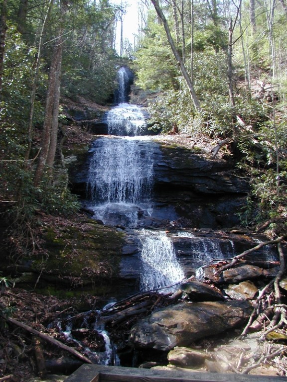
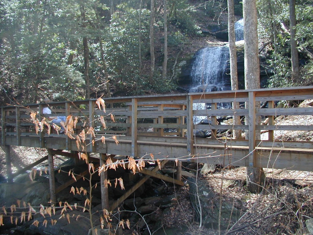
Lower & Upper Falls
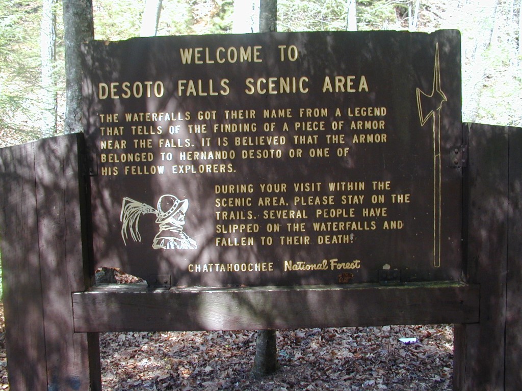
Chattahoochee-Oconee National Forests
1755 Cleveland Highway
Gainesville, GA 30501
770 297-3000

The Chattahoochee National Forest is one of two National Forests in the State of Georgia, and it takes its name from the Chattahoochee River whose headwaters begin in the North Georgia mountains. The River and the area were given the name by the English settlers who heard it from the Indians that once lived here. The Chattahoochee National Forest was created when the Forest Service purchased 31,000 acres in Fannin, Gilmer, Lumpkin and Union Counties from the Gennett family in 1911 for $7.00 per acre. In the beginning, the Chattahoochee was part of the Nantahala and Cherokee National Forests in North Carolina and Tennessee, but eventually the Forest Service made additional land purchases and expanded the Chattahoochee to its current size of nearly 750,000 acres.
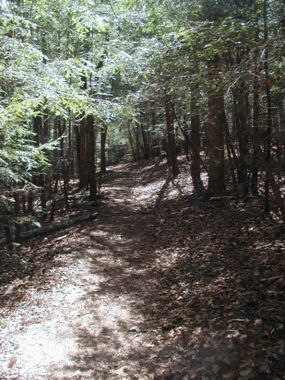
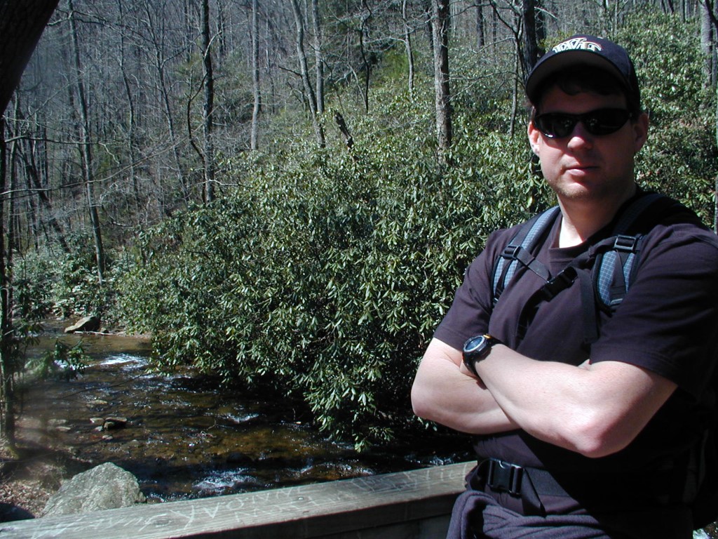
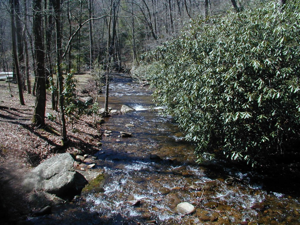
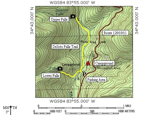
The Desoto Falls Recreation Area is located in the Chattahoochee nears Neels Gap and north of Dahlonega on GA 19/129. The area allows camping (at 24 campsites equipped with tent pads, picnic tables and grills), hiking, and fishing along Frogtown Creek. The hike along the two mile Desoto Falls Trail is a popular activity in the recreation area, and the first mile of the trail is fairly easy and leads to the lower and upper waterfalls. No backcountry camping is permitted near any of the falls, so you will have to use the drive-in facilities off GA 19/129.
- click for more photos from this hike to Desoto Falls: March 24, 2002
- click for a detailed trip report from this area near Neels Gap: March 24, 2002 (password required)
- click for a trip report from this hike in the Chattahoochee National Forest: March 24, 2002 (password required)
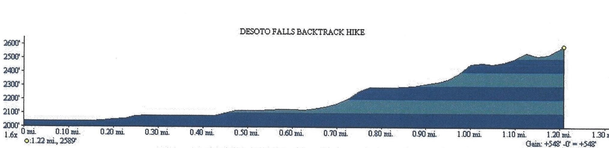
- click for a topographical and profile map of this hike to DeSoto Falls (password required)
- click for a National Forest map of the wilderness around the falls
- click for a topographical and profile map of this hike to DeSoto Falls (password required)
- click for another hike to Desoto Falls in the Blood Mountain Wilderness in August 2023
- click for the guidebook Best Hikes With Dogs Georgia And South Carolina which has details on this area
- click for other Georgia hiking and backpacking books