|
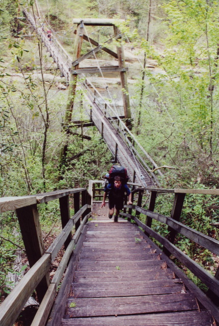
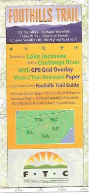
The Foothills Trail is a 76 mile pathway cut in the western mountains of North and South Carolina and it runs from Table Rock State Park in Pickens County to Oconee State Park in Oconee County. The trail crosses some of the most rugged and beautiful terrain in the Southeast and provides access to Sassafrass Mountain, the highest peak in South Carolina. The Foothills Trail Conference supports and maintains the trail, and their Guide To The Foothills Trail is the best source of information available for this route. It is a 110 page book that includes the history of the trail, helpful information for backcountry hikers, section descriptions and maps, supplemental information on spur trails and parking areas and a profile of the terrain on the trail. The Foothills Trail At NC 281 and along the North Carolina and South Carolina border, the Foothills Trail leaves the Gorges section at Upper Whitewater Falls. The Falls, also known as Upper Falls, are some of the highest east of the Rockies at 411 feet. There is are two great viewing platforms only a short distance from the parking area off NC 281, and thousands of visitors stop here each year to have a look at Upper Whitewater Falls and at Lake Joccasee to the south. The Foothills Trail ascends from NC 281 over Round Mountain and down toward the Sloan Bridge access area which has a small six foot waterfall only a short distance from the parking lot. The Trail then climbs up and over Medlin
|


Speak Your Mind