Ferry Bluffs
Wisconsin Department of Natural Resources
101 S. Webster Street
Madison, Wisconsin 53707-7921
888-936-7463
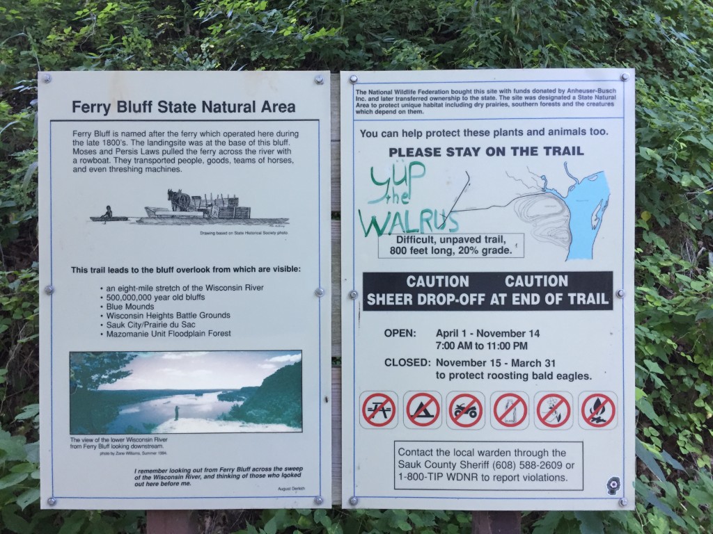
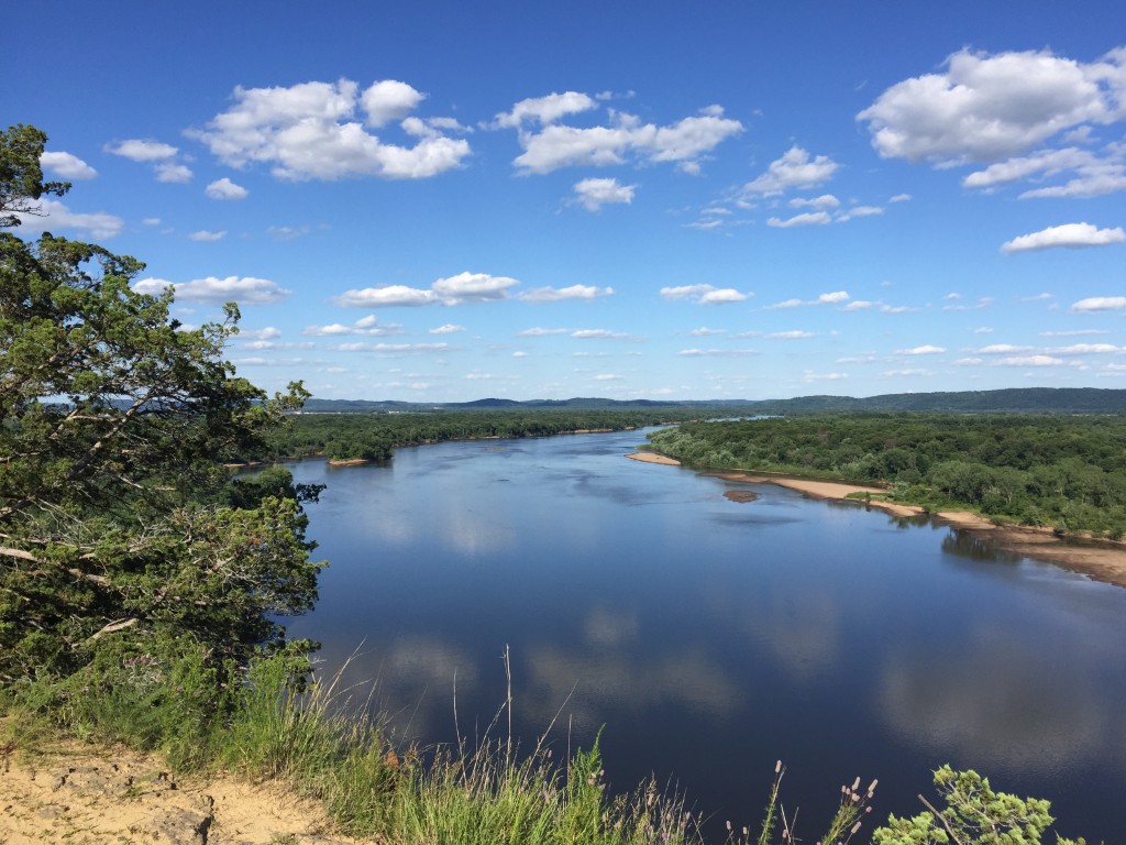
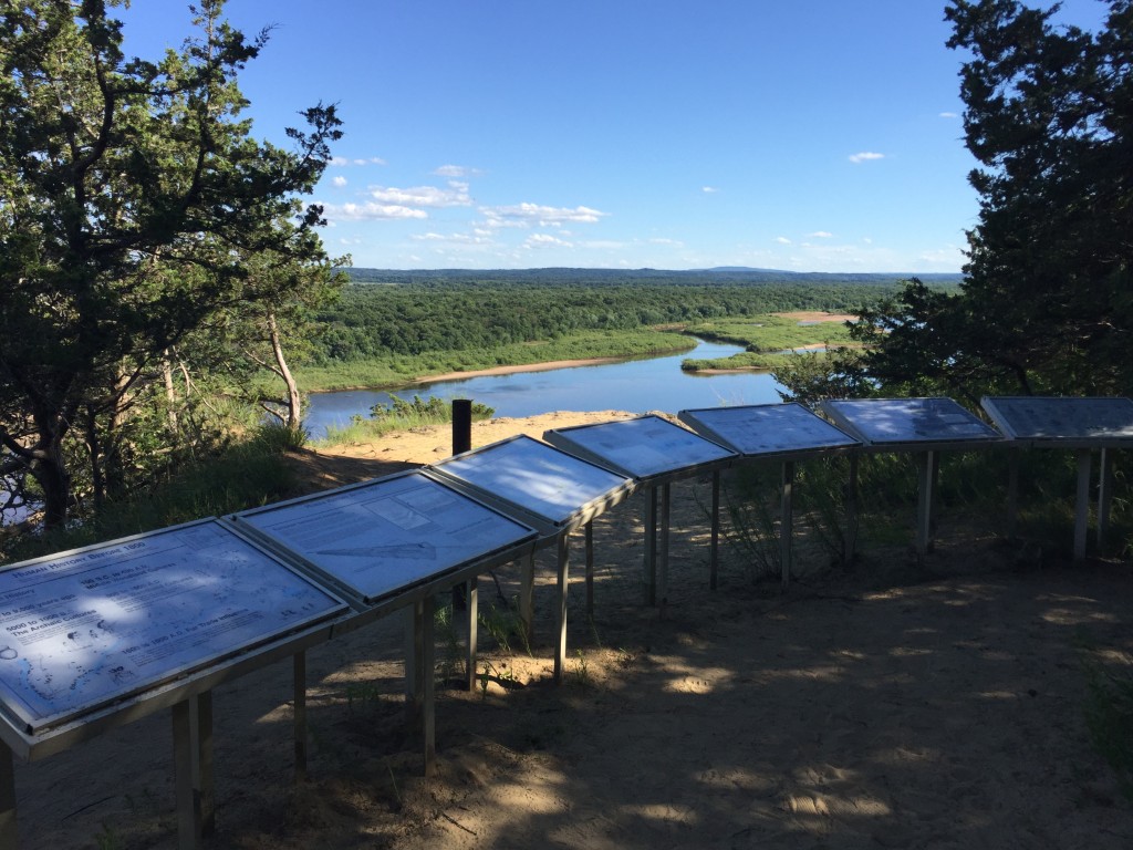
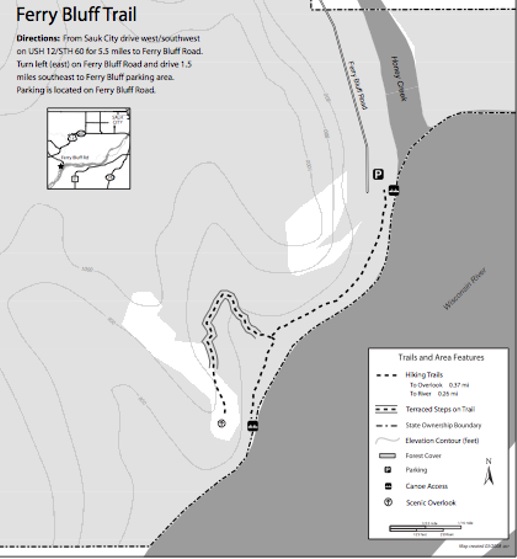
Ferry Bluff and the adjacent Cactus Bluff tower more than 300 feet above the confluence of Honey Creek and the Wisconsin River. Both provide outstanding views from their sandstone cliffs and down to the river valley below. During the Civil War, a ferryboat landing was located at Honey Creek and it shuttled people and goods across the river. Today Ferry Bluff is owned by the DNR and was designated as a State Natural Area in 1988. The bluffs are located about five miles west of Sauk City via Wisconsin state highway 60 West. At Ferry Bluff Road follow it south ~1.1 mi to the parking lot by the river
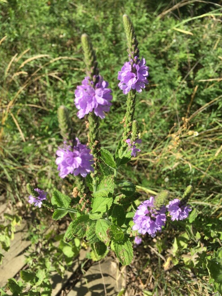
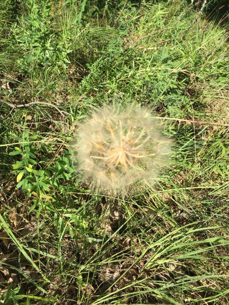
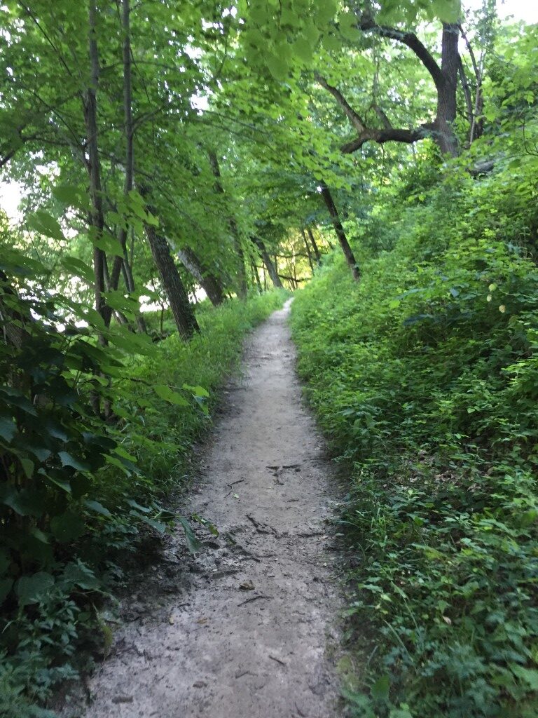
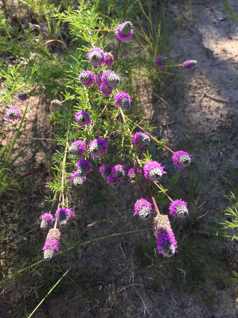
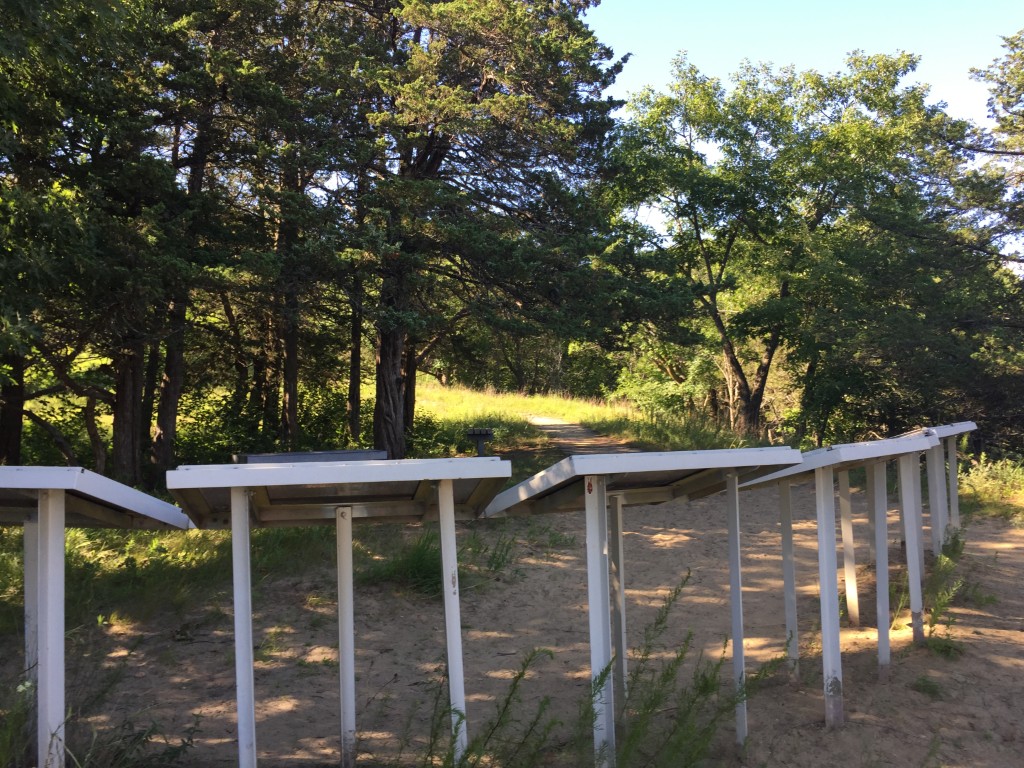
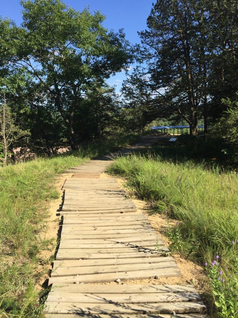
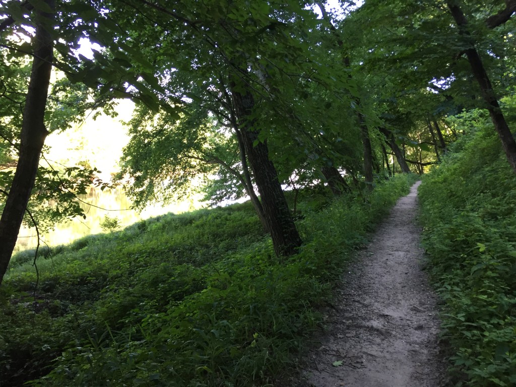
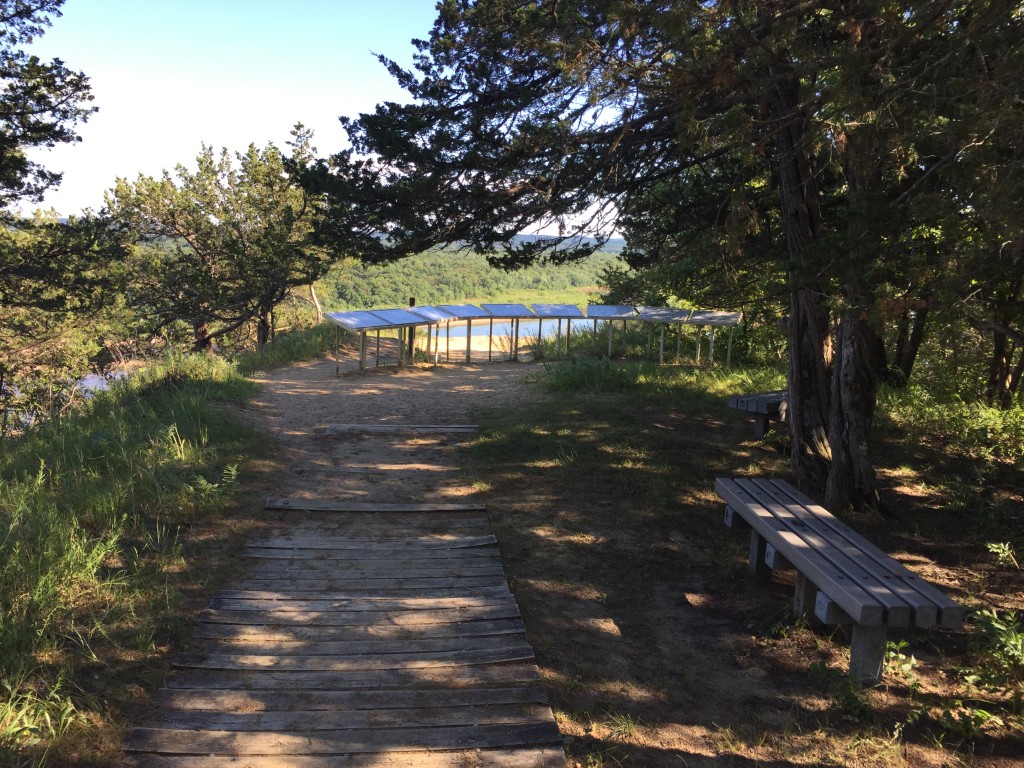
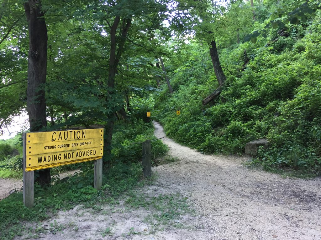
The main hike is short (~0.6 mi round-trip) but steep, with a switchback trail climbing ~feet to an informal overlook at Cactus Bluff. This is a short hike to Ferry Bluff that starts at the parking area at Honey Creek. Stay to the right side of the creek and follow the path toward the Wisconsin River – then up to the bluff where there are a number of signs that provide the history and details of the surrounding landscapes. There are outstanding views up and down the river from Ferry Bluff, but nothing in place to keep you from falling off the cliff. So choose your steps carefully. These cliffs are vital winter roosts for bald eagle and hundreds gather here. So the trail is closed from December 1 through March 31 to protect wintering eagles.
- click for a trip report from this hike on the Ferry Bluffs Trail: July 17, 2018 (password required)
- click for a park map of this hike in the Ferry Fluffs State Natural Area (password required)
- click for a topo and profile map of this hike on the Ferry Bluffs Trail (password required)
- click to purchase the guidebook Hiking Wisconsin with more hikes in the State
- click for another hike in central Wisconsin at Kettle Moraine State Forest
- click for a hike we did earlier this week on the Pioneer Trail
- click for a hike we did the previous month to Rainbow Lakes
- click for more hikes in the State of Wisconsin